Upper Harding Wood, Ford Street - Sold
Details for this wood
Guide price: £89,000 - Freehold
Size: Over 8 acres
Location: Ford Street, Somerset
OS Landranger: 193
Grid ref: ST 158 171
Nearest post code: TA21 9PD
Contact: Ben Williamson
Phone: 07958 213 914
Email: [email protected]
Email to a friend
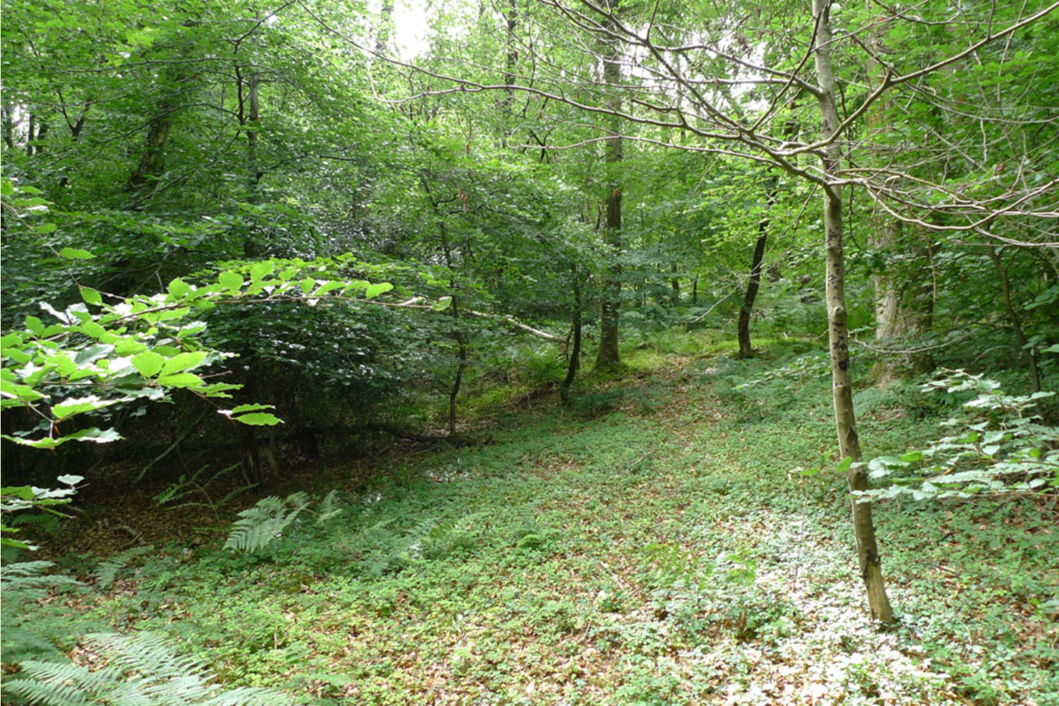
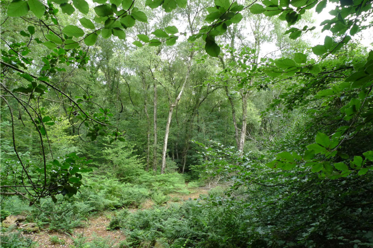
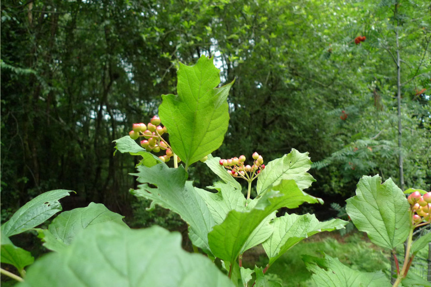
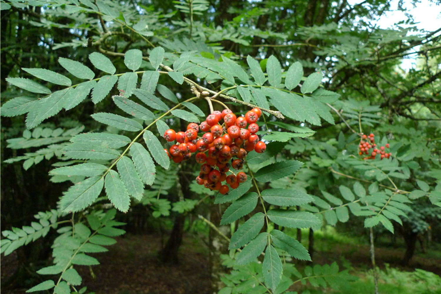
Somewhere to go and get relief from Covid 19. A substantial mature woodland full of wildlife where bird song says you are in the countryside, set on well-draining high ground.
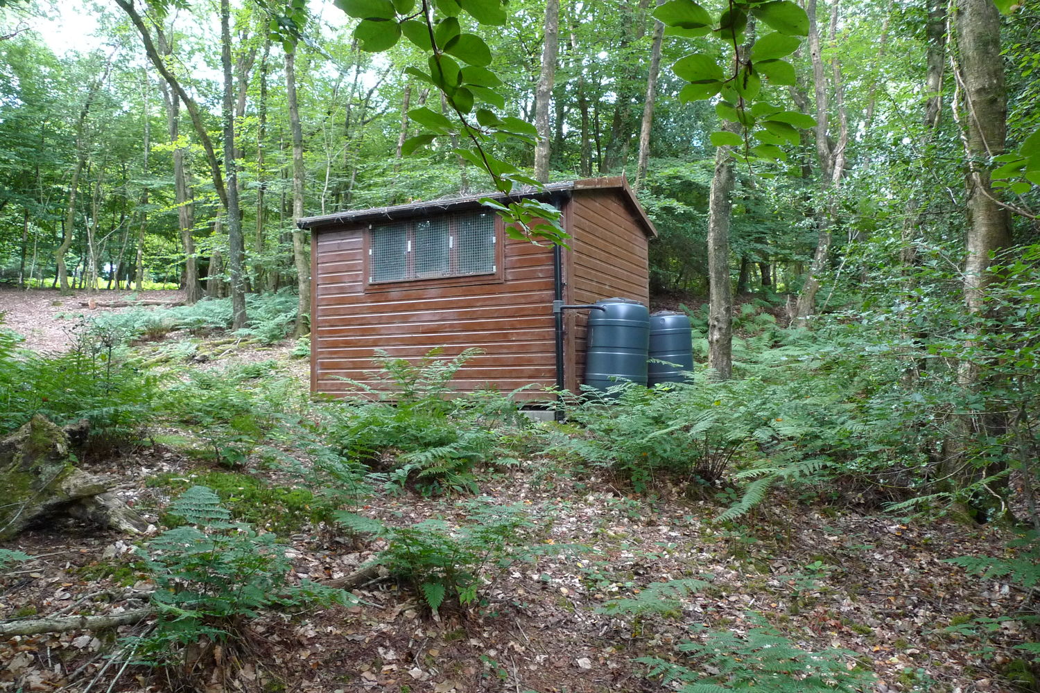
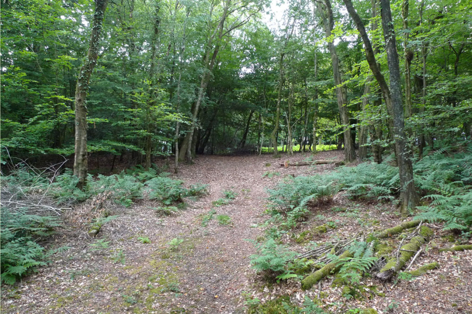
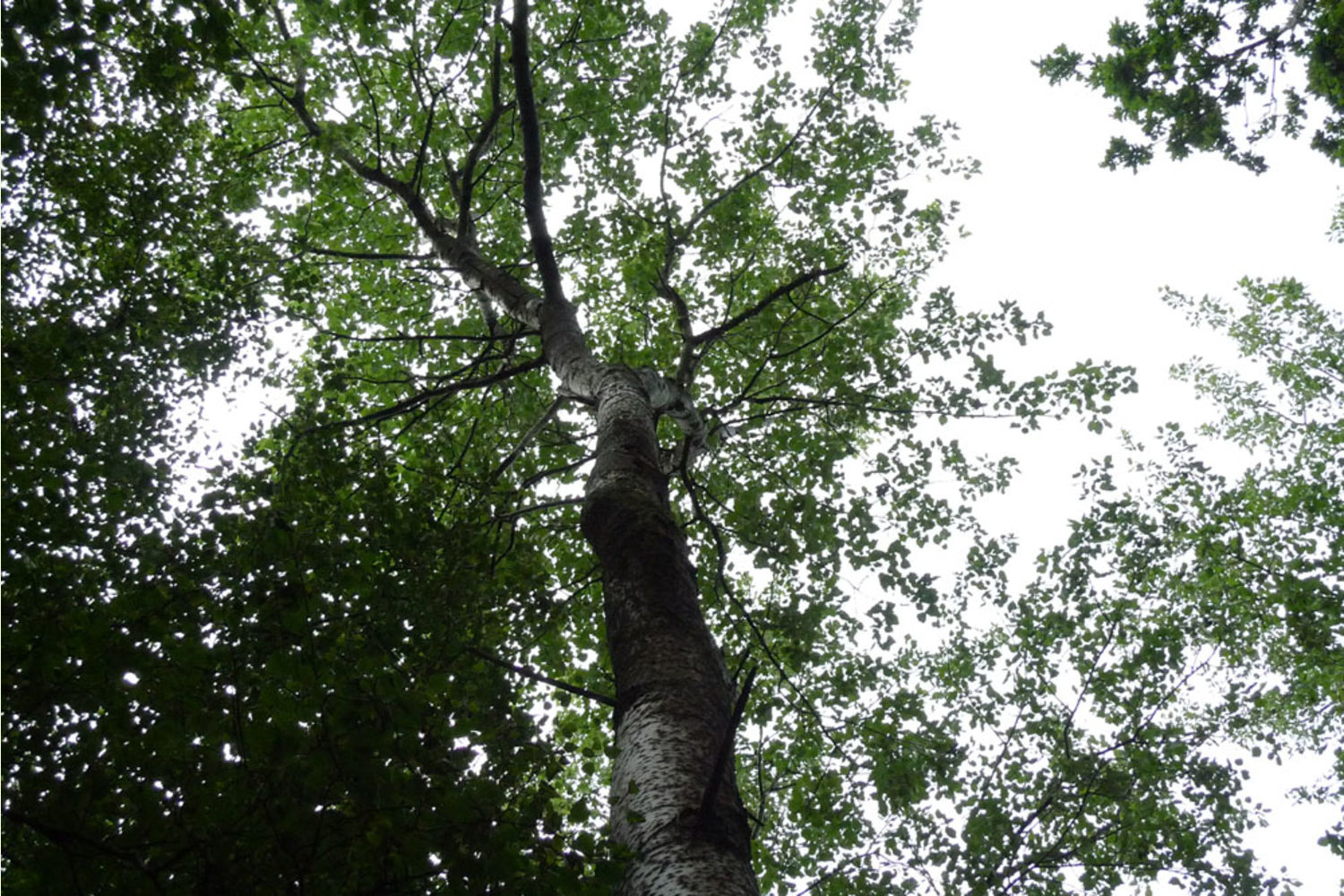
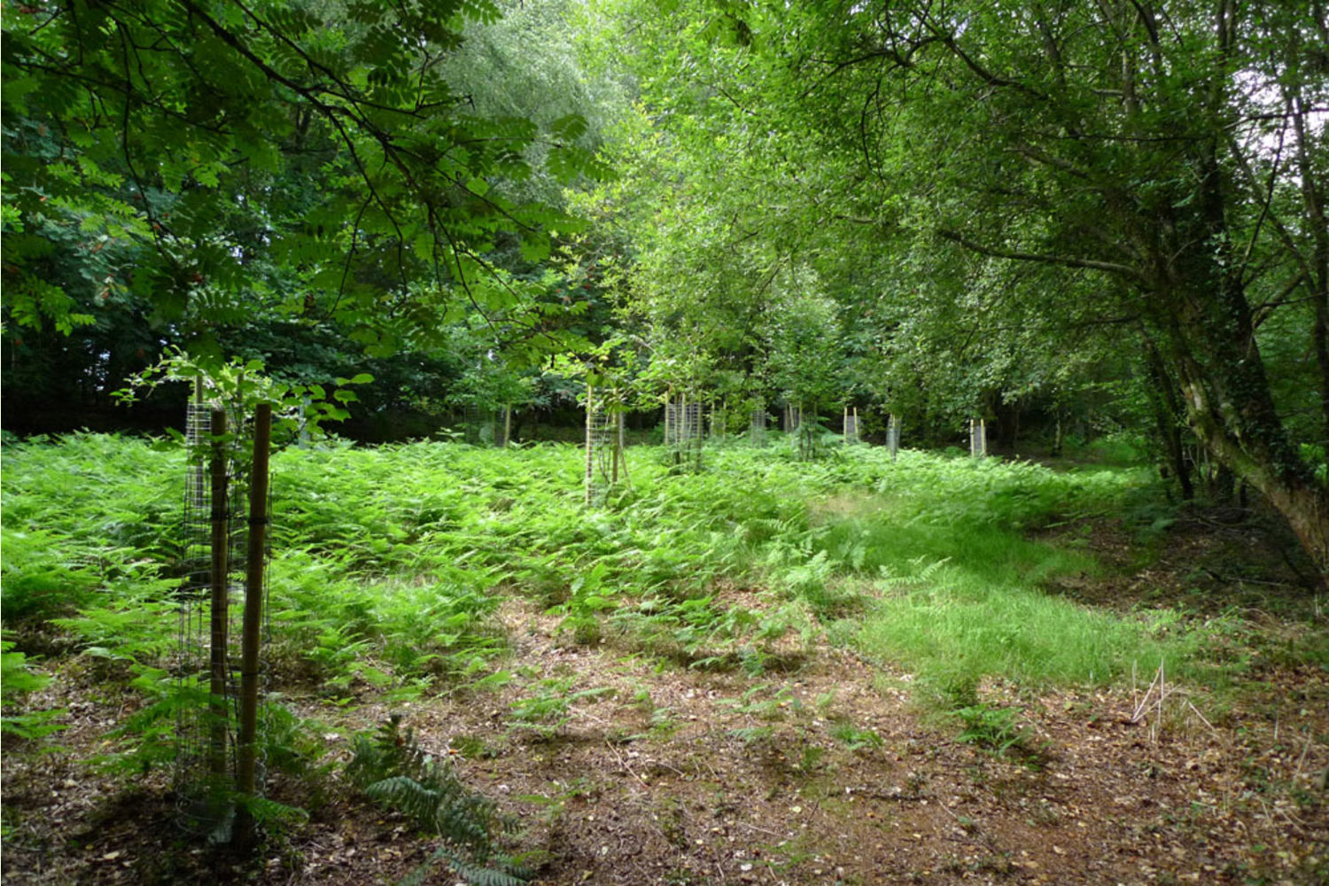
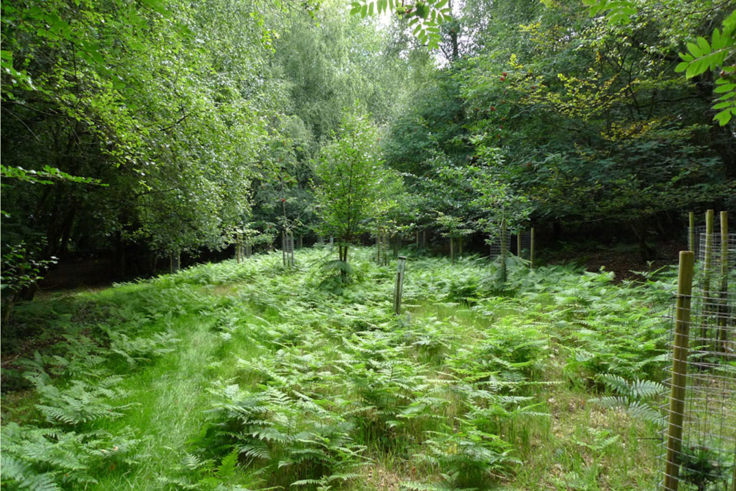
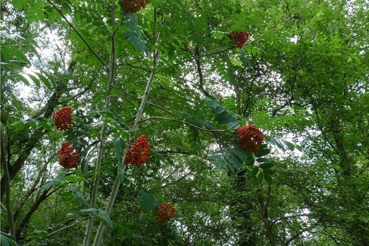
A small hut is a focal point for the wood, and for the owners; it is ideal for overnighting, sheltering while winter wood-working or for storing forestry materials. An internal track winds through the mature beech, past oak and what we think is rare black poplar to the open area by the hut. Water tanks store rainwater collected from the roof. In the lower parts of the wood there are damp fern-rich areas where a pond could be excavated or a sump created for water collection. In the higher parts the small open area has been planted with a variety of shrubs and trees which are now well-established.
All the mature large trees have been mapped by the current owner and are shown on the plan at the end of the photos.
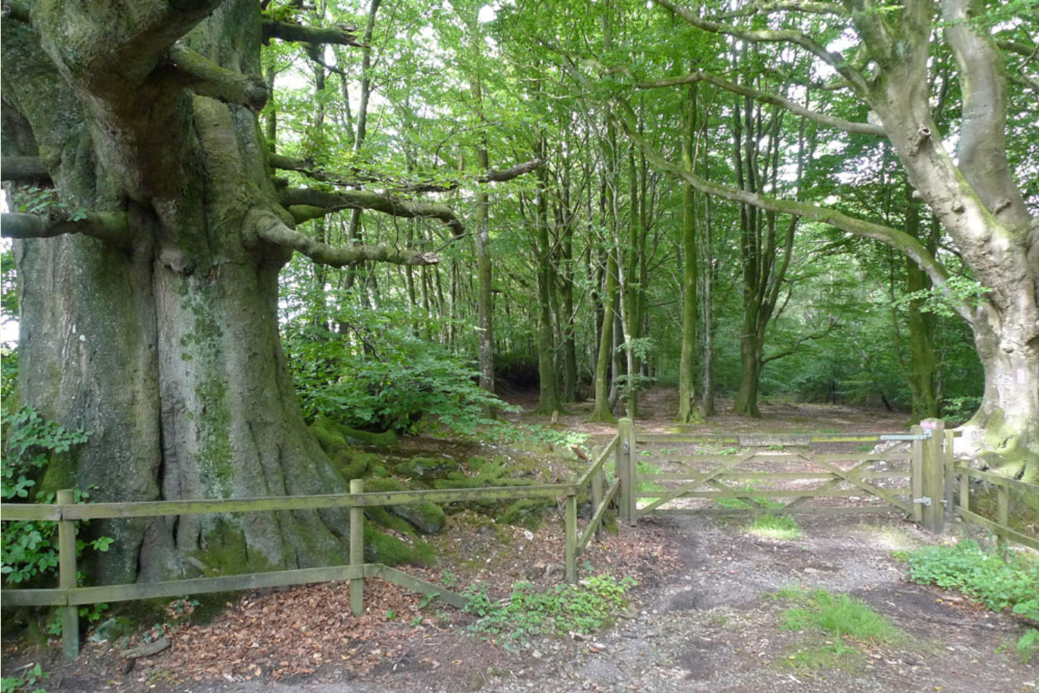
Upper Harding Wood is private, there are no public rights of way through it.
Overage The use of this land is as woodland and forestry. If in the next 13 years (to 2033) planning permission is gained for an alternative use then 20% of the uplift in value resulting from a development will be due to a previous owner. This does not affect any 'permitted' developments the wood enjoys. Sporting rights are included.
Environs Located on the edge of a large wooded area known as Gortnell Common it is no longer a common it was enclosed by Act of Parliament. This part of Somerset is well-wooded with small fields and hedgerows inside the beautiful Blackdown Hill AONB with views over to the Quantocks. Although conveniently near the M5 it is not affected by it. The Half Moon Inn, just down the road at Clayhidon is worth a visit.
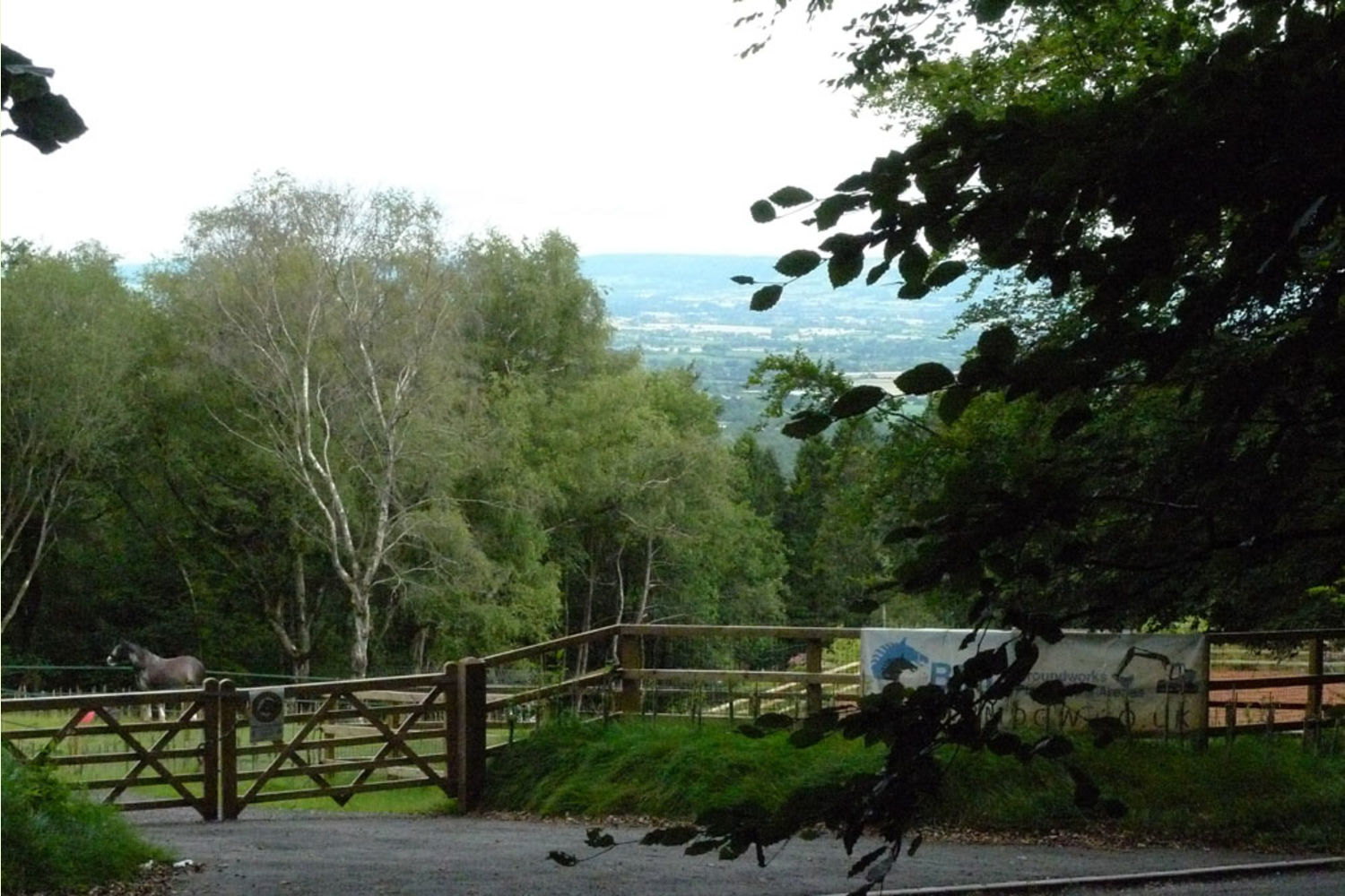
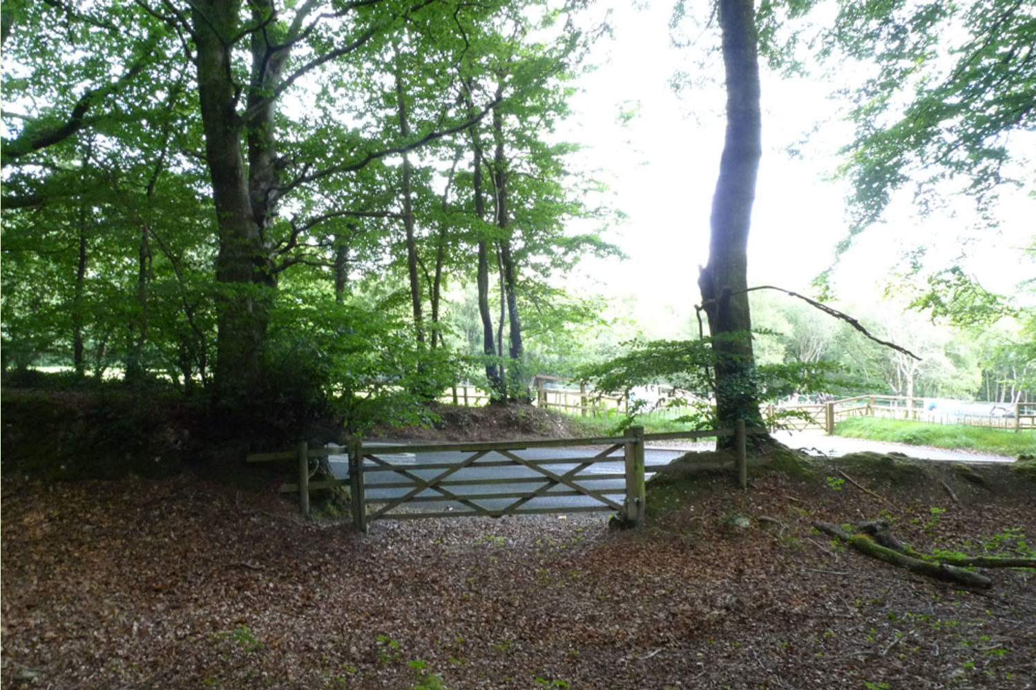
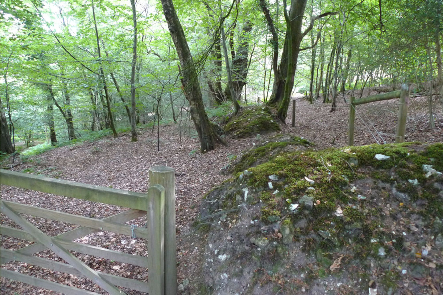
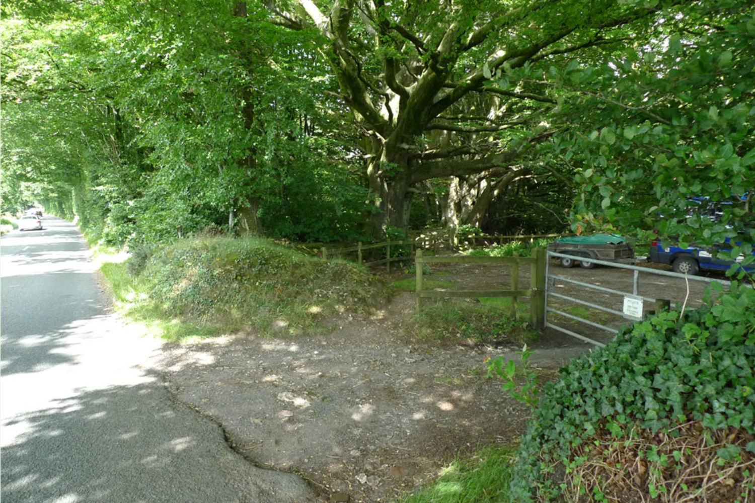
Access This is through a shared gate onto the public highway, there is a full right of way in perpetuity across the short distance to the woodland gate. See plan. Maintenance is according to use made but it is substantial. In addition there is a gate onto Hemyock, the lane to the north west of the wood.
Boundaries The wood is bounded by earth banks.
Viewing: You are welcome to view this wood by yourself from the track alongside leading down to the camping meadow area, but please ensure that you have a copy of these sales details with you. Many of our woodlands do not have mobile phone reception or internet access so we recommend either printing the details or downloading them to your phone/tablet/laptop.
Click HERE to see free OS maps scroll out for a wider view.
CLICK HERE for better quality maps to print out.
Maps are : © Crown copyright and database rights 2020 OS Licence no.100057987
Our Maps (Click on a map to see a large version)
Our Maps
Directions
Upper Harding Wood is just south west of Taunton.
For Satnav: the nearest postcode is TA21 9PD as shown by the red dot on the maps. Coordinates for your satnav areN50.94766, W3.19585
Click here for Bing Maps Directions enter your own postcode and click on the "Go" box.
- This will take you to the shared roadside access gate.
- Please do not block this gate.
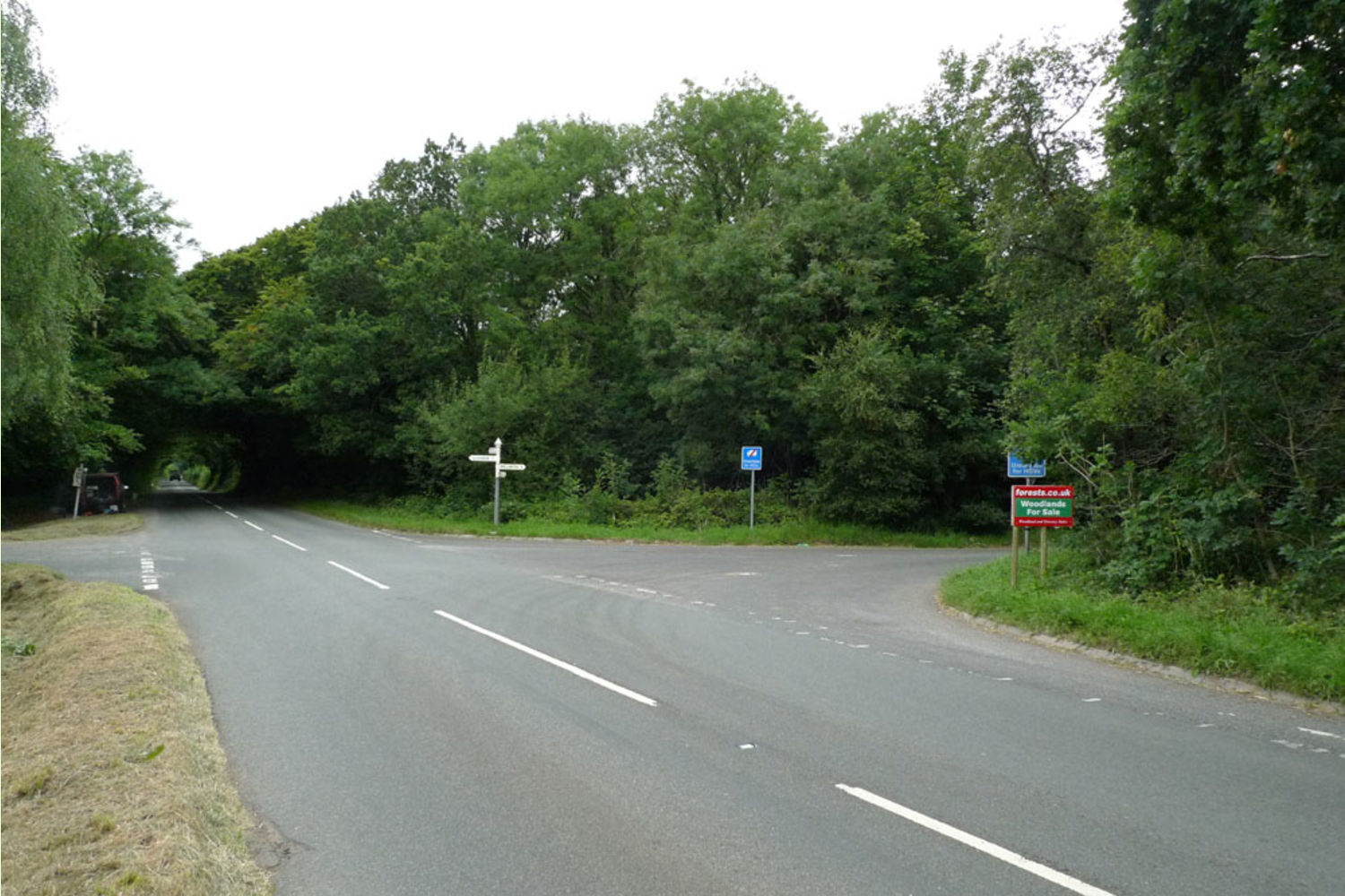
- It is easier to park at the cross roads on the other side of our for sale sign. See photo.
- Then walk back to the woodland.
- Walk round the side of the road gate then go left to Upper Harding Wood, wooden gate.
Beware: There is access off the M5 at junction 26, then about 1 mile to the wood. Your satnav might not like this route! See our OS map 2.
Please note: the particulars with plans, maps, descriptions and measurements are for reference only and although carefully checked we cannot guarantee their accuracy and do not form part of any contract. Any intending purchasers must satisfy themselves by inspection or otherwise as to the correctness of these particulars.