East Mount woodland - Sold
Details for this wood
Guide price: £34,000 - Freehold
Size: About 3⅔ acres
Location: Woodmansterne, Surrey
OS Landranger: 1
Grid ref: TQ 283 598
Nearest post code: CR5 2PX
Contact: Ben Williamson
Phone: 07958 213 914
Email: [email protected]
Email to a friend
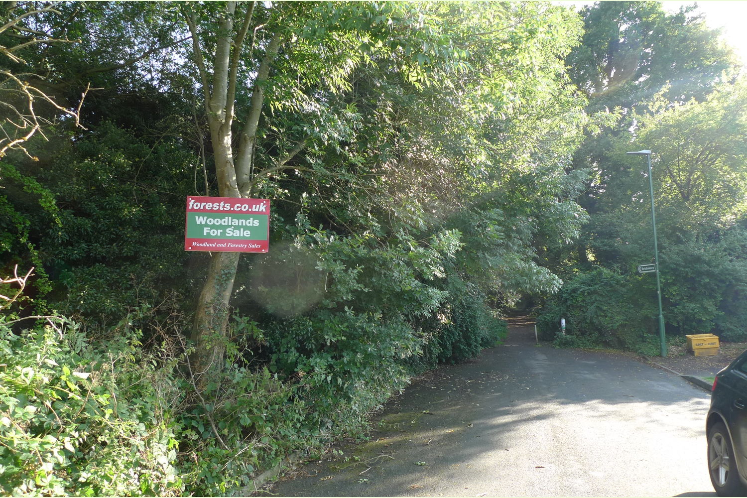
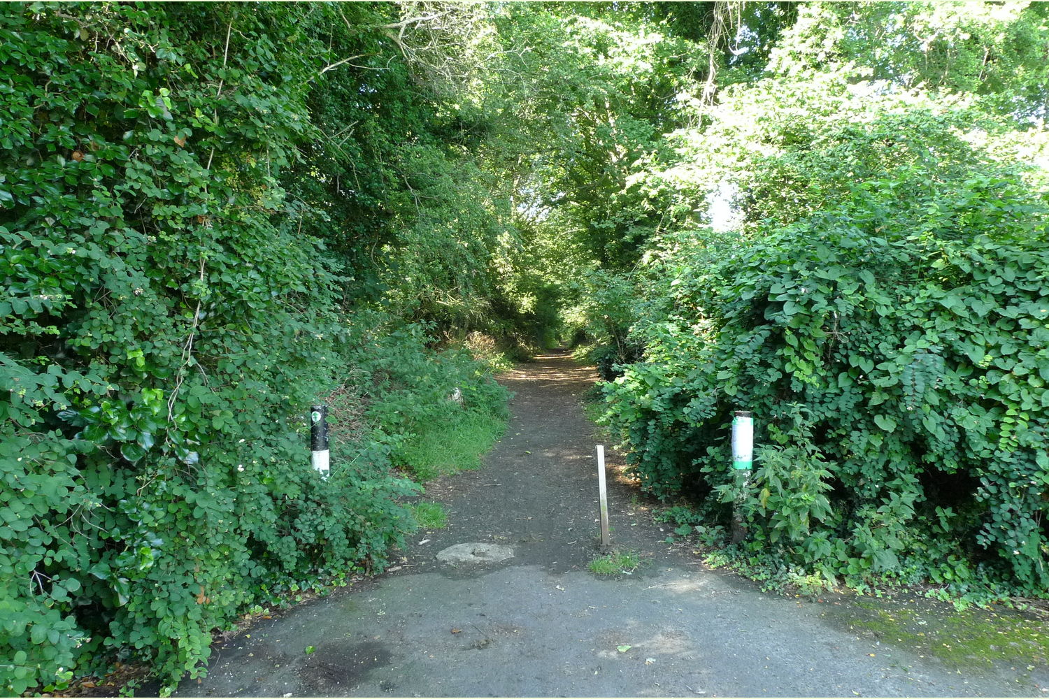
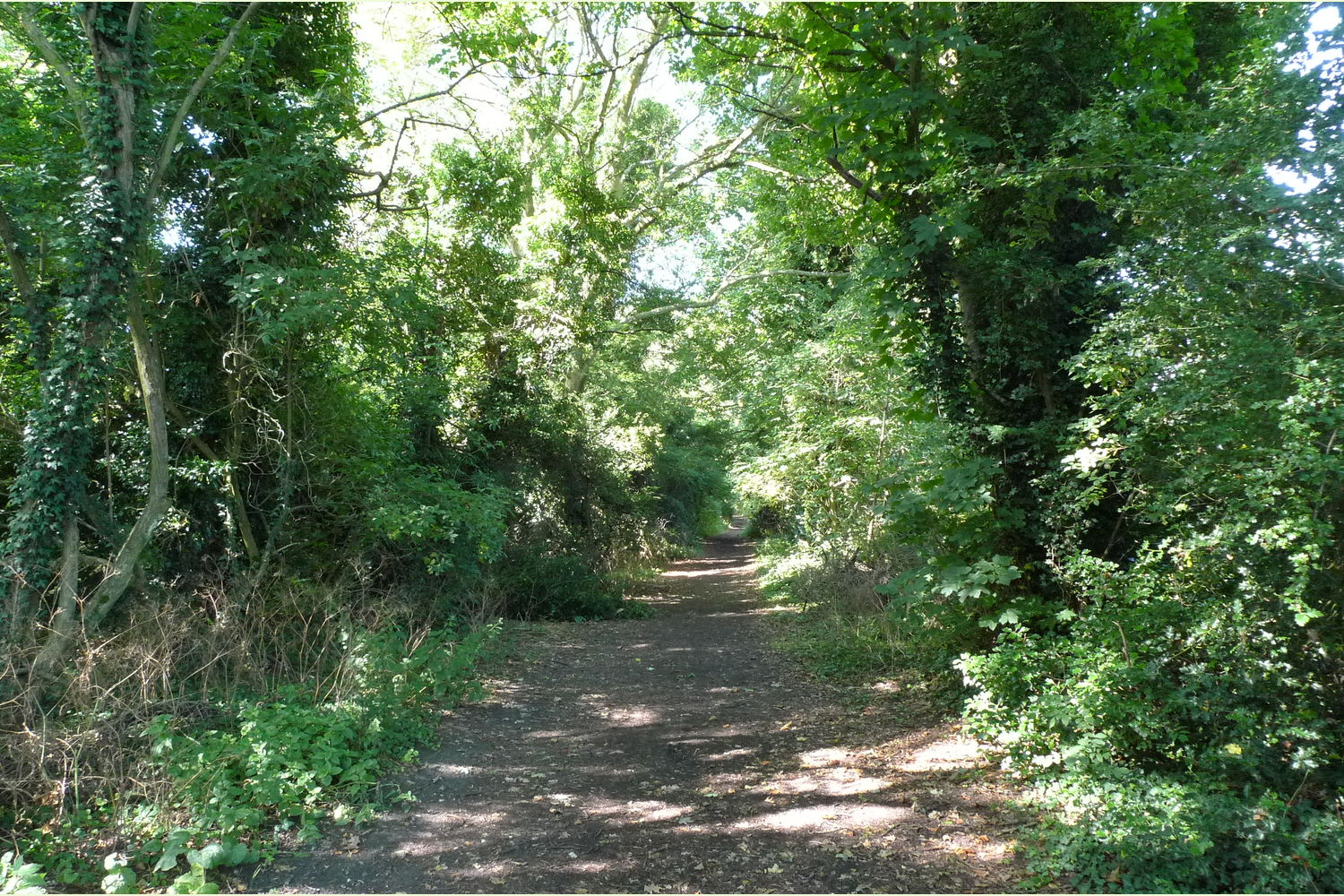
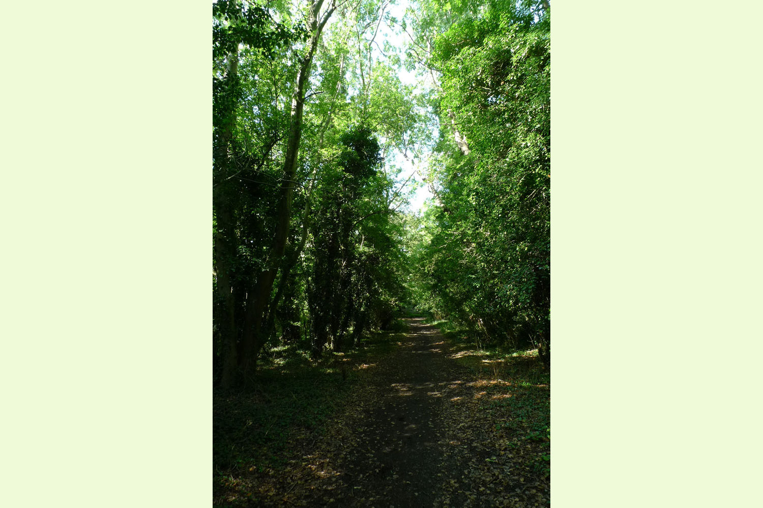
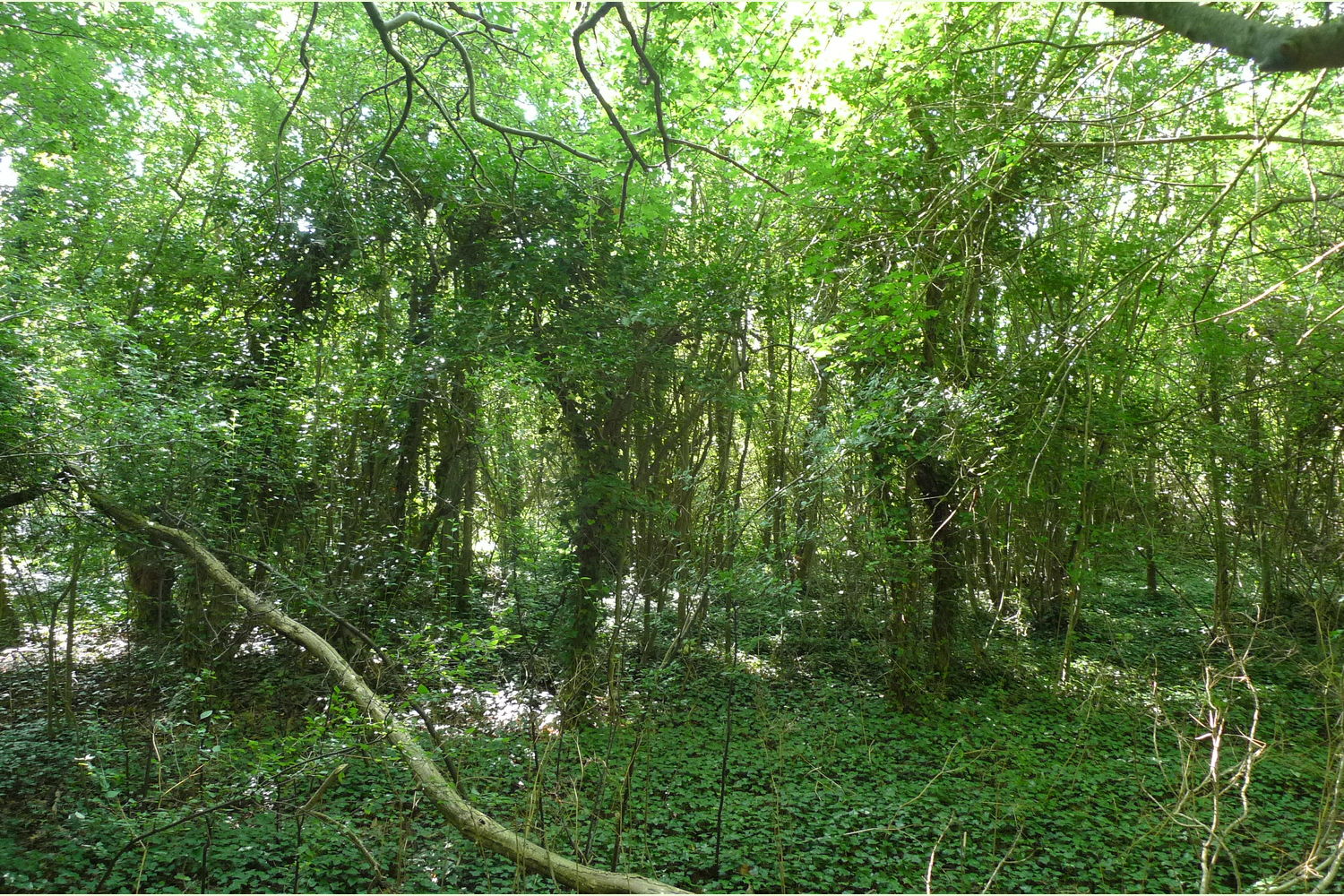
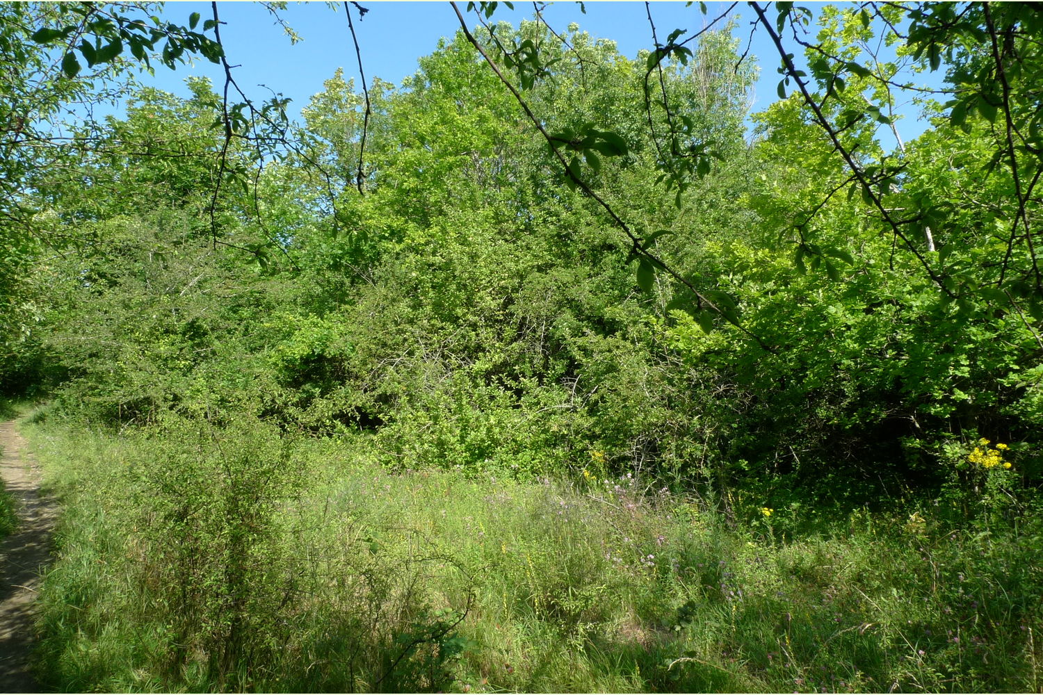
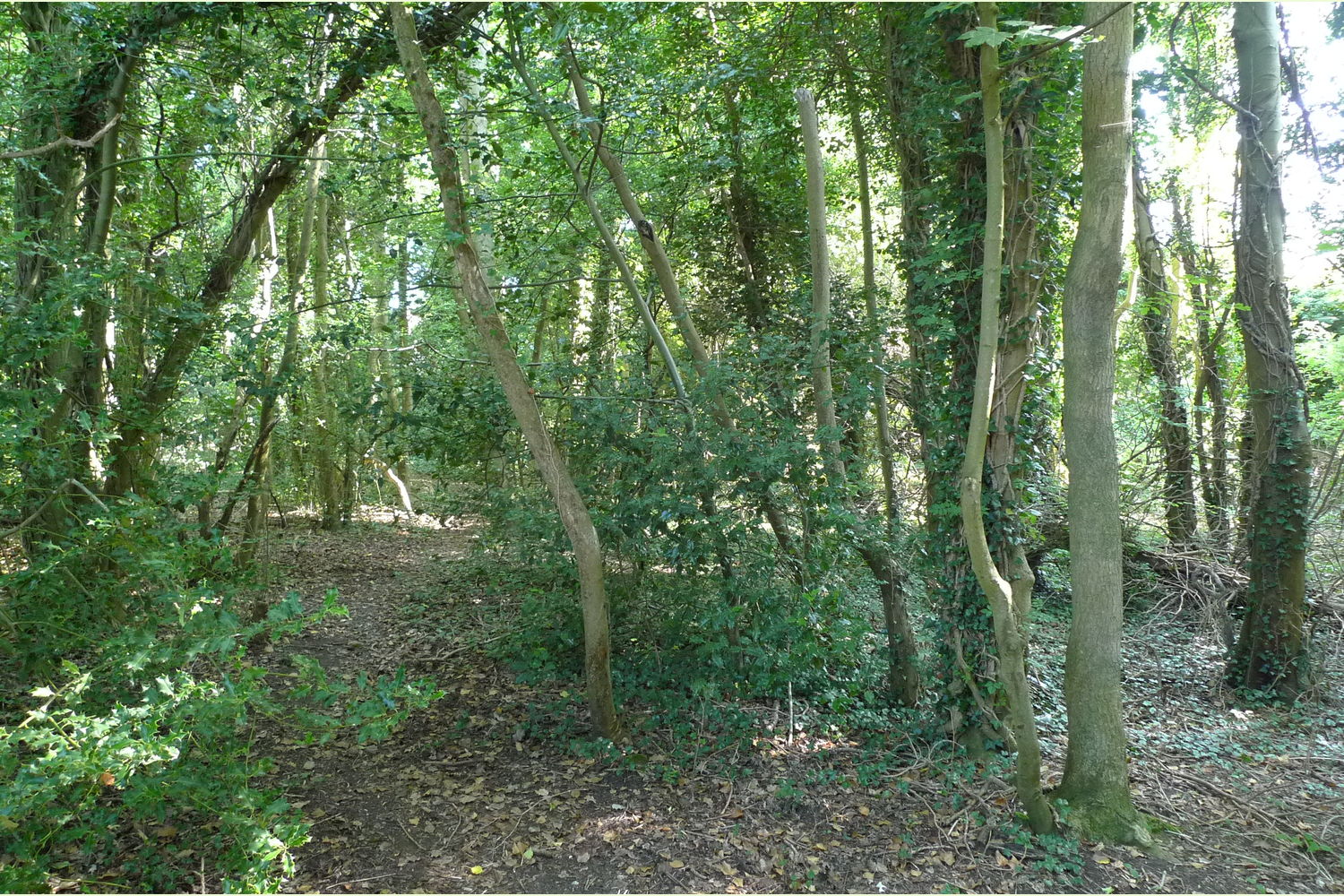
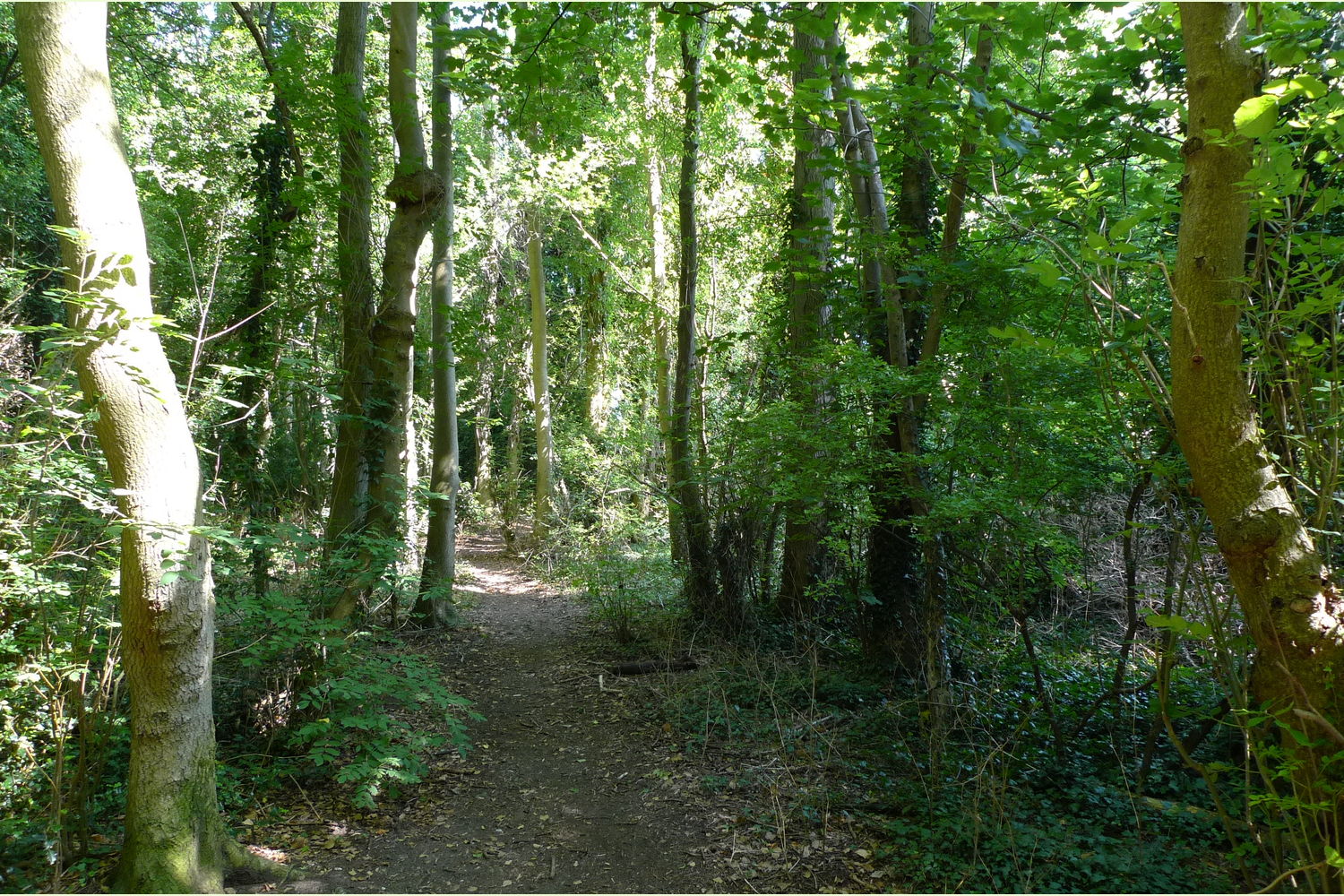
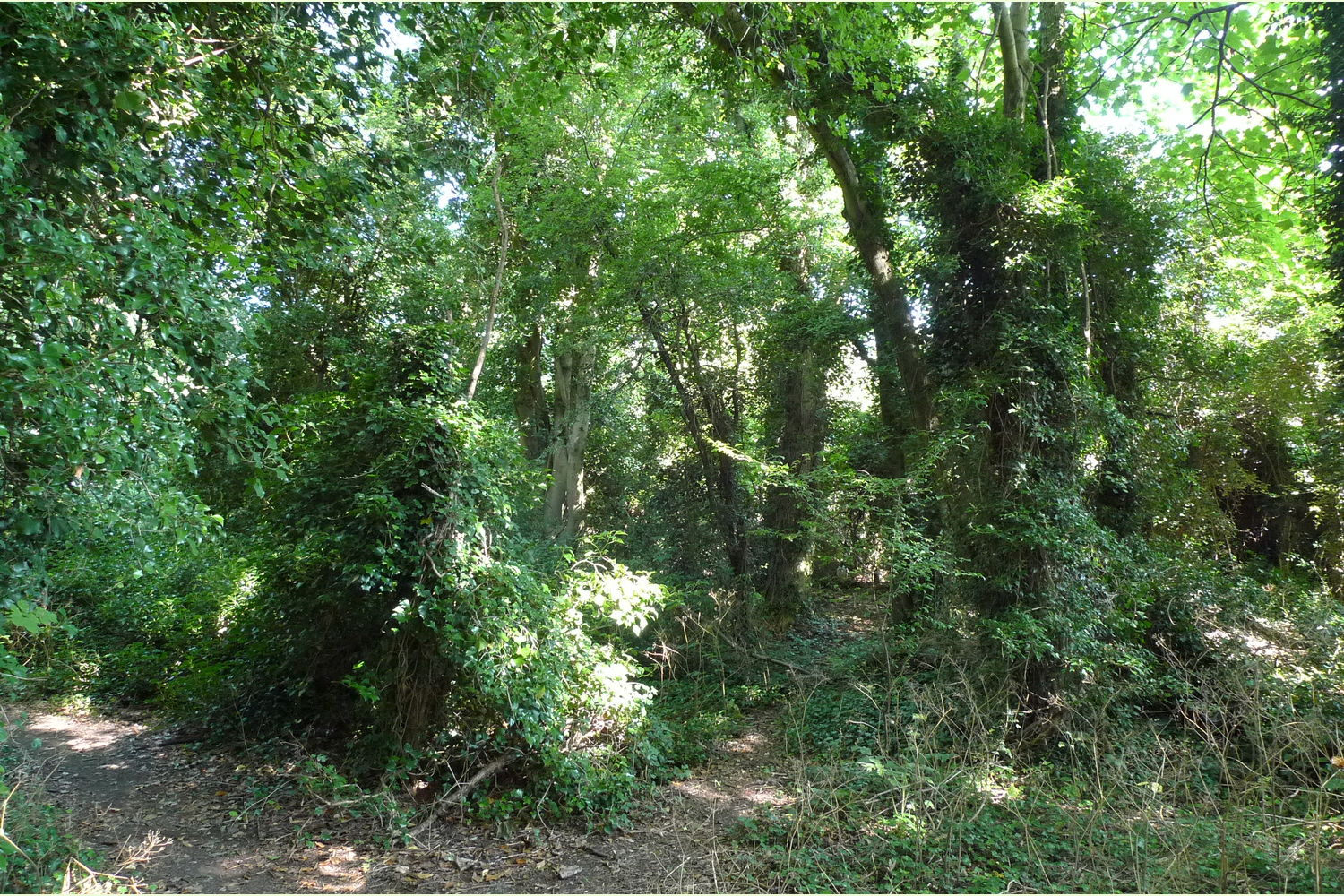
Woodland in the London suburbs of Surrey. East Mount woodland, located at the end of The Mount has mature ash and sycamore running alongside the bridleway and along the eastern side. To the south and west the wood is much younger the trees having grown in and colonised openground. It might be possible to make conservation glades in this area.
Woodmansterne translates roughly as, high wood pond, it is high here a plateaux on the North Downs and historically all would have been wooded and no doubt there were ponds. This is greenbelt so the surroundings are protected; it is in Reigate and Banstead District.
Boundaries:
- from the bollard along the edge of the bridleway as far as the single post,
- the backs of the houses
- two metres from the fence on the far side of the public footpath as far as the single post.
- excluded by the entrance, is an area measuring 20 metres x 45 metres, as shown on the plan.
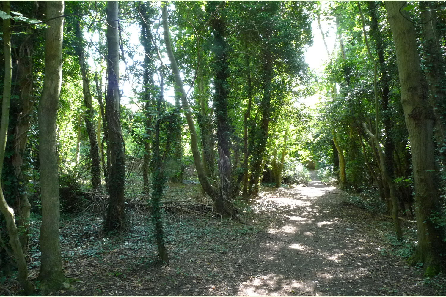
Access: a right of way is given for forestry purposes with the track maintenance according to use made from The Mount along the track as far as the single post.
Overage: as the woodland is in close proximity to residential properties in the event of planning permission being given for residential development the vendor will be due 50% of the uplift in value for a period of 10 years.
“The transfer to the buyer shall contain a covenant in the following terms: ‘the Transferee(s) and their successors in title the owners and occupiers for the time being of the property hereby covenant for the benefit of the Transferor’s Retained Land to forever maintain the property as woodland and open parkland and not to develop the Property or build any structures upon the Property whatsoever. For the avoidance of doubt this covenant shall not prevent the Transferee from erecting one appropriate timber clad building for use as a wet weather workman’s shelter and toolshed together with one open sided structure for the storage of timber or firewood upon the Property"
CLICK HERE for better quality maps to print out.
Viewing: You are welcome to visit this wood by yourself, but please ensure that you have a copy of these sales details with you - many of our woodlands do not have mobile phone reception or internet access so we recommend either printing the details or downloading them to your phone/tablet/laptop. Please take care when viewing as the great outdoors can contain unexpected hazards and woodlands are no exception.
Maps are : © Crown copyright and database rights 2020 OS Licence no.100057987
Our Maps (Click on a map to see a large version)
Our Maps
Directions
East Mount woodland, between Purley and Banstead is within the M25 in North Surrey.
Click here for Bing Maps Directions enter your own postcode and click on the "Go" box.
Use these coordinates in your SAT NAV to get to the same place N51.324173, W0.158599
Nearest postcode is CR5 2PX as shown on the location maps.
These will take you to The Mount where the track and bridleway will be seen ahead, there is a woodland for sale sign. Park in the road walk down the track past the removable bollards - the owner will have keys for these. East Mount woodland is on the left.
Please note: the particulars with plans, maps, descriptions and measurements are for reference only and although carefully checked we cannot guarantee their accuracy and do not form part of any contract. Any intending purchasers must satisfy themselves by inspection or otherwise as to the correctness of these particulars.