Furzeland Copse - Sold
Details for this wood
Guide price: £120,000 - Freehold
Size: About 9 acres
Location: Okewood Hill, near Horsham, West Sussex
OS Landranger: 187
Grid ref: TQ 129 354
Nearest post code: RH5 5QA
Contact: Ben Williamson
Phone: 07958 213 914
Email: [email protected]
Email to a friend
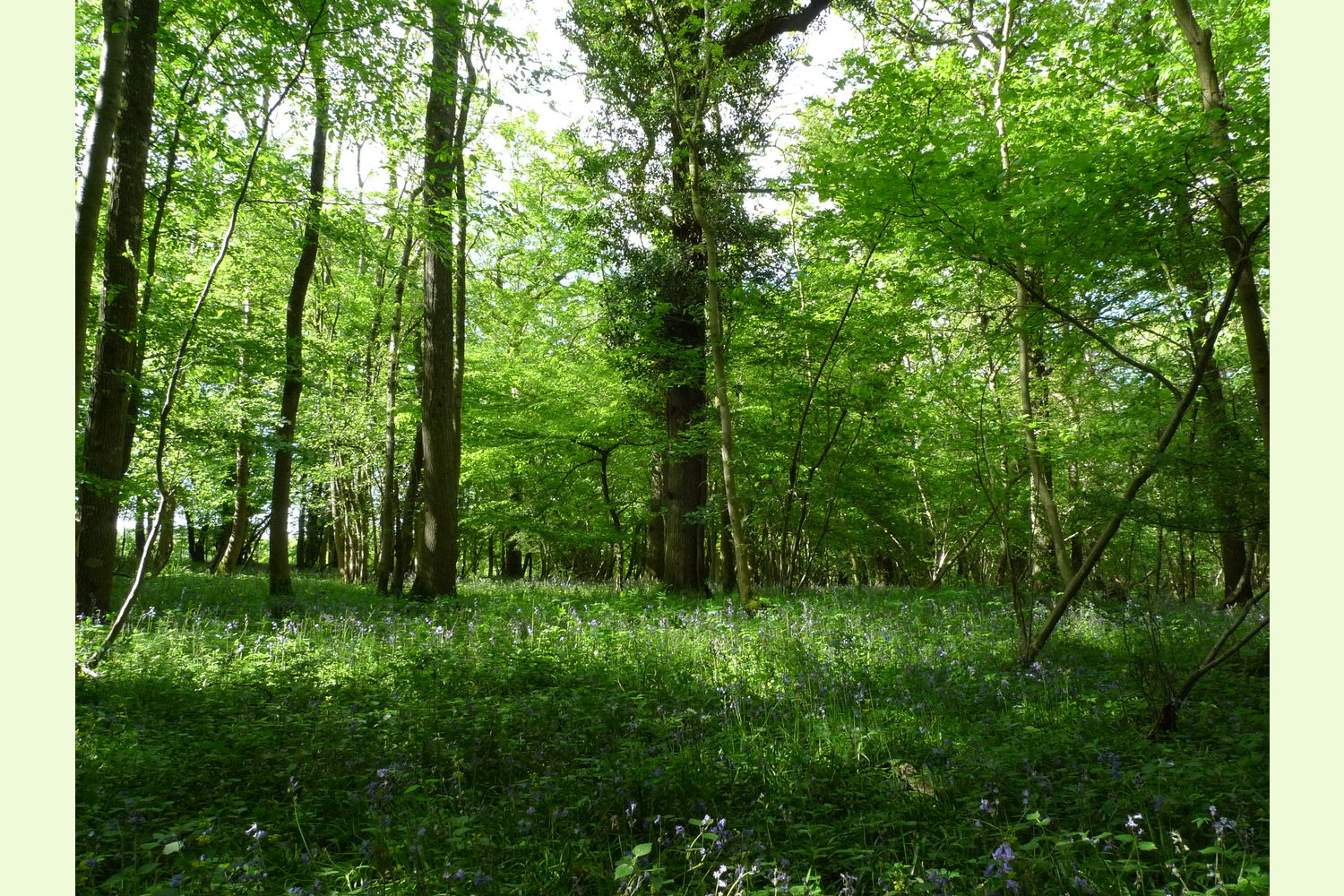
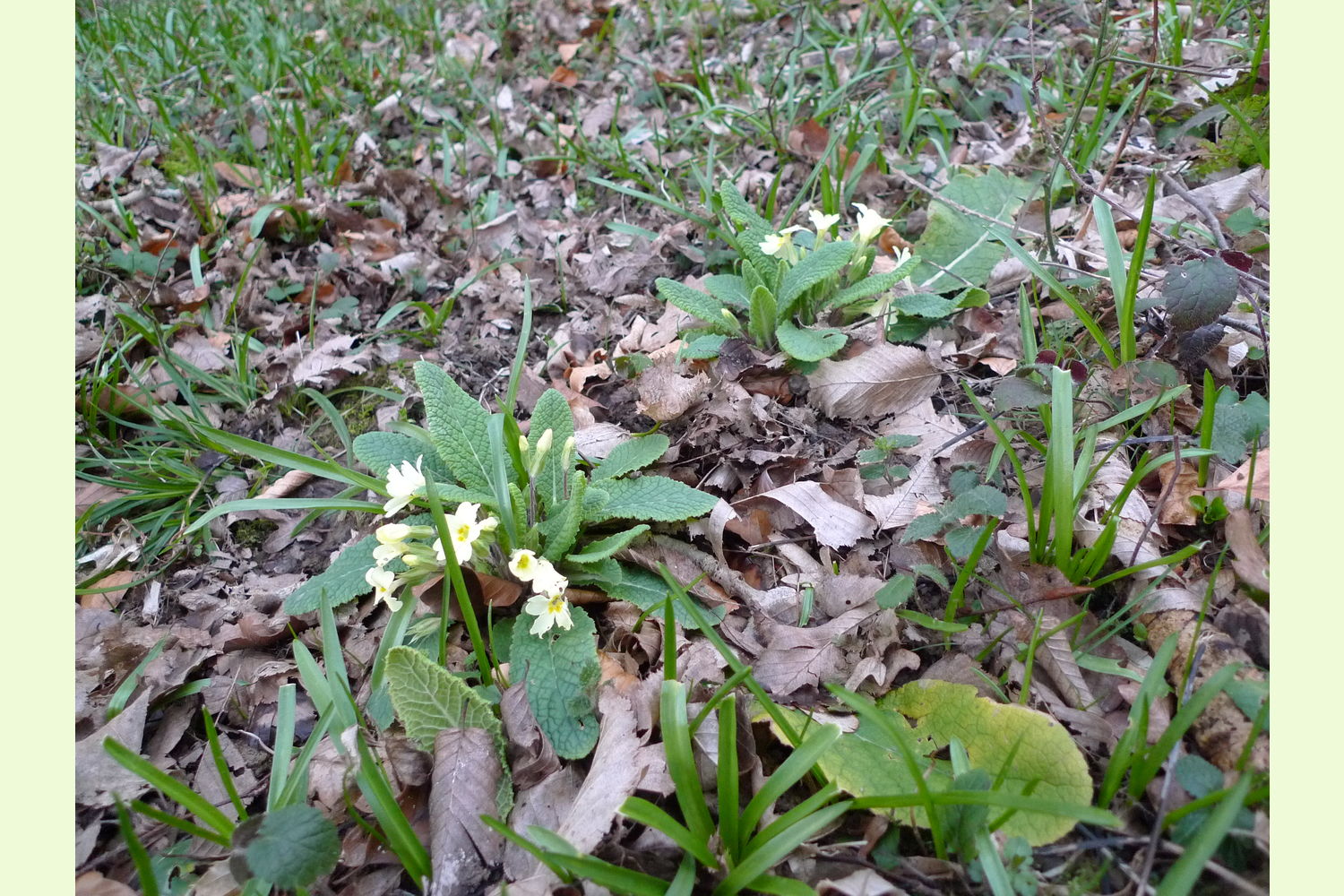
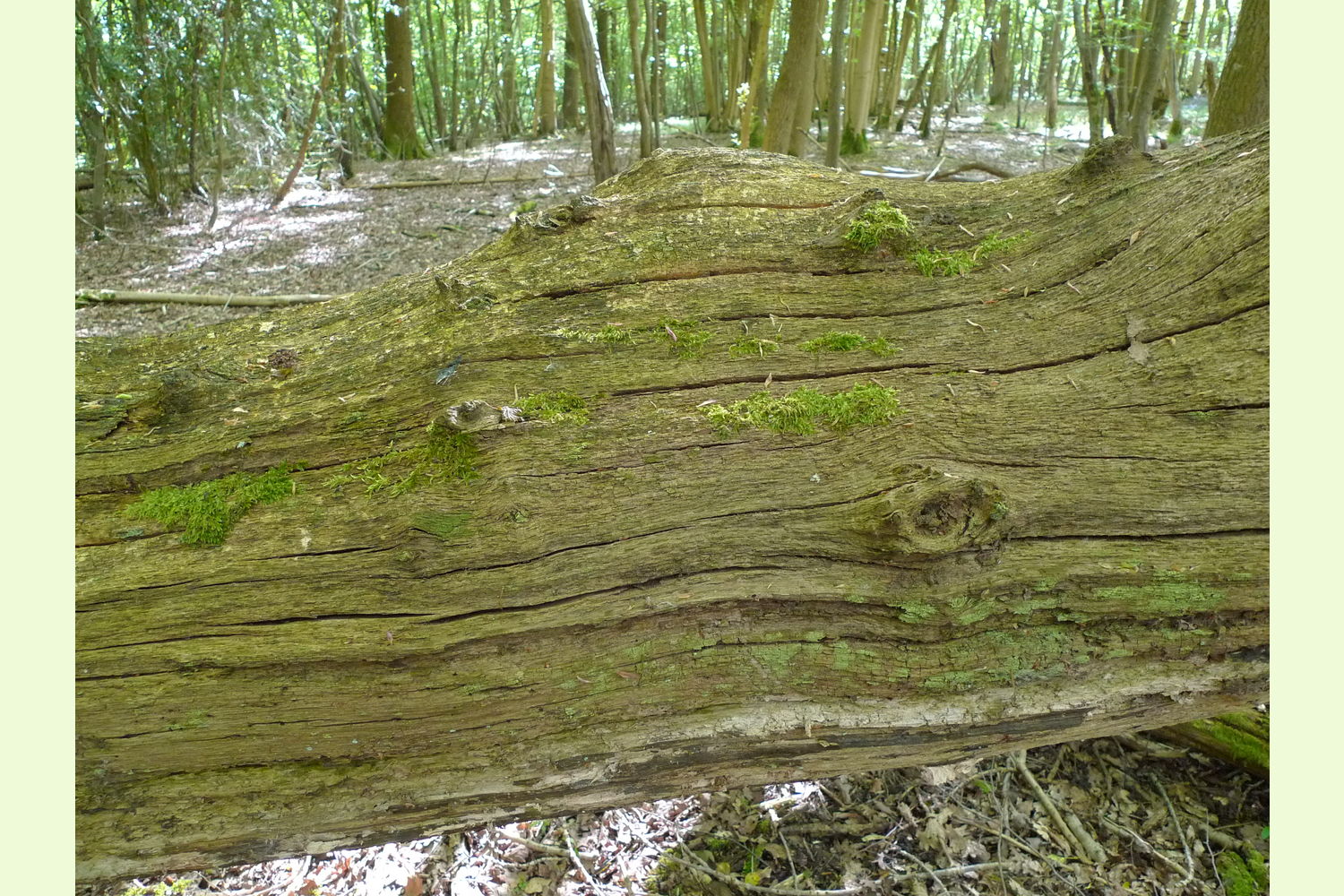
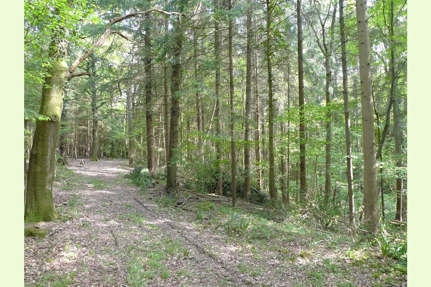
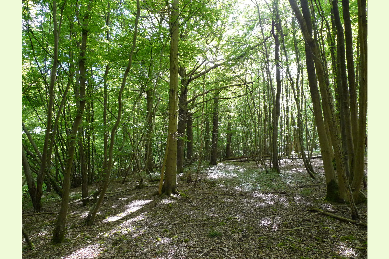
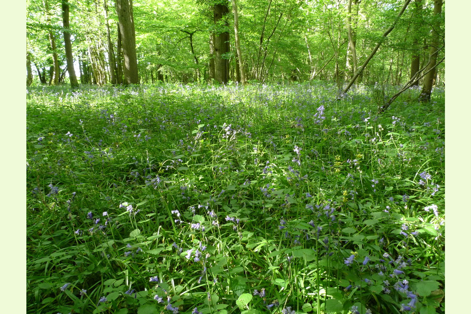
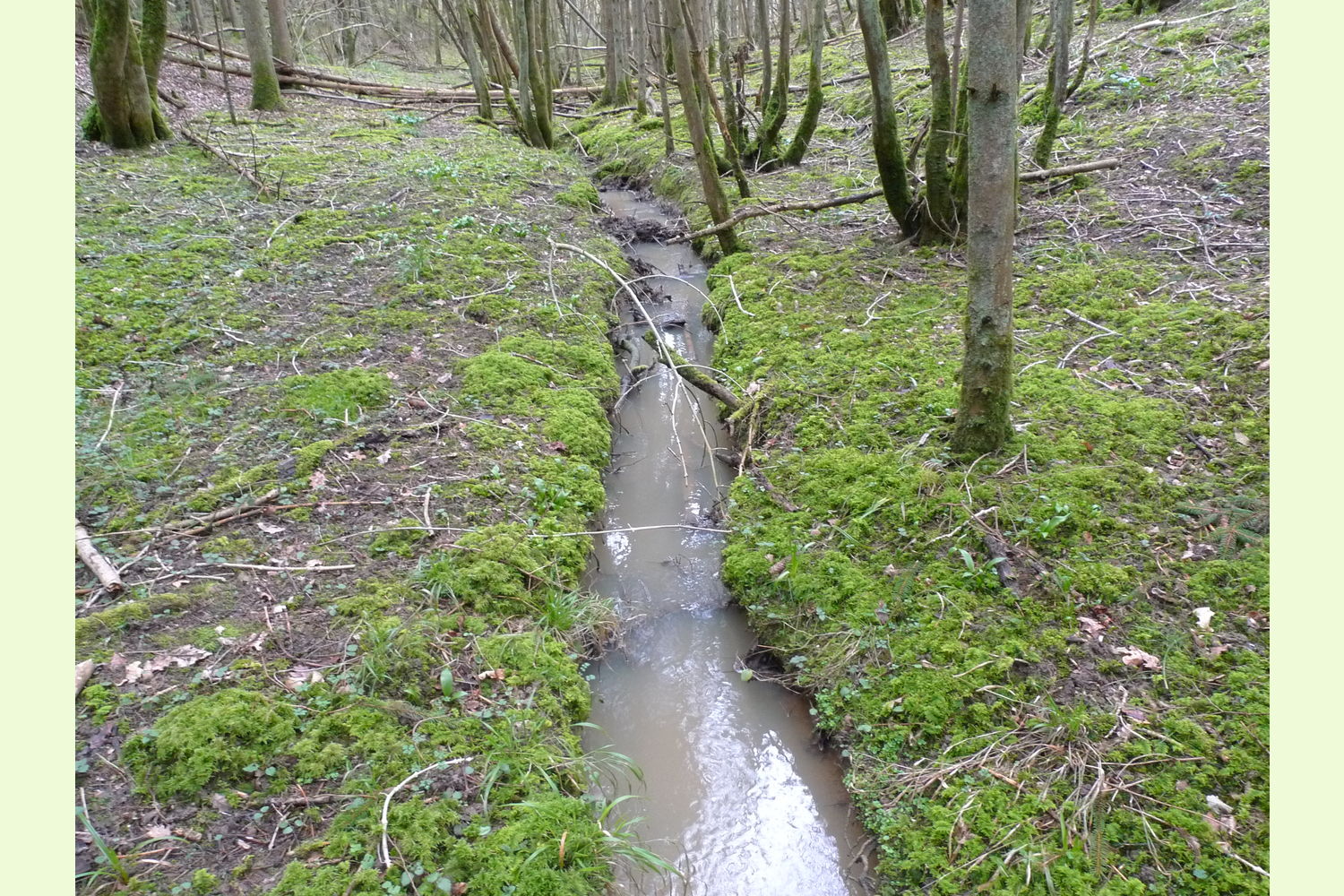
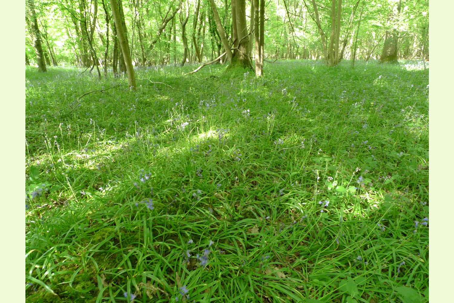
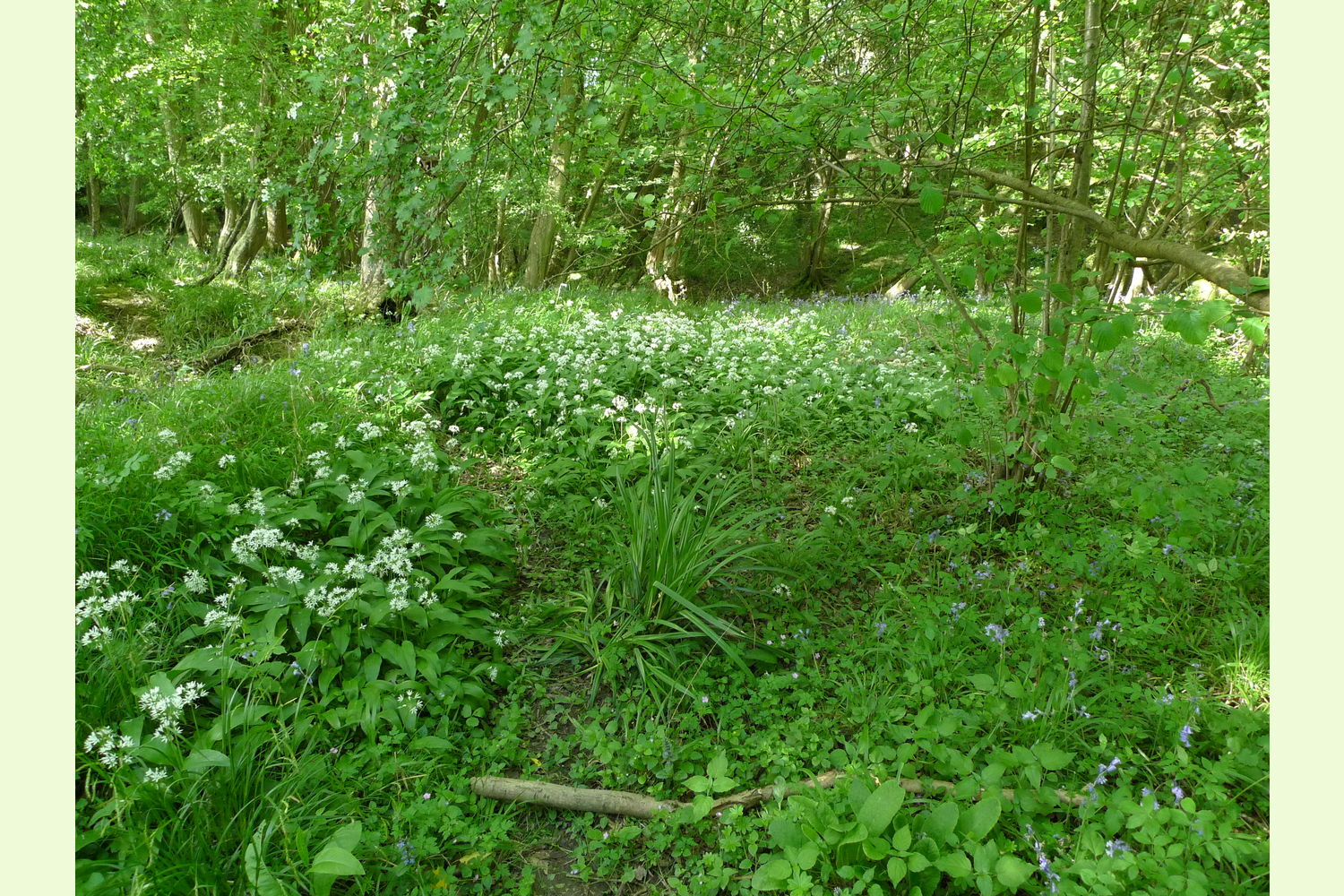
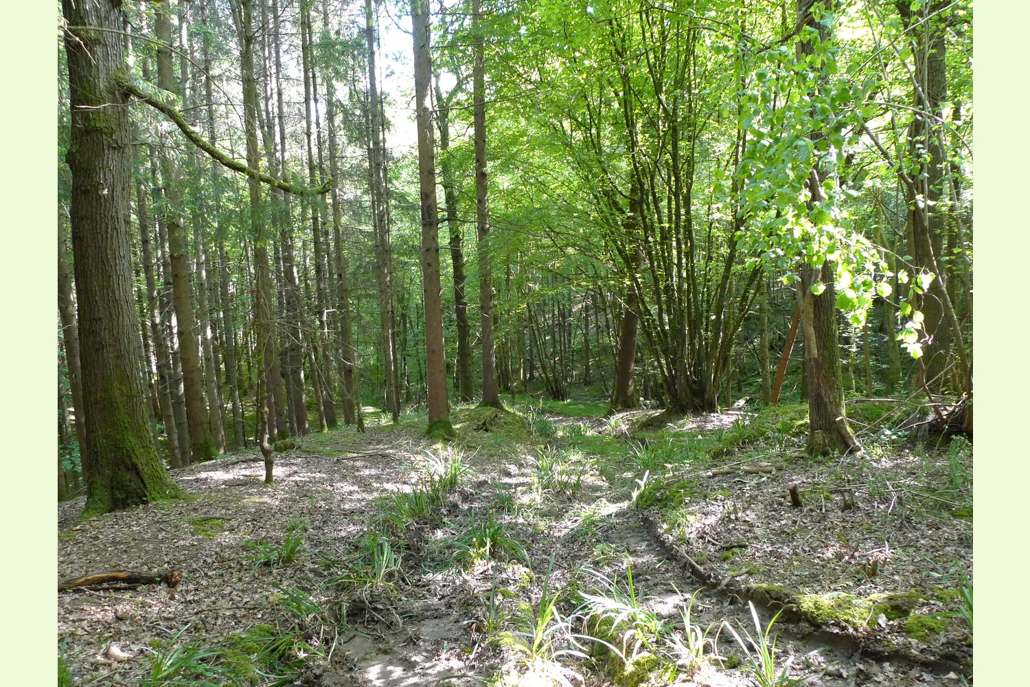
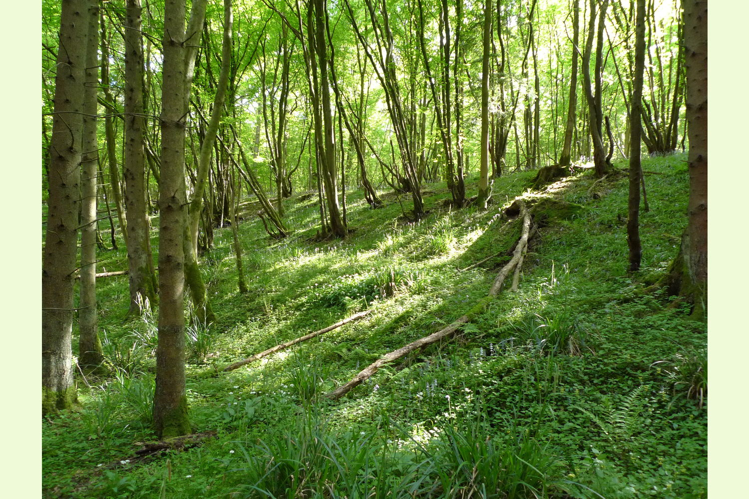
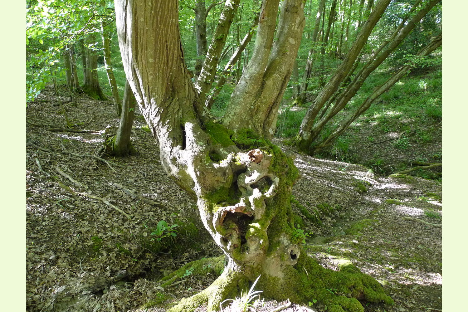
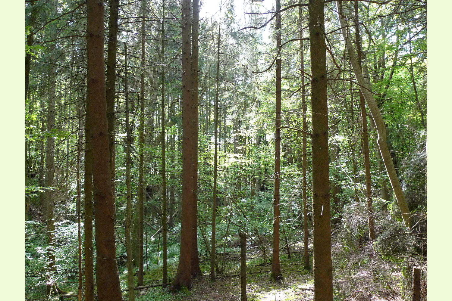
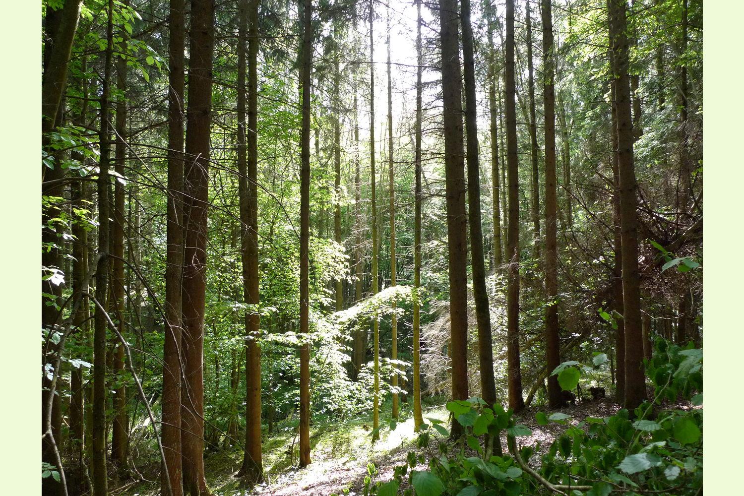
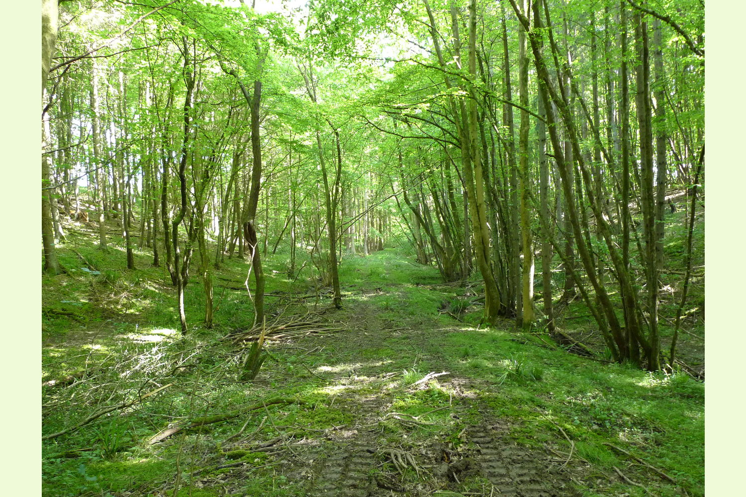
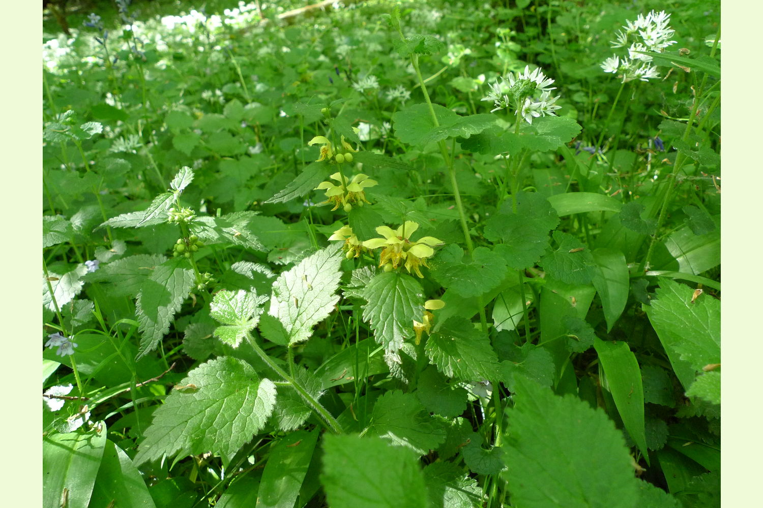
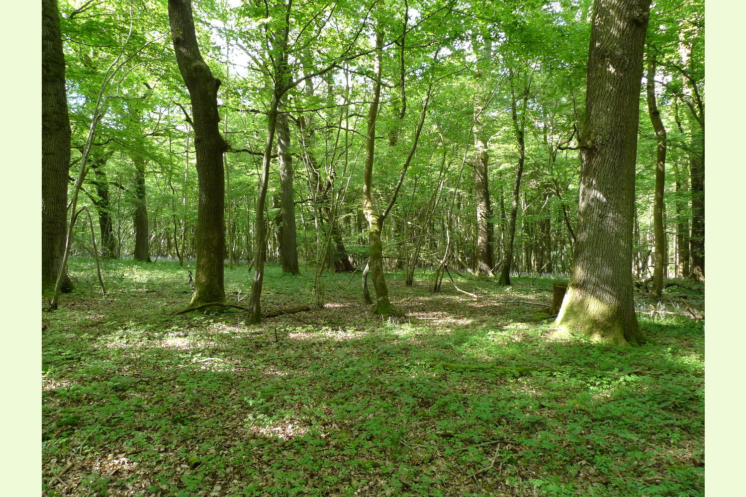
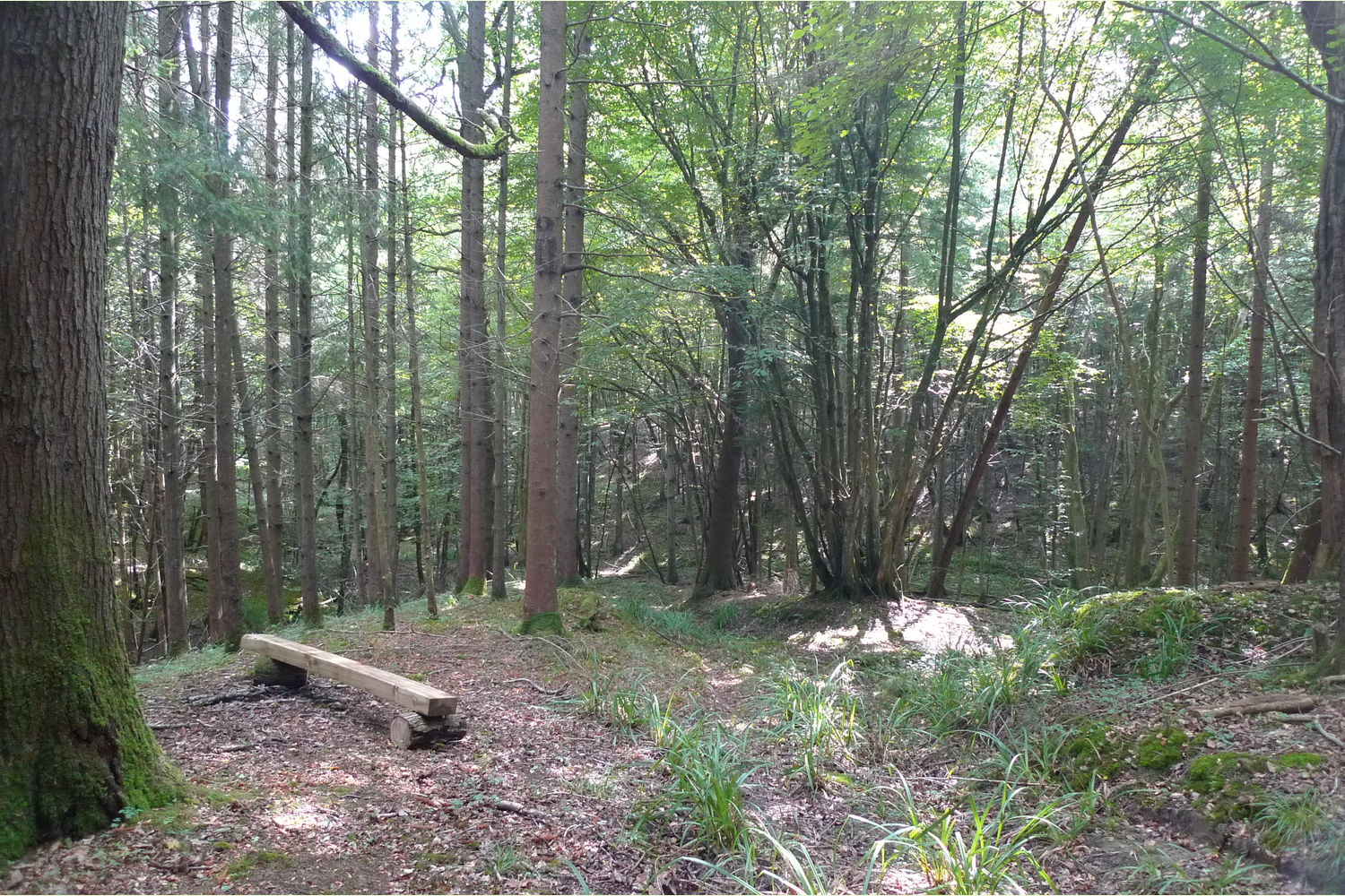
Description Mixed woodland set in strikingly beautiful hilly and wooded scenery, where streams flow through the entire length. One stream forms the southern boundary, the other flows in a small valley, both flow for most of the year although in a dry summer they may dry out. Both are perfect dam building and for children to wade in. Another smaller stream flows southwards and joins the other two on the south eastern boundary. Fronting the wood is a spruce plantation, these have grown well and and could be a source of really useful timber. To the rear are oak and hazel where the bluebells are especially vibrant.
The route of Stane Street, the Roman road leading from Chichester to London passes by the western side of the woodland. Roman roads were engineered with a stone base and surfacing, hence Stane (= stone) Street. Who knows, there may be evidence of the road beneath the surface soils.
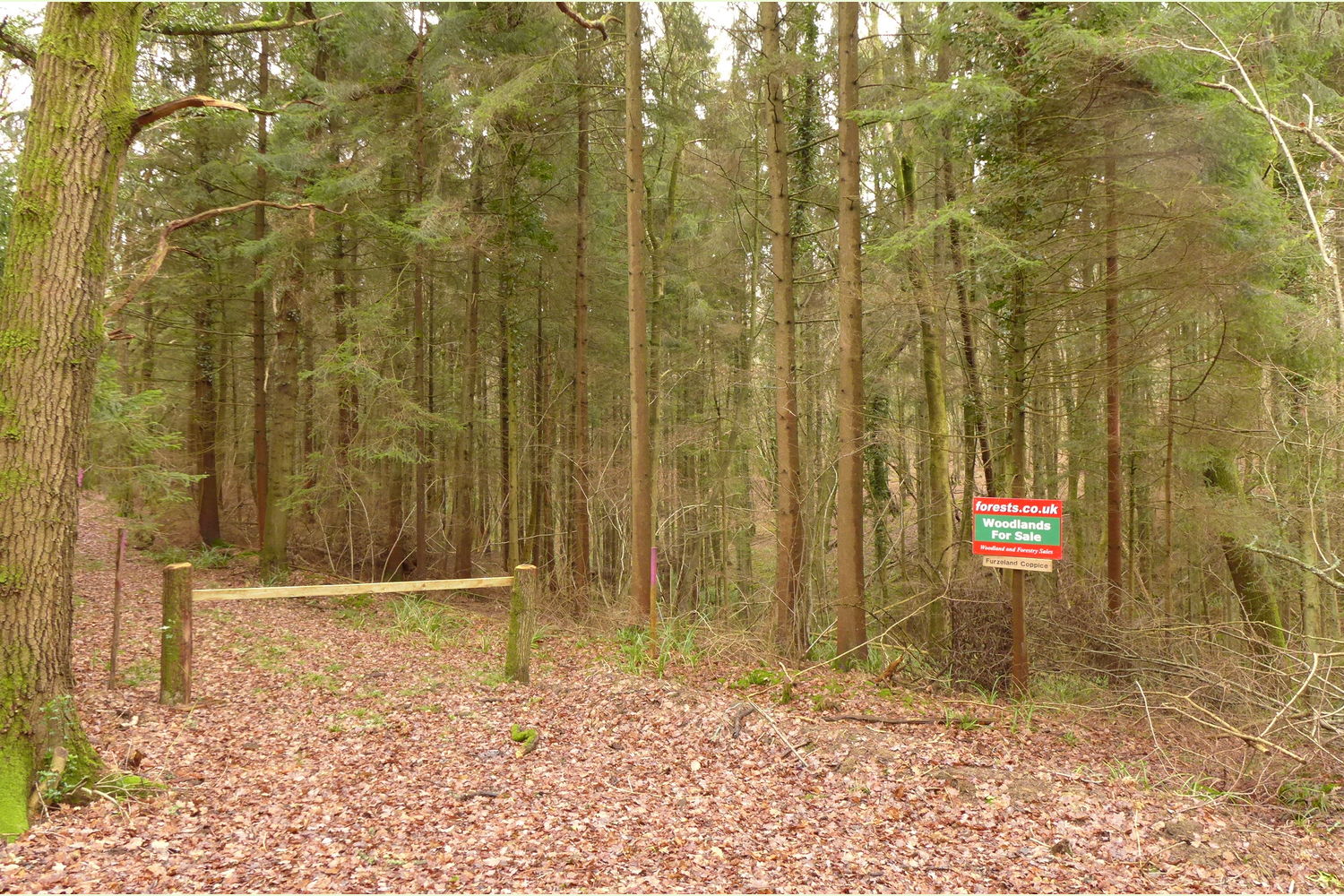
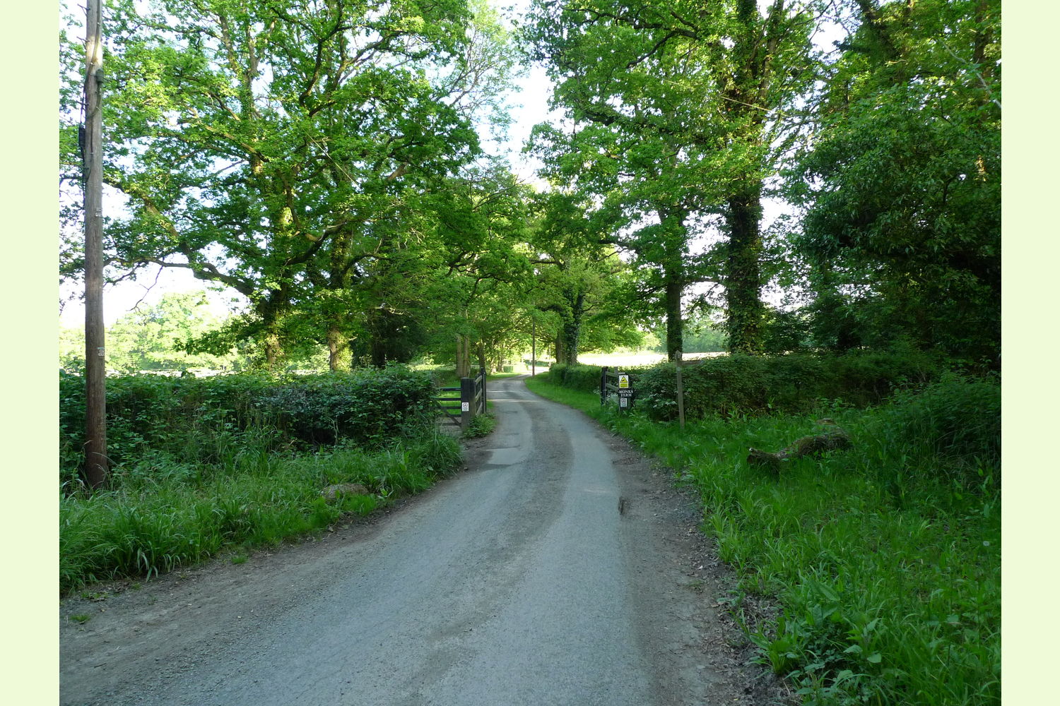
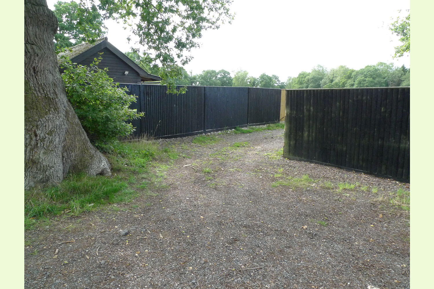
Access Is off Honeywood Lane - a public road, along a private track (Monks Lane) leading to Monks Farm and stables. An electrically operated gate keeps access to the private owners of the house, the stables and the woods. The entrance to the woods is past the barns then between the close boarded fencing, see photo, along another private track. Keep the fencing on the left. There are full rights of way along this route with maintenance contribution according to use made.
Boundaries These are shown by mauve markings and are: north the left side of the track where there are free-standing posts, this line continues as a line of posts down the slope and across the minor stream then up to the filed boundary. East side is the field boundary which continues as a line of posts heading south. Southern boundary is the centre of the stream. To the west there is a shallow bank topped with free-standing posts, these cross the stream and continue up the valleyside
Covenant The purchasers of this woodland will be asked to enter into a covenant to ensure the quiet and peaceful enjoyment of adjoining woodlands and meadows.
Viewing Is strictly by appointment with the selling agent, Richard Scholfield - [email protected] or 07811 818277
Maps For full-scale maps click HERE and print out for your visit. The Ordnance Survey's very useful open source maps can be accessed HERE.
Please note, none of these woods are suitable for residential development, other uses such as summer camping may well be suitable.
Maps are : © Crown copyright and database rights 2020 OS Licence no.100057987
Our Maps (Click on a map to see a large version)

Our Maps
Directions
Furzeland Coppice is just south of the small hamlet of Okewood Hill, some 7 miles north west of Horsham.
Click here for Bing Maps Directions enter your own postcode, the coordinates for parking are already entered.
For Satnav: the nearest postcode is RH5 5QA as shown by the red dot on the maps. Coordinates for your satnav are N51.114802, W0.390311
Viewing Is strictly by appointment with the selling agent, Richard Scholfield - [email protected] or 07811 818277.
Please note: the particulars with plans, maps, descriptions and measurements are for reference only and although carefully checked we cannot guarantee their accuracy and do not form part of any contract. Any intending purchasers must satisfy themselves by inspection or otherwise as to the correctness of these particulars.
We hereby give notice under section 21 of the Estate Agents Act 1979 of interest in the land being sold.