Allt Tanerdy, Carmarthenshire
Details for this wood
Guide price: £48,000 - Freehold
Size: 4⅔ acres
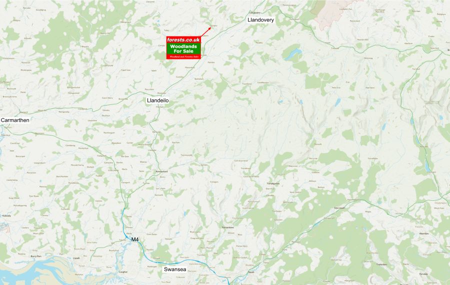
Location: Llanwrda, Llandovery, Carmarthenshire
OS Landranger: 146
Grid ref: SN707326
Nearest post code: SA19 8HY
Contact: Sandra Colley
Phone: 07769654392
Email: [email protected]
Email to a friend
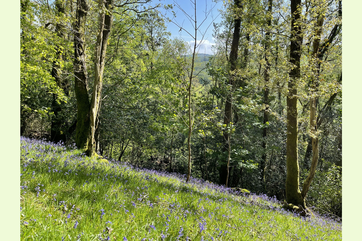
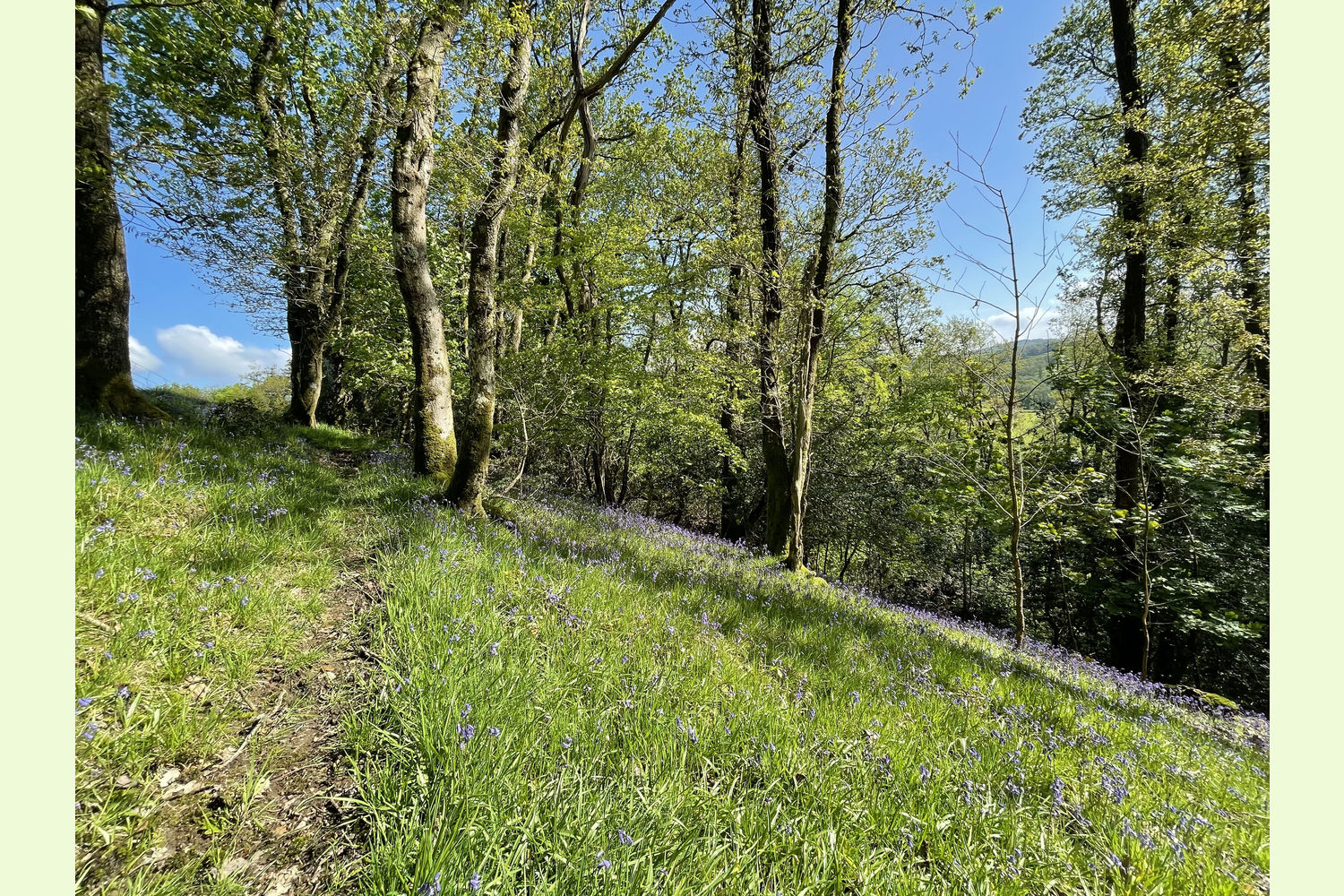
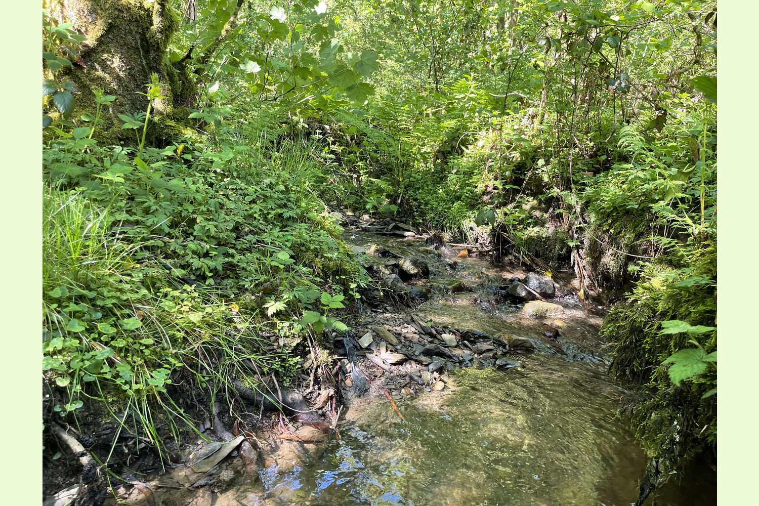
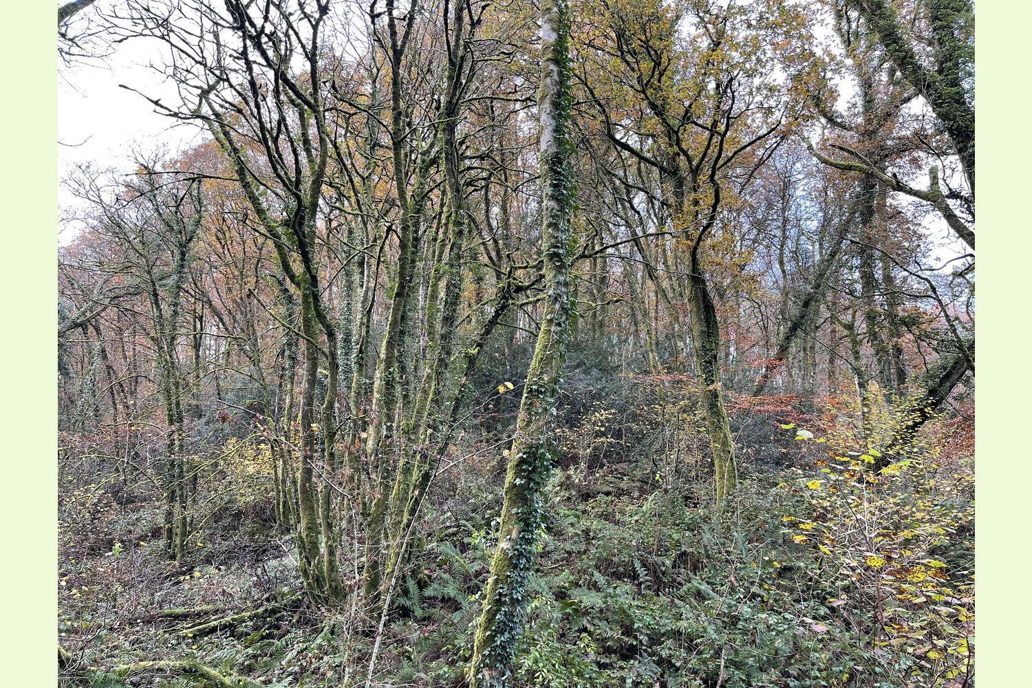
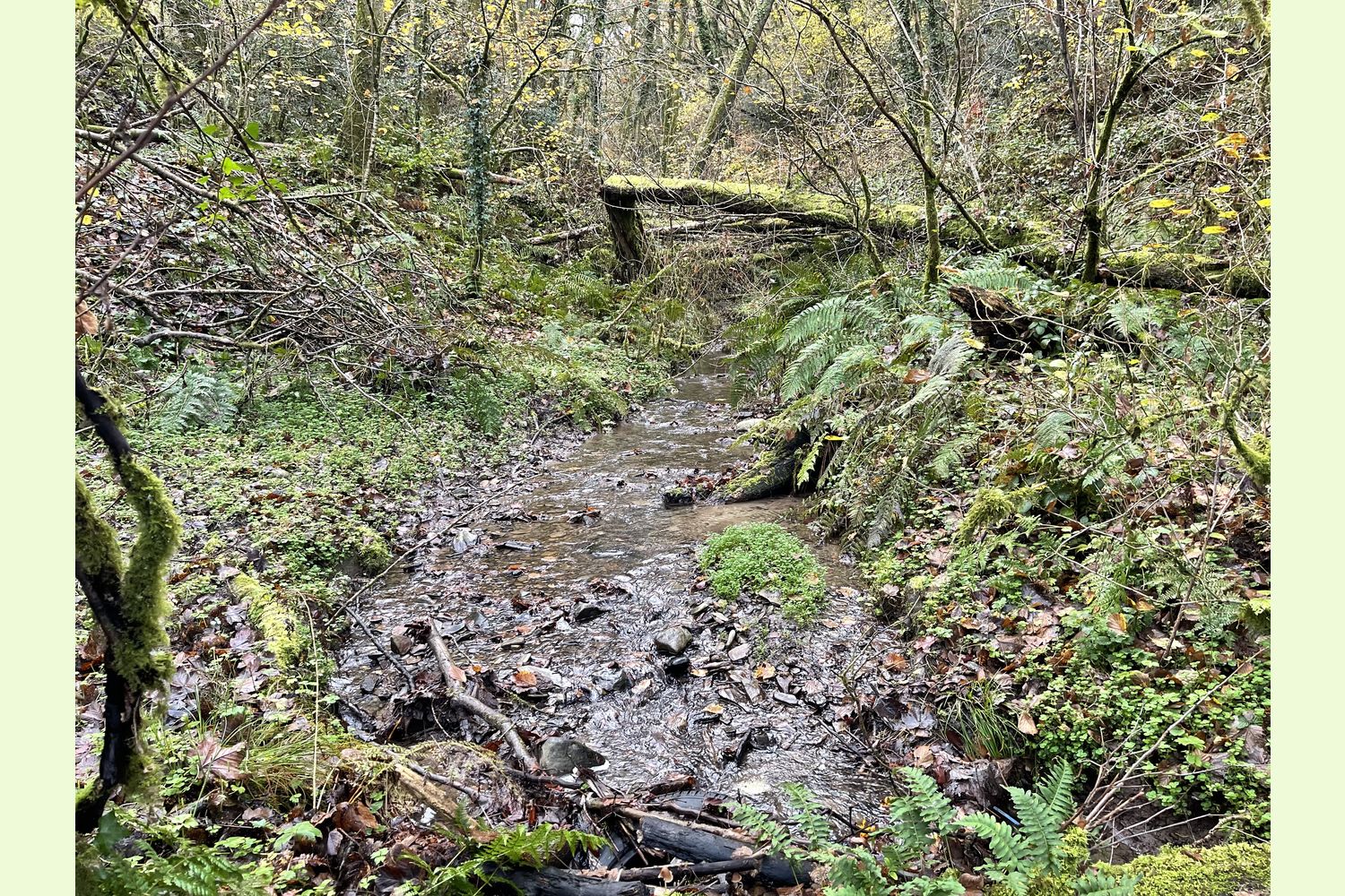
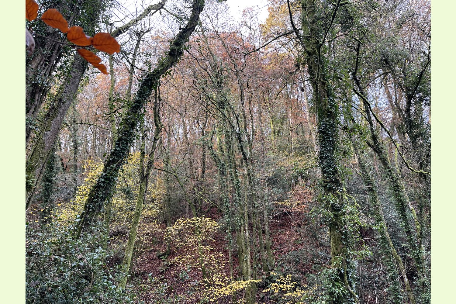
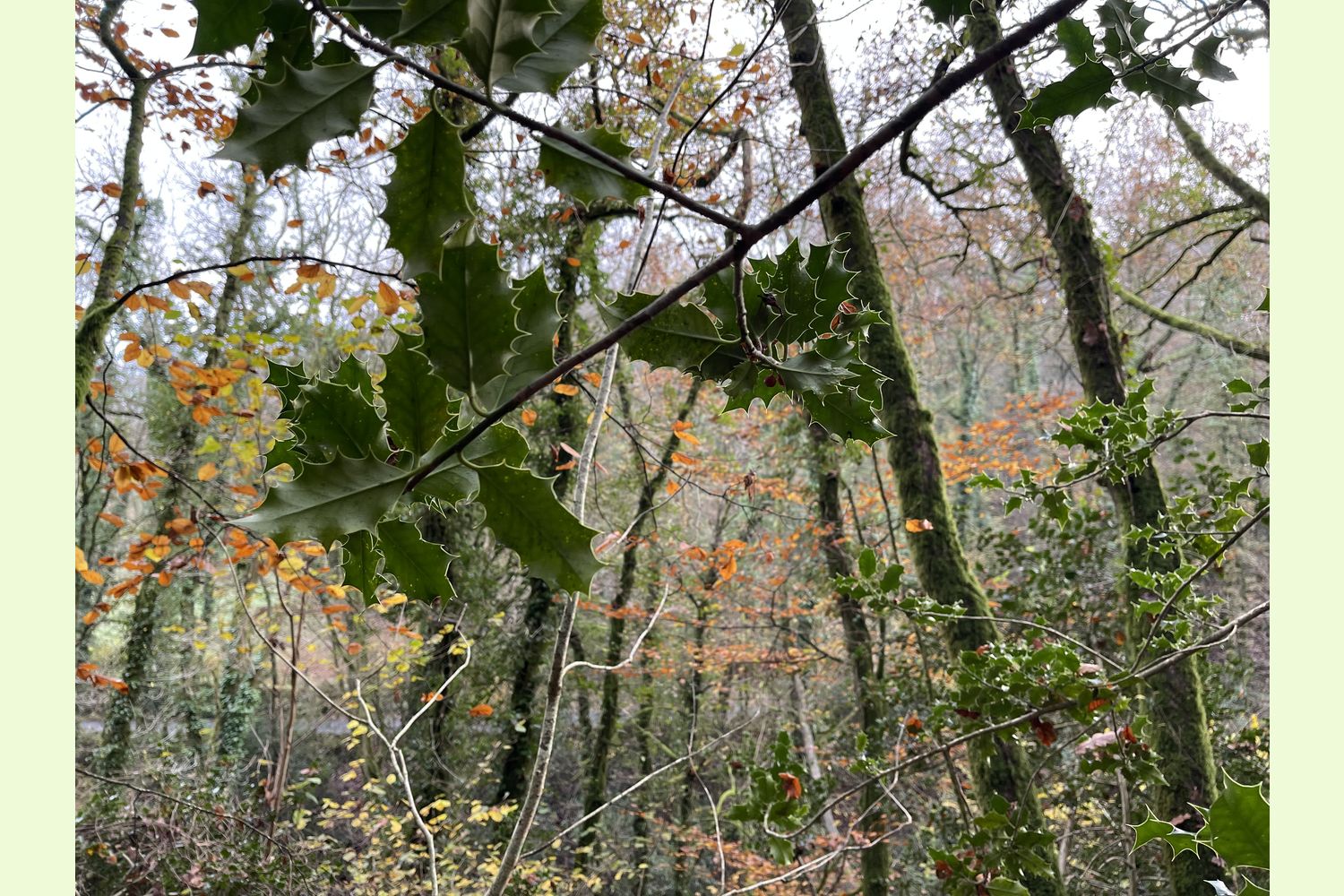
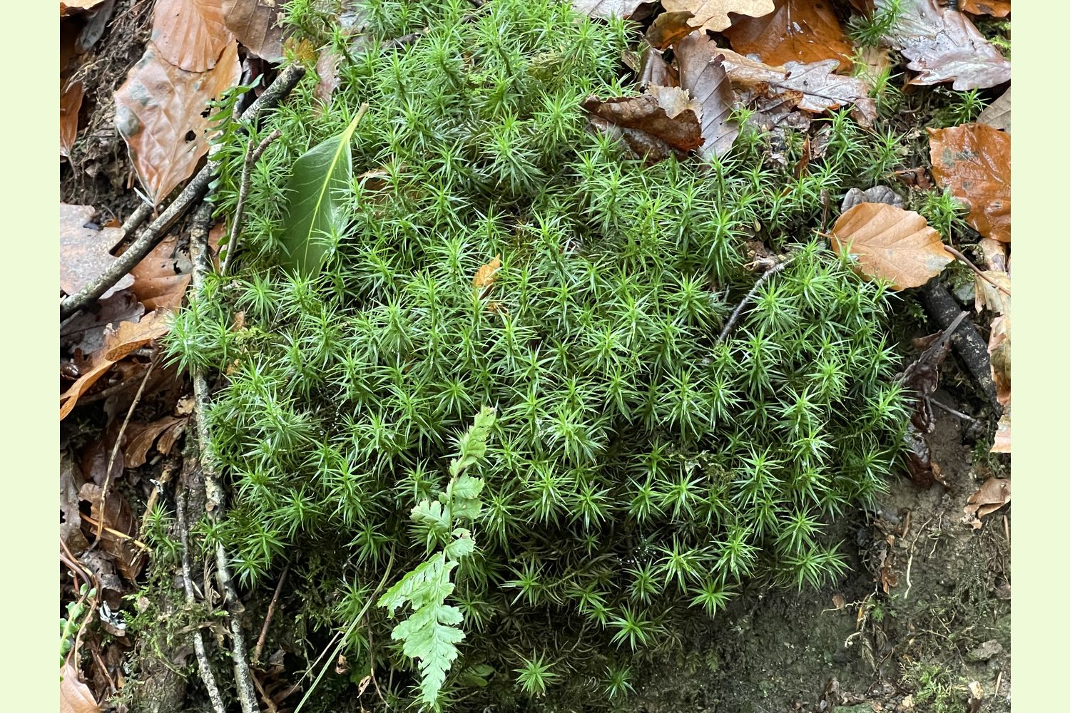
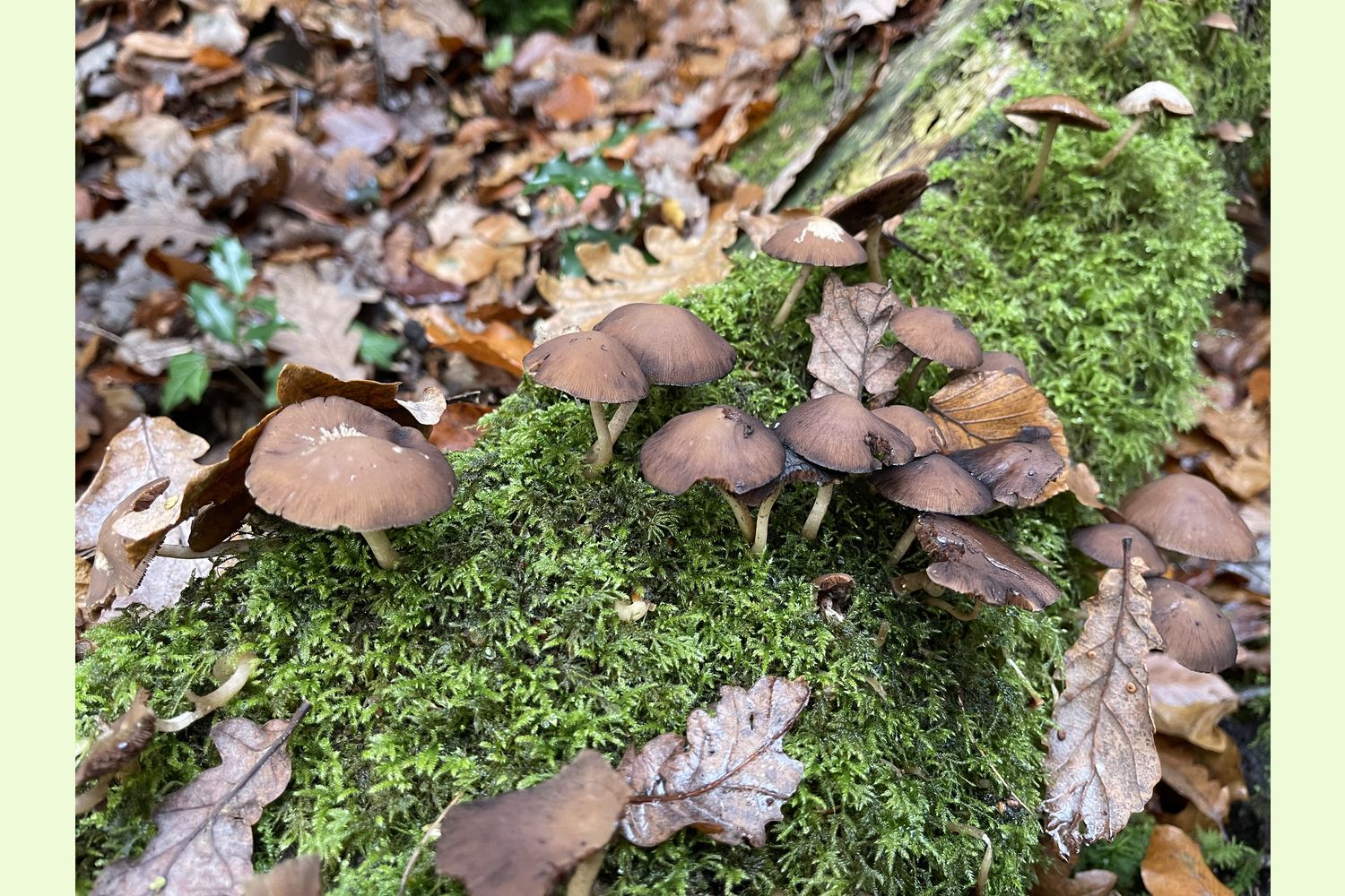
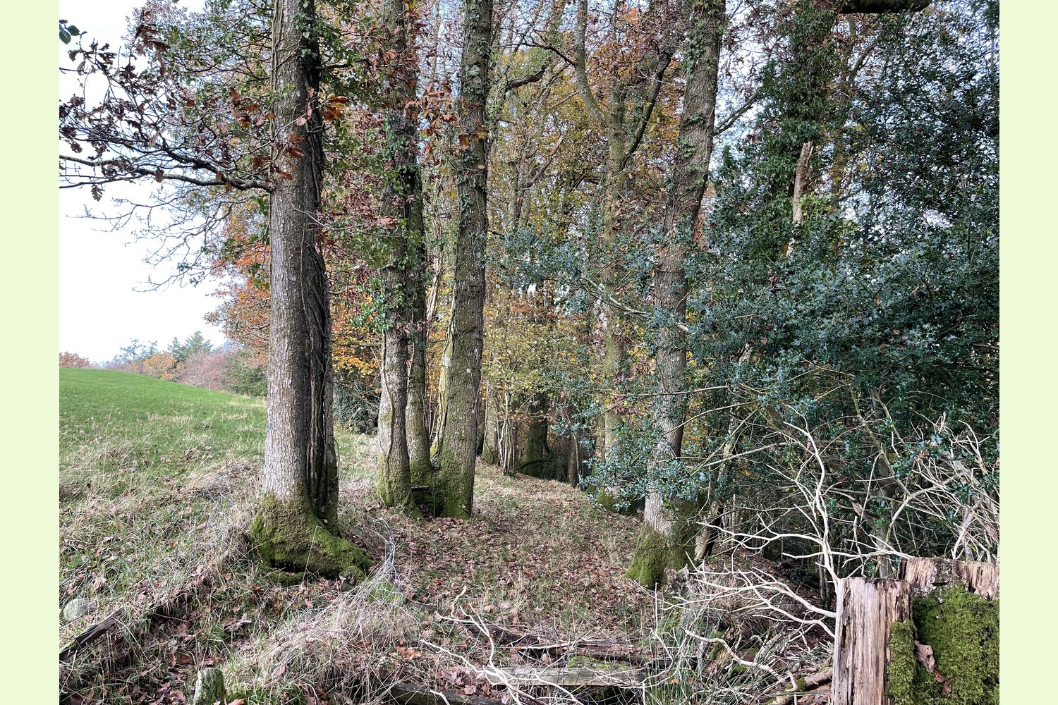
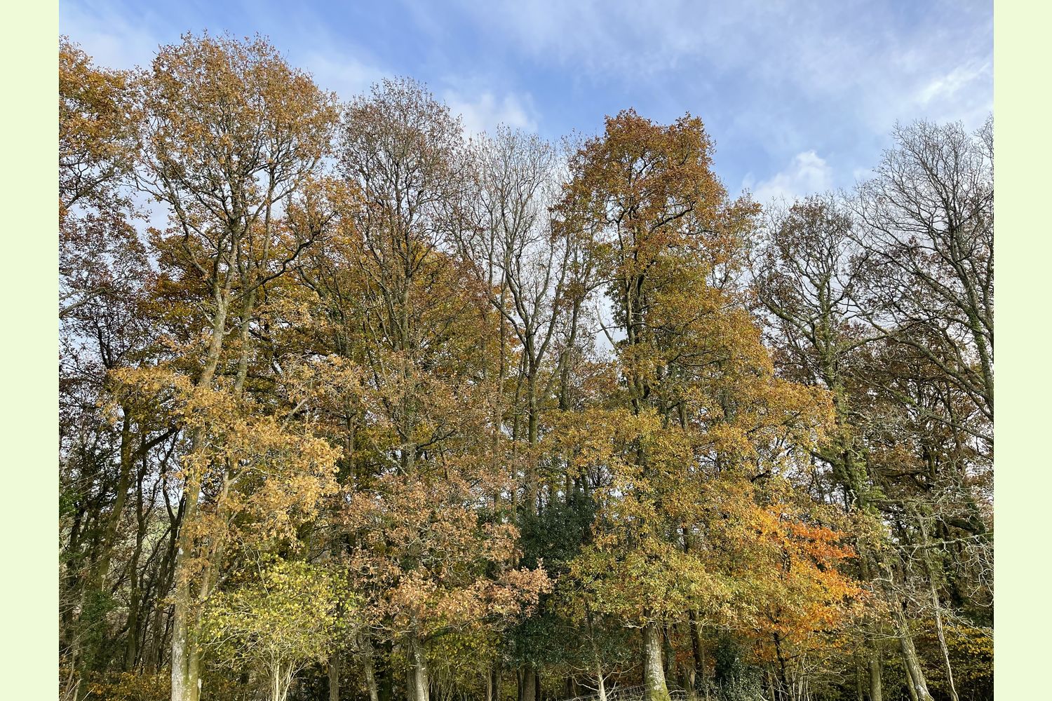
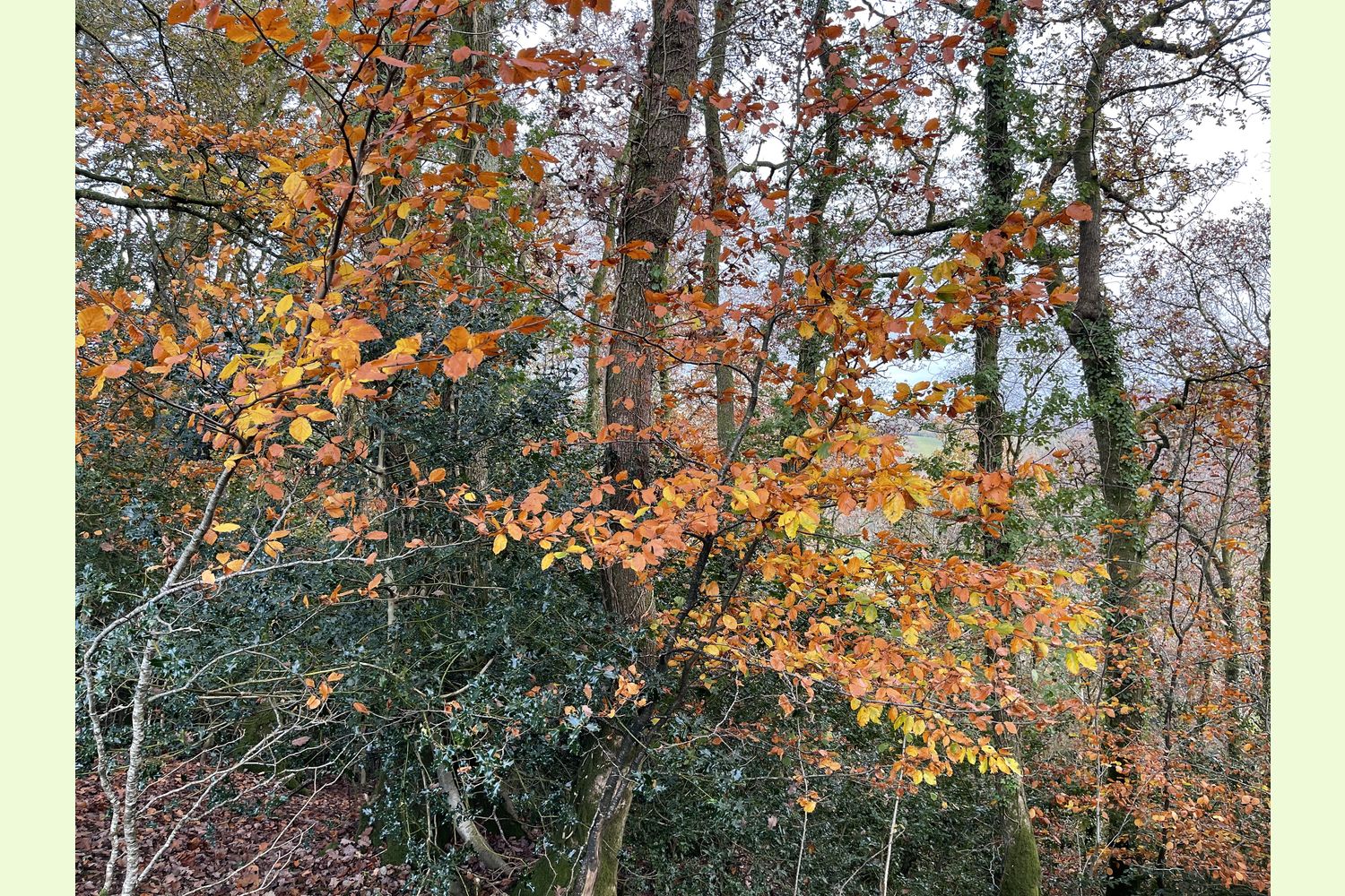
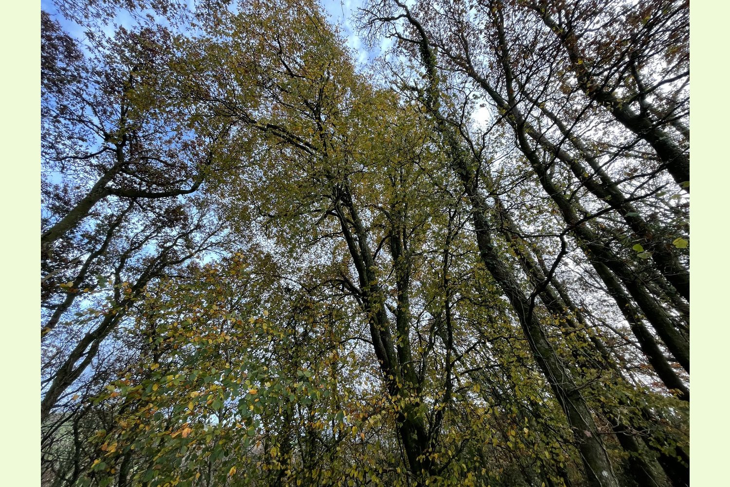
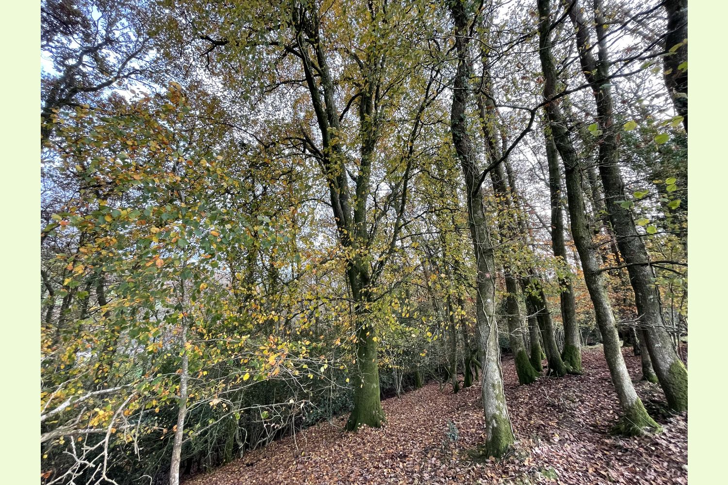
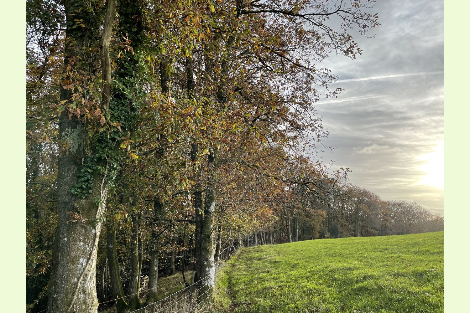
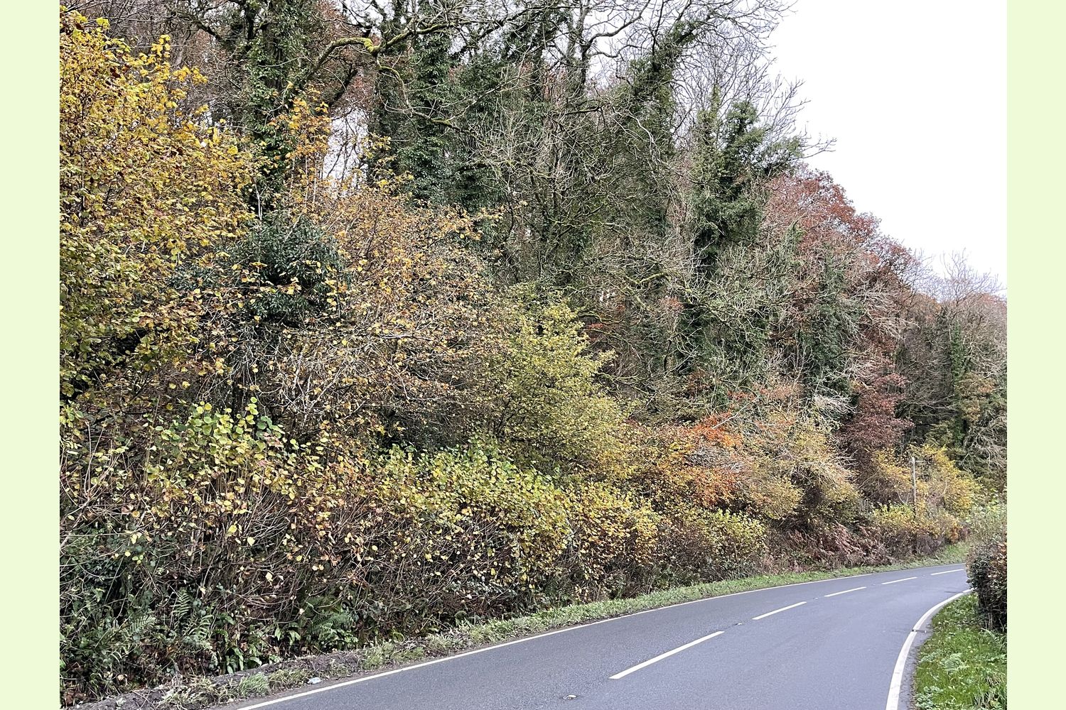
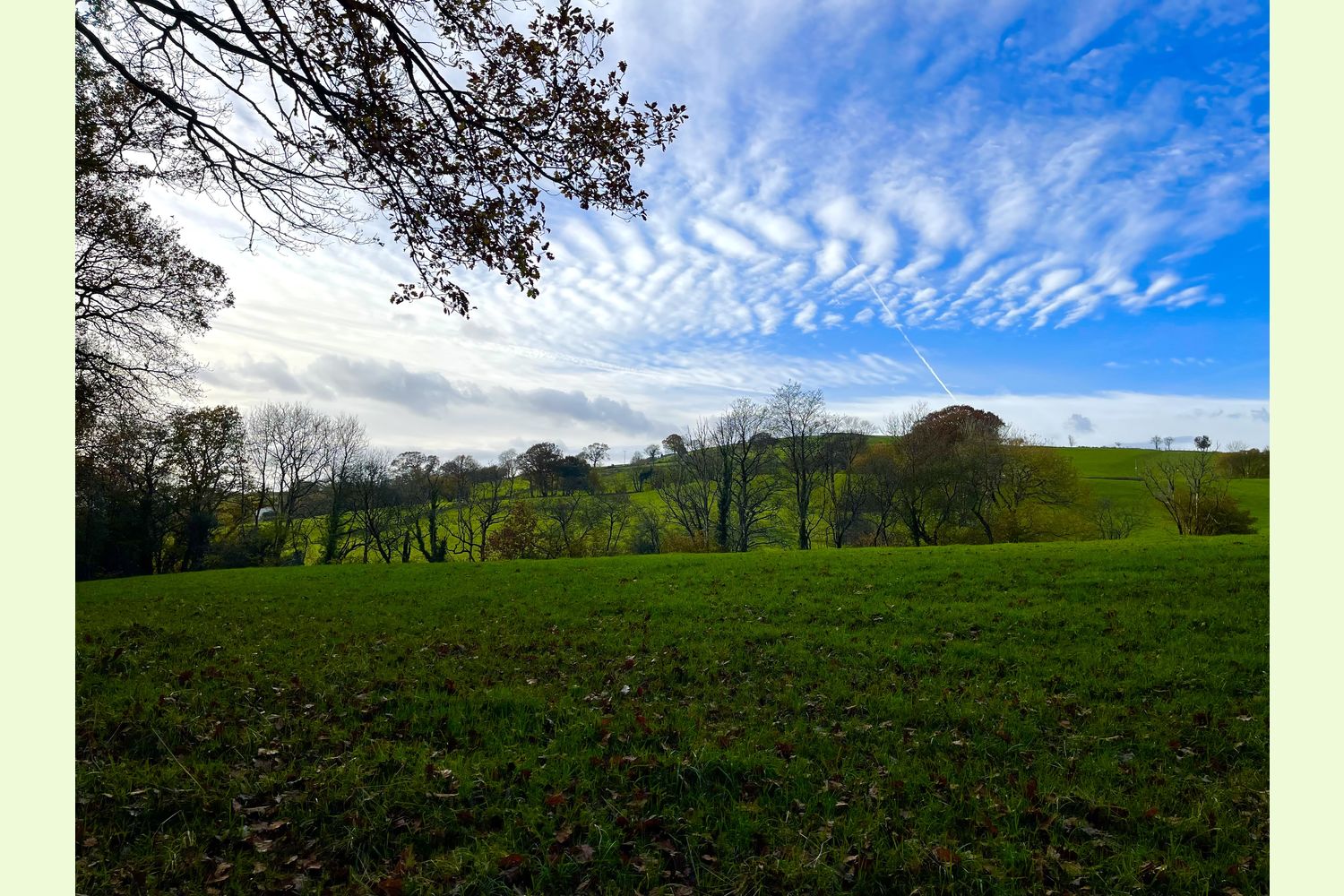
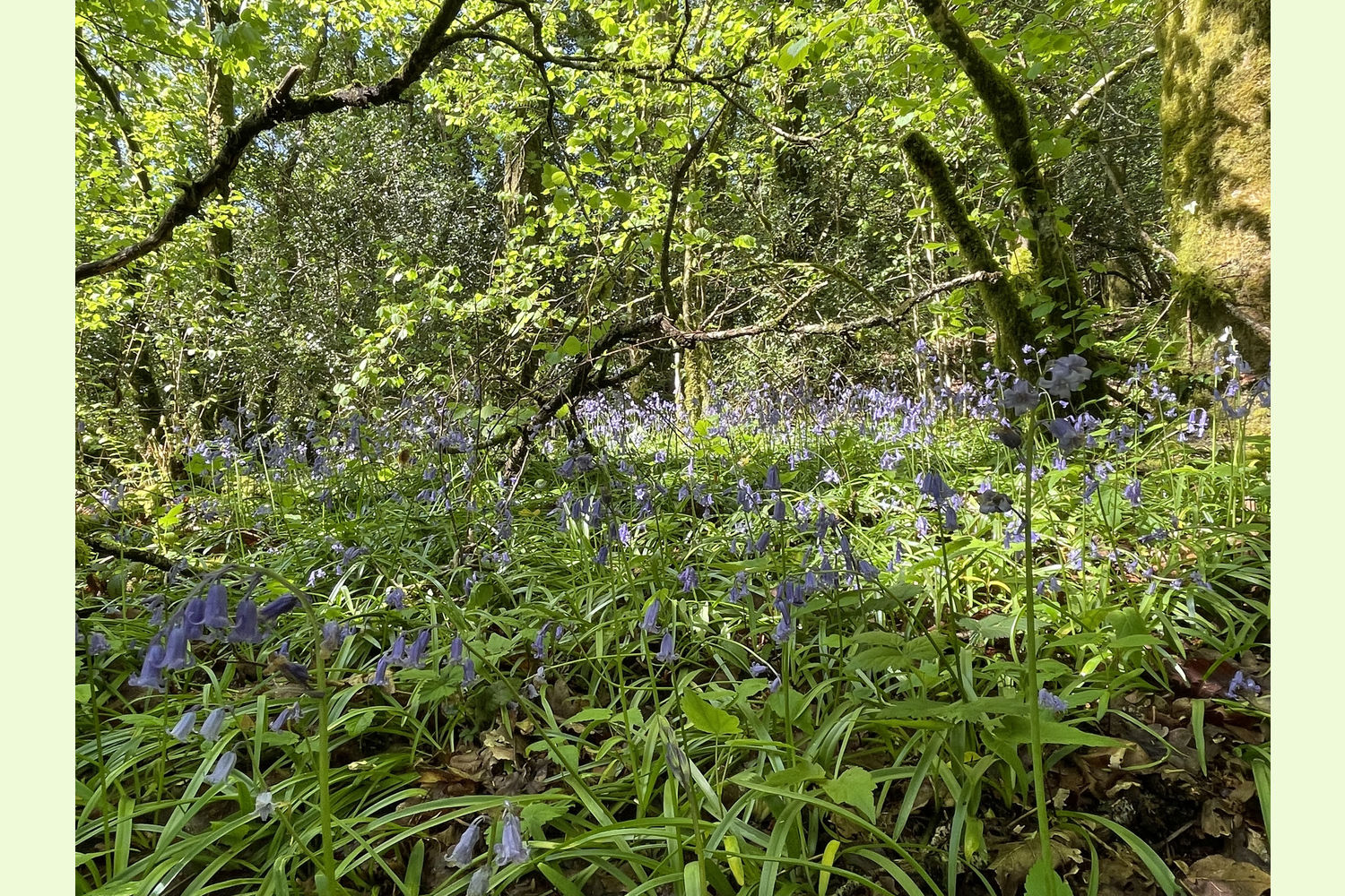
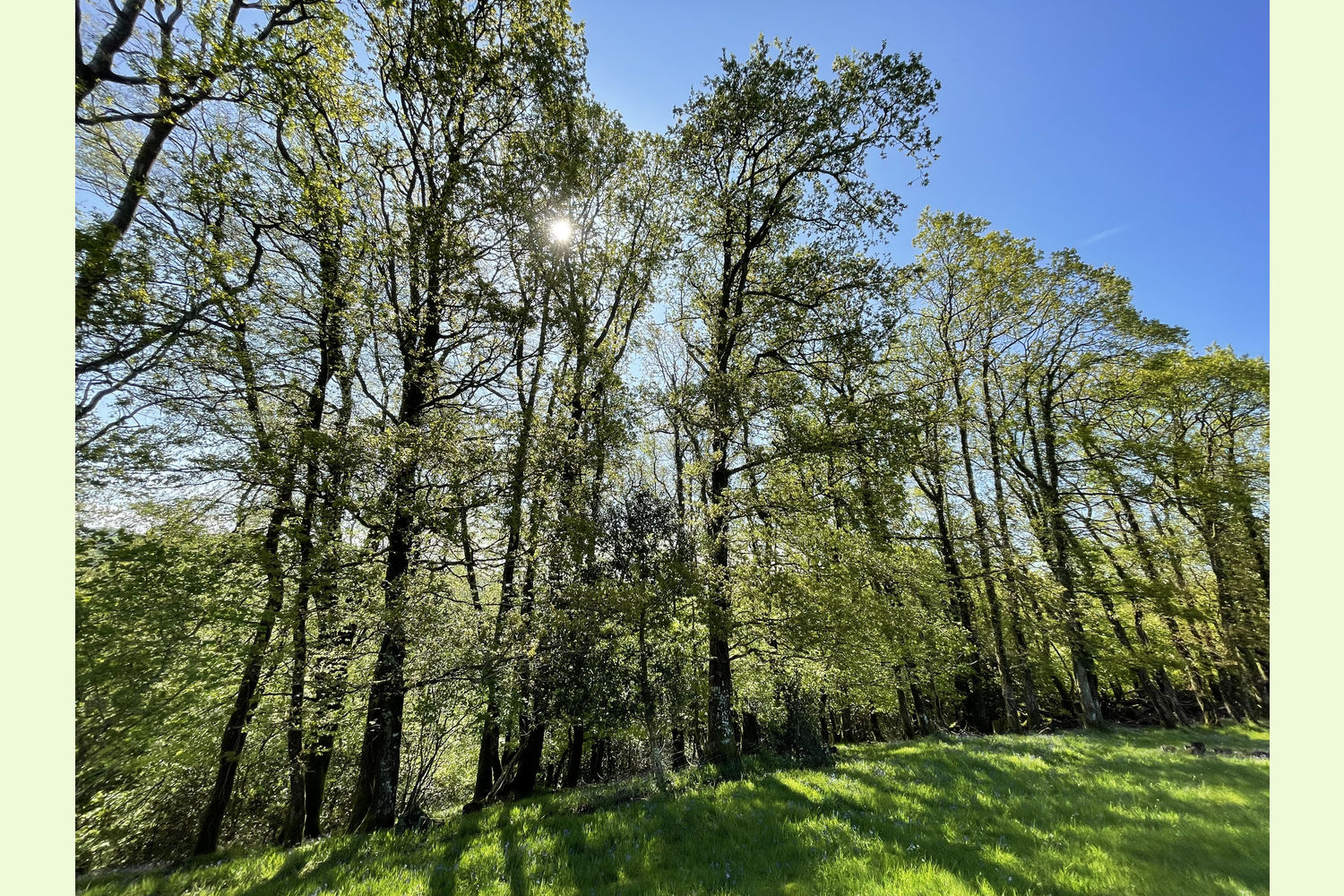
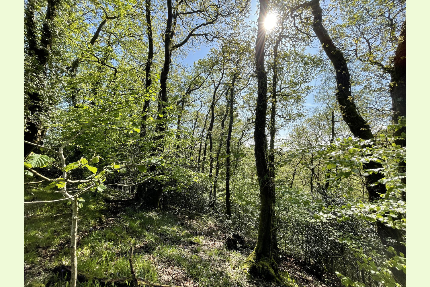
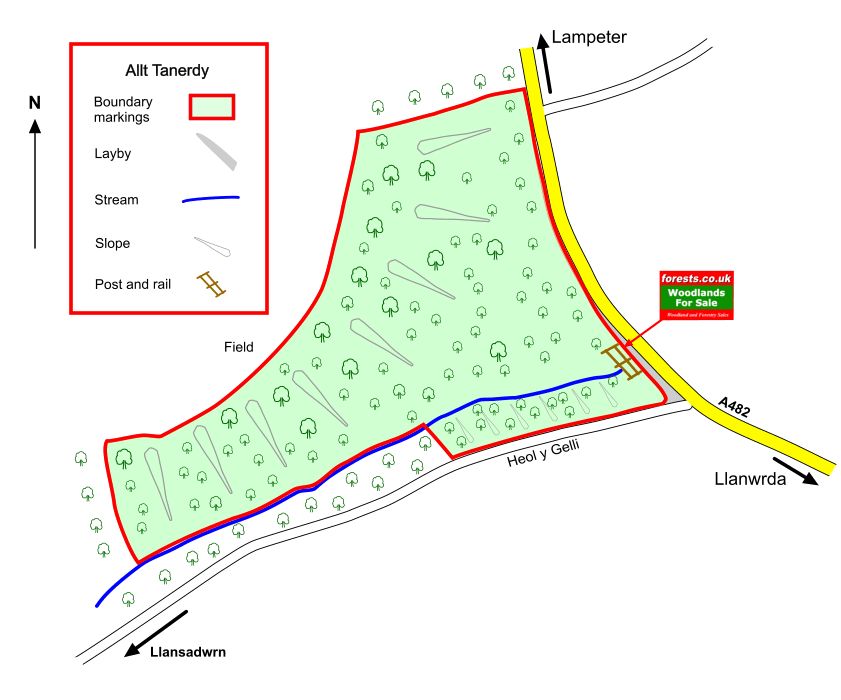
Description: Allt Tanerdy is a mixed broadleaf woodland, including oak, ash, beech, birch, and areas with a large quantity of young holly, and a wonderful carpet of bluebells in the spring. From the north-eastern boundary there is a view across open farmland to the hills beyond. The wood is on the eastern side of the valley of the Afon Dulais, a tributary of the Towy. The southern end of the woodland has a small fast-flowing stream, which forms the boundary part of the way, and is then within the wood for the remainder of its journey to a recently rebuilt culvert where it passes under the A482.
The woodland is reasonably steep in places, and would benefit from the creation of some paths, but because of the closed canopy there is relatively little undergrowth to interfere with walking around the wood.
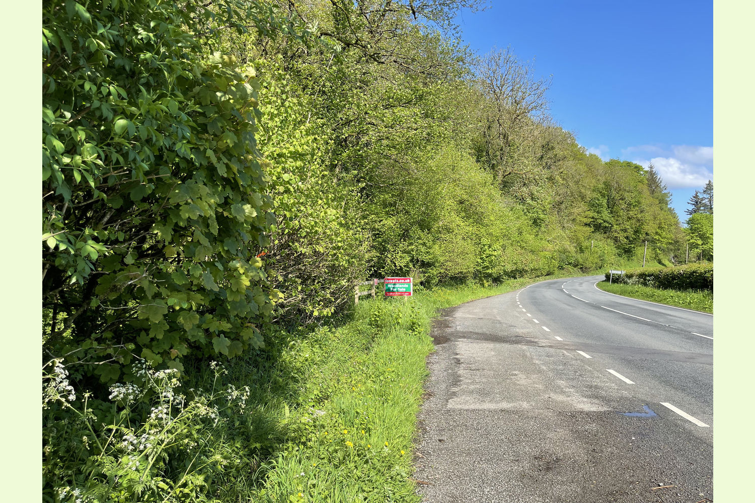
Access: The woodland can be accessed on foot from the layby alongside the A482, or from the minor road along part of the southern boundary. There is space, and a suitable area, to create a vehicle entrance from the layby (subject to any necessary consents).
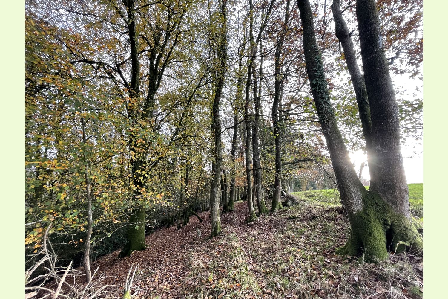
Boundaries: The eastern boundary and the first half of the southern boundary are the public highway. The remainder of the southern boundary is the stream. The northern boundary is fenced from adjoining woodland (although part of the fence is lying down), and the remainder of the north western boundary is the edge of the woodland, marked with the remnants of a fence.
Sporting rights: Included
Mineral rights: Included, except as excluded by statute.
Public footpaths: There are no public footpaths or public access of any kind within the wood.
Local area: The nearby village of Llanwrda has a convenience store for essentials. Llangadog, with a couple of shops and pubs is only three miles away, and the market town of Llandovery with a wide range of shops and cafes is only four miles away. The nearby River Towy offers good opportunities for fly fishing for sewin (sea trout).
Photographs: were taken in November 2021 and May 2023.
VIEWING: You are welcome to visit this wood by yourself. Please ensure that you have a copy of these sales details with you: we recommend either printing the details or downloading them to your phone/tablet/laptop before you go. Please take care when viewing as the great outdoors can contain unexpected hazards and woodlands are no exception.
Our Maps (Click on a map to see a large version)
Our Maps
Directions
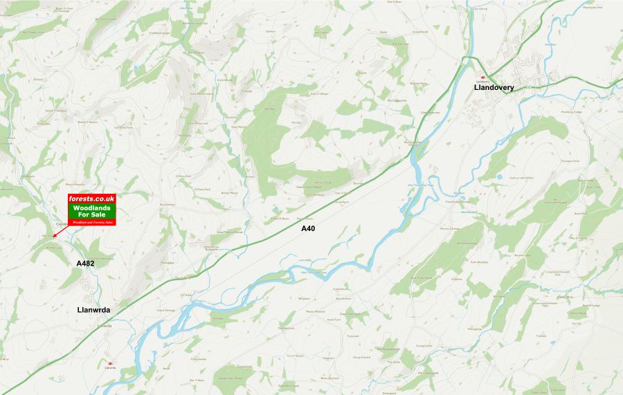
From the A40 (two and a half miles after the roundabout at Llangadog if travelling East, or three and a half miles beyond Llandovery if travelling West), take the A482, signposted Lampeter, in the village of Llanwrda.
Carry straight on for three quarters of a mile, and you will see the woodland on the left side of the road, just after a turning signposted Llansadwrn.
- Postcode for Satnav: SA19 8HY
- Coordinates for Satnav: 51.97674, -3.88223 (the layby on the A482)
Please note: if navigating by satnav using the postcode, the layby is at the turning off the A482 towards Llansadwrn, half a mile before your reach the postcode destination.
Please note: the particulars with plans, maps, descriptions and measurements are for reference only and although carefully checked we cannot guarantee their accuracy and do not form part of any contract. Any intending purchasers must satisfy themselves by inspection or otherwise as to the correctness of these particulars.
Location maps
View and print this wood's location on Bing Maps »
Interested in this woodland? Get in touch with us:
Contact Sandra Colley on 07769654392 or email us at [email protected] with your details.