Coed y Neuadd, Gwynedd - Sold
Details for this wood
Guide price: £45,000 - Freehold
Size: 3¾ acres
Location: Eisingrug, Talsarnau, Gwynedd
OS Landranger: 124
Grid ref: SH 618 347
Nearest post code: LL47 6YA
Contact: Sandra Colley
Phone: 07769654392
Email: [email protected]
Email to a friend
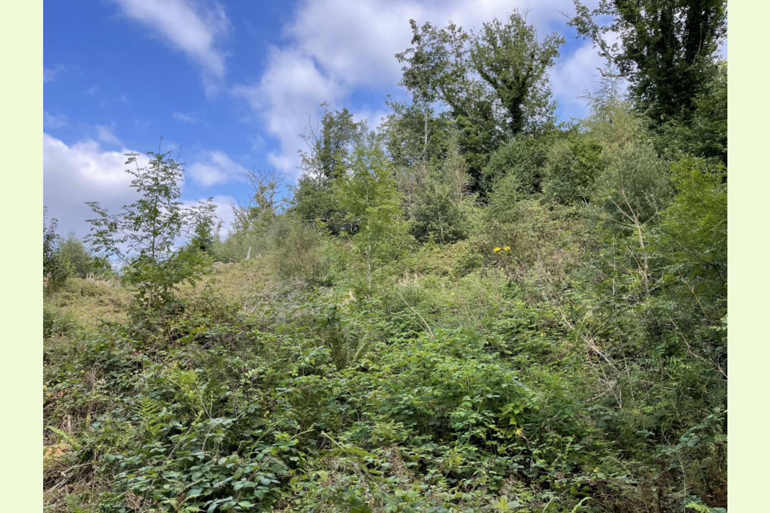
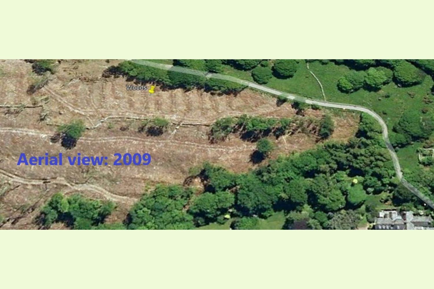
Description: As the site of a former conifer plantation part of this woodland has seen over 10 years of natural regeneration. This woodland does, however, require some restocking of trees to revert the land back into a thriving woodland. There is an obligation to replant, therefore this opportunity would very much suit a new owner that would wish to plan, create, plant and manage their own woodland to their own design.
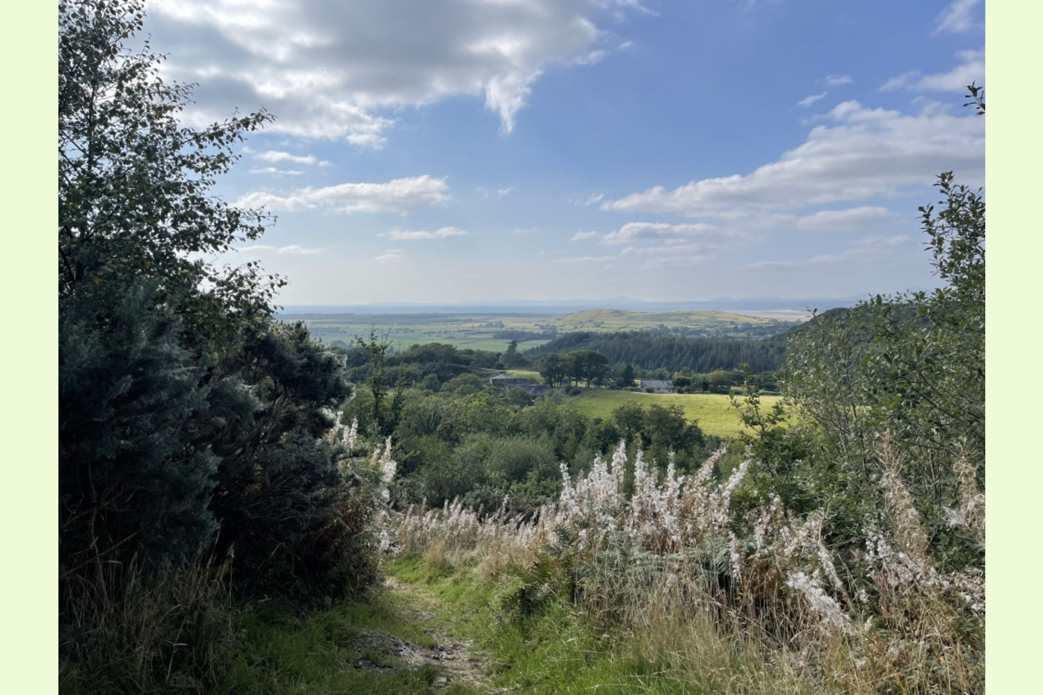
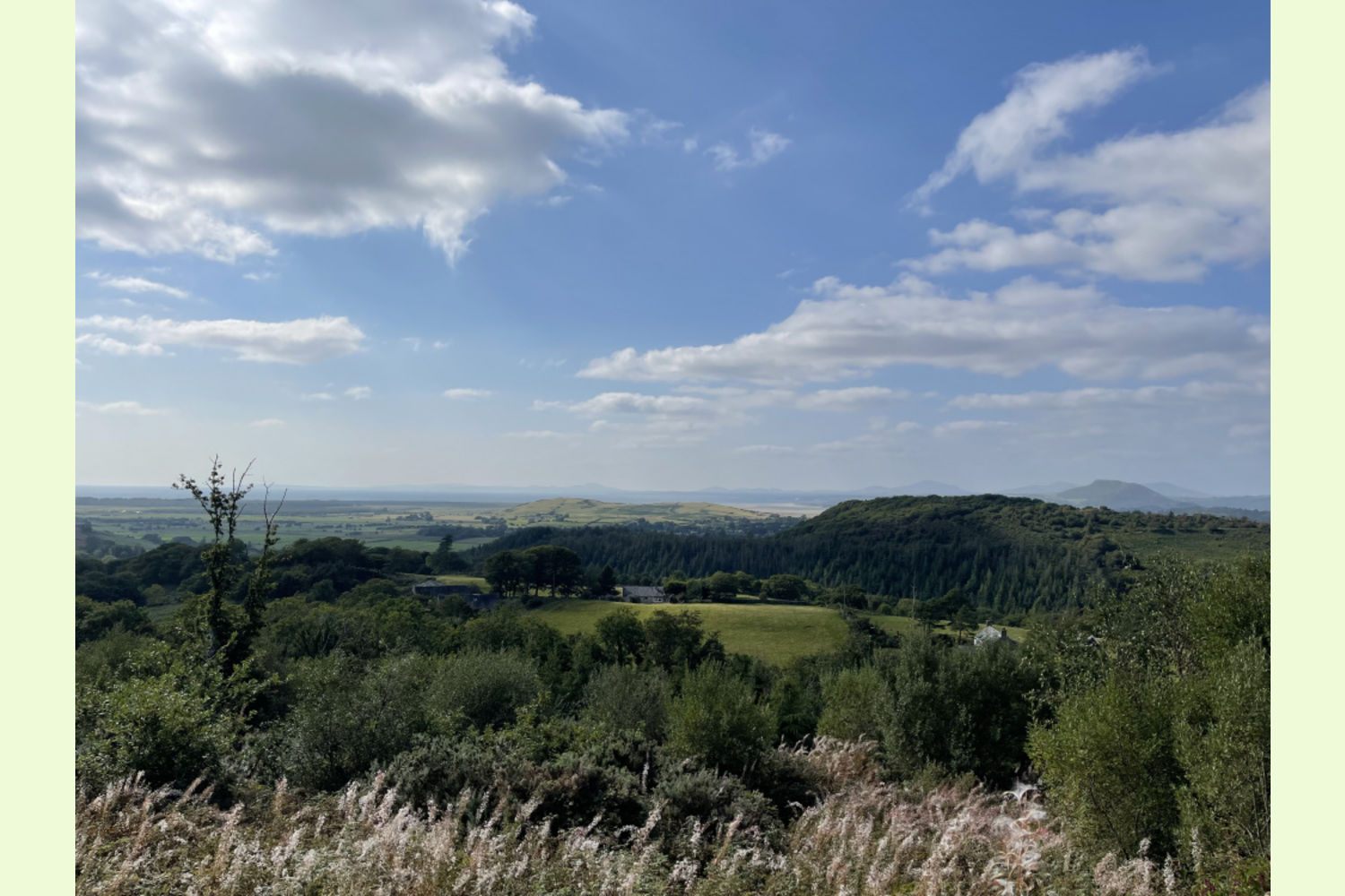
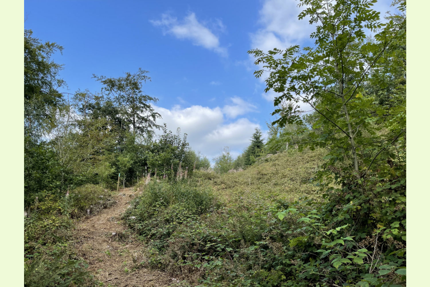
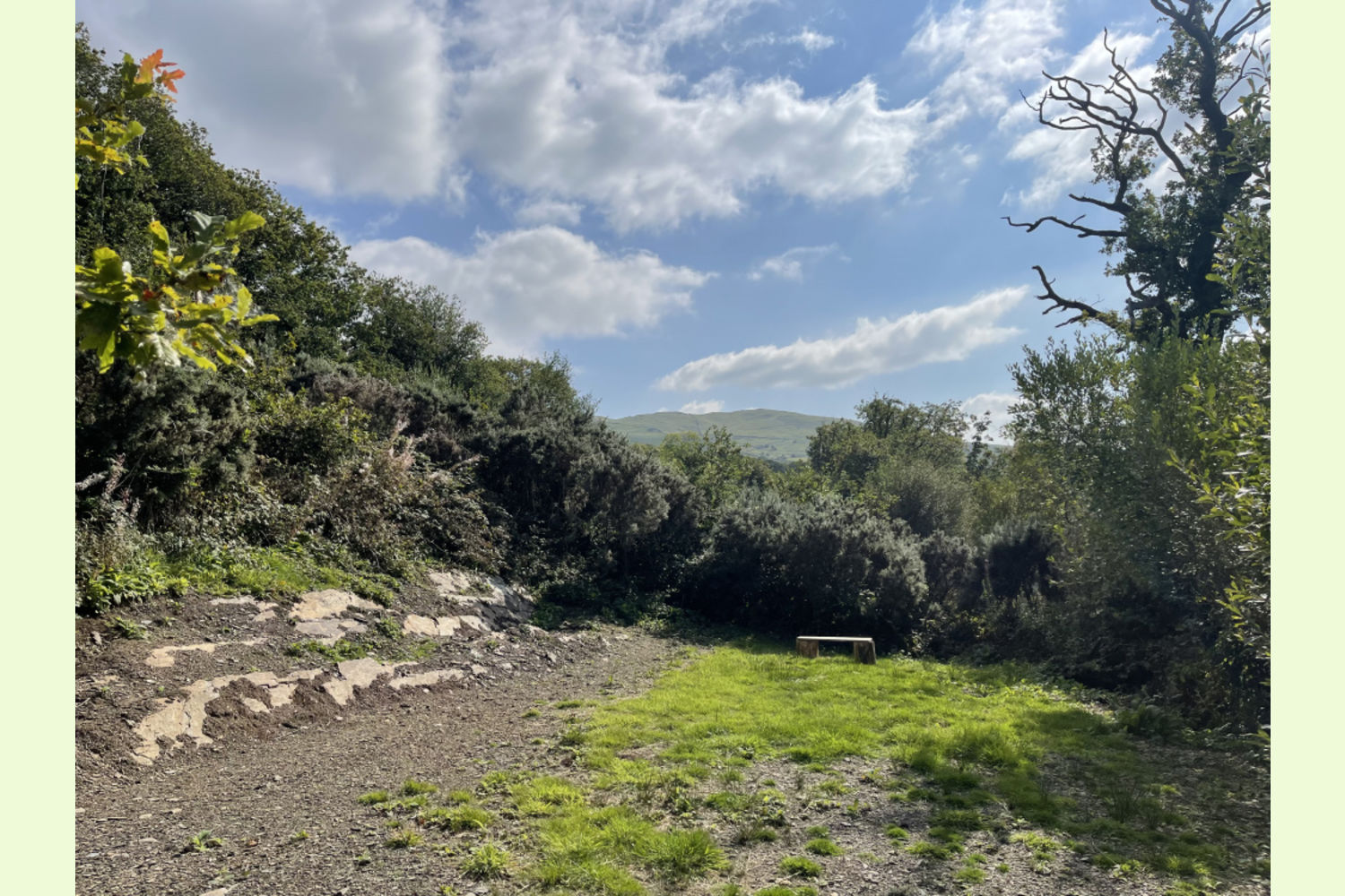
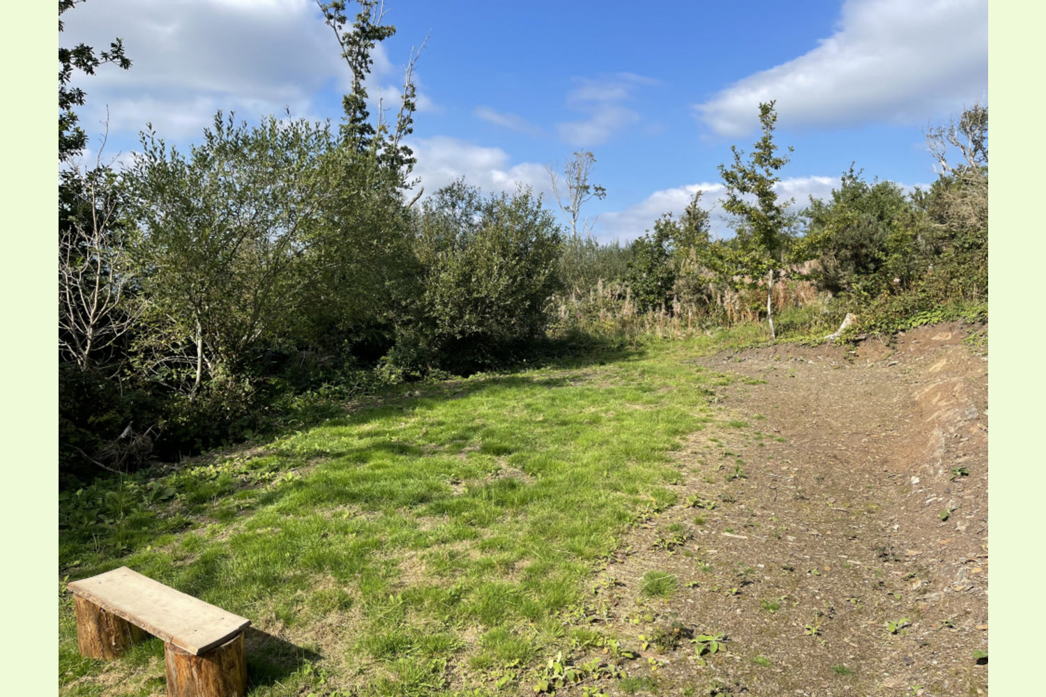
The woodland is on your left as you enter through the gate into Maes y Neuadd. There is space to park right next to the path that leads down to a large clearing which is wonderfully secluded and could be utilised as a base for woodland activities.
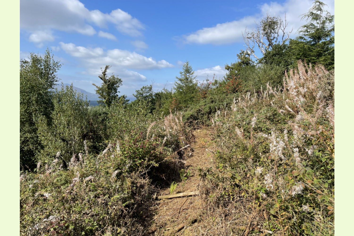
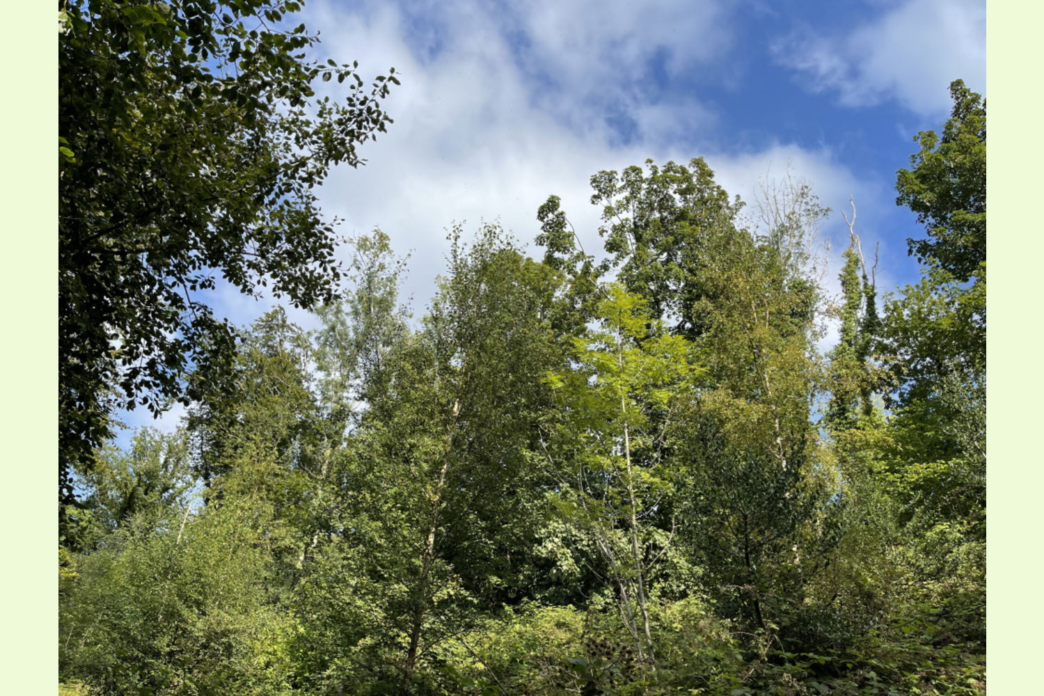
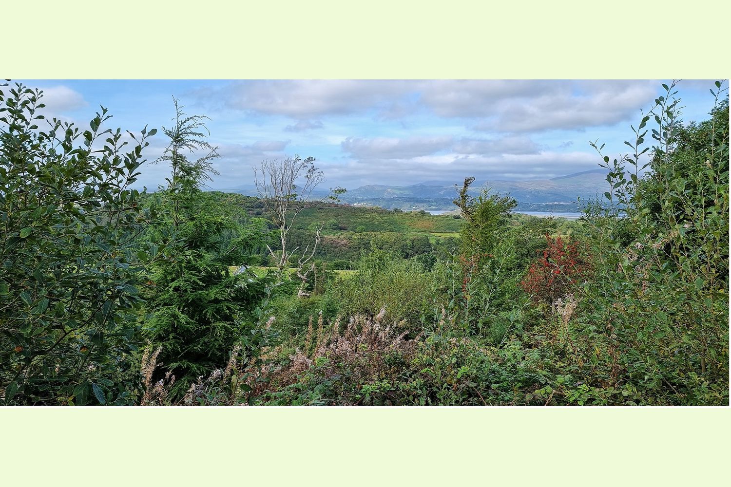
There are a few mature conifers left in this woodland, particularly at the southern tip of the wood, by the road, and some more mature broadleaf trees roadside. Most of the woodland is a variety of naturally regenerated broadleaf trees, together with a few young conifers, but there are some areas where no trees have established themselves, and where planting will be needed.
An environmental study of the whole Maes y Neuadd woodland was commissioned in 2013, and this can be made available on request.
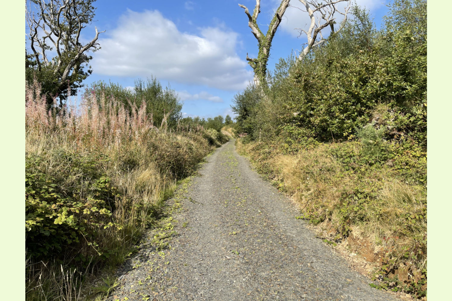
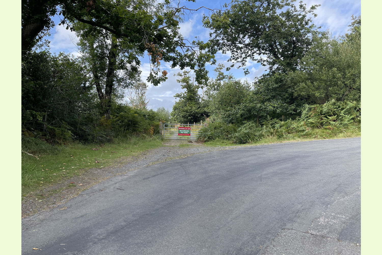
Access: There is an excellent main track leading to Coed y Neuadd, suitable for most ordinary cars. Once at the woodland there is space to park a vehicle. As you enter through the main entrance of Maes y Neuadd, the woodland will be on your left. At the entrance into Coed y Neuadd there is a stone path that leads down to a lovely secluded clearing, where you'll also find a handmade bench. A few meters down the stone path on the right hand side is a path which leads out to a dry stone wall which forms part of the northern boundary. The path leads over a break in the wall, and then down to the western boundary; the path then leads all the way to the fence line next to the road at the southern end of the wood. (Please note, the path down to the clearing is clear, but other paths may be quite overgrown).
Public access: None.
Sporting rights: Understood to be included.
Mineral rights: Included, except as reserved by statute.
Official designations: The lower half of the woodland is classified as Ancient Woodland, which means it has continuously been woodland for at least 400 years. It also lies within Eryri - the Snowdonia National Park, and they have been very supportive of the woodland owners here.
Wildlife: Woodcock, buzzards, various song birds, bats, pheasant and foxes have all been seen here.
Boundaries: The northern boundary runs downhill from the main track and is marked by stakes, and a stone wall for a short section.
The eastern boundary runs along the track and the road.
The western boundary is indicated by a run of wooden stakes.
Boundaries are further marked with turquoise paint.
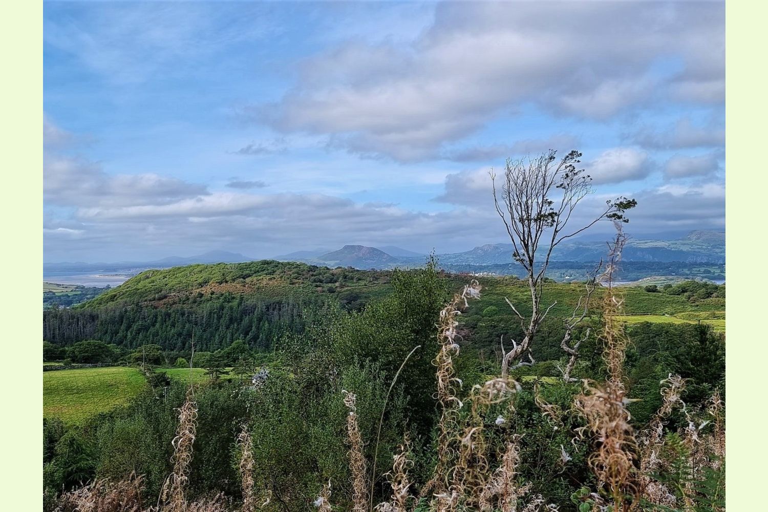
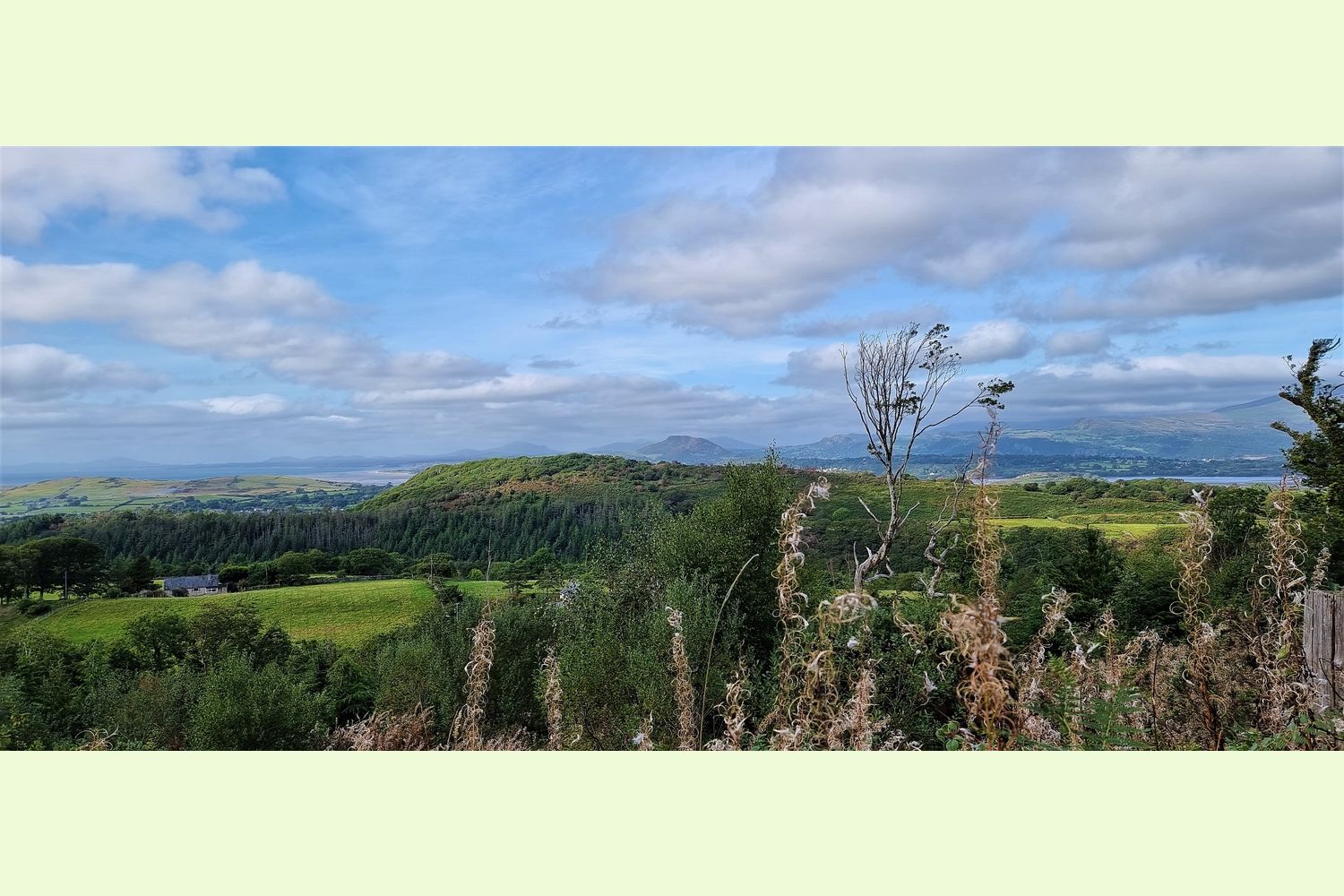
Local area and history: Coed y Neuadd is part of Coed Maes y Neuadd, which has some of the finest views of Snowdonia you will ever see. Situated two miles from Talsarnau in the small hamlet of Eisingrug, just 3.5 miles from historical Harlech, its famous castle is visible from the woodland. The world-famous Portmeirion can also be seen from the woodland and is easy to reach in 15 minutes.
Covenants: in common with the neighbouring woodlands, there is a covenant designed to ensure that all can have quiet and peaceful enjoyment of their woodland.
VIEWING: You are welcome to visit this wood by yourself. Please ensure that you have a copy of these sales details with you: we recommend either printing the details or downloading them to your phone/tablet/laptop before you go. Please take care when viewing as the great outdoors can contain unexpected hazards and woodlands are no exception, particularly as you make your way over the dry stone wall and down the hillside.
Our Maps (Click on a map to see a large version)

Our Maps
Directions
From the A487 Dolgellau to Porthmadog road, turn onto the A496 signposted Maentwrog and Harlech. Follow the A496 for just under 6 miles miles, and after Talsarnau, the road becomes the B4573 (do not take the right turn to stay on the A496).
After a third of a mile, just before a bridge, turn left into a small lane and follow that for half a mile up the hill, through the village of Eisingrug and its village pond, and take the next right turn between a telegraph pole and a stone barn, marked as a no-through road.
Follow that road up the hill for a third of a mile until you reach a metal gate with our woodlands for sale sign on it. Please park here (without blocking the gate).
- Postcode for Satnav: LL47 6YA (about a quarter of a mile
- before the main entrance gate)
- Coordinates: 52.89193,-4.05456 (main entrance gate)
- What3Words: reconnect.triangles.twigs (the main gate)
Please note: the particulars with plans, maps, descriptions and measurements are for reference only and although carefully checked we cannot guarantee their accuracy and do not form part of any contract. Any intending purchasers must satisfy themselves by inspection or otherwise as to the correctness of these particulars.