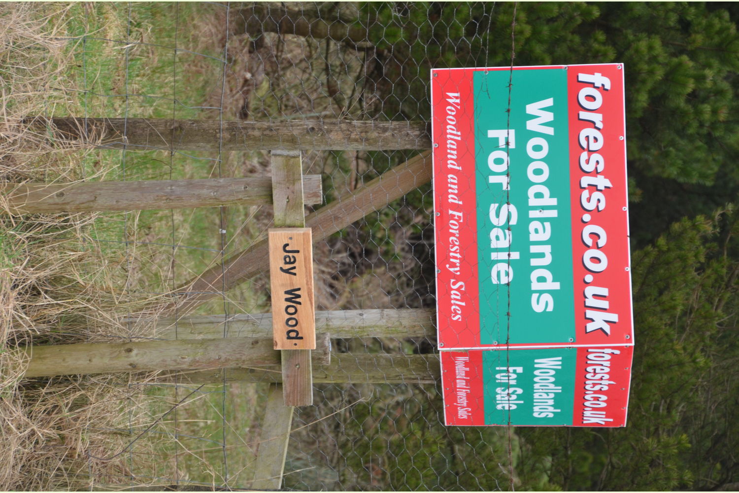
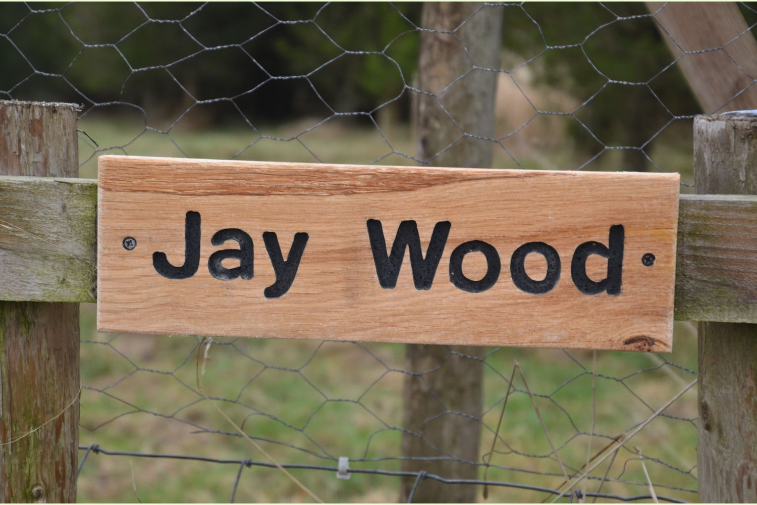
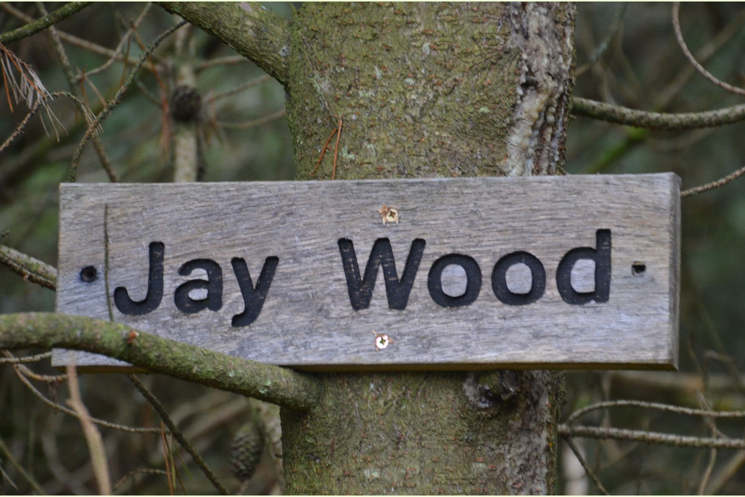
JAY WOOD


Details for this wood
Guide price: £68,000 - Freehold
Size: About 7 acres
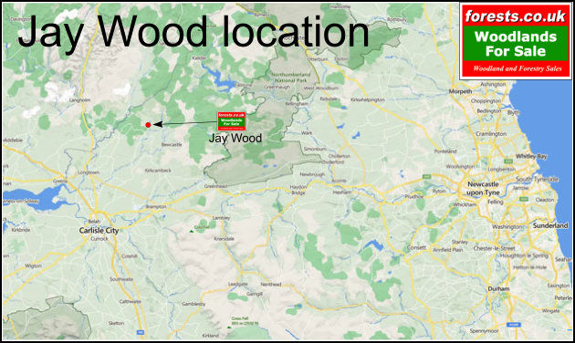
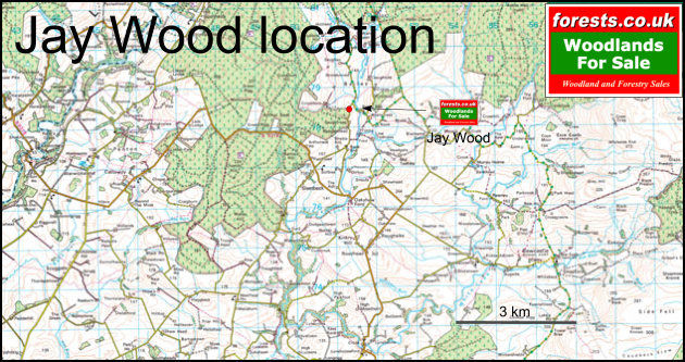
Location: SLEETBECK near BEWCASTLE, CUMBRIA.
OS Landranger: OS No 86
Grid ref: NY 512 784
Nearest post code: TD9 0TS
Contact: David & Sarah Alty
Phone: 07795 104 594
Email: [email protected]
Email to a friend
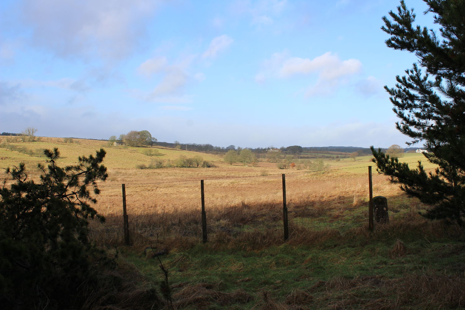
A beautifully secluded Corsican pine woodland, located in the northern reaches of Cumbria on the lip of Liddesdale, close to the England-Scotland border.
The term "a hidden gem" is much overused; however, in this instance, it is entirely apt. Tucked away as it is in the hills of northern Cumbria in the heart of reiver country and on the edge of the debatable lands, this is a little-visited and unspoiled corner of the county.
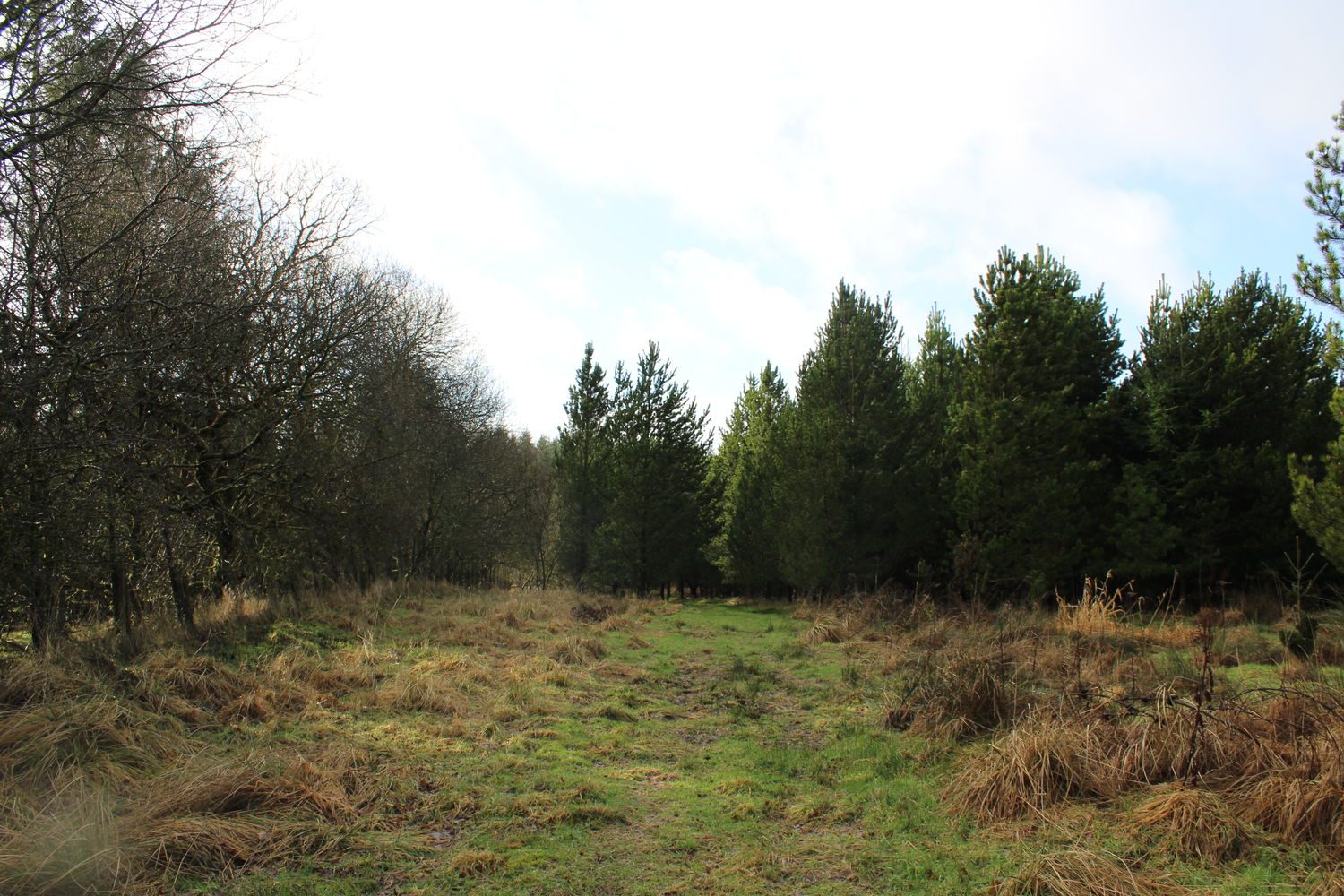
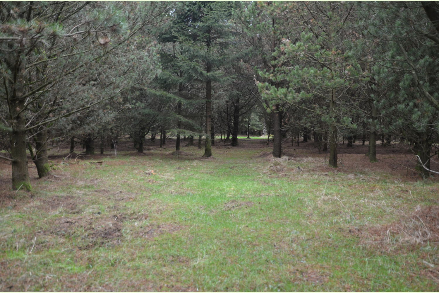
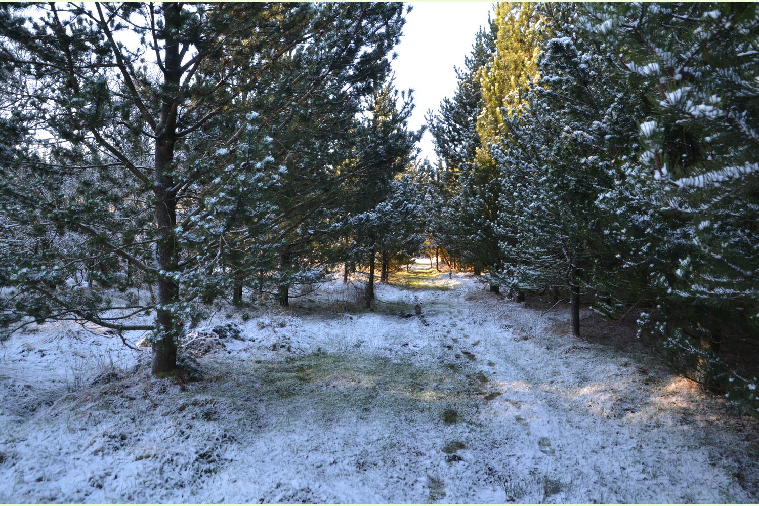
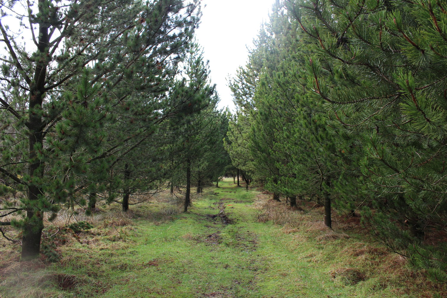
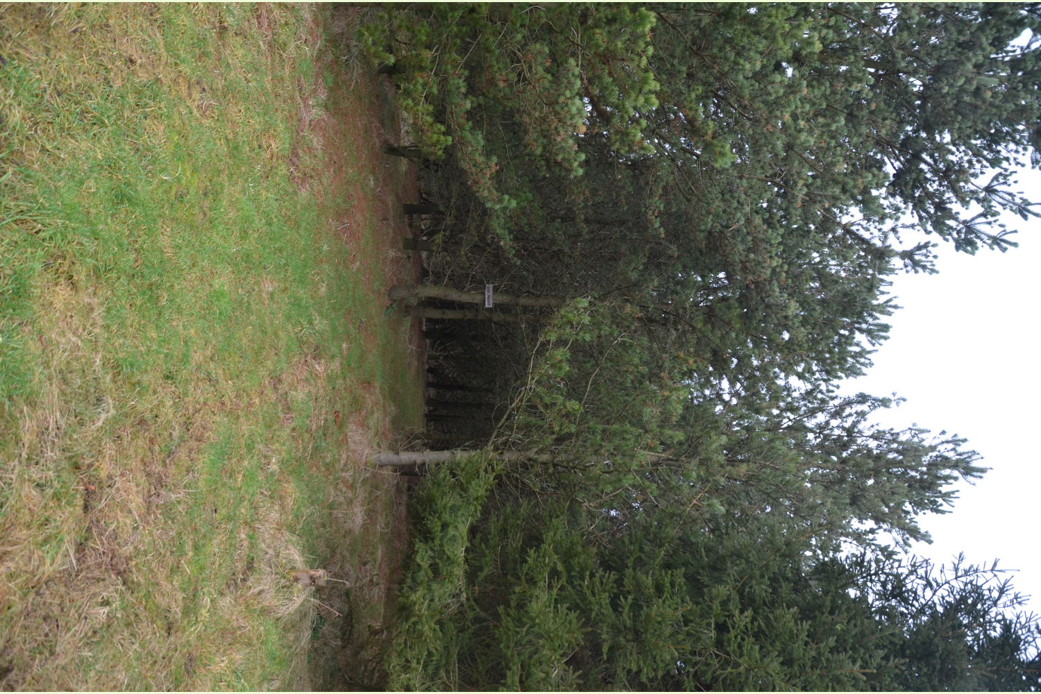
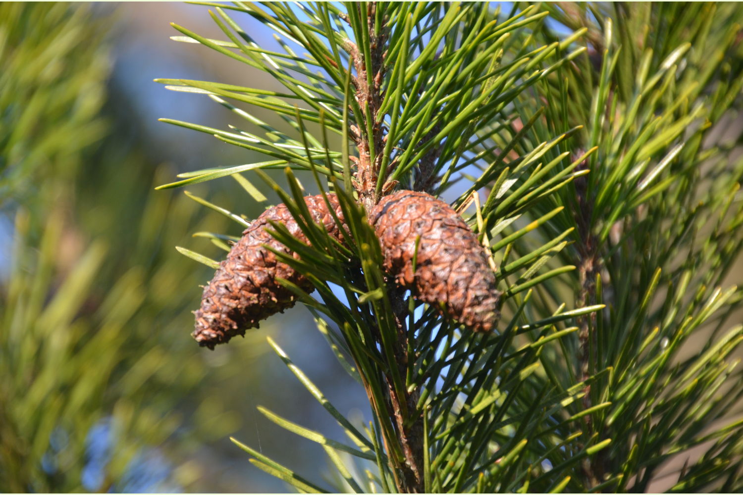
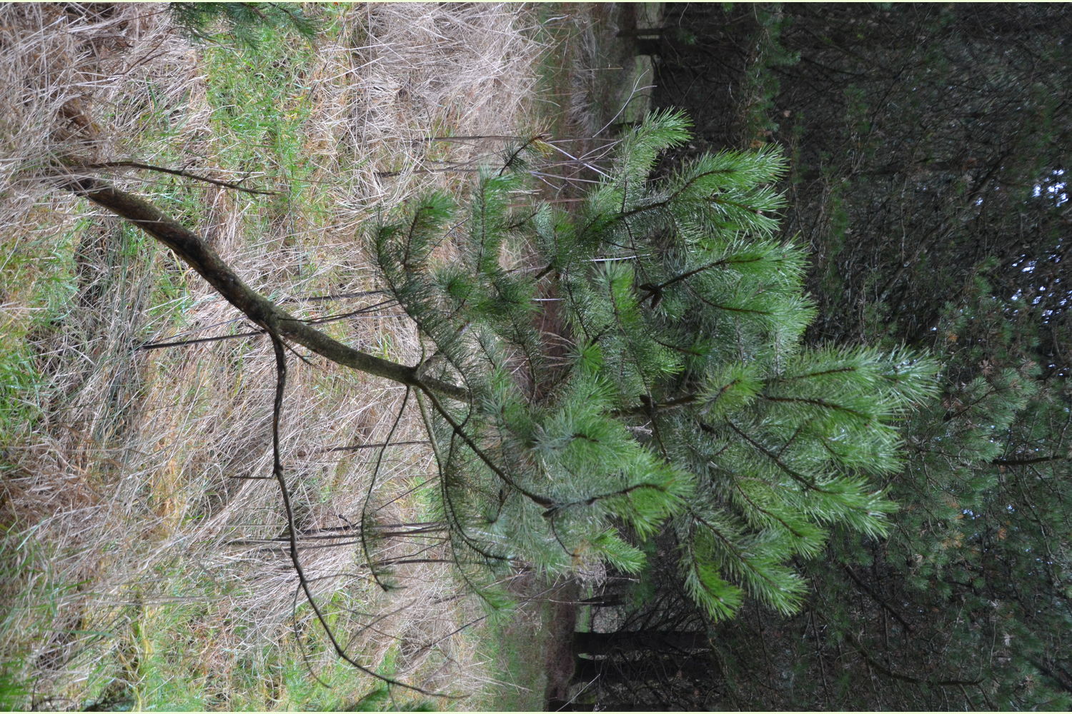
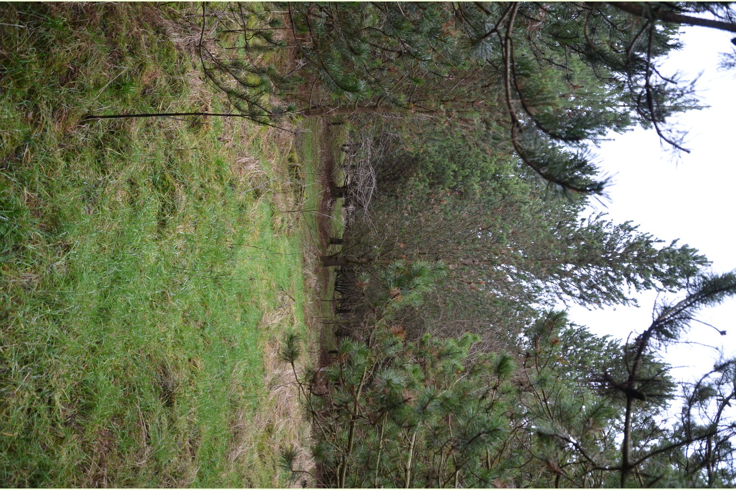
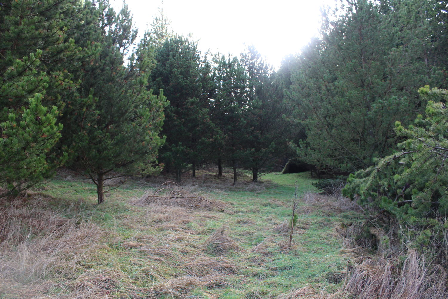
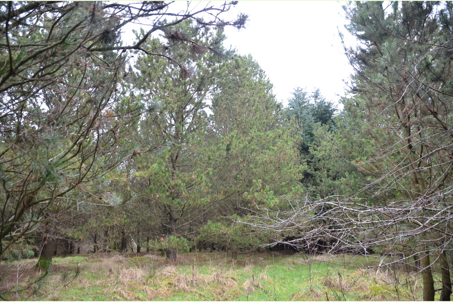
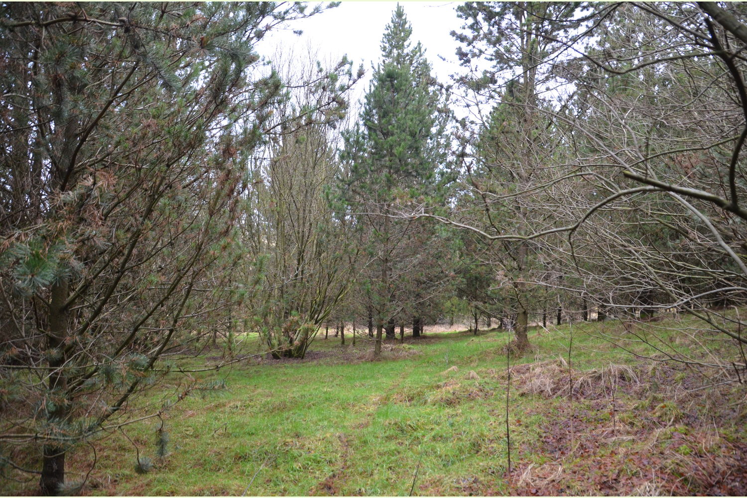
Nestled on the fringe of the much larger Kershope Forest, the wood is a Corsican pine plantation, still in its youth. As the name suggests, this tree originates from Corsica. Frequently used as a timber harvest species in these localities, the Corsican pine is a beautiful tree whose regular growth shape and open canopy makes for a pleasant and open woodland, which belies its plantation designation.
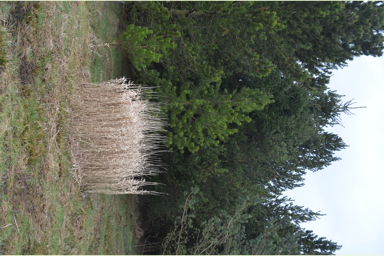
Although the trees are young, they have taken well and are well set to achieve maturity and impressive stature. As the wood is near enough 100% pine, there is plenty of scope for additional planting to improve diversity and widen the habitat base. The addition of understorey trees and native woodland plants would be a possible project for the future.
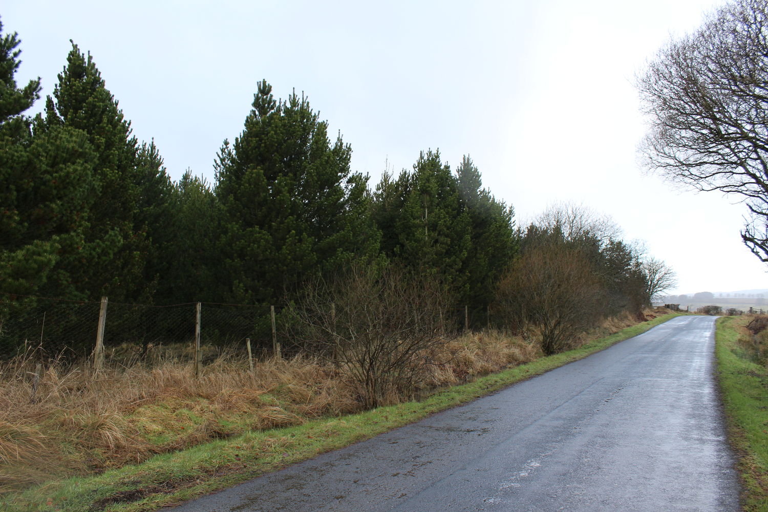
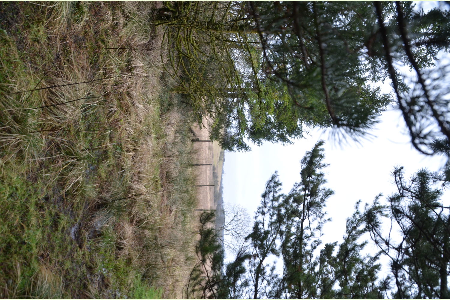
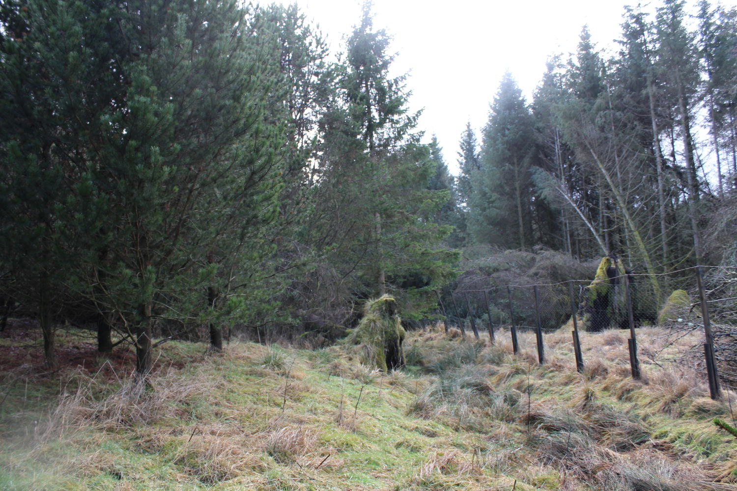
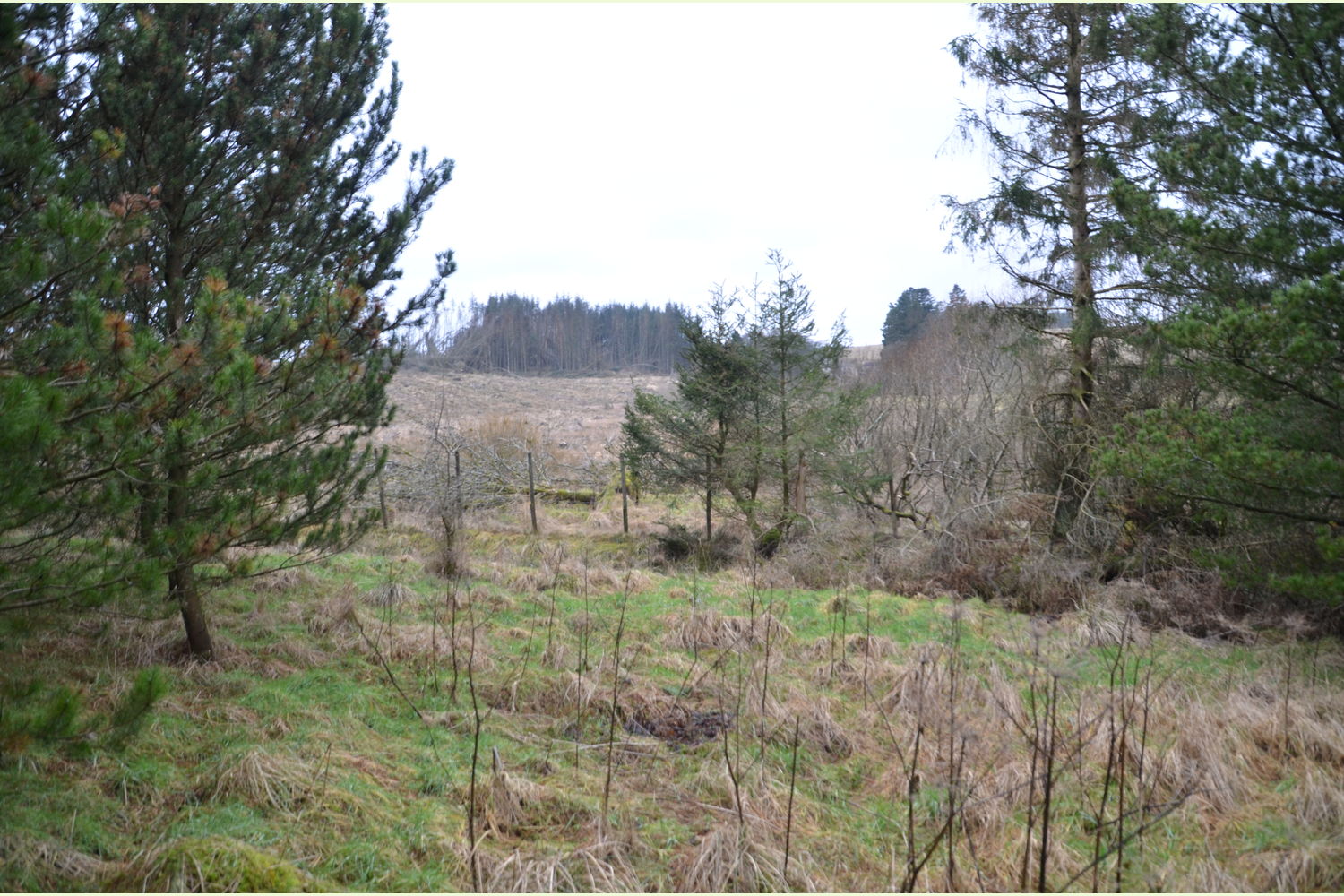
Largely level, the landscape slopes gently to the west as it joins the larger forest, separated along the boundary by a wire deer fence.
Trees:
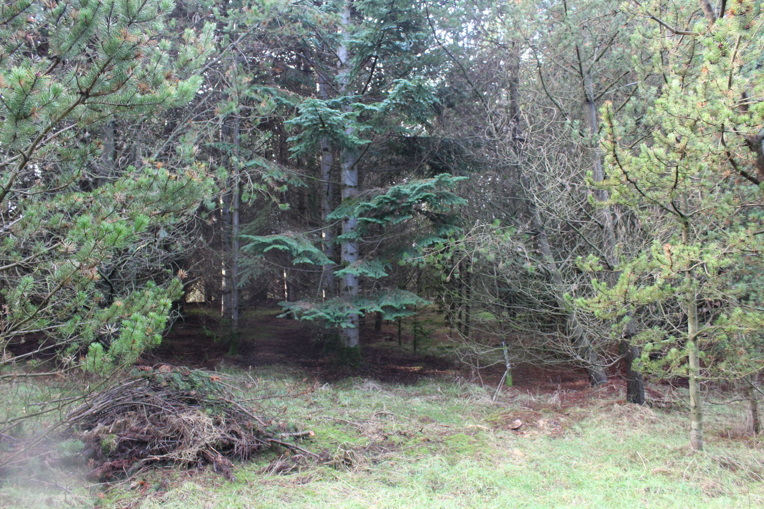
By and large, the wood is a Corsican pine plantation with a scattering of Norway spruce and occasional Scots pine and a number of self-seeded willow dotted about.
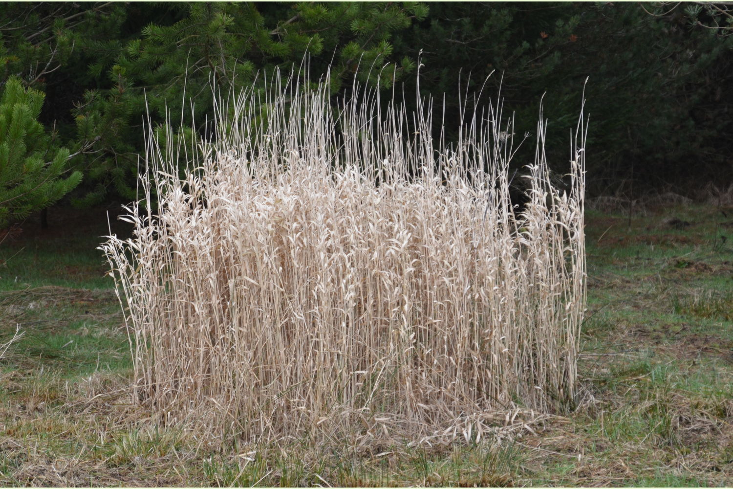
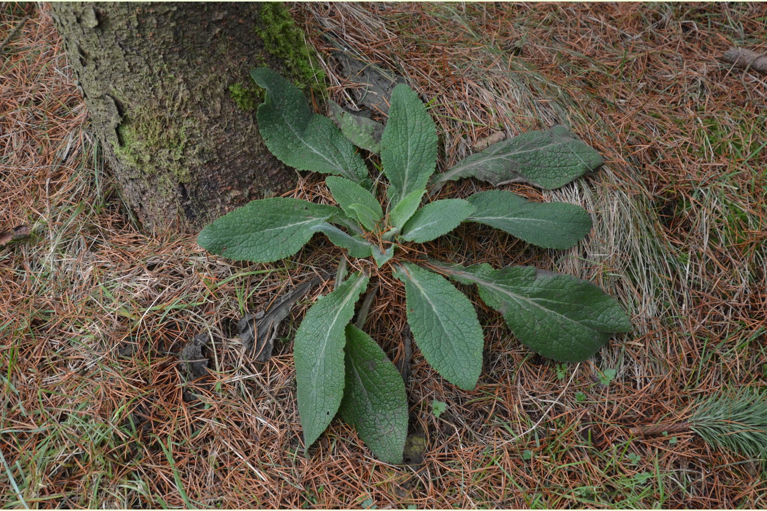
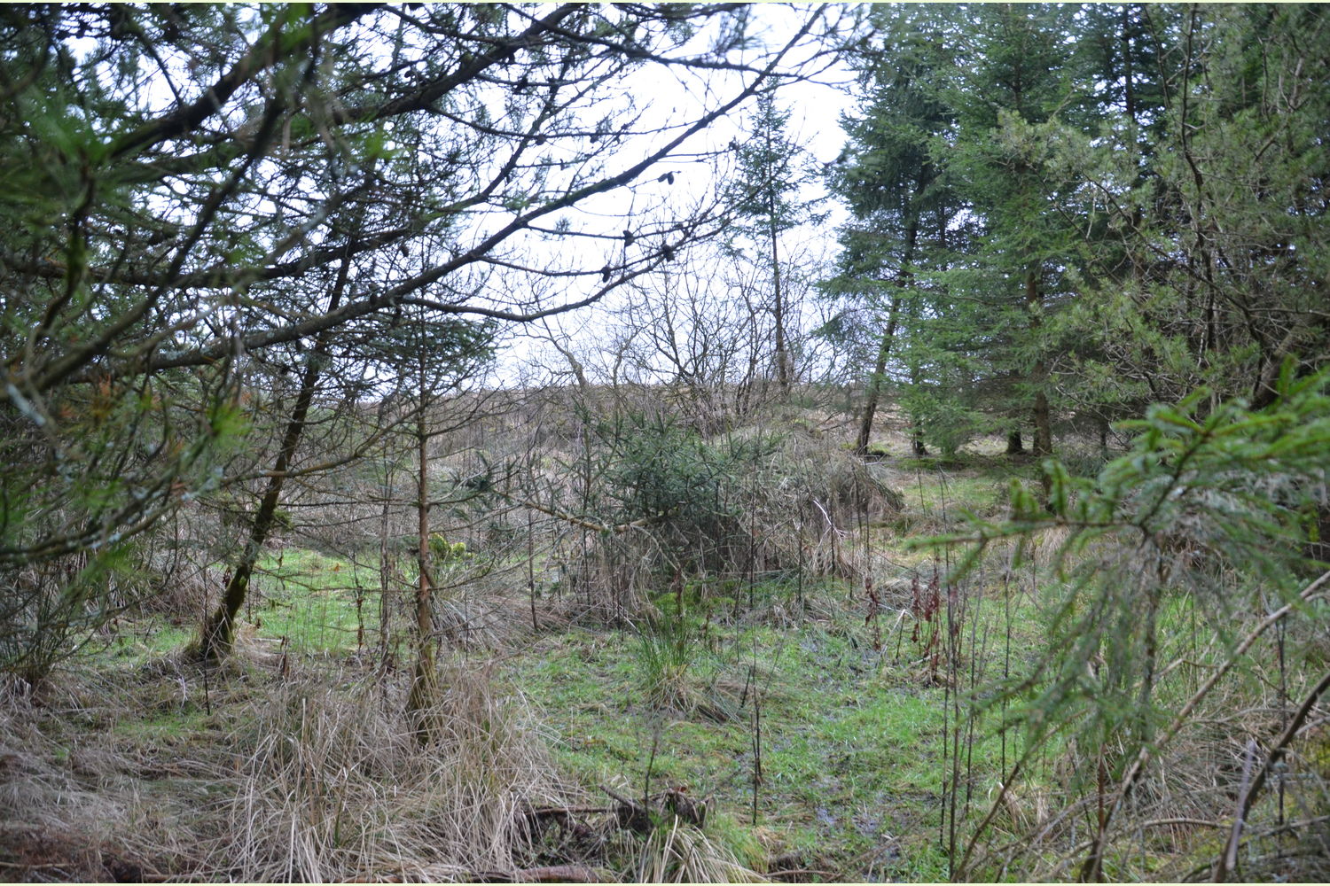
A bare field plantation, the forest floor is already showing signs of naturalisation, with sorrel and foxglove emerging through the grasses.
Wildlife:
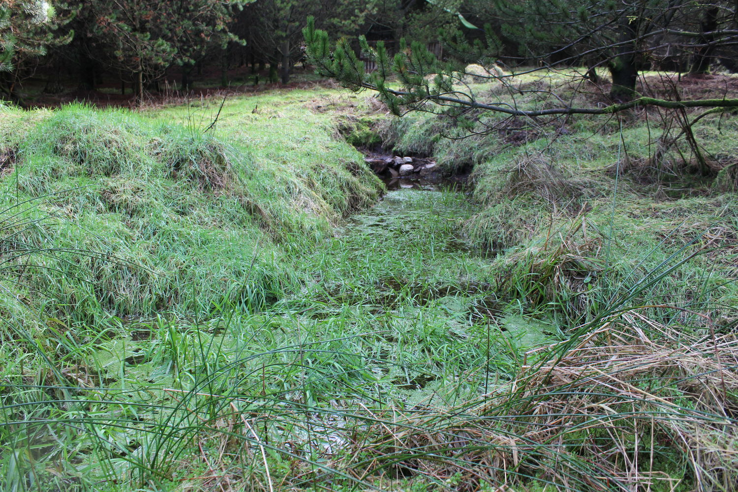
Despite the fencing, the wood has a transient roe deer population with foxes and badgers also passing through on evening forays. Frogs, toads and newts also make their home here, with adjacent wetland patches giving ample breeding space.
The provision of nest boxes and feeders has supported and encouraged a variety of small woodland birds to stay awhile and raise their hungry broods.
Features:
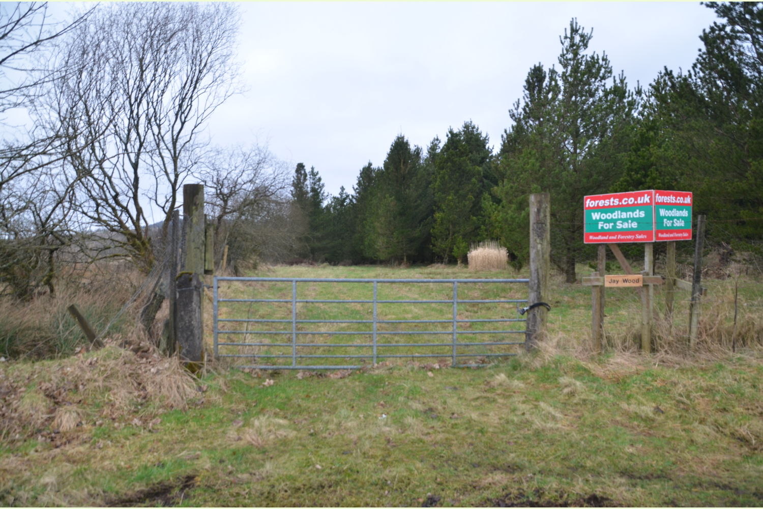
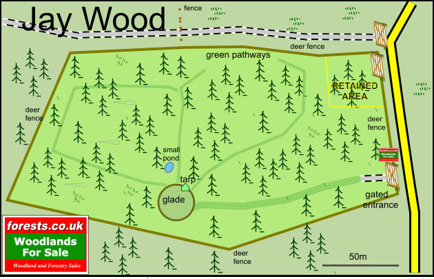
The central glade has a large camping area with a variety of seating and a tarp-based wood and equipment store, all of which are included in the sale.
Access, tracks and footpaths:
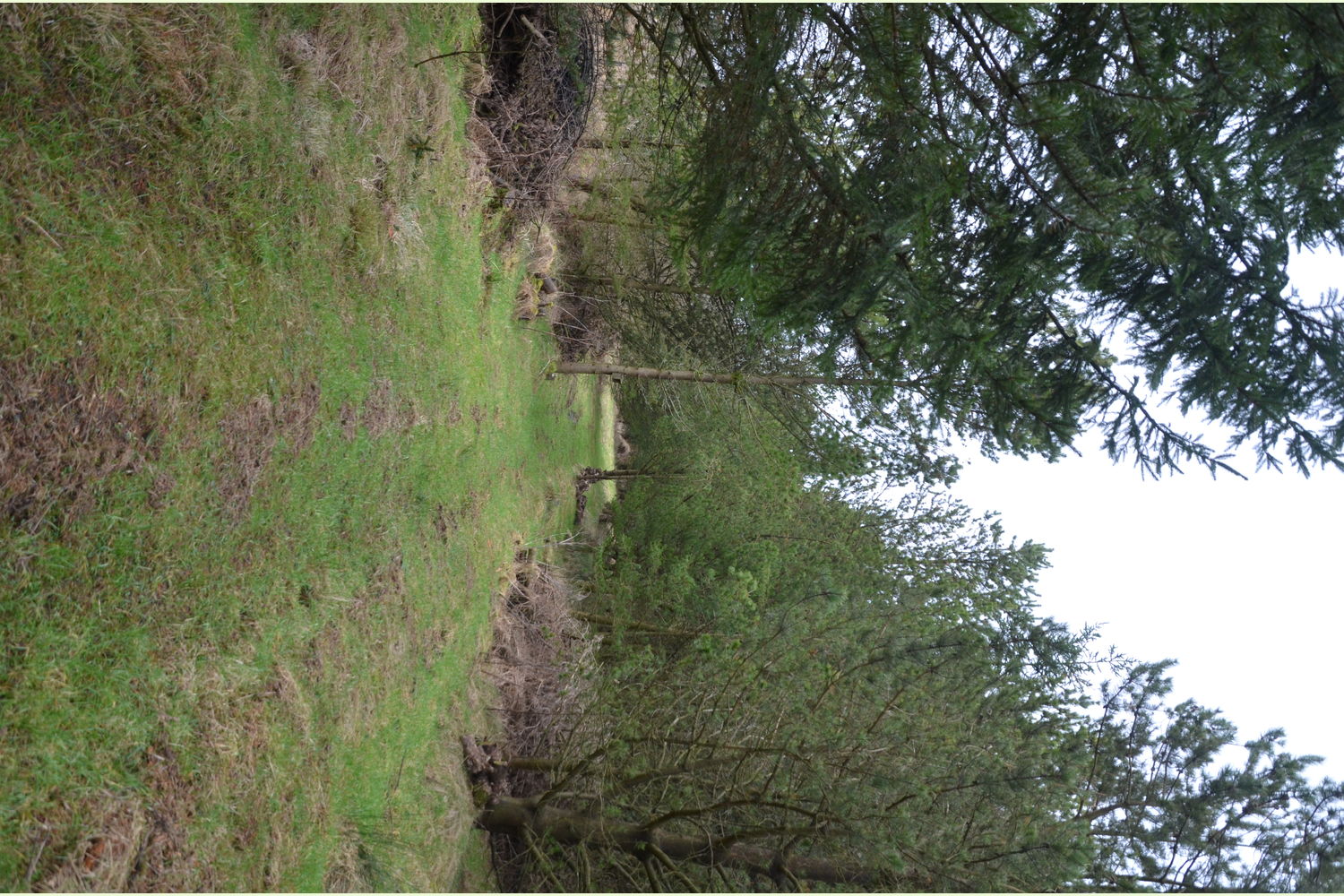
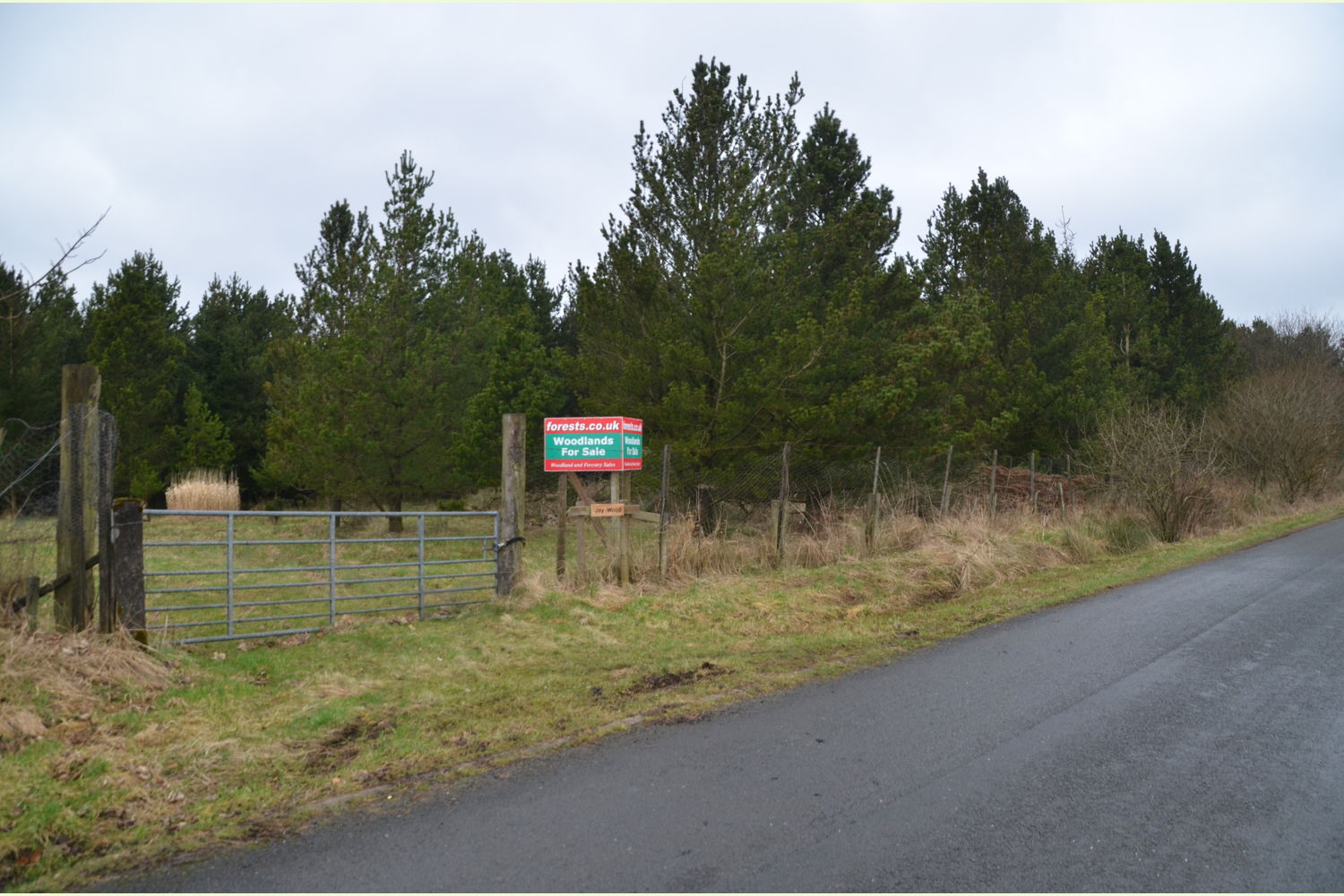
A small hardstanding sits immediately behind the main entrance gate; this quickly gives way to a greenway which leads into the heart of the wood and a large glade. From this point, a number of green pathways make for pleasant access throughout the wood.
Rights and covenants:
The sporting rights are owned and included in the sale.
Activities:
An ideal location to escape from the pressures of modern living. Camping, wildlife watching, cycling on the surrounding network of former drove-roads, really, the possibilities are many and varied.
Small-scale woodland management, conservation or even a low-level supply of domestic wood fuel.
Local area and history:
The wood is surrounded by a large number of small farms and tiny villages in an area historically infamous for lawlessness and unrest. A mere 5 miles from Bewcastle, an isolated village steeped in Roman and Border history. The church, farm, and castle occupy the site of a Roman outpost fort which guarded the Maiden Way, the main Roman road north from Birdoswald on Hadrian’s Wall, some 6 miles to the south.
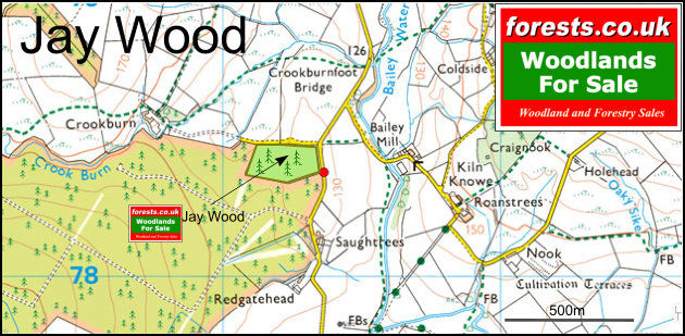
Boundaries:
The boundaries of the wood are defined by a deer fence as marked on the detail map. A small area is to be retained by the current owner. This is marked on the ground by fence posts and a yellow string line.
Our Maps (Click on a map to see a large version)
Our Maps
Directions
Bing OS map: http://www.bing.com/maps/?v=2&sty=s&lvl=15&cp=55.0977%7E-2.76612&where1=55.0977%2C-2.76612
Google aerial view: http://maps.google.com/maps?q=55.0977,-2.76612&hl=en&t=h&ll=55.0977,-2.76612&z=16&iwloc=near
Directions:
- Jay Wood is located about 20 miles north of Carlisle, to the east of the A74M
For Directions From Bing Maps CLICK HERE enter your own postcode (Jay Wood entrance coordinates are already entered) and click on the blue "Go" box.
For Satnav; the postcode TD9 0TS is for the point shown by the red dot on the location map.
what3words: ///changes.rotations.lunged
Or, use our directions from the M6 Jct 44:
- Leave Jct 44 on the A7 heading north towards Longtown.
- After 1.4 miles at Blackford turn right, signposted Scaleby and Cliff. Continue on this road for 2.8 miles.
- At the A6071 turn right towards Brampton then after 0.4 miles take the first left signposted Roadhead. At the T junction turn left.
- Continue for 4 miles and turn left at the next T junction signposted Shankhill + Bailey.
- After 1.2 miles pass Lynedale Farm and bear right, un-signposted.
- Continue for 4.3 miles passing Mallsgate & Sleetbeck.
- Go straight across at the crossroads with the B6318 sign posted Bailey & Newcastleton.
- After 1-mile pass Saughtrees Farm on the right and the well-marked entrance to the wood will appear on the left.
- Park safely off the road in the entranceway and continue on foot over the locked gate.
Please note: the particulars with plans, maps, descriptions and measurements are for reference only and although carefully checked we cannot guarantee their accuracy and do not form part of any contract. Any intending purchasers must satisfy themselves by inspection or otherwise as to the correctness of these particulars.
Location maps
View and print this wood's location on Bing Maps »
Interested in this woodland? Get in touch with us:
Contact David & Sarah Alty on 07795 104 594 or email us at [email protected] with your details.