

Greenwold Wood
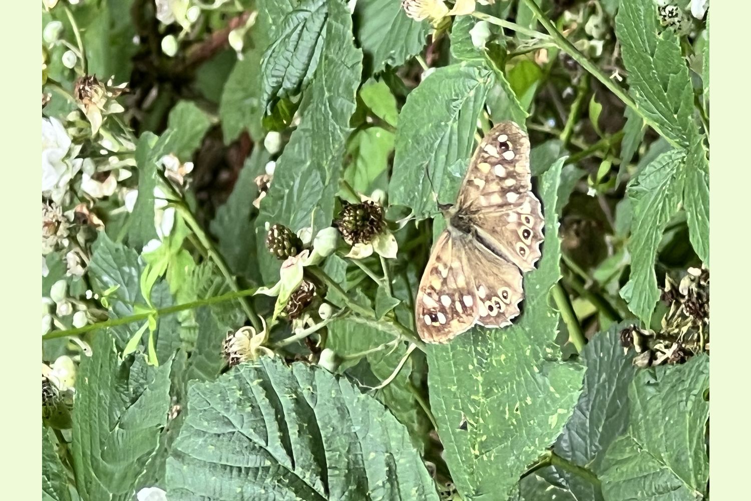
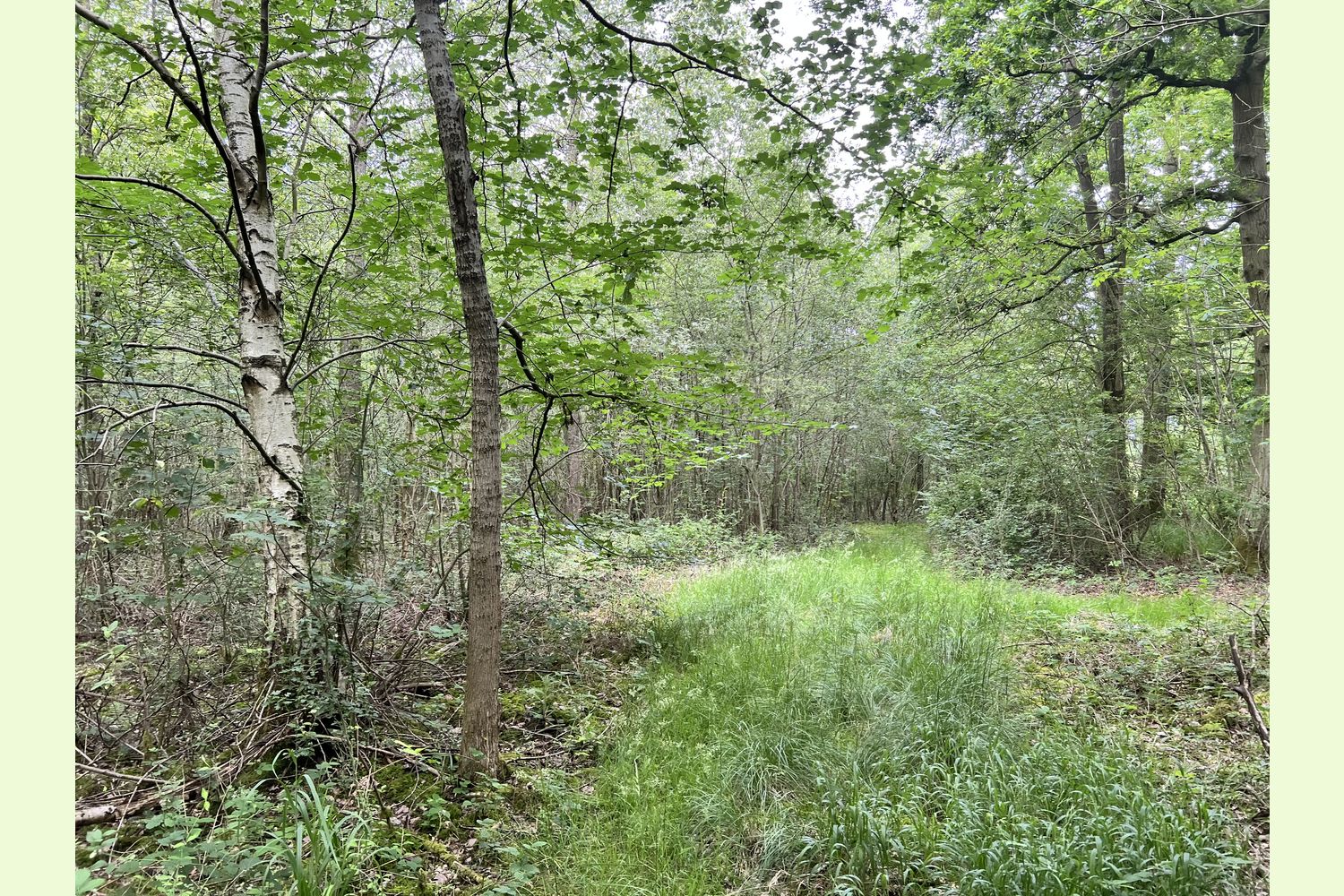
Details for this wood
Guide price: £117,000 - Freehold
Size: Just over 5.5 acres
Location: Cotgrave, near Nottingham, Nottinghamshire
OS Landranger: 126
Grid ref: SK 649 329
Nearest post code: NG12 5PG
Contact: Liz & Dan Watson
Phone: 07970 116 515
Email: [email protected]
Email to a friend
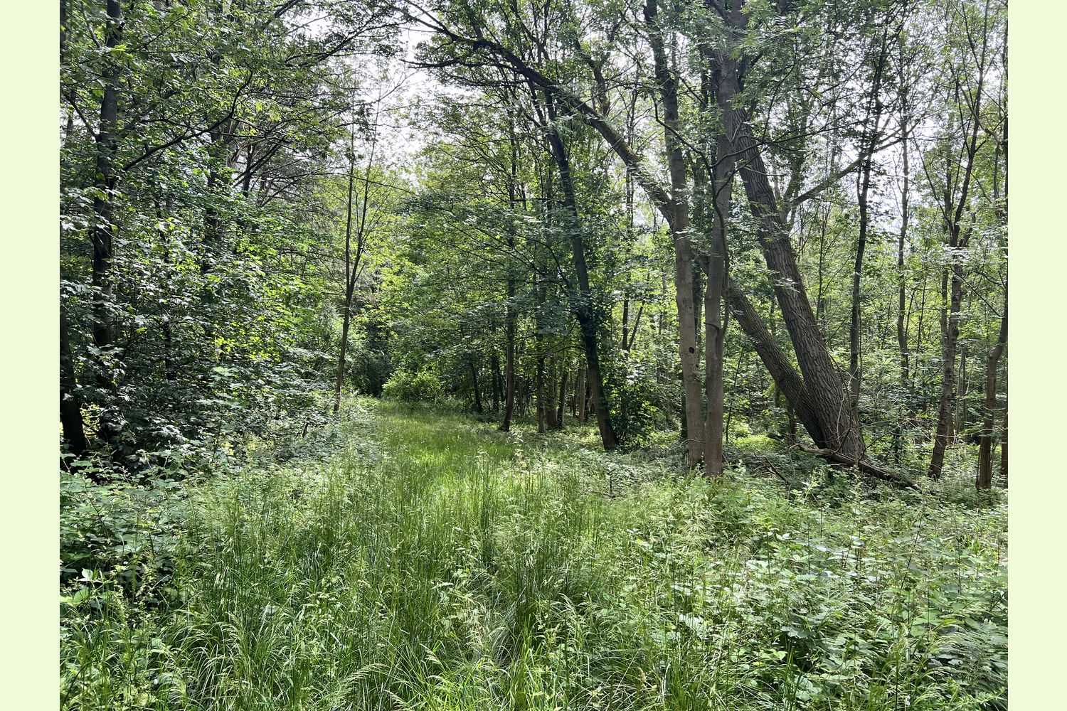
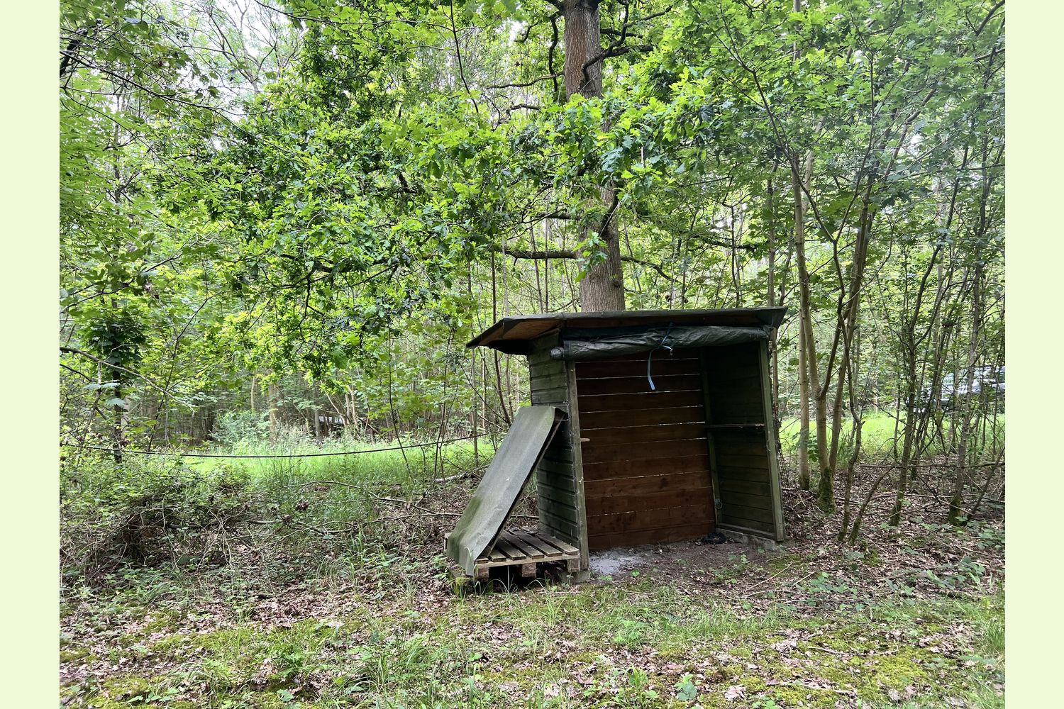
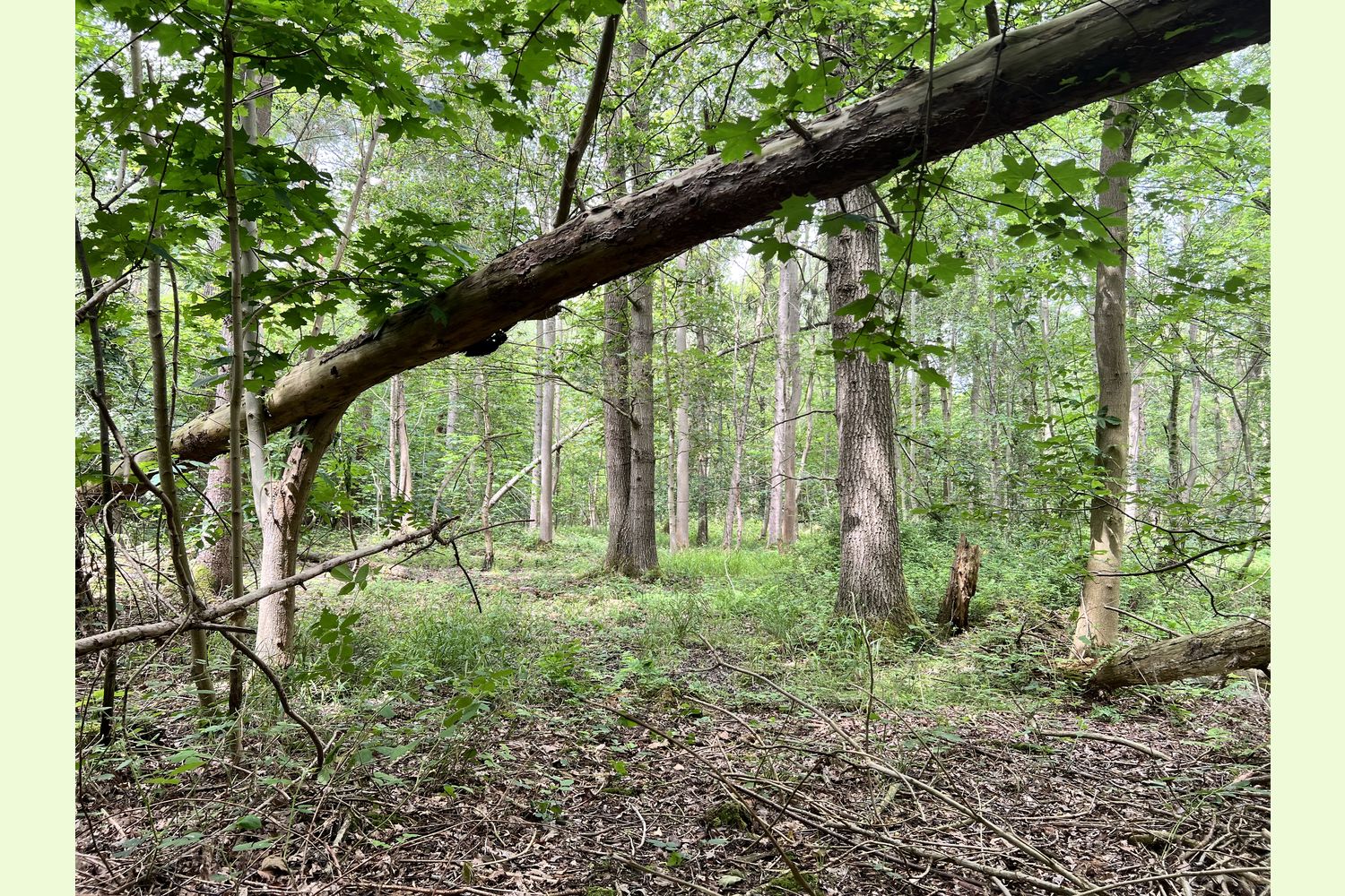
A mixed deciduous woodland with incredible diversity, mainly surrounded by the larger forest; an opportunity for a quiet retreat and perfect for nature immersion.
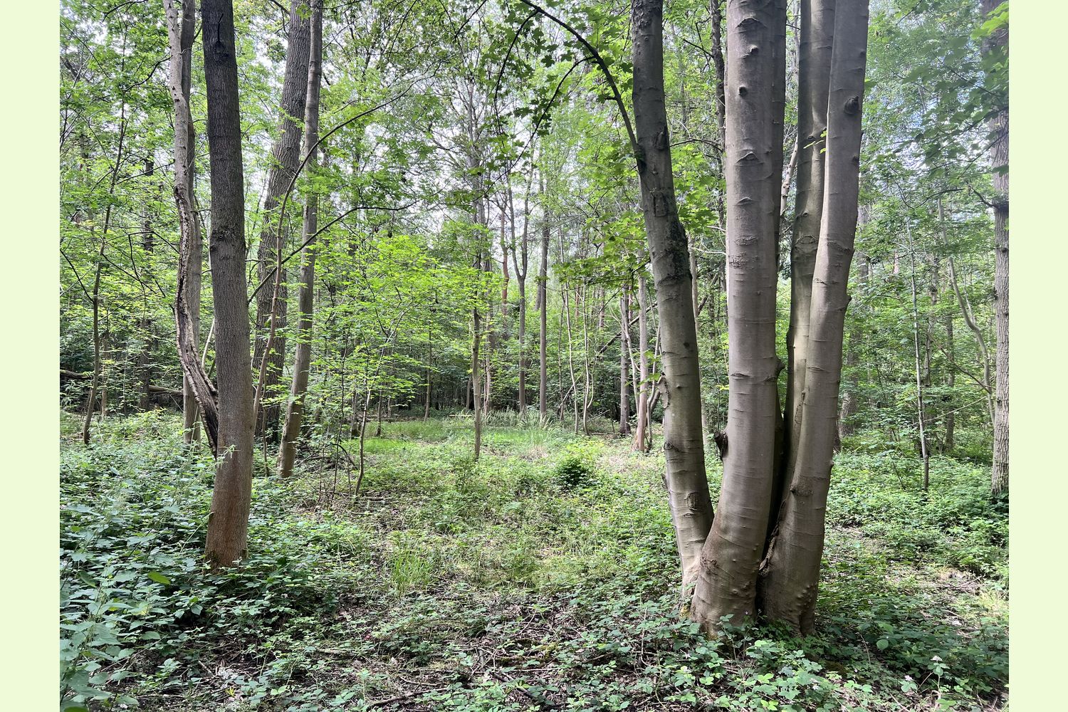
Greenwold Wood is situated near the eastern edge of Cotgrave Forest and is a tranquil, mixed deciduous woodland, rich in wildlife.
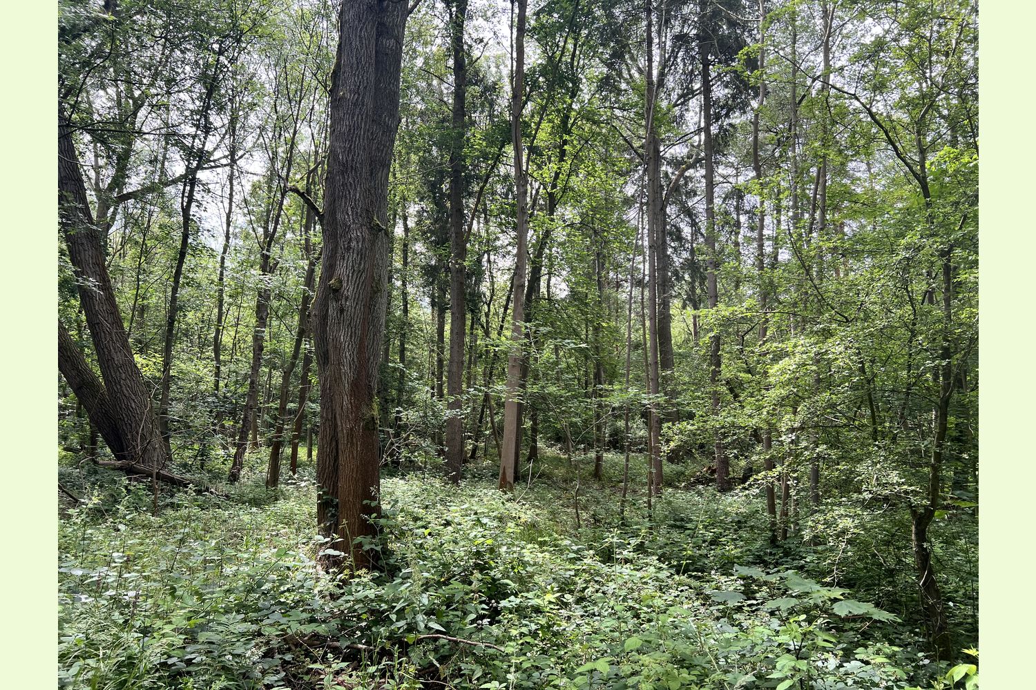
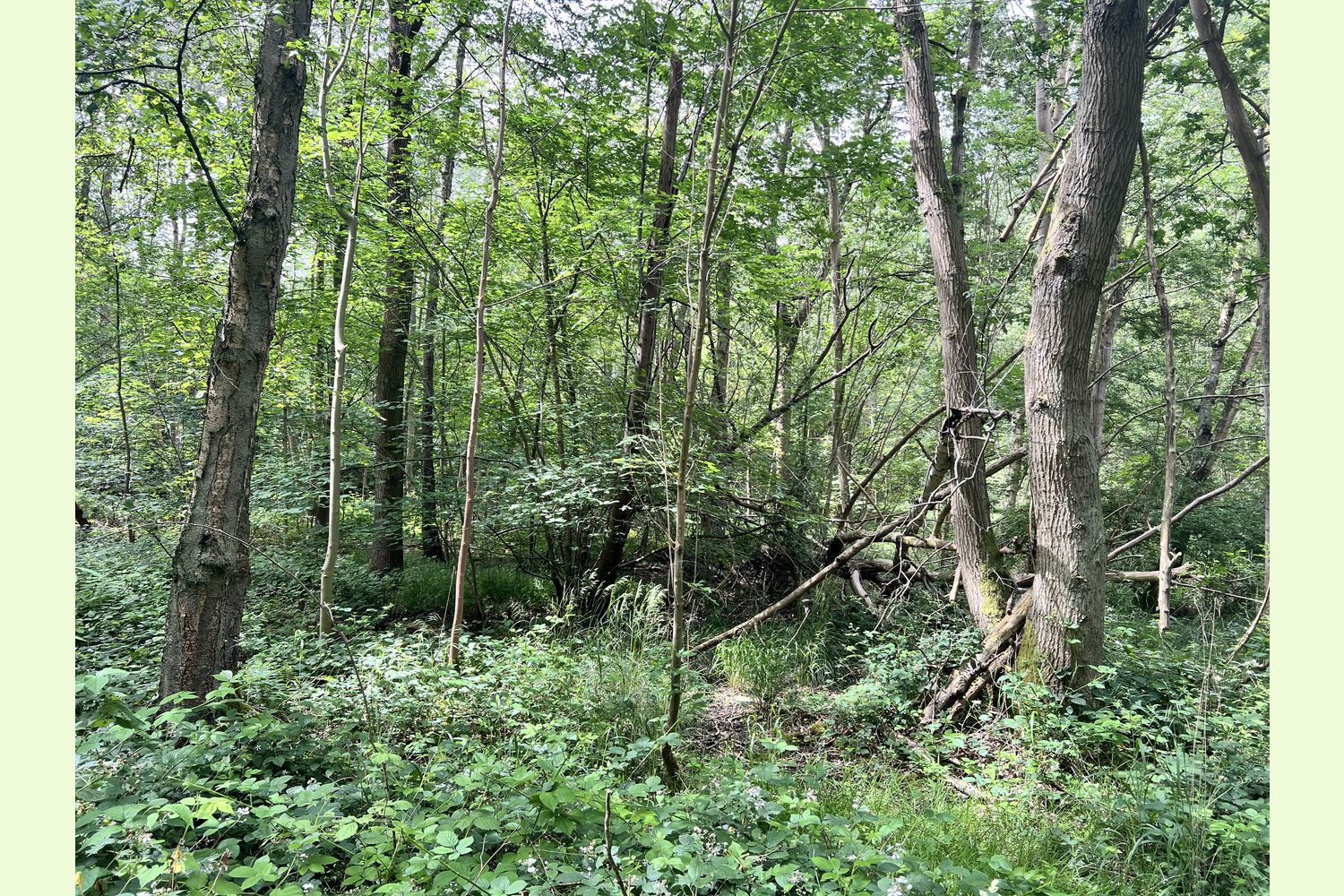
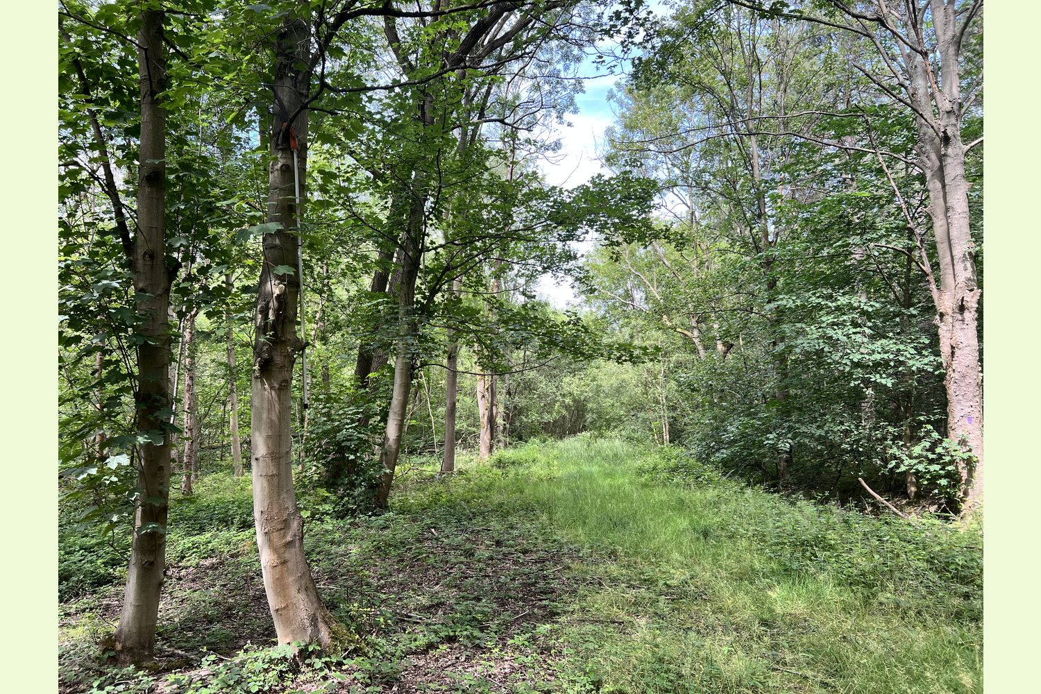
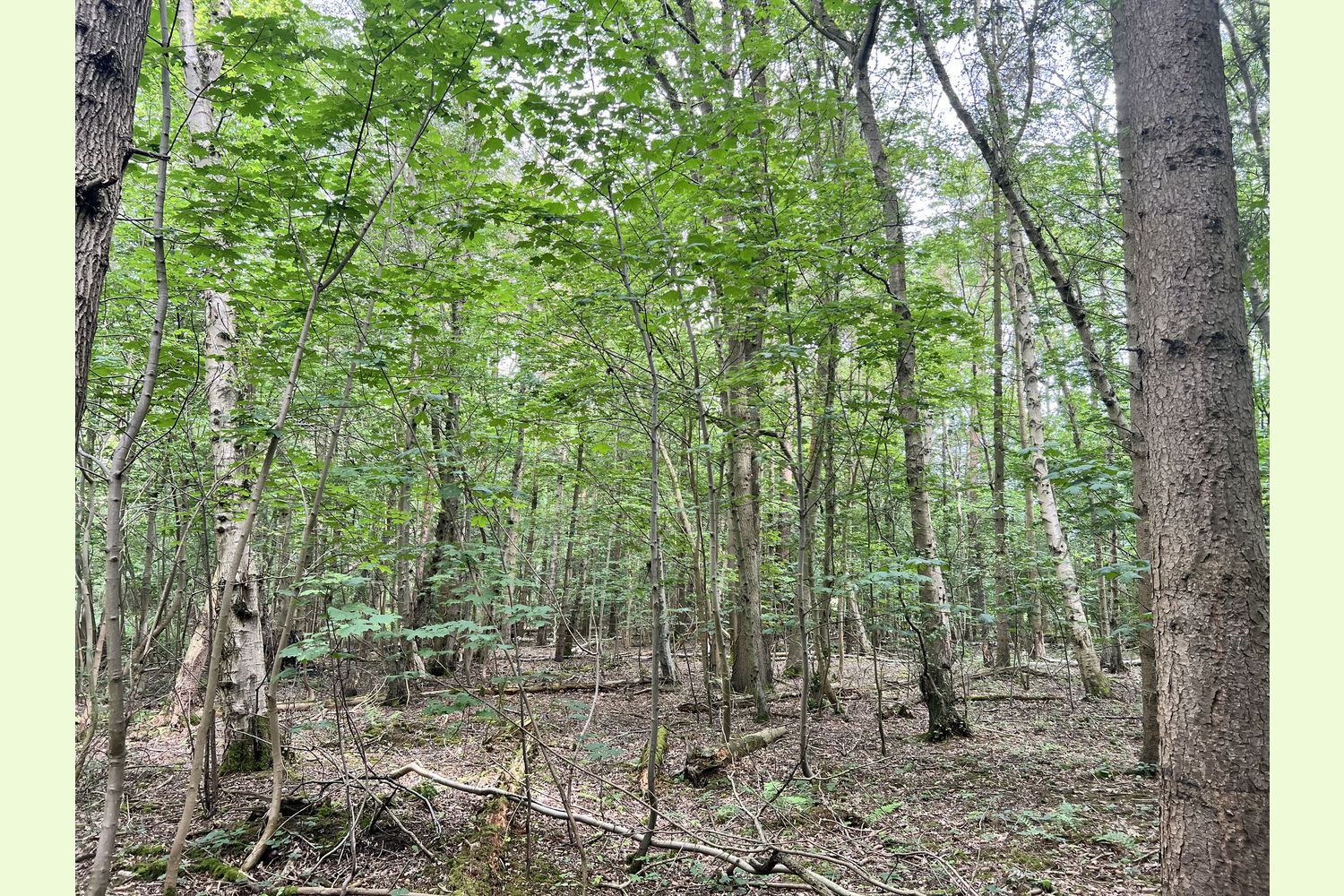
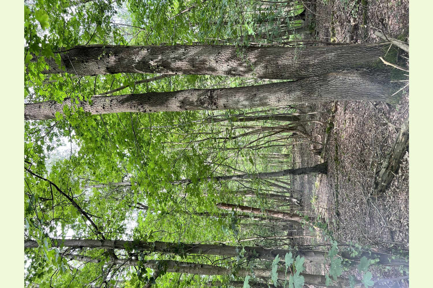
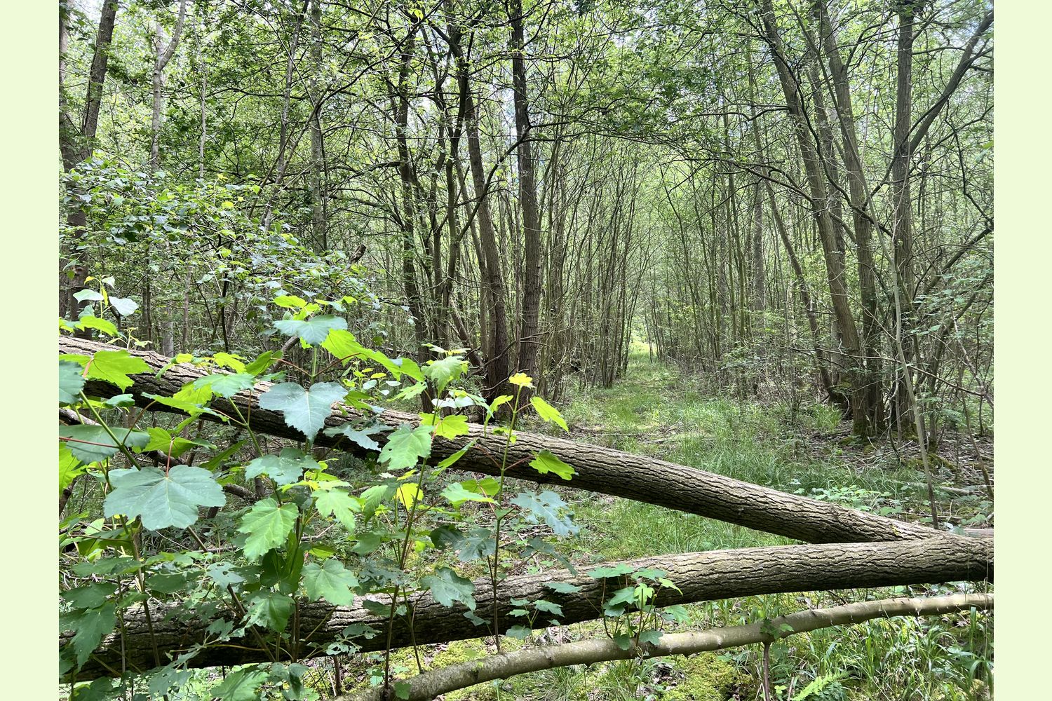
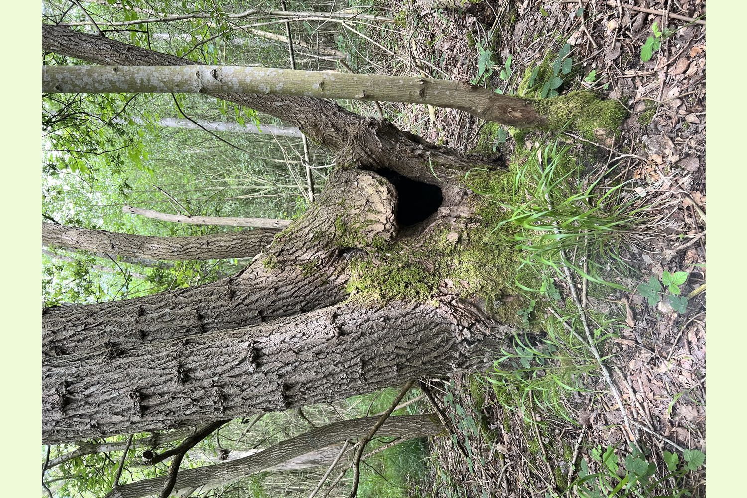
The larger trees in the wood are mostly oak, a corner stone species of a woodland, hybrid poplar and silver birch, with some ash and sycamore too. A dense understorey of coppiced willow, birch, sycamore and ash is dotted through with lime and sweet chestnut, while towards the eastern edge of the wood there is a scattering of conifers adding further diversity.
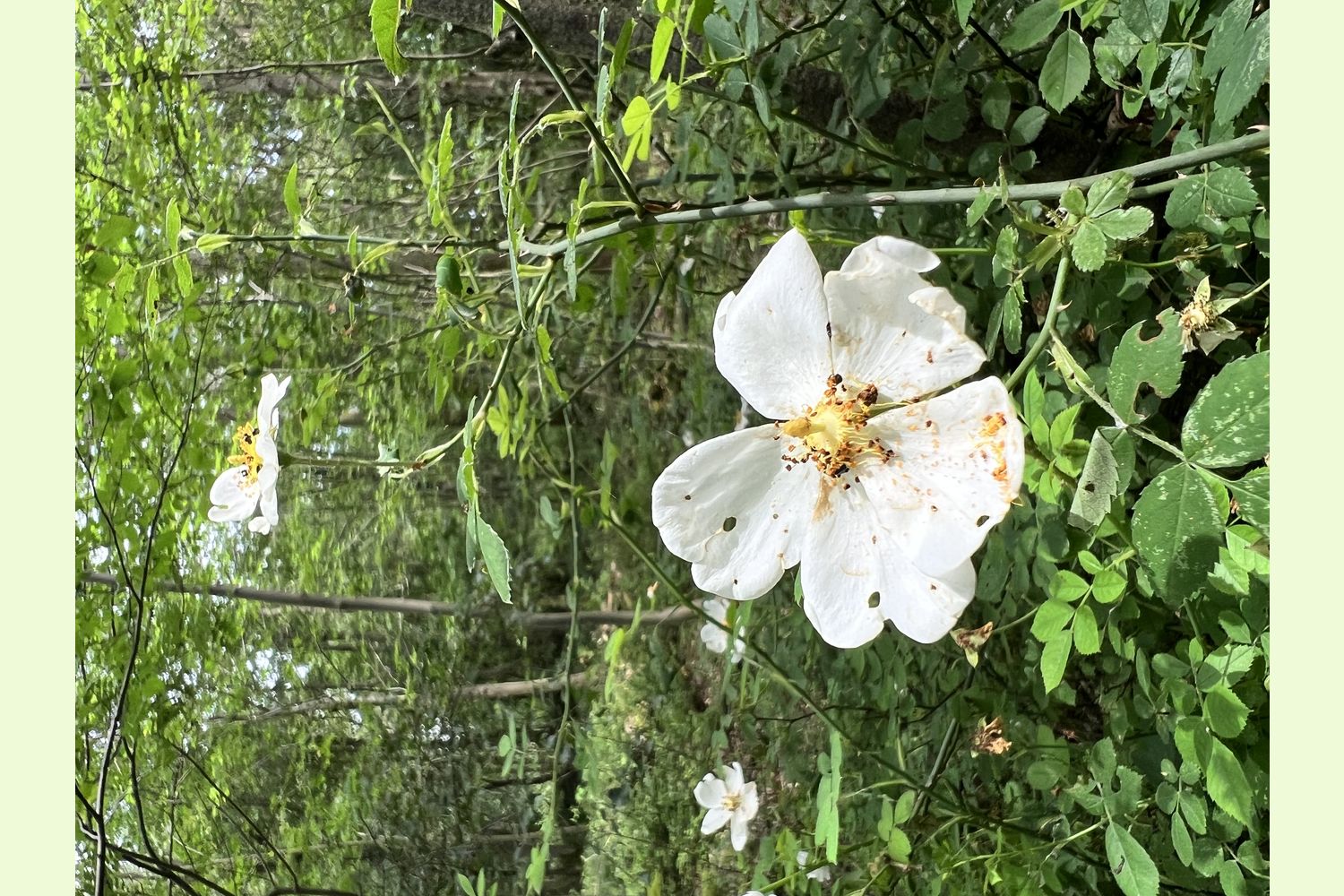
Everywhere, sweetly scented honeysuckle twines and bramble arches to reach the best sunlight; all great cover for wildlife. The wood is criss-crossed with deer trails and the ground is carpeted with feather moss and arum lilies (lords and ladies).
Running along the north eastern boundary is a seasonal beck that provides a welcome watering hole to mammals, amphibians and bird life.
Muntjac and roe deer pass through the forest and their trails are easy to spot through the wood.
Bird life seems ever-present, tits move through the canopy in search of food and the songs of robins and wrens ring out. Buzzards wheel overhead, sometimes low, just above the canopy, at other times high in the clouds.
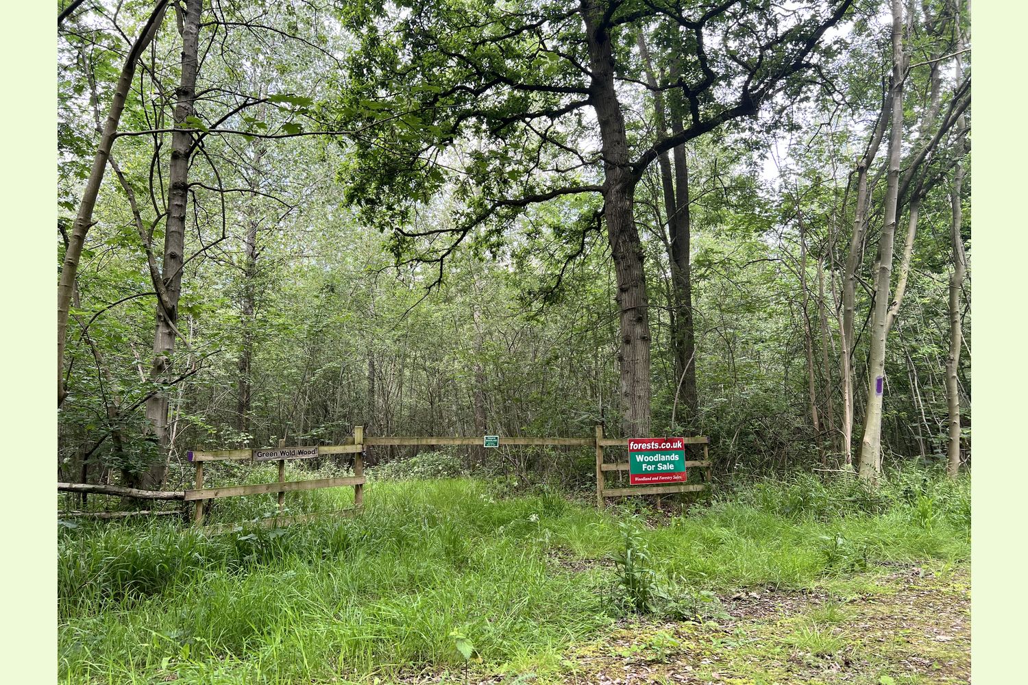
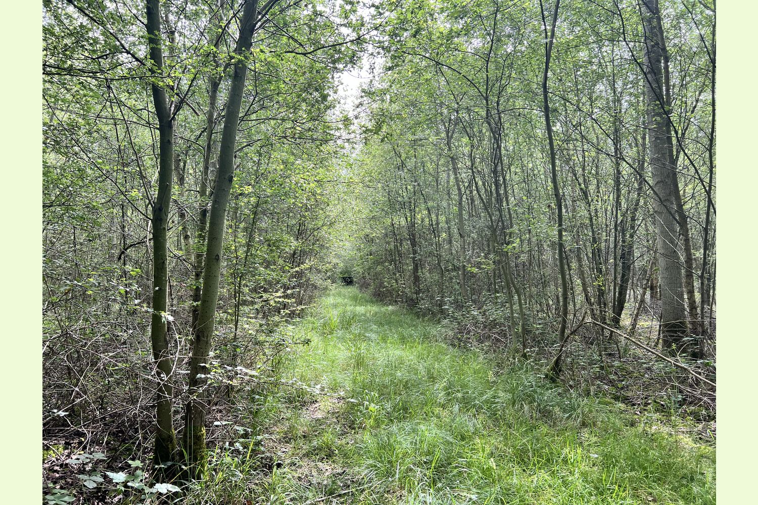
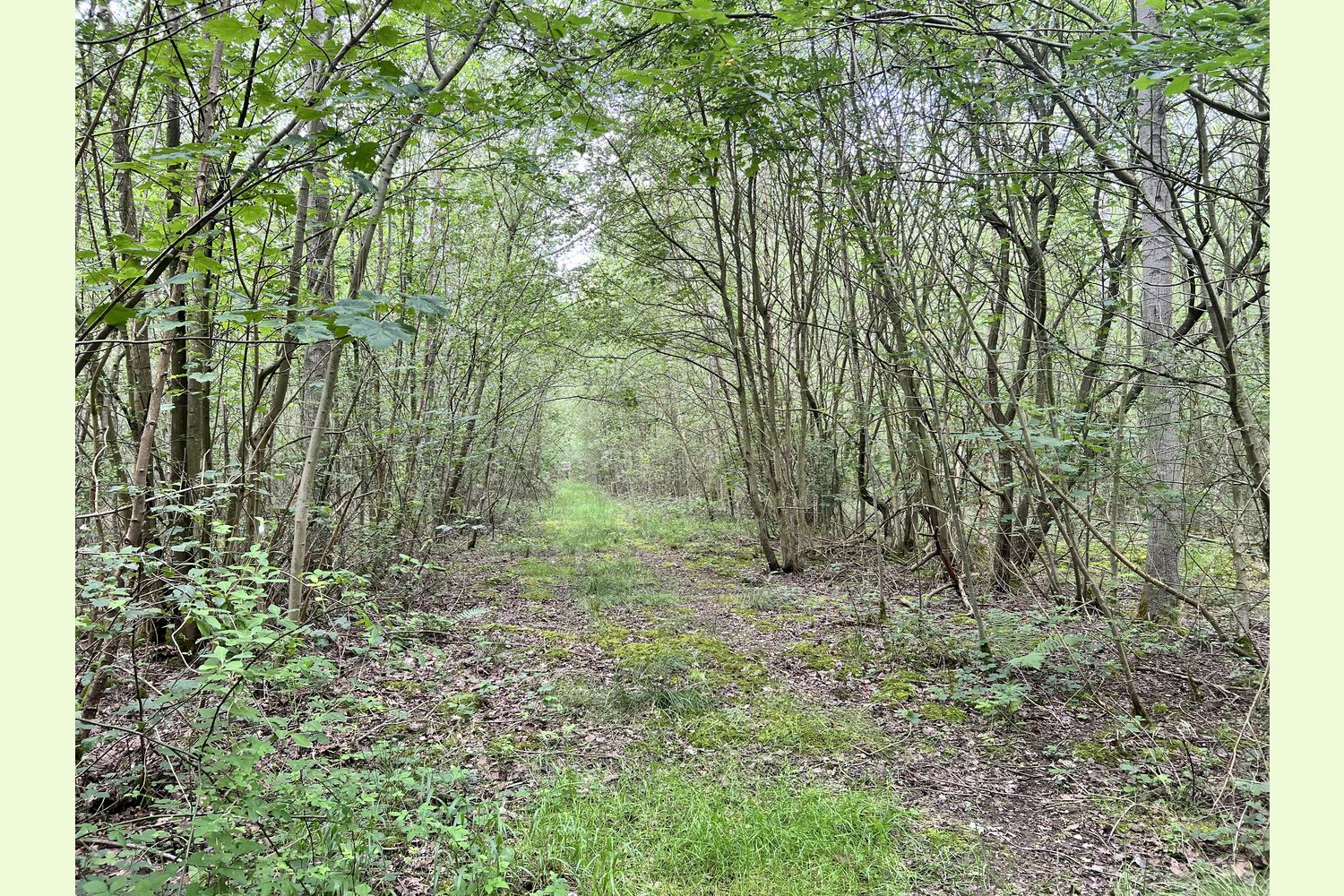
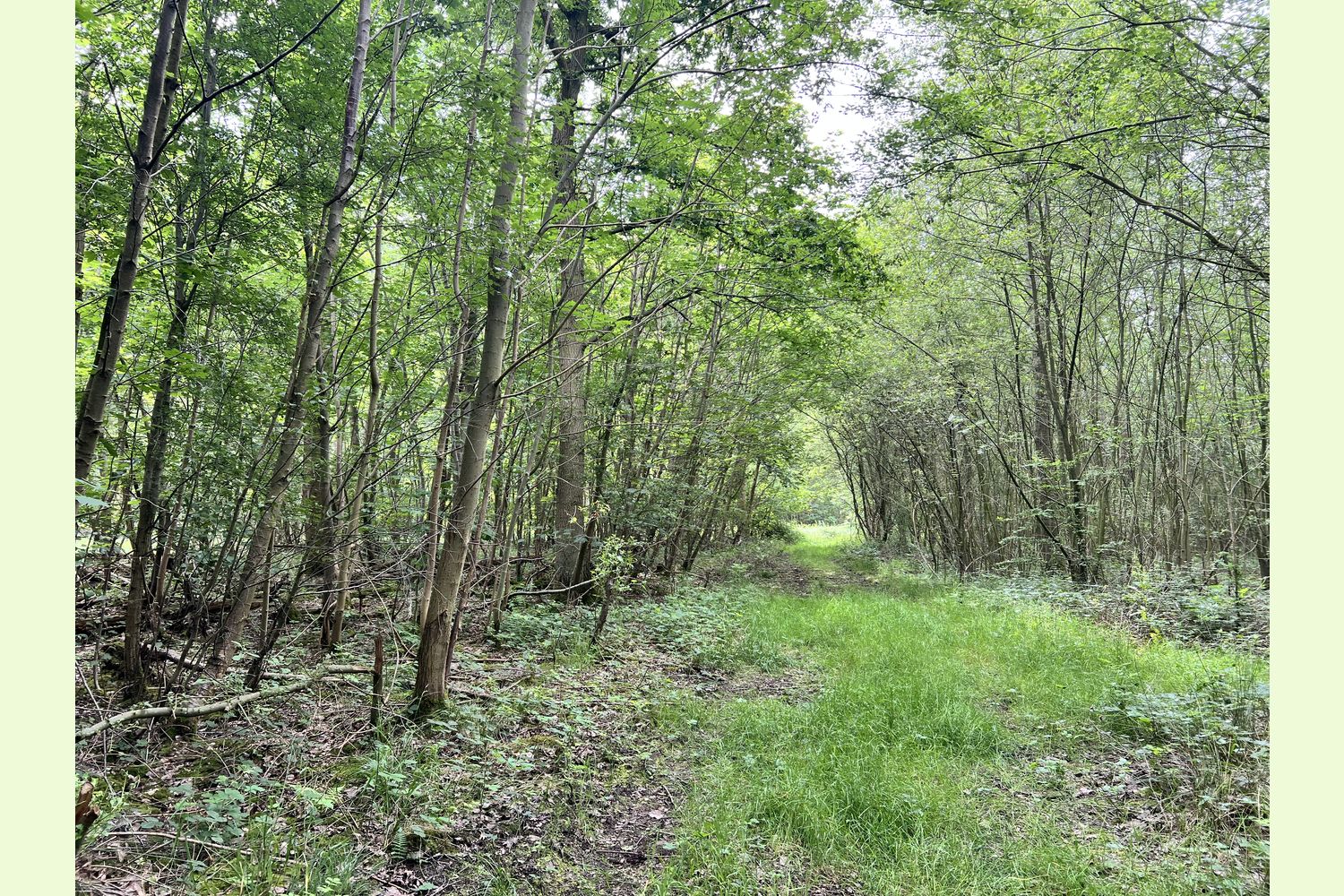
A solid stone track, suitable for cars and 4wd vehicles, leads to the ride-stop entrance of Greenwold Wood. From here, a grass ride runs along the south-eastern boundary. Routes and animal tracks lead through the wood, and the new owner might like to connect some of these up, to increase the network of clear footpaths.
Greenwold Wood is great small wood for conservation and family forestry projects.
The new owner could perhaps selectively fell a few poplars and encourage some of the native trees to grow on as standards. More glades or clearings would benefit the insect life (and in turn, the birds) and could be used for occasional camping or as a base for woodland operations.
Pole wood from the coppiced birch and willow would be useful for woodland structures and dens; the birch also makes great firewood.
The place-name Cotgrave seems to have been derived from the Old English personal name, Cotta with graf (Old English), grove or copse, to make 'Cotta's grove'.
The local area is known as the Vale of Belvoir, meaning ‘beautiful view’, in French. The name was used by the 11th century Norman invaders when the original Belvoir Castle was established, but the native Anglo-Saxon population was unable to pronounce such a foreign word, preferring to call it "Beaver Castle" and this pronunciation is still used today. The area’s most famous produce includes Stilton cheese and Melton Mowbray pork pies, both area ideal for a picnic in the woods.
Our Maps (Click on a map to see a large version)
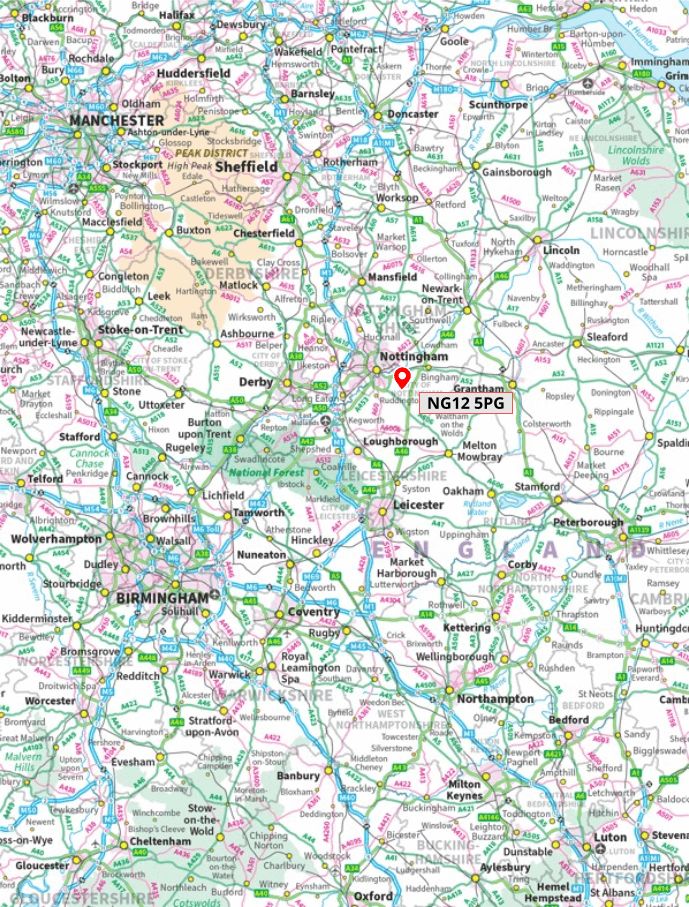
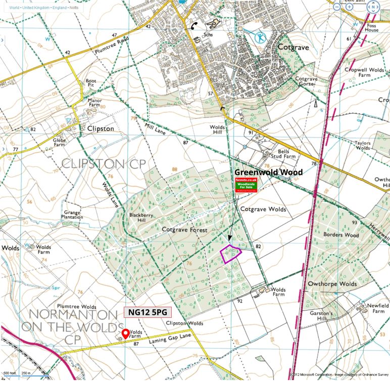
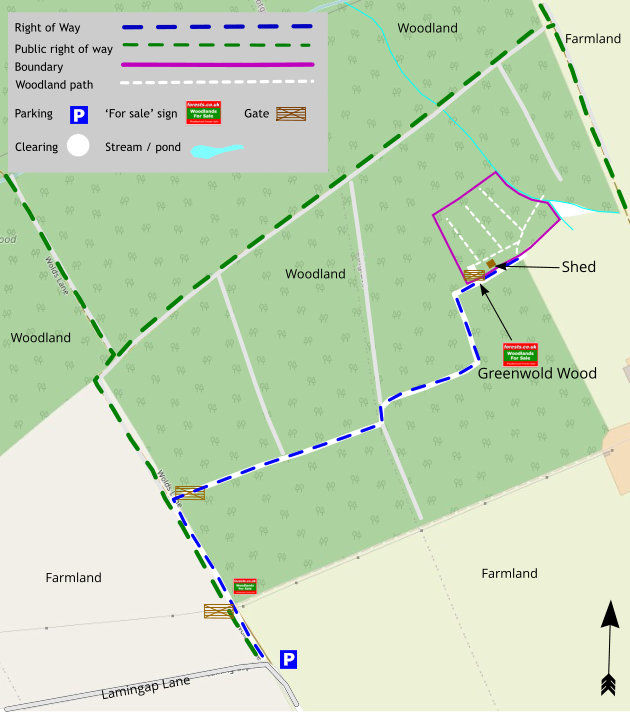
Our Maps
Directions
Just 10 miles from the centre of Nottingham and 20 miles north of Leicester.
Directions.
From the South:-
- Travelling along the A46 turn on to the A606 signed to Nottingham.
- Pass the left turn to Widmerpool.
- Continue straight on through Stanton-on-the-Wolds.
- Immediately after leaving Stanton-on-the-Wolds turn right into Laming Gap Lane.
From the West:-
- Travelling along the M52 turn on to the A606 signed to Melton.
- Go under the railway and through Tollerton.
- Go straight on at the traffic lights.
- Pass two left turns to Normanton.
- Immediately before Stanton-on-the Wolds village sign turn left onto Laming Gap Lane.
Laming Gap Lane:-
- Pass Wynnstay Cottage on the left and proceed to a sharp right hand bend.
- Park in the lay-by at this point.
- Cotgrave Forest is 100 metres north east along Wolds Lane.
- Walk round the green entrance barrier and continue along the track (Wolds Lane)
- Continue for 200 metres before taking a right turn onto the recently surfaced track.
- Climb the wooden fencing to the left or right of the temporary barrier and walk along the track for 350 metres doglegging to the right around the small pond half way.
- at the junction turn left then right after 30 metres.
- Proceed for about 170 metres before turning left continue to the t junction and turn right. Greenwold Wood is located to the left of the track.
Please note: the particulars with plans, maps, descriptions and measurements are for reference only and although carefully checked we cannot guarantee their accuracy and do not form part of any contract. Any intending purchasers must satisfy themselves by inspection or otherwise as to the correctness of these particulars.
Location maps
View and print this wood's location on Bing Maps »
Interested in this woodland? Get in touch with us:
Contact Liz & Dan Watson on 07970 116 515 or email us at [email protected] with your details.