Lower Chalybeate Wood - Sold
Details for this wood
Guide price: £45,000 - Freehold
Size: About 4¼ acres
Location: Kilndown, Kent
OS Landranger: 188
Grid ref: TQ 704 341
Nearest post code: TN17 2RP
Contact: Ben Williamson
Phone: 07958 213 914
Email: [email protected]
Email to a friend
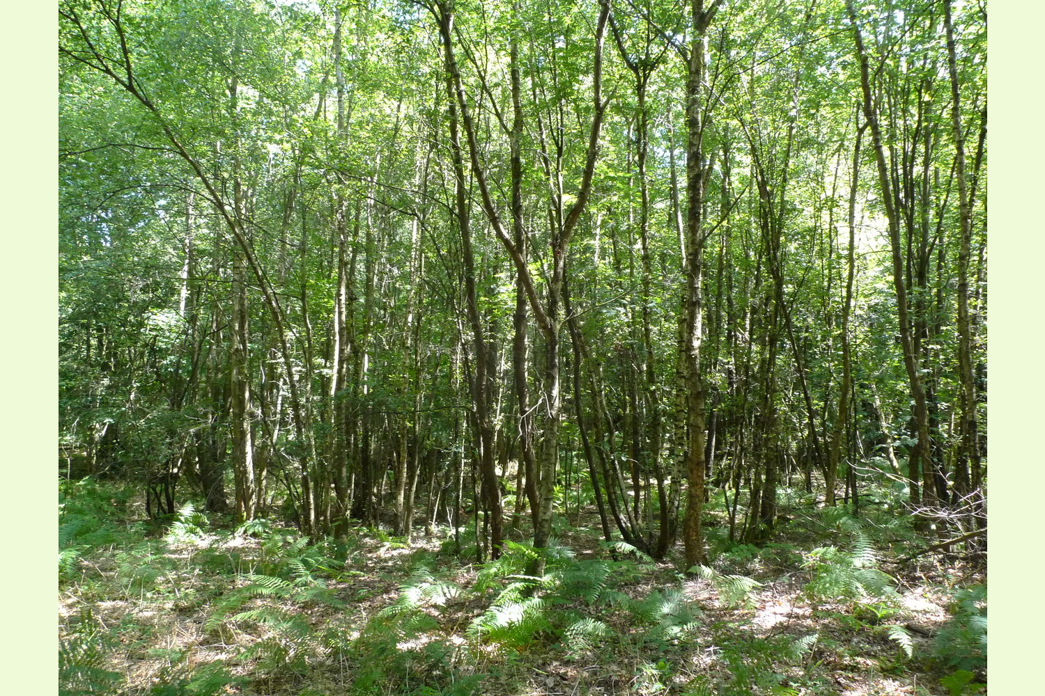
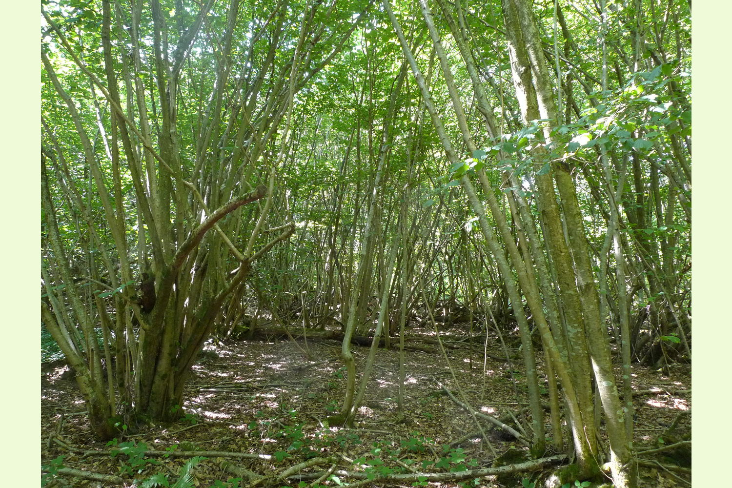
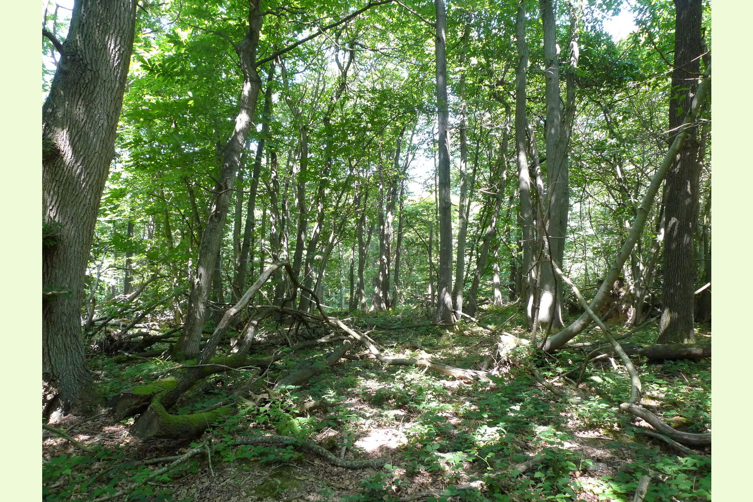
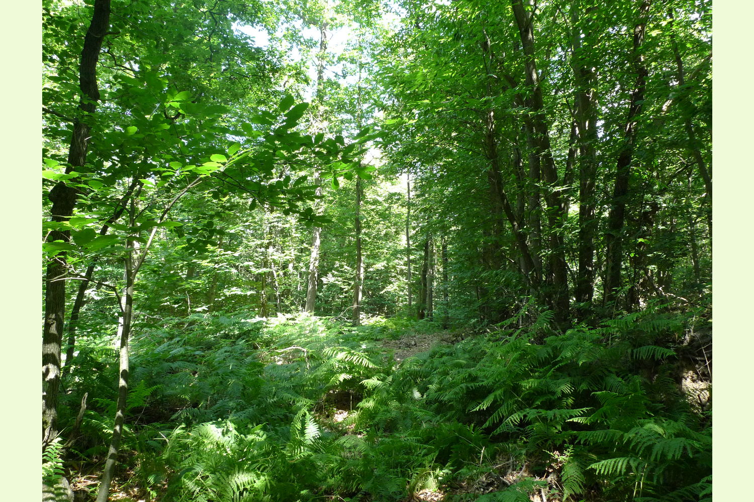
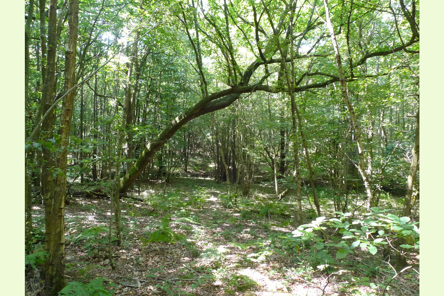
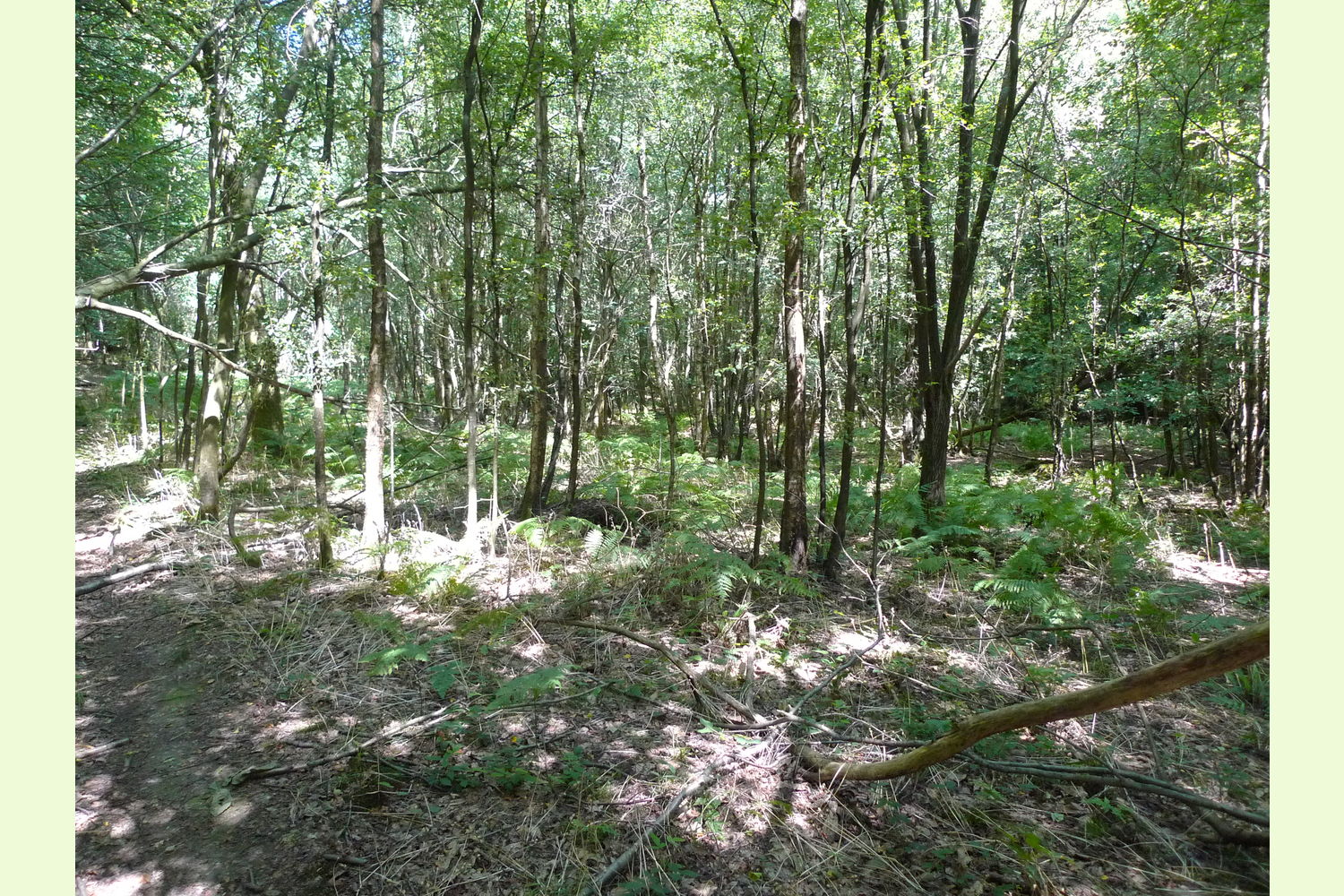
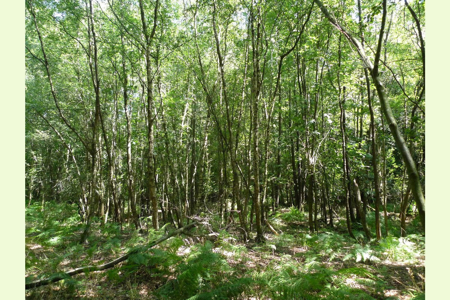
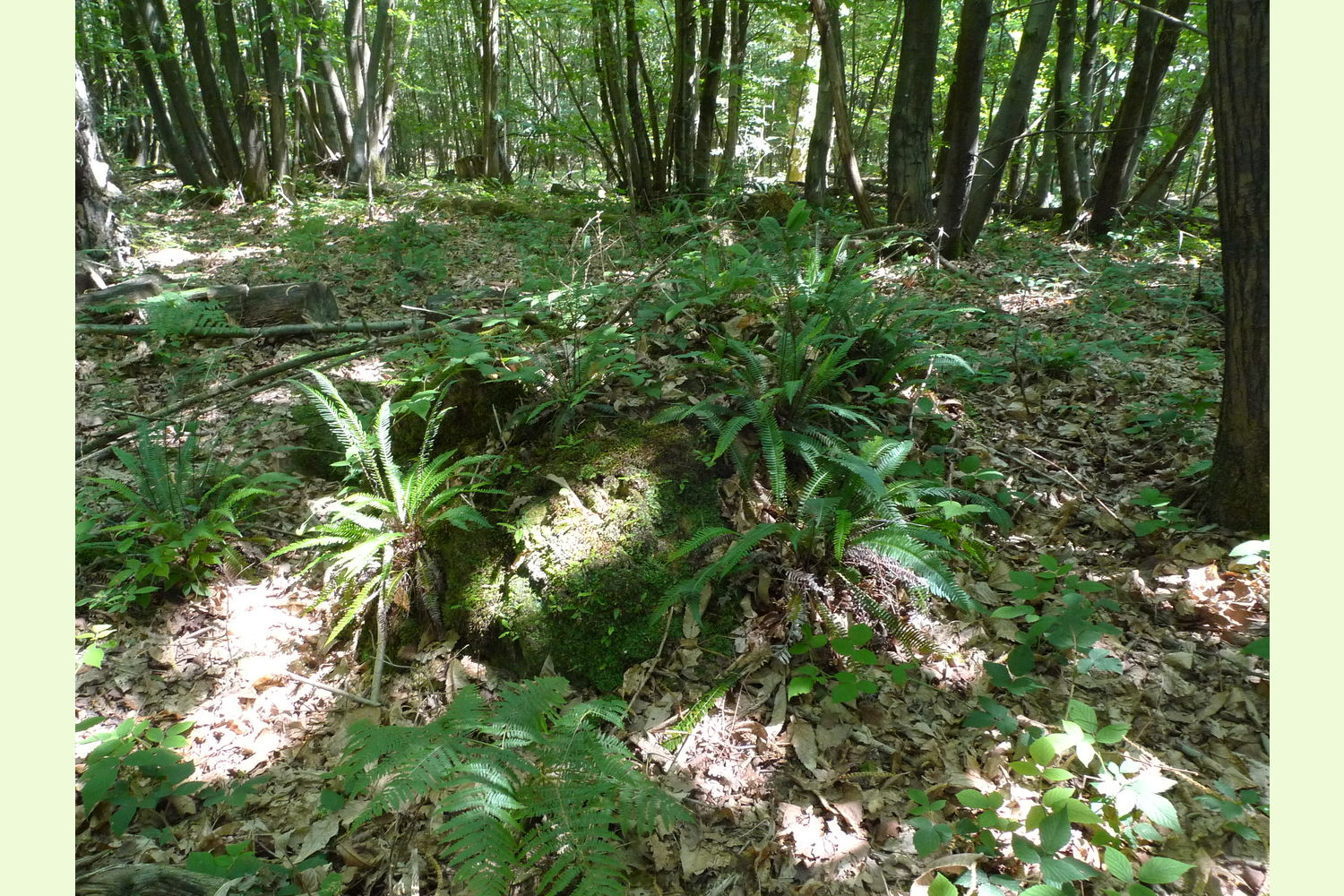
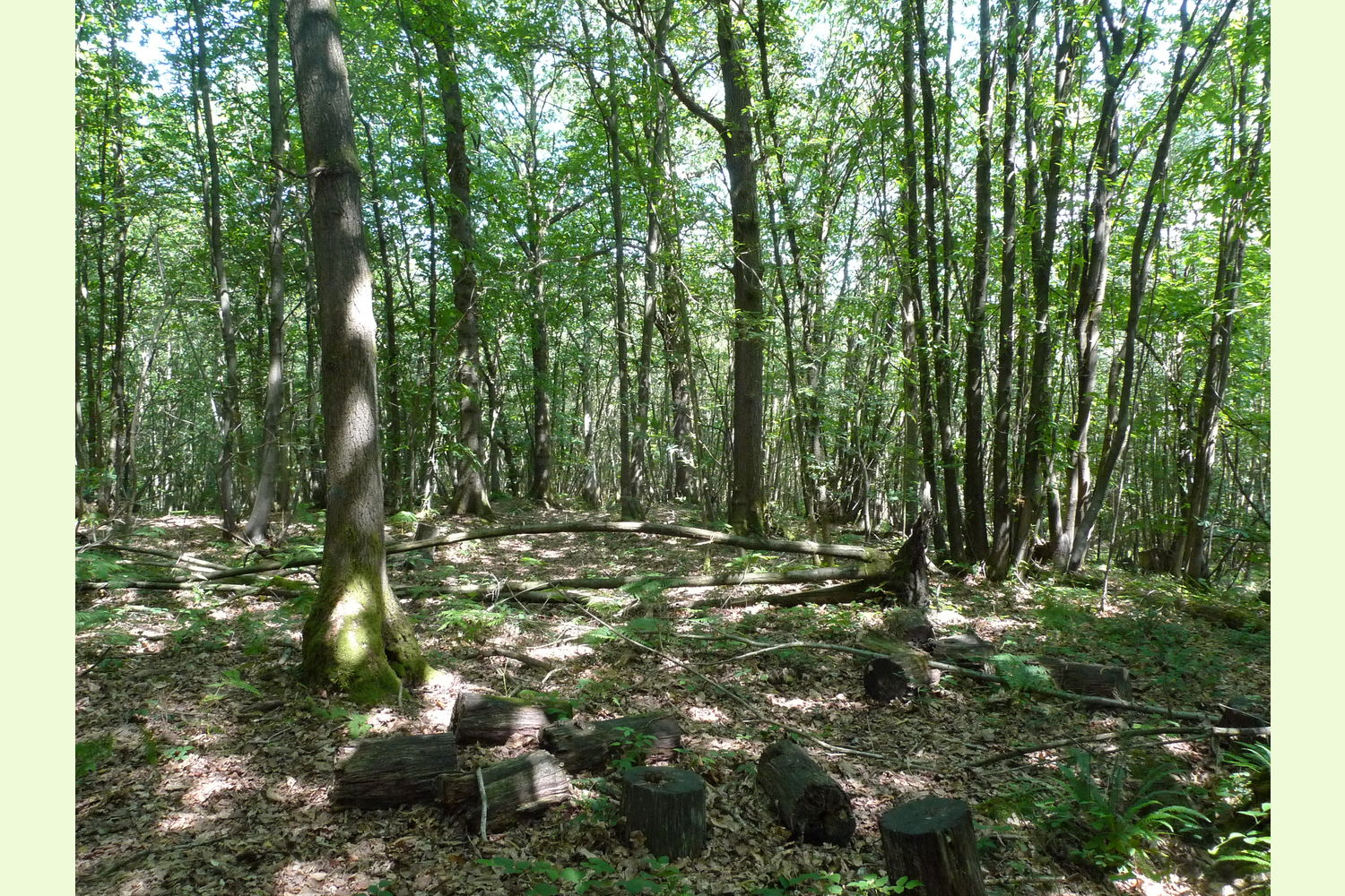
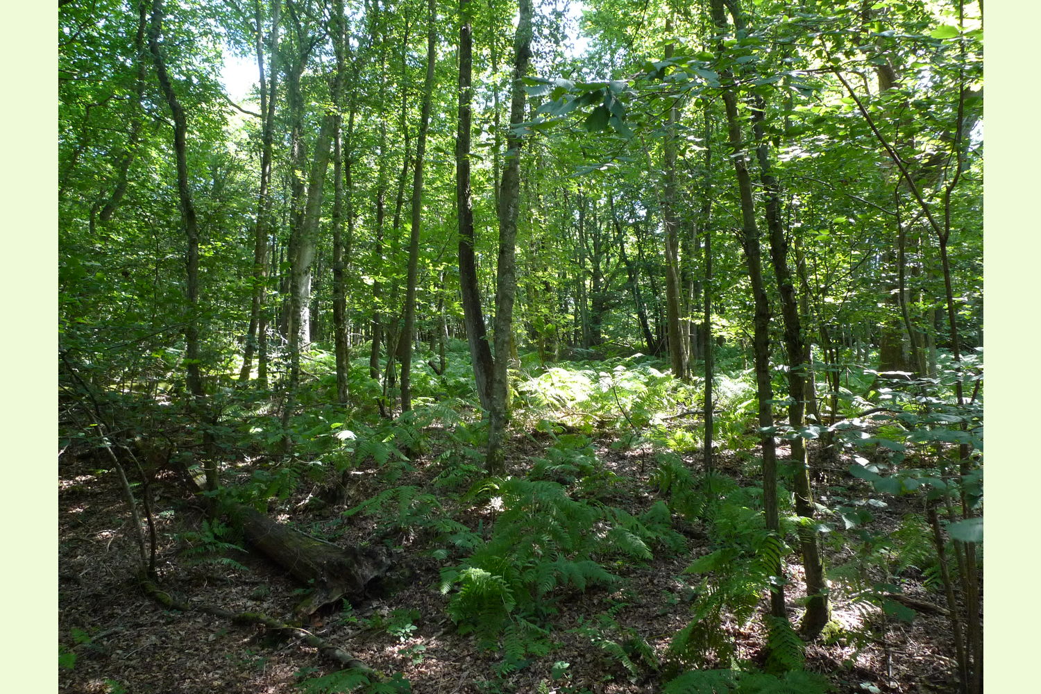
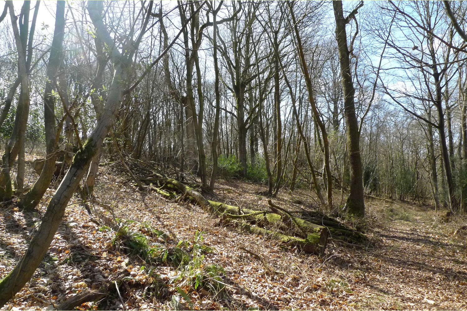
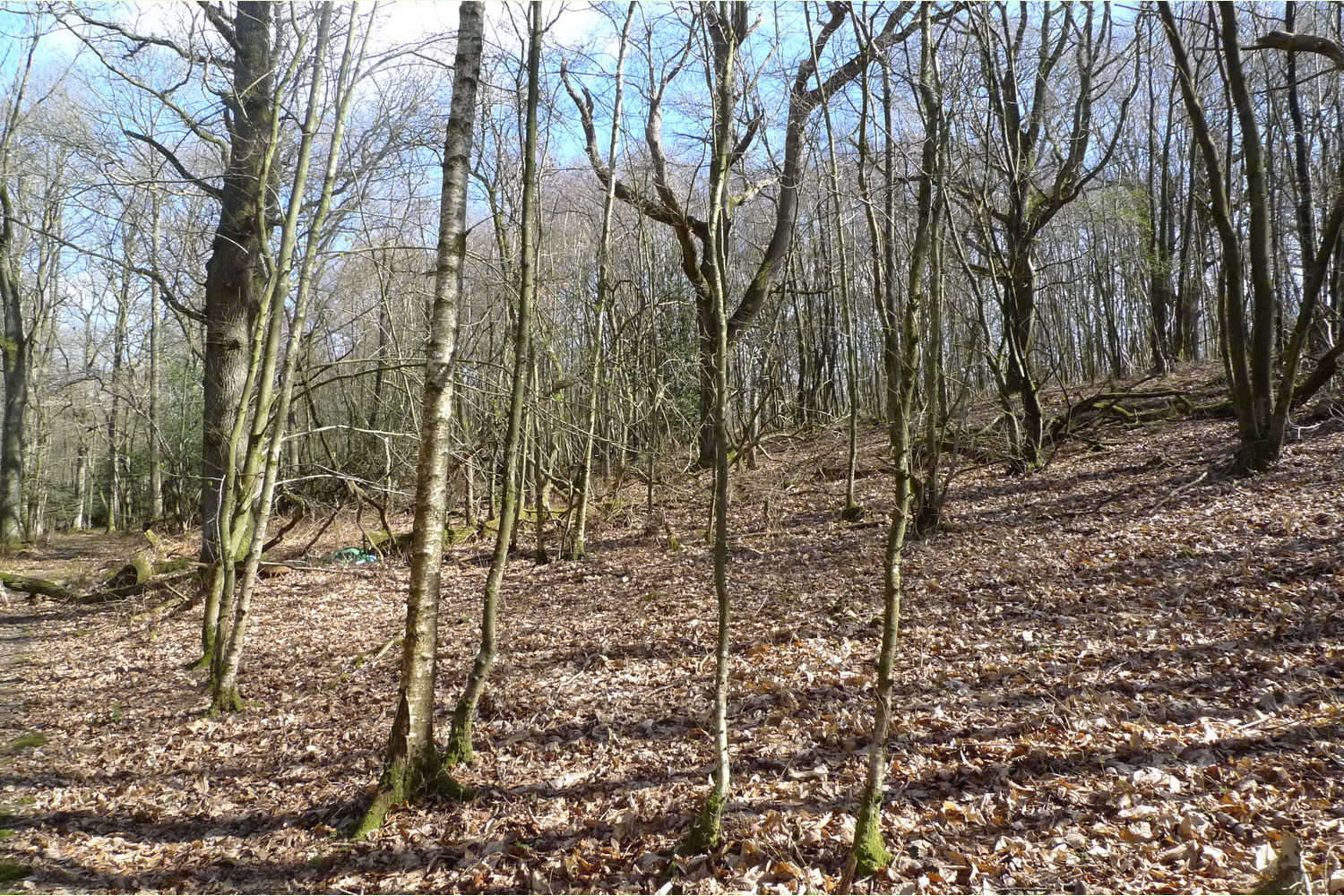
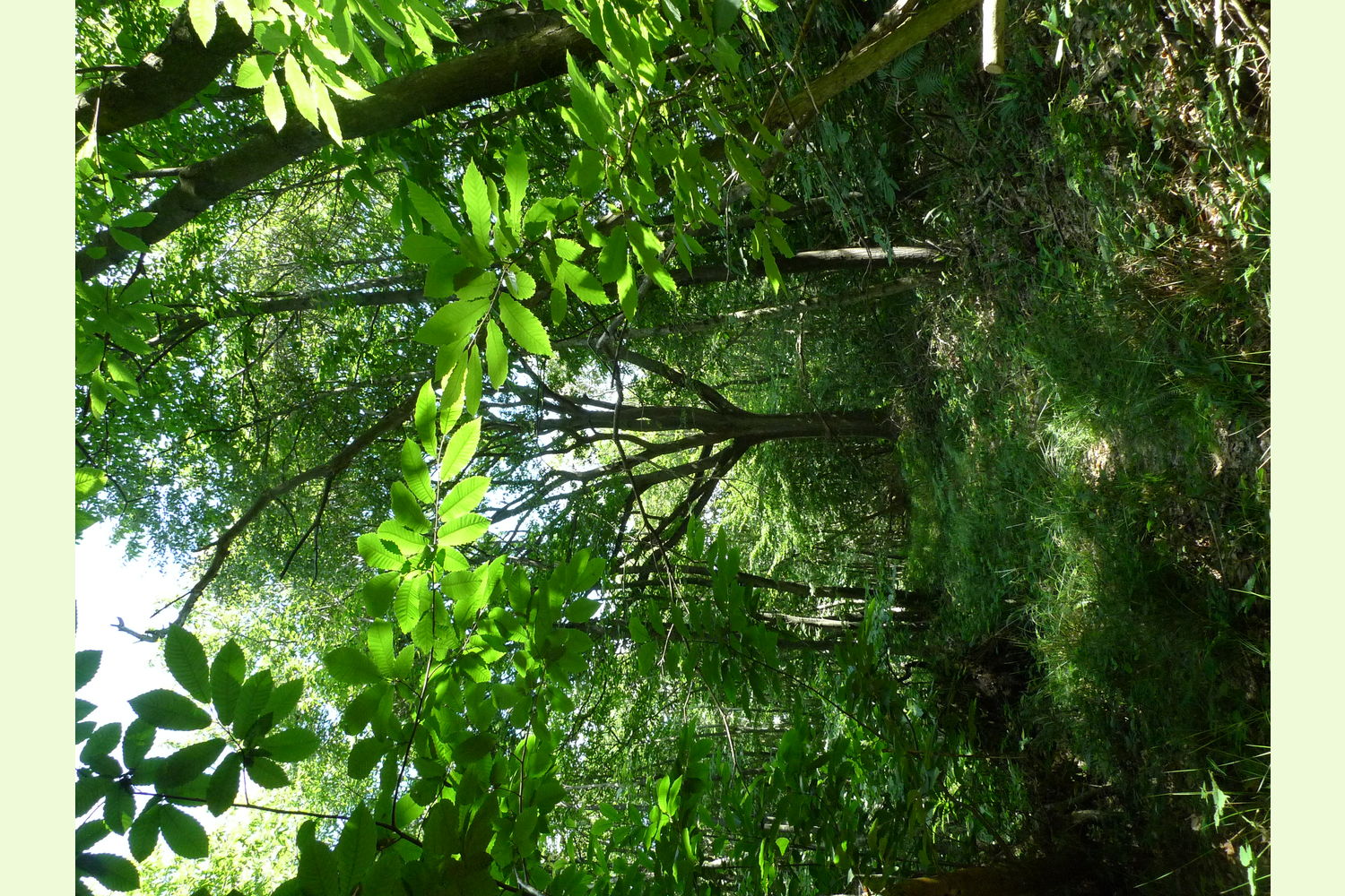
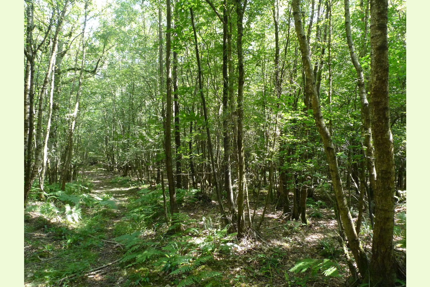
Description Lower Chalybeate Wood is set on the gentle west facing slope of a small valley, between two woodland tracks. Part of the larger SSSI semi-natural ancient Combwell Wood as expected there are extensive areas of spring flowers including bluebells and wood anemone . The wood is classified as a site of special scientific interest, Click here for information on the SSSI.
Guidance for the management for these valuable habitats has been provided by Natural England and can be access by clicking here, Management recommendations from Natural England. The woodland here hosts a good community of woodland owners, cooperating and enjoying the help and assistance from Natural England to manage their woods.
Locally there are streams rich in iron and other minerals, a description can be read by clicking here Chalybeate.
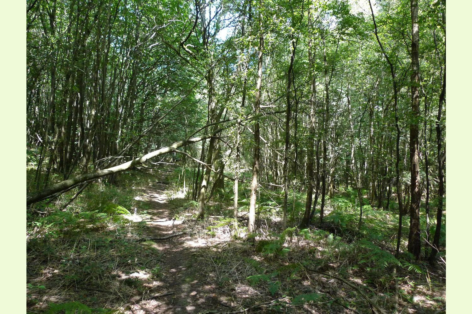
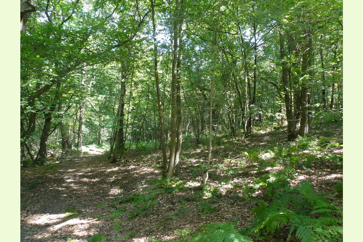
Wide-spreading oaks with hazel and chestnut coppice below, this is a fine Kent woodland where the wildlife and wood products can be managed and enjoyed.
Sporting rights: are included
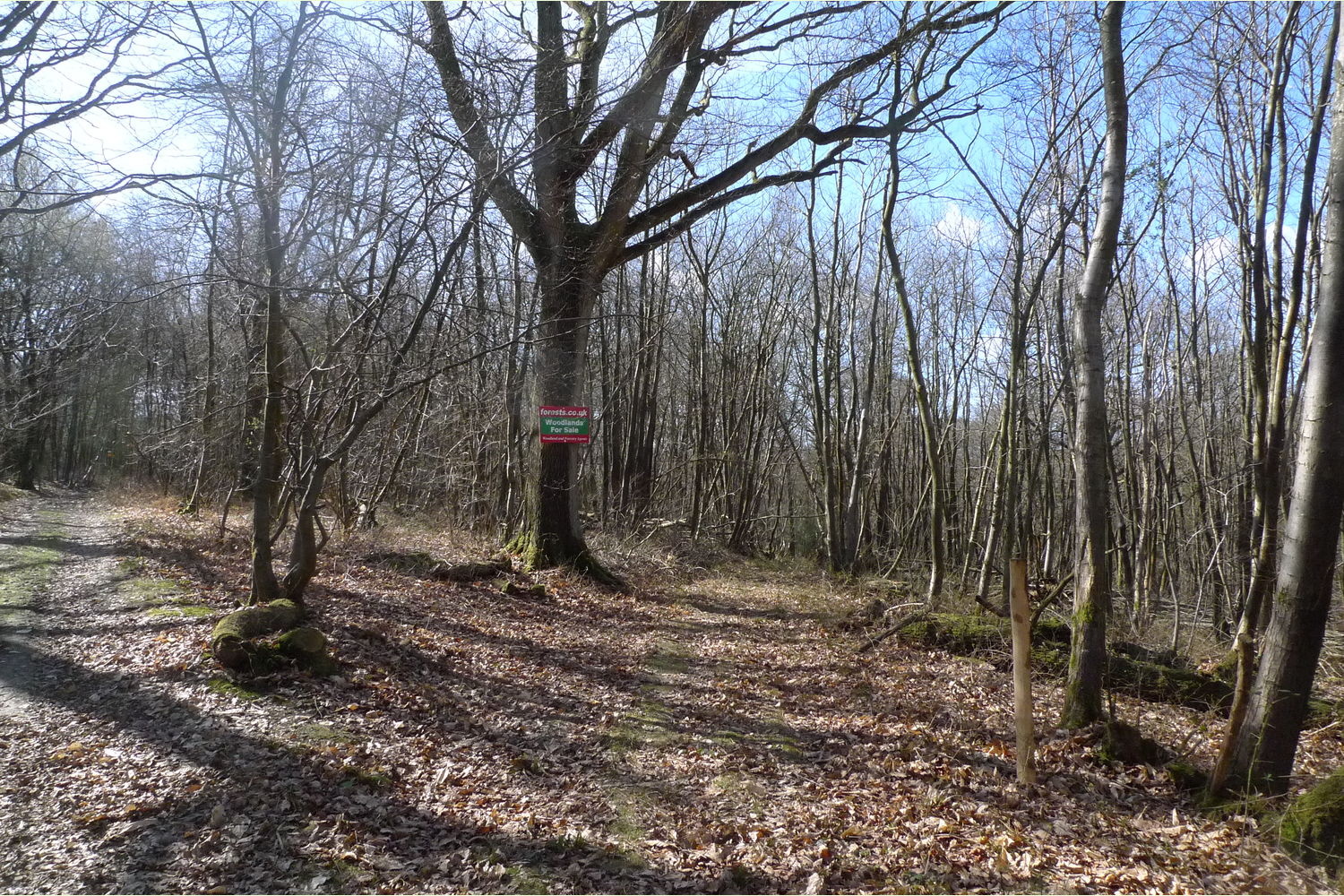
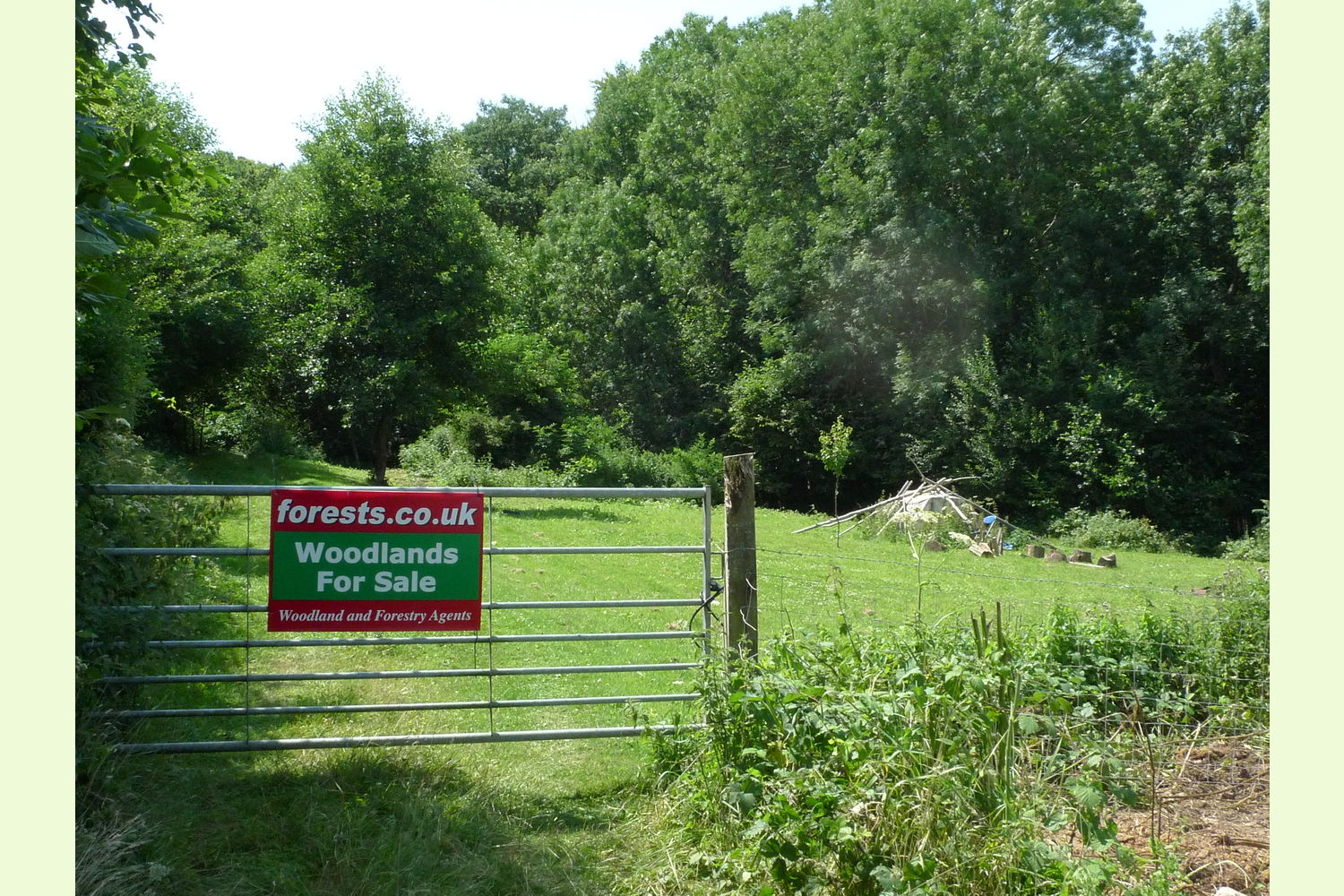
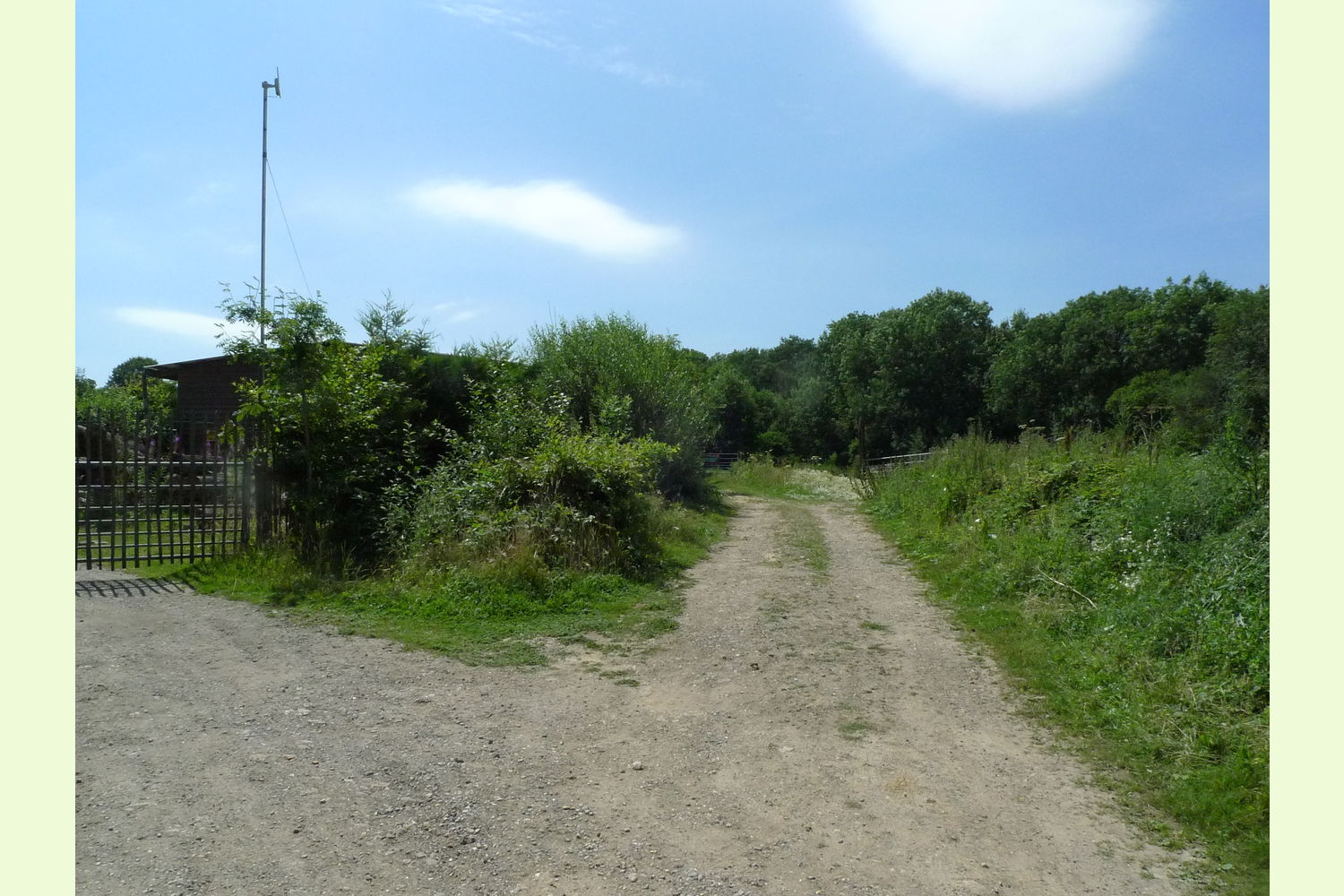
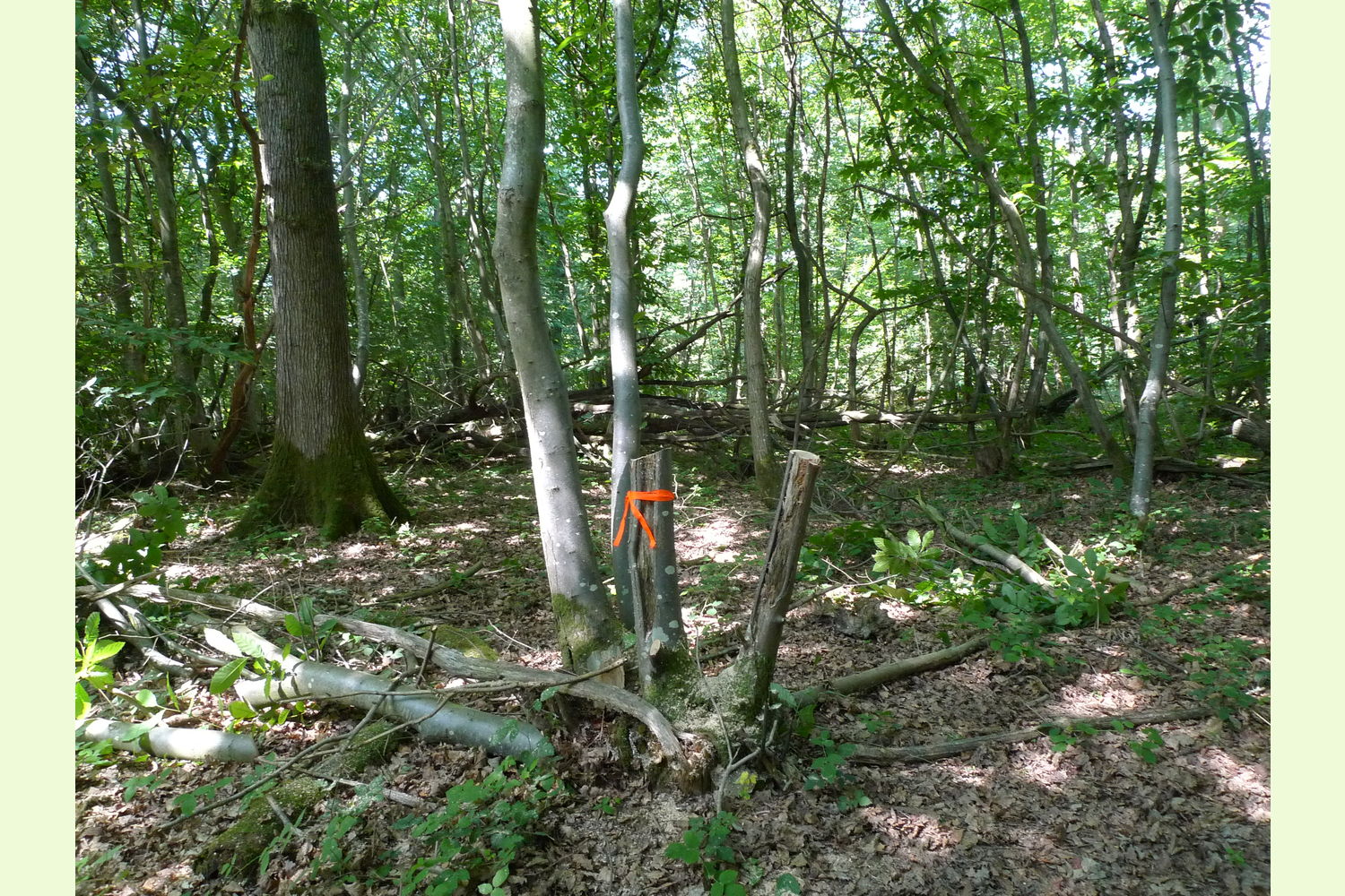
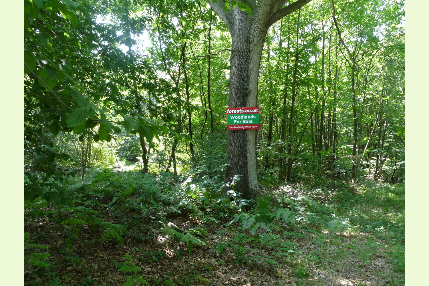
Access: from Rogers Rough Road along a hard track to a metal access gate, then over a stream keeping right at the next fork. Walk up the slope, until you get to the 'for sale' sign on the tree where the track splits. This is the start of Lower Chalybeate. There is a right of way for all purposes and at all times along this track and the one alongside the wood with shared maintenance according to use made.
Boundaries: are the edges of the tracks either side of the wood and to the south a straight line between two wooden posts. The lower, west end, of this line meets the confluence of the track and stream.
Please note, none of these woods are suitable for residential development, other uses such as summer camping may well be suitable.
Viewing: You are welcome to visit this wood by yourself, but please ensure that you have a copy of these sales details with you - many of our woodlands do not have mobile phone reception or internet access so we recommend either printing the details or downloading them to your phone/tablet/laptop.
Please take care when viewing as the great outdoors can contain unexpected hazards and woodlands are no exception.
Maps are : © Crown copyright and database rights 2020 OS Licence no.100057987
Our Maps (Click on a map to see a large version)
Our Maps
Directions
Lower Chalybeate Wood is just east of Kilndown and about 10 miles south of Tunbridge Wells.
Click here for Bing Maps Directions enter your own postcode, entrance coordinates are already entered, and click on the "Directions" box.
From Rogers Rough Road pass through the open double gates, (wood sign here for "Combwell Meadows Farm") along the stone track, pass Combwell Meadows Farm on the left, and stop before the 'for sale' sign on the locked metal gate. Park here to one side, please do not block the gate.
Climb the gate, walk up the track, over the stream, keeping right, up the hill and at the next 'for sale' sign you have reached the start of Lower Chalybeate Wood. There is a red stake marking the extent of the wood along each of the tracks which border the wood.
Satnav: the postcode TN17 2RP is for the point shown by the red dot on the location maps. Coordinates for satnav are: N51.086231, E0.438091
Please note: the particulars with plans, maps, descriptions and measurements are for reference only and although carefully checked we cannot guarantee their accuracy and do not form part of any contract. Any intending purchasers must satisfy themselves by inspection or otherwise as to the correctness of these particulars.