Sunny Corner - Hampshire
Details for this wood
Guide price: £80,000 - Freehold
Size: About 4 acres
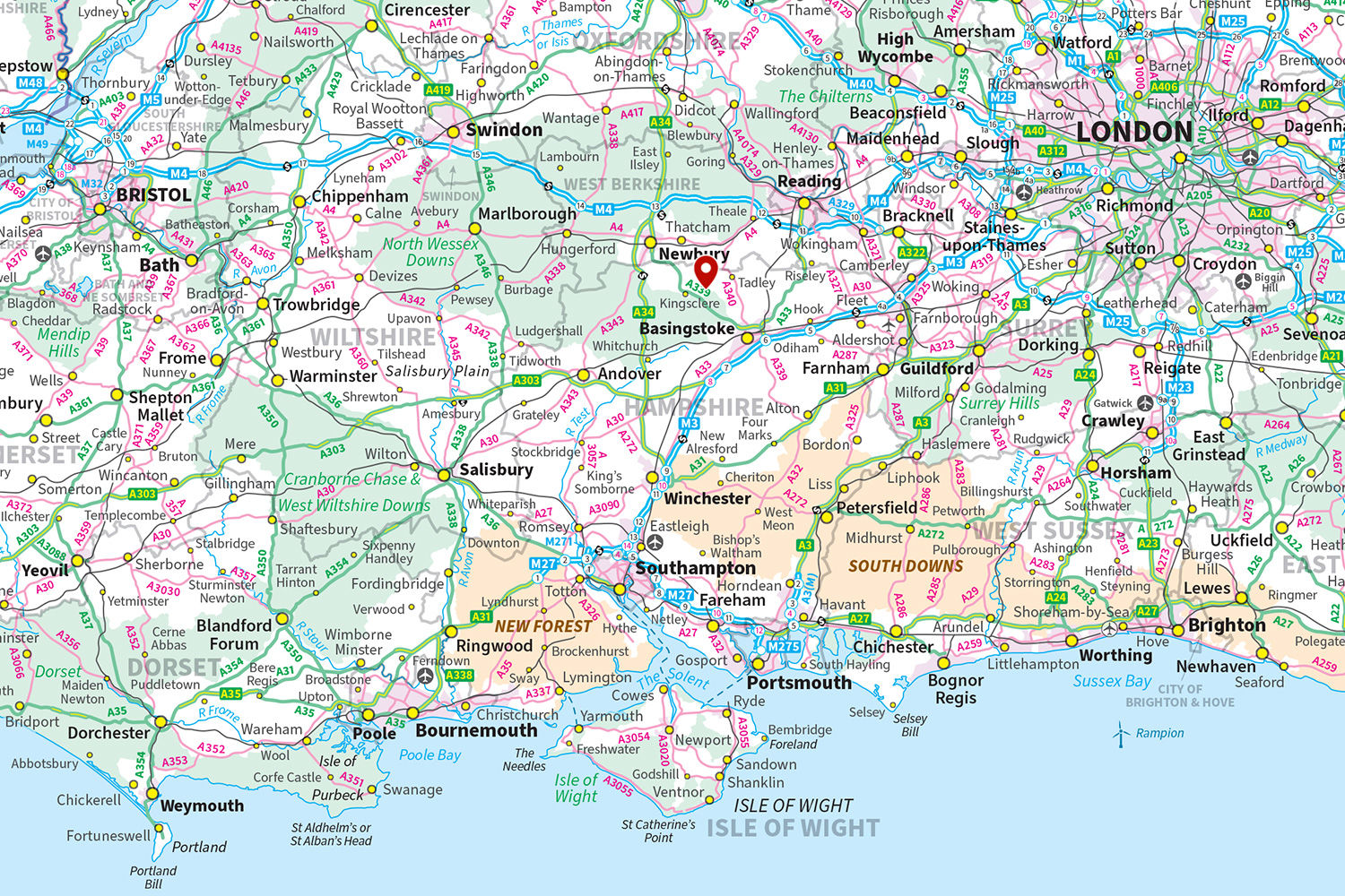
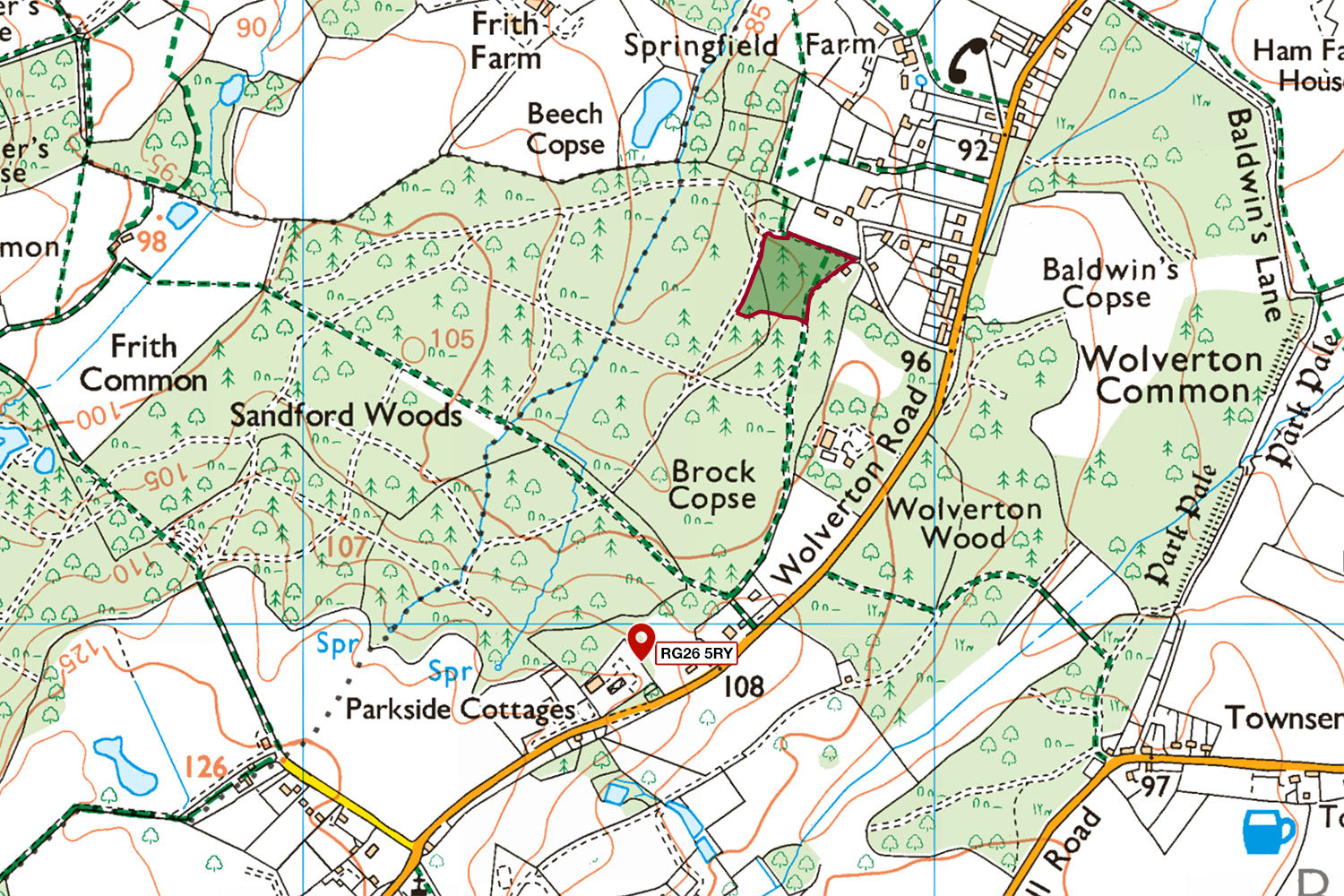
Location: Wolverton Common, Tadley
OS Landranger: No.174
Grid ref: SU 55752 59558
Nearest post code: RG26 5RY
Contact: Ben Williamson
Phone: 07958 213 914
Email: [email protected]
Email to a friend
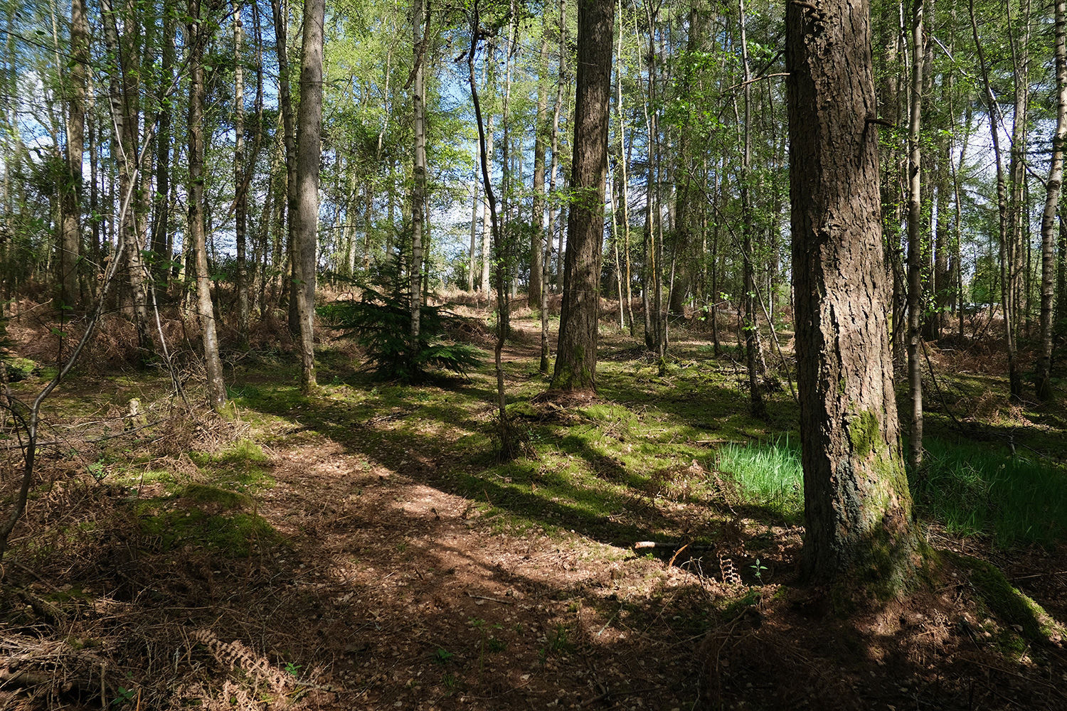
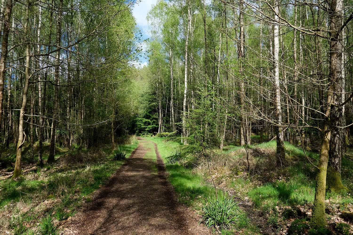
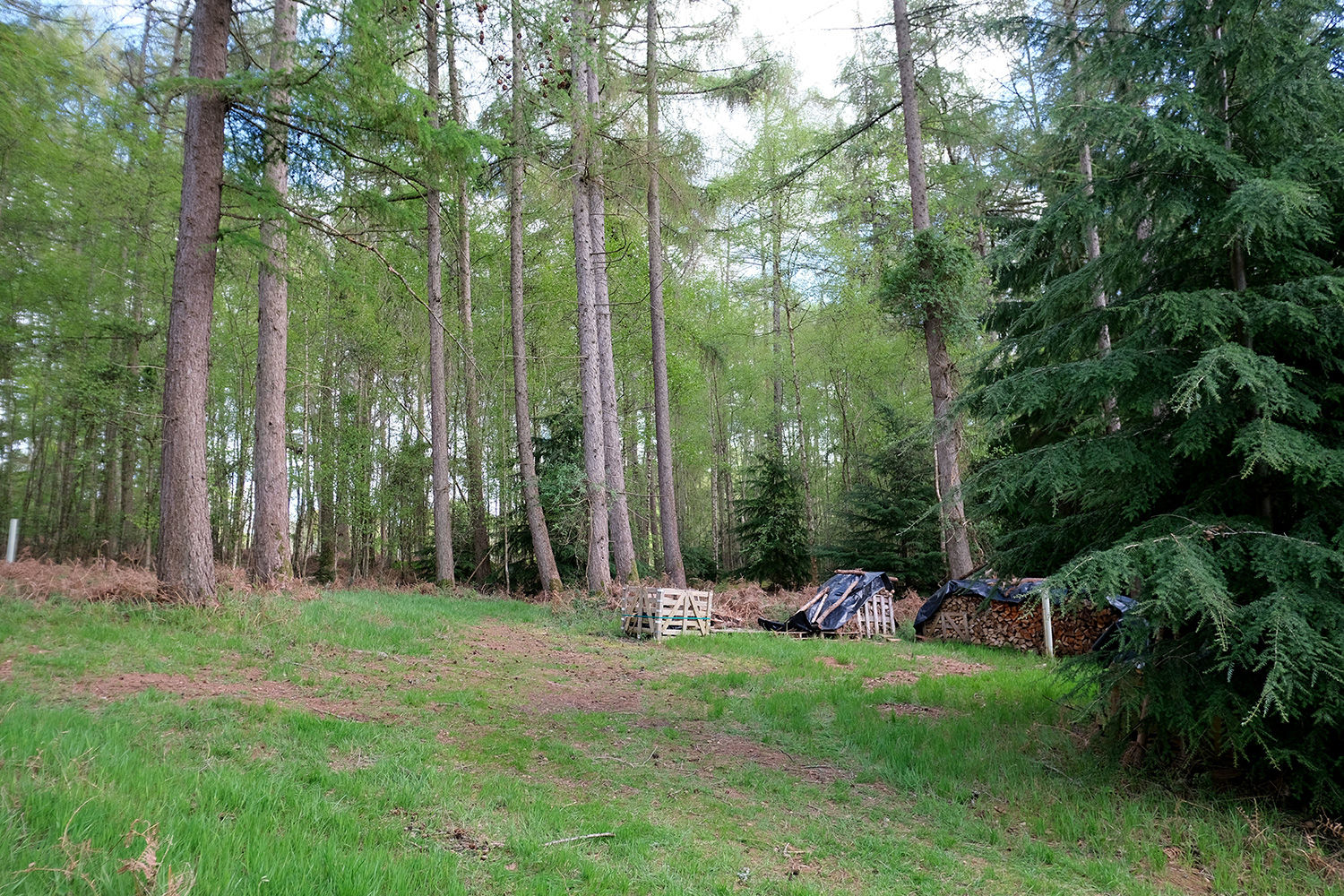
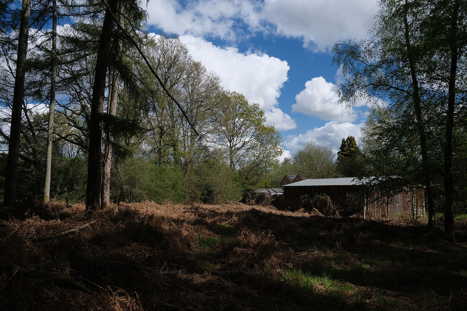
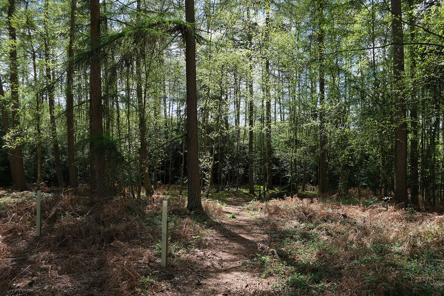
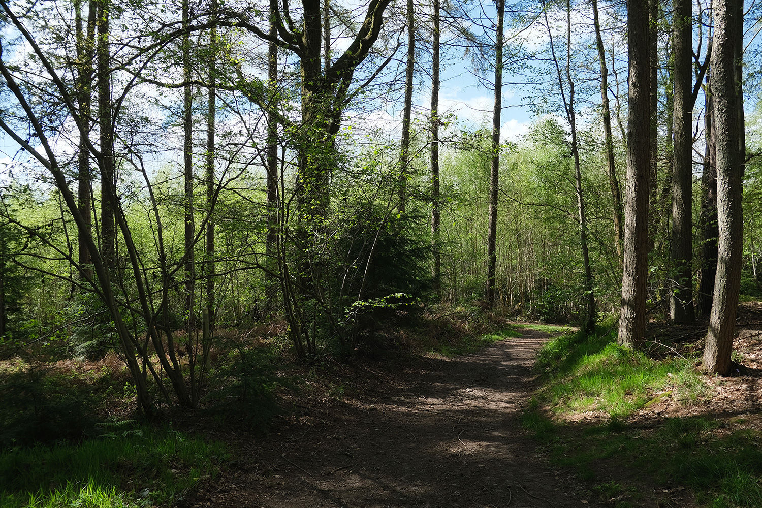
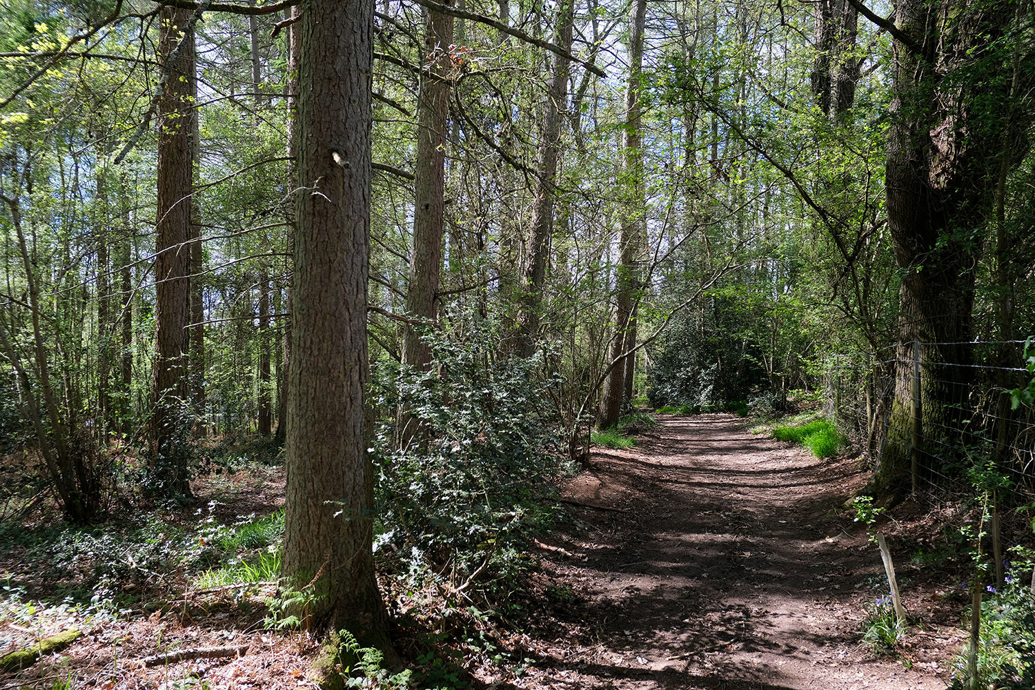
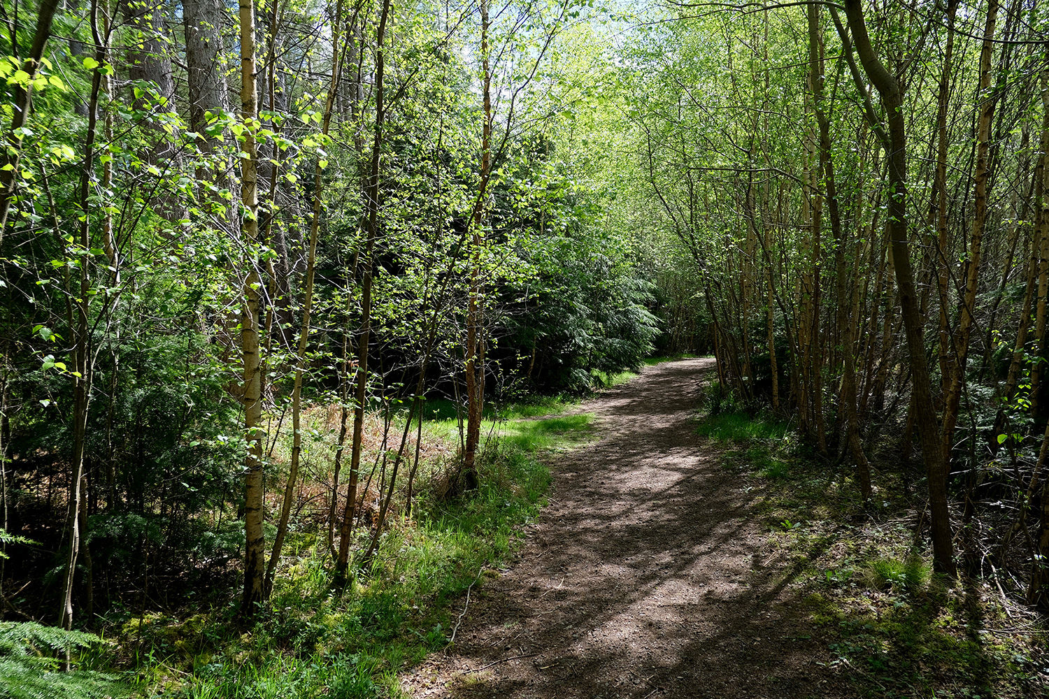
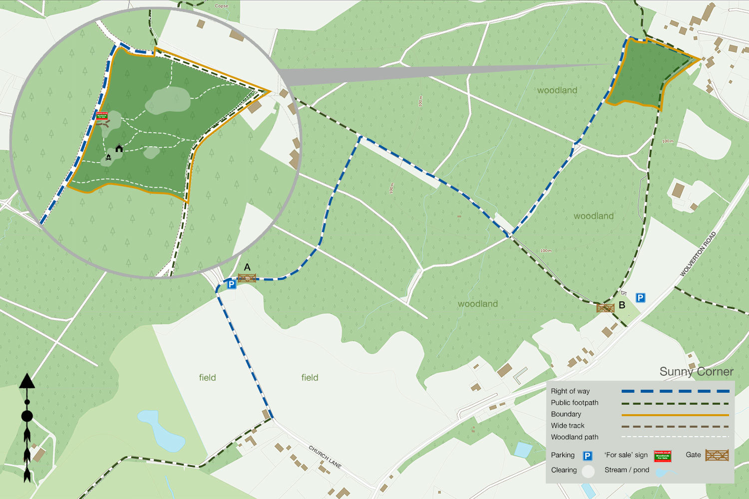
Sunny Corner is a beautiful stretch of woodland on the edge of the Wessex Downs. A broad entrance opens from the main track into a spacious central clearing, ideal for parking and outdoor activities. From here, well-defined paths wind their way through the woodland, making it easy to explore the site.
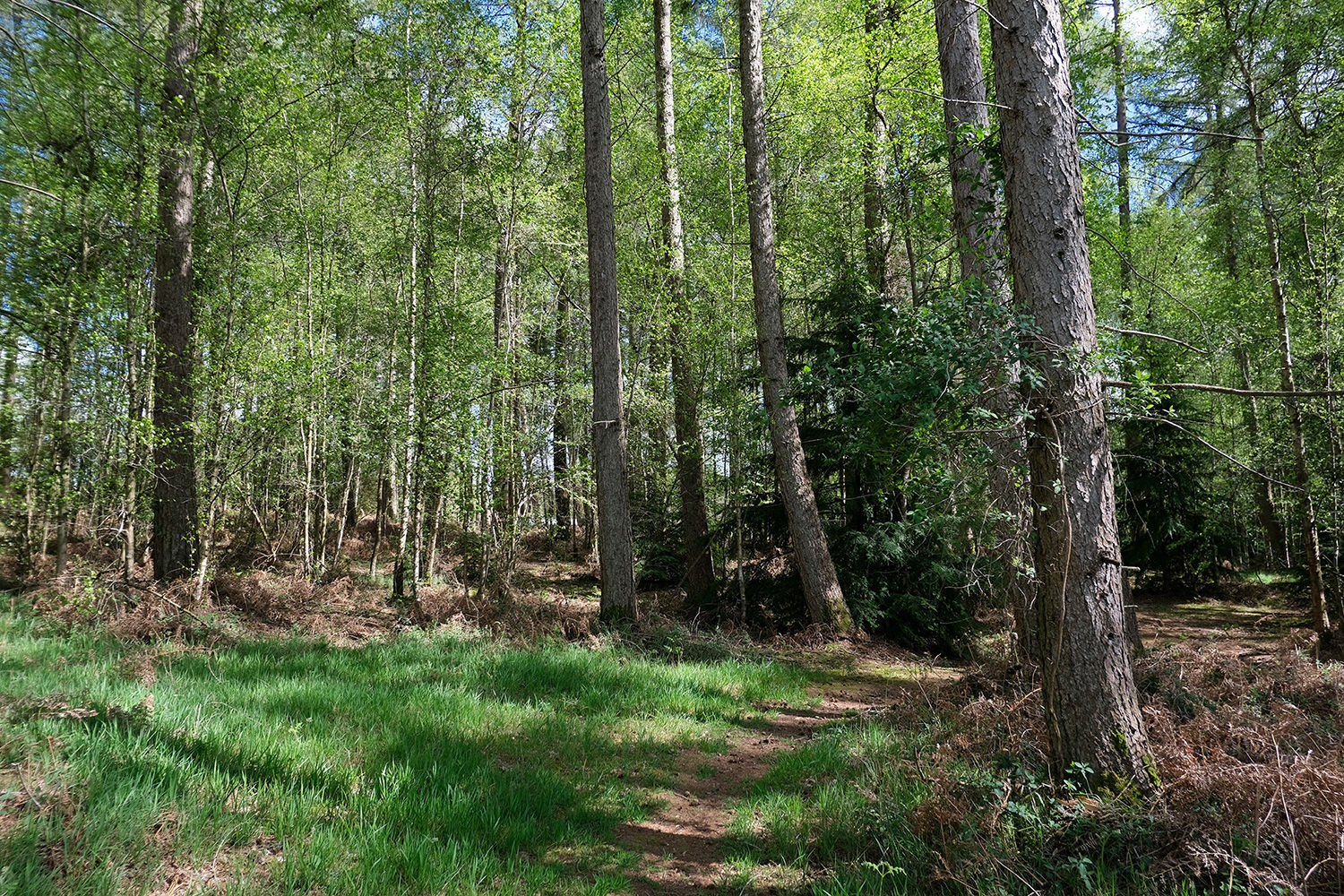
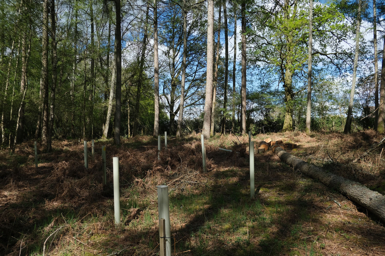
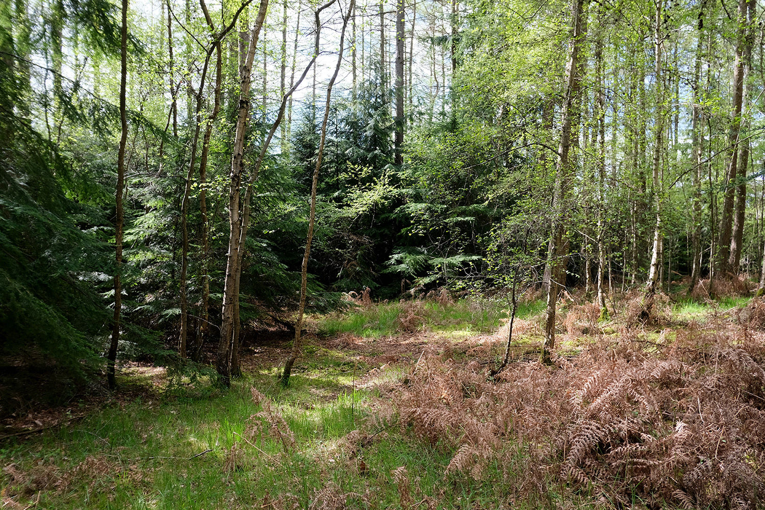
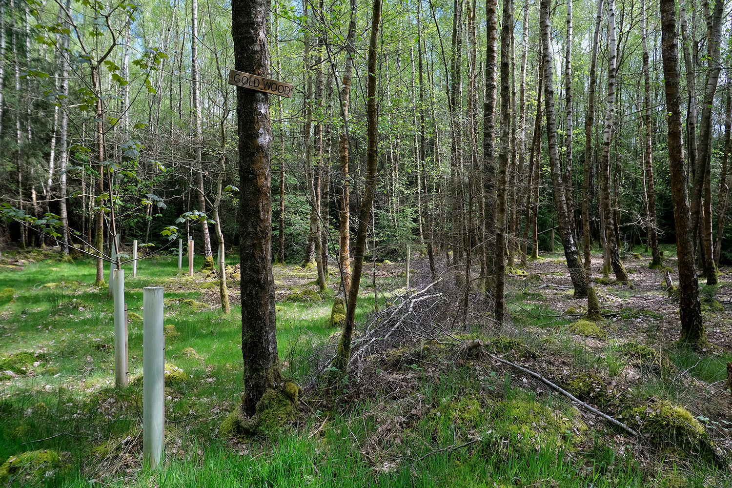
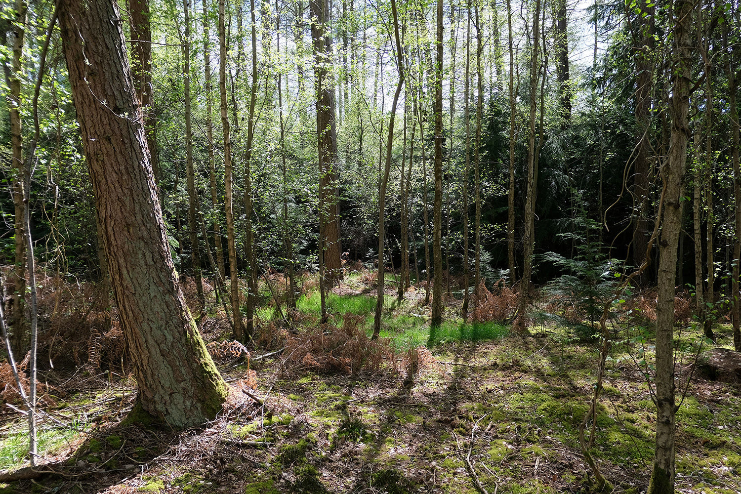
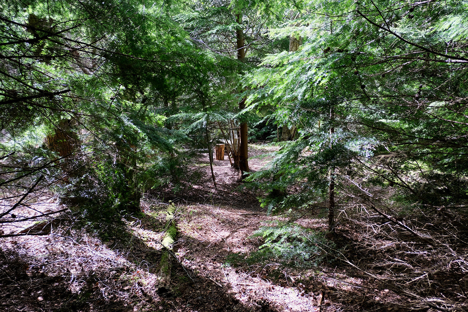
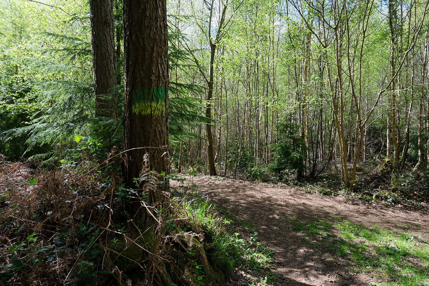
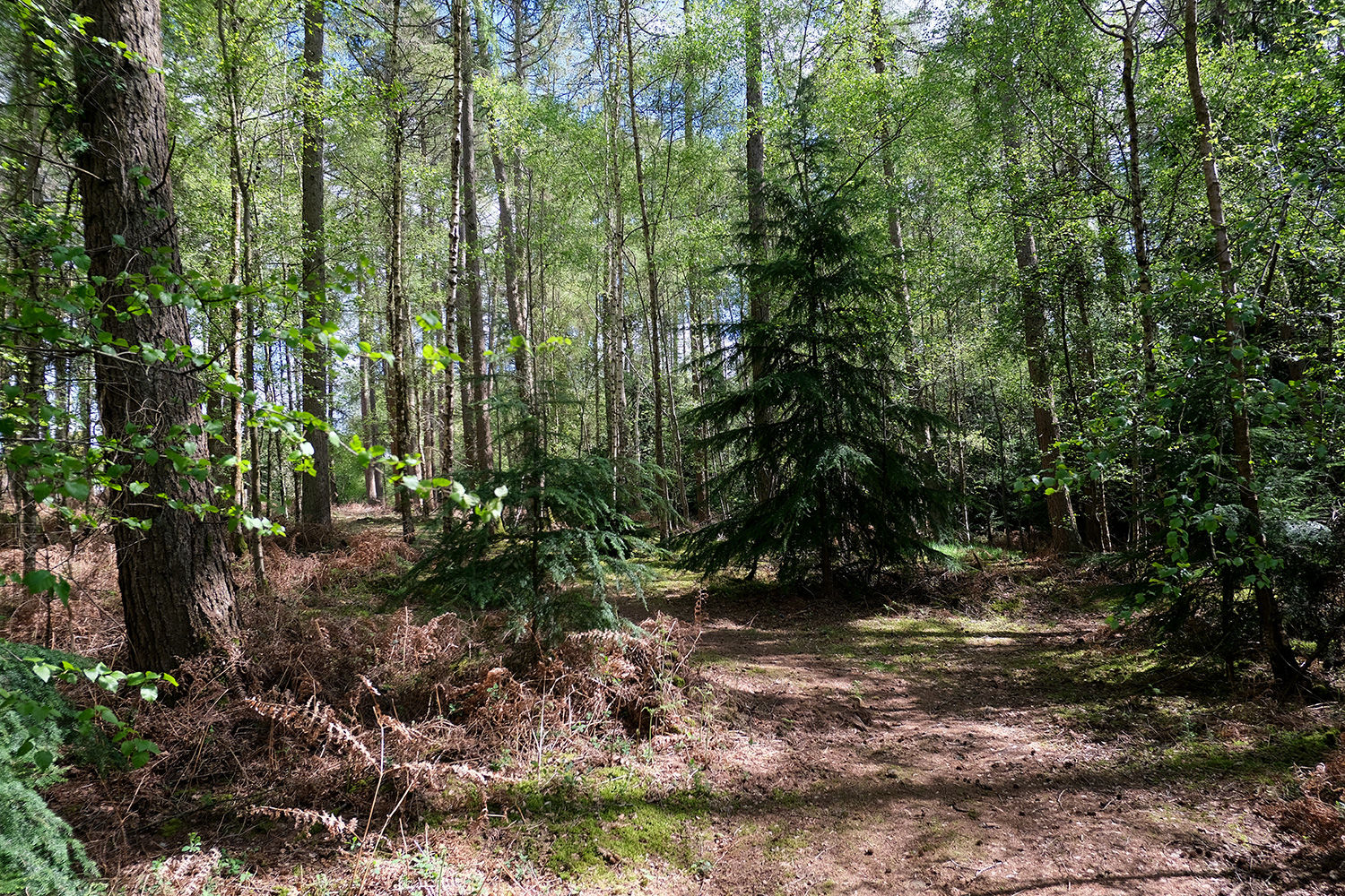
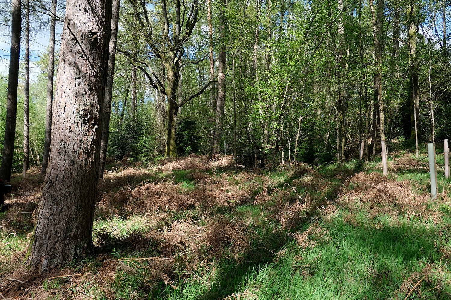
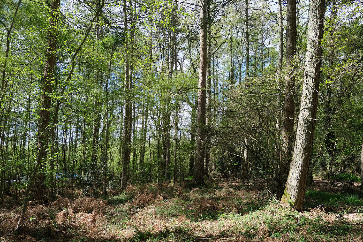
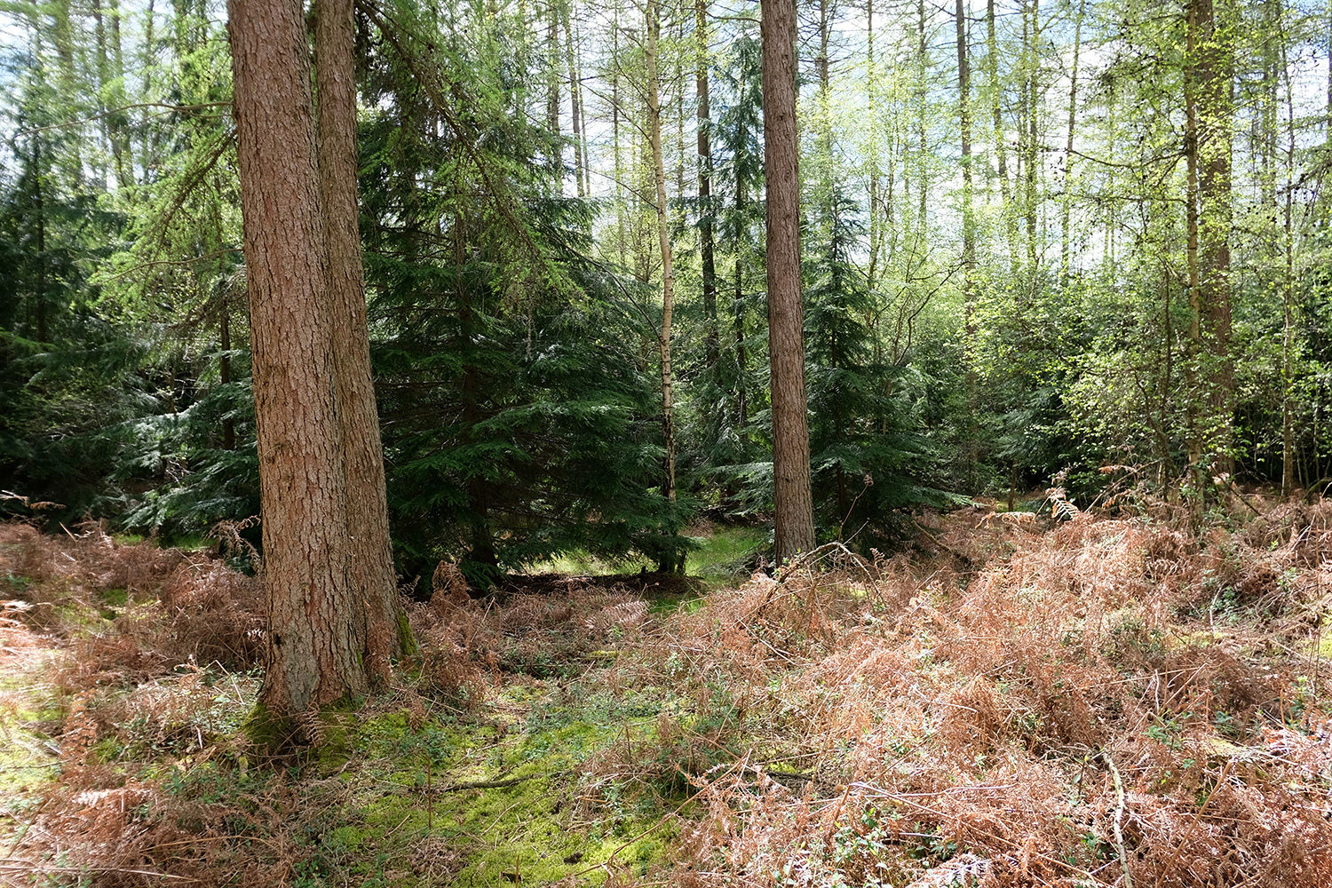
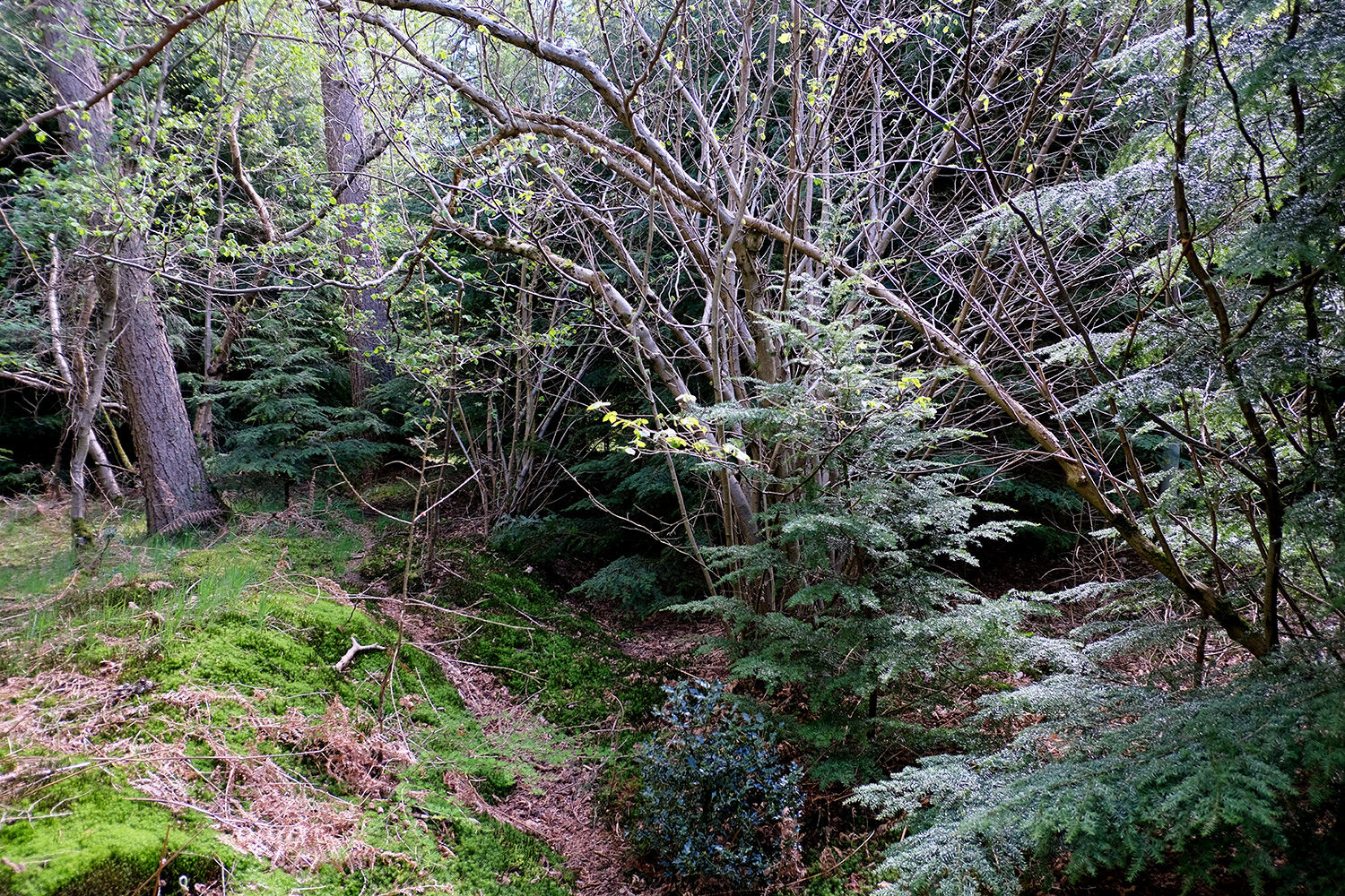
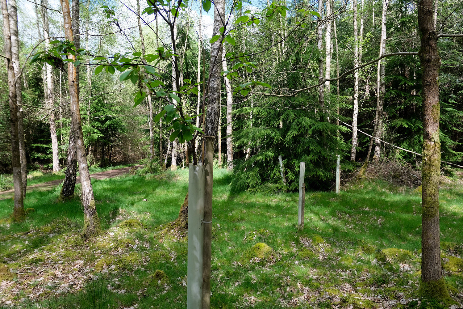
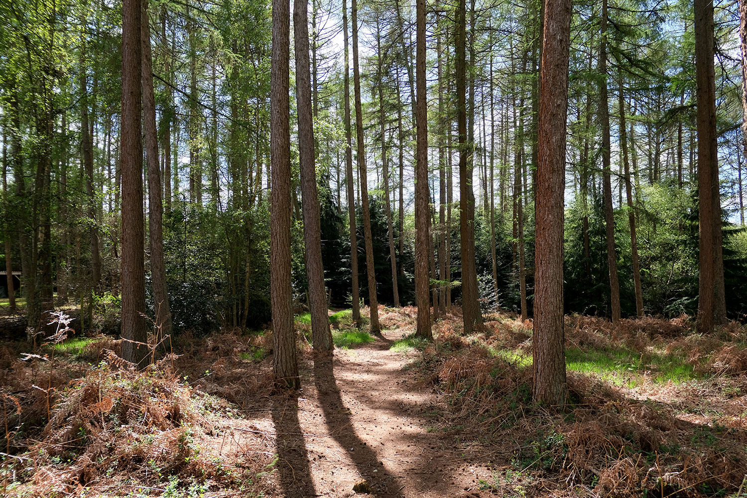
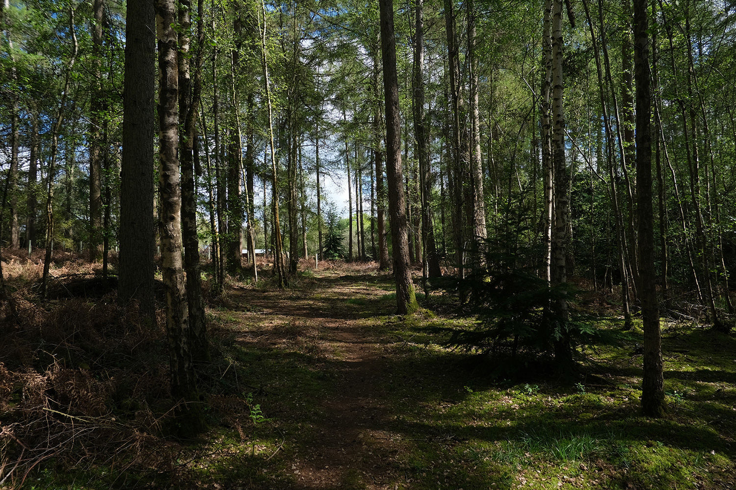
The northern part of the woodland is more open, with evenly spaced larch trees and a high canopy that allows plenty of natural light to filter through. Moving south, the landscape becomes denser and more secluded, with winding paths weaving between younger hemlock, holly, and birch. Scattered throughout are cherry, hazel, and occasional mature oak trees, adding to the woodland’s diversity.
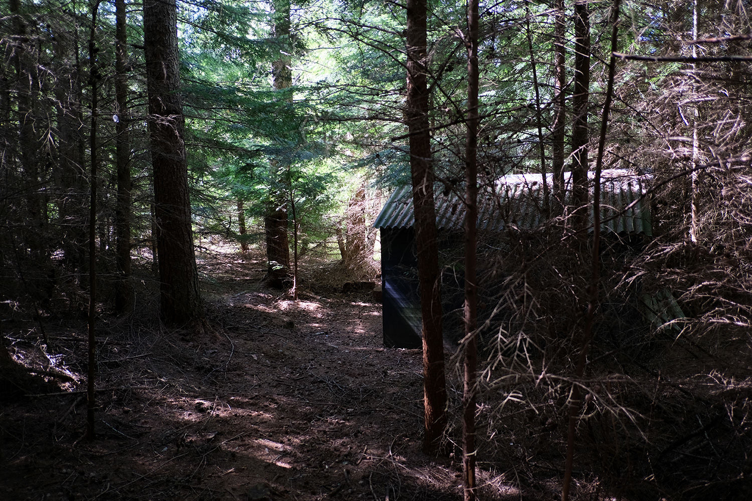
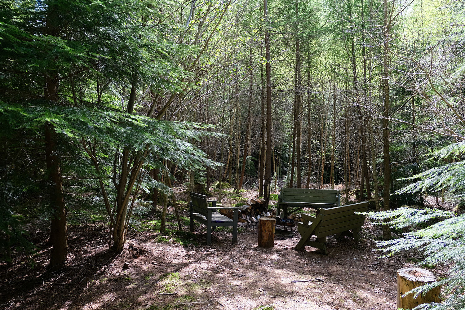
At ground level, the terrain is mostly flat and easy to navigate, with grasses and ferns underfoot. In the quieter corners of the site, you’ll find well-equipped storage and shelter, along with a hidden camp area complete with benches and a fire pit.
Deer are frequently spotted in the area, often passing quietly through the trees. Although a public footpath runs along parts of the northern and eastern boundaries, it does little to interrupt the sense of privacy—particularly in the more tucked-away areas.
Nearby, a farm shop within walking distance provides everyday essentials, while the village of Baughurst is just a short drive away.
Ward is Tadley North, Kingsclere & Baughurst and the County Council is Hampshire.
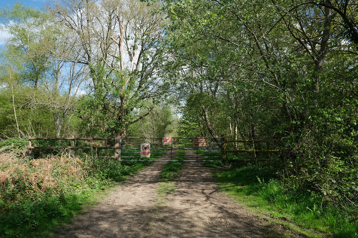
Boundaries: The boundary is fenced N and E and follows a public footpath. W is open and follows the access track. S is also open and borders neighbouring woodland. E is marked with green paint on posts and trees. The neighbouring woodland is marked with pink posts.
Access: There is excellent vehicle access all year round via a hard track and shared locked gate. Parking is also possible inside the woodland itself.
Covenant: There is a covenant on the wood designed to ensure the quiet and peaceful enjoyment of this and adjoining woodlands, click HERE to read and download.
Click HERE to see free OS maps.
Viewing: You are welcome to visit this wood by yourself, but please Click here to download the details showing the location of the woodland and ensure that you have a copy of these sales details with you. Many of our woodlands do not have mobile phone reception or internet access so we recommend either printing the details or downloading them to your phone or tablet. Please take care when viewing as the great outdoors can contain unexpected hazards and woodlands are no exception.
Maps: OS OpenData © Crown copyright and database rights 2026 & OpenStreetMap
Our Maps (Click on a map to see a large version)
Our Maps
Directions
Sunny Corner (Gold Wood), Wolverton Common, Tadley, RG26 5RY.
The main entrance is quite a long walk from the Sunny Corner. As an easier option for viewing we recommend parking at in the car park near the children's playground and following the public footpath.
1. Click here for Bing Maps Directions click on the "Directions" box and enter your own postcode.
For viewing we recommend parking at the car park near the children's playground and following the public footpath from there.
- For viewing purposes, park in the playground car park as marked 'B' on the map.
- Follow the track marked in green on the map past the playground and pass by the gate.
- Turn right and continue straight on for approx 350m.
- At this point you will reach the SE corner of the woodland. Continue straight on and enter the woodland on your left.
- Alternatively, park near the entrance marked 'A' on the map, the main vehicular access for the woodland owners, which is gated and locked. There is some parking at the gate. Please don't block the gate."
- Climb over the gate and follow the track marked blue on the map until you reach the woodland.
- It's about a 10 minute walk.
2. For Satnav: the nearest postcode is RG26 5RY as shown by the marker on the maps. The main coordinates for access from the playground 'B' are: 51.327578, -1.201419. W3W ///beginning.uplifting.loft
The main coordinates for the main entrance 'A' are: 51.328360, -1.213652. W3W ///makeovers.recline.fills
3. We recommend downloading OS maps to your phone. It's very useful for giving you an idea of where you are on the ground when viewing woodland.
Please note: the particulars with plans, maps, descriptions and measurements are for reference only and although carefully checked we cannot guarantee their accuracy and do not form part of any contract. Any intending purchasers must satisfy themselves by inspection or otherwise as to the correctness of these particulars.
Location maps
View and print this wood's location on Bing Maps »
Interested in this woodland? Get in touch with us:
Contact Ben Williamson on 07958 213 914 or email us at [email protected] with your details.