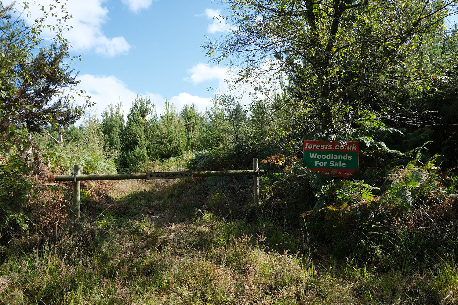
Jacob's Ladder (North & South) - Devon
Details for this wood
Guide price: £140,000 - Freehold
Size: About 10 acres
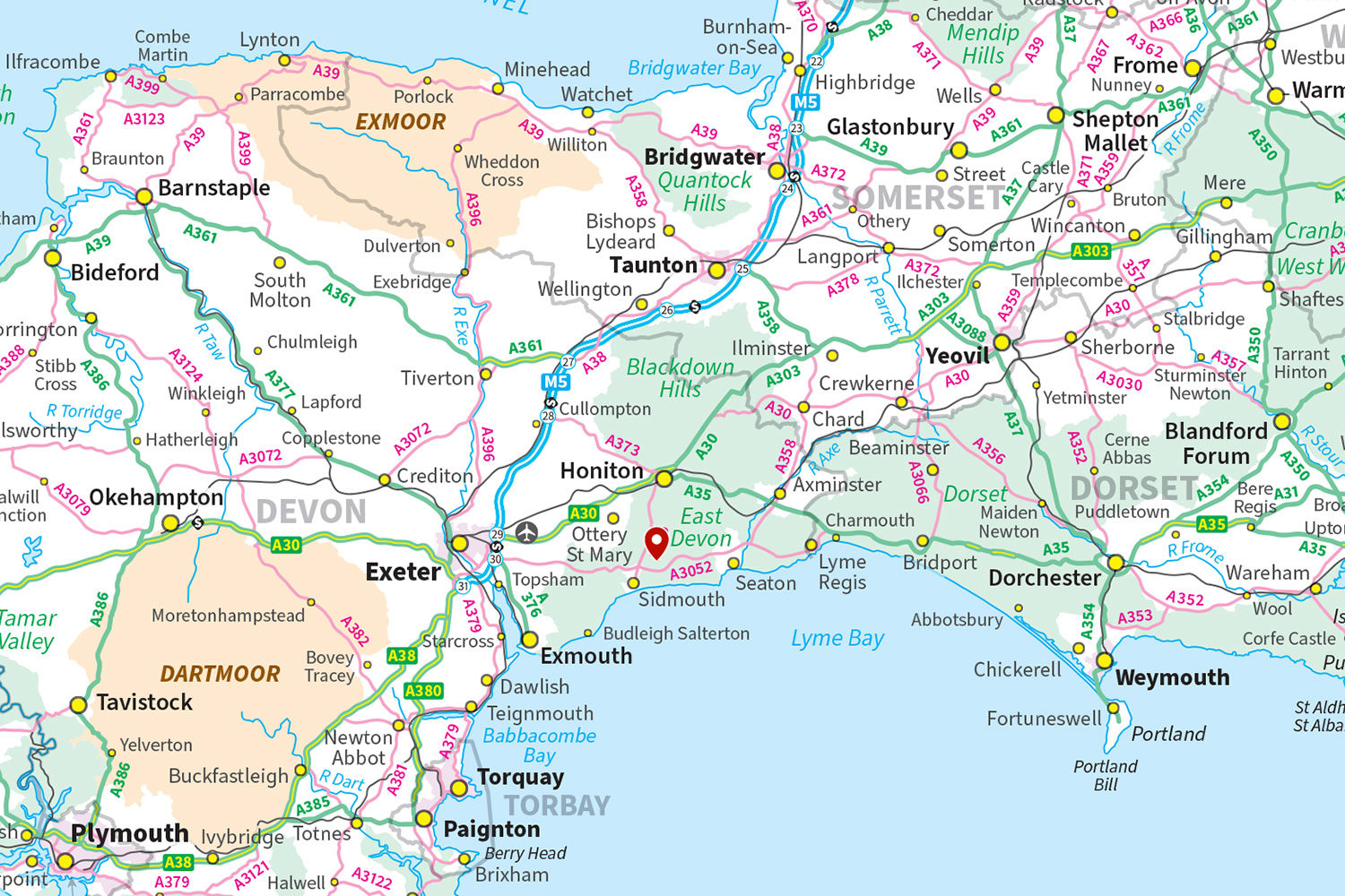
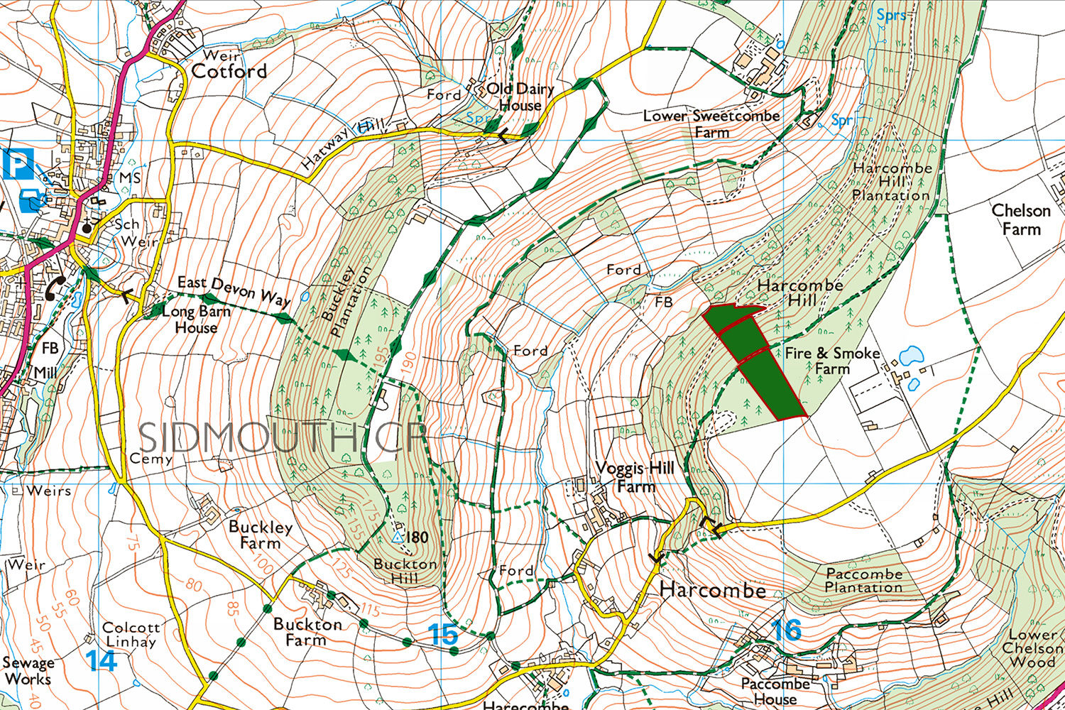
Location: Harcombe, Sidmouth
OS Landranger: No.192
Grid ref: SY 15955 91299
Nearest post code: EX10 0PR
Contact: Ben Williamson
Phone: 07958 213 914
Email: [email protected]
Email to a friend
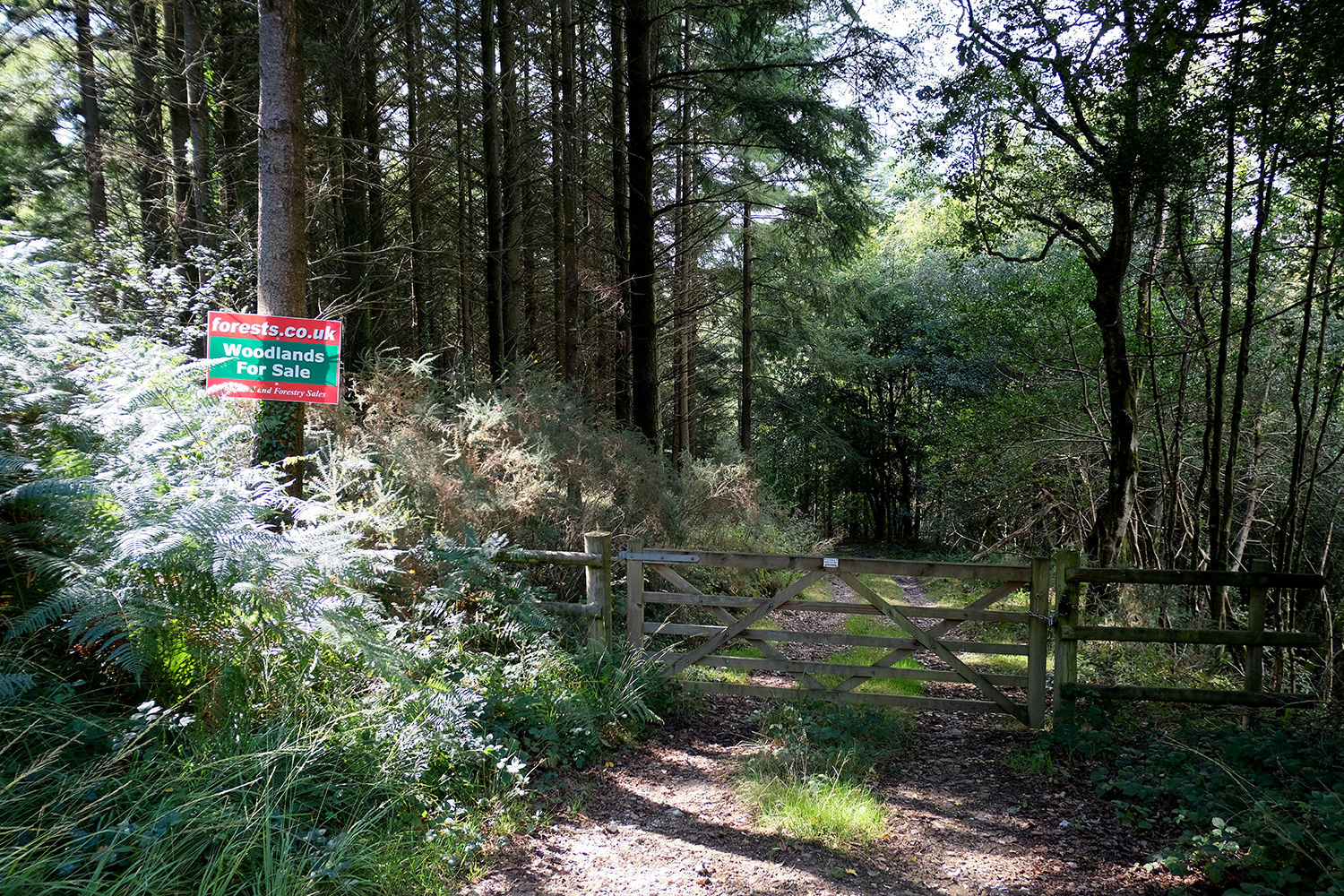
Jacob’s Ladder (North & South) offers a rare opportunity to own two distinct areas of woodland, each providing its own blend of commercial potential and leisure appeal. Set within the rolling hills of Harcombe, part of the East Devon National Landscape, the woods enjoy a peaceful, unspoiled setting.
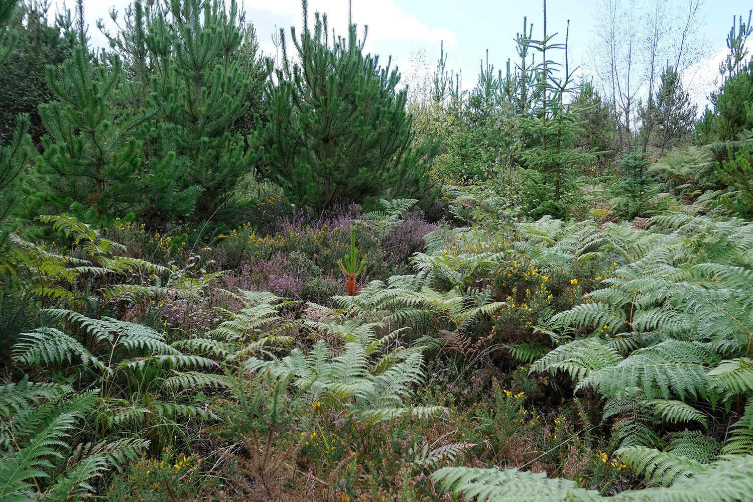
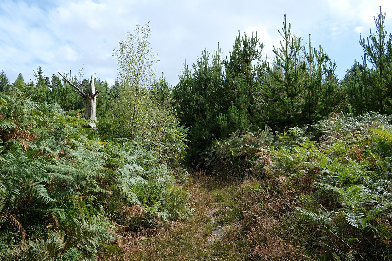
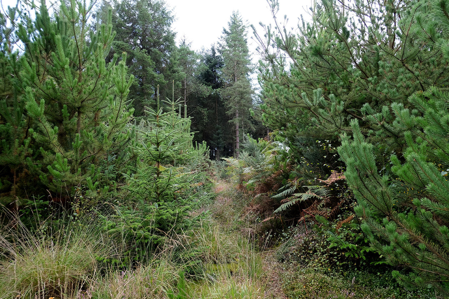
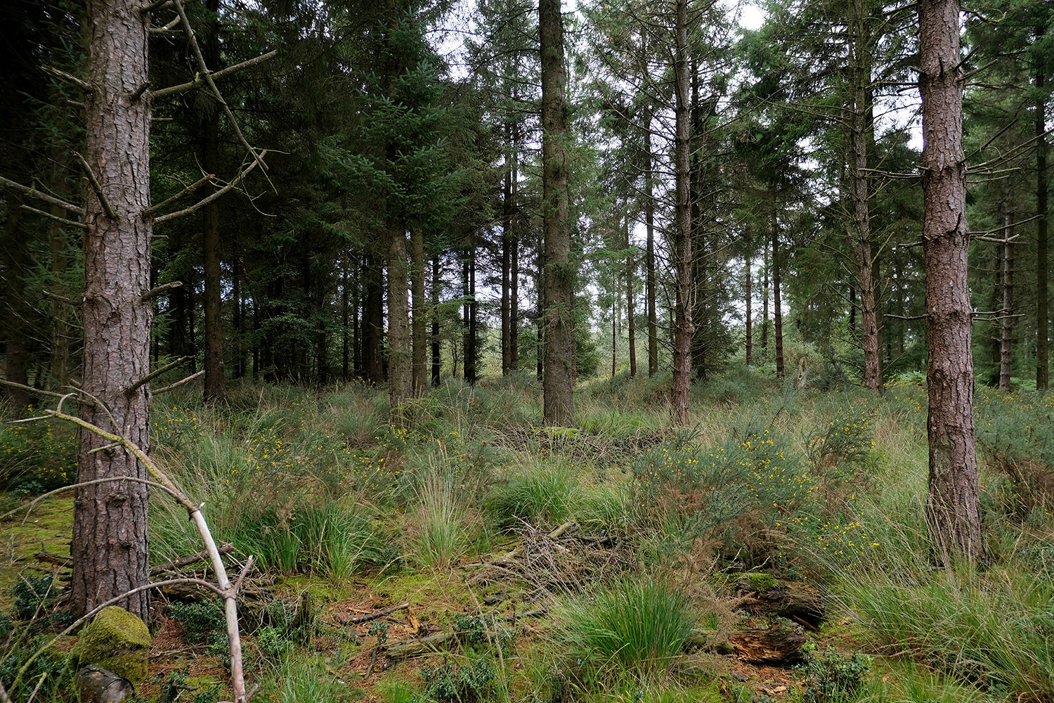
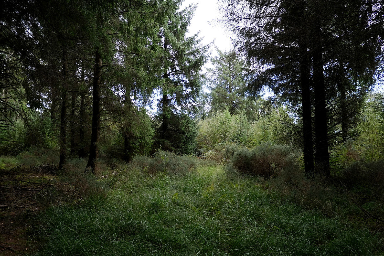
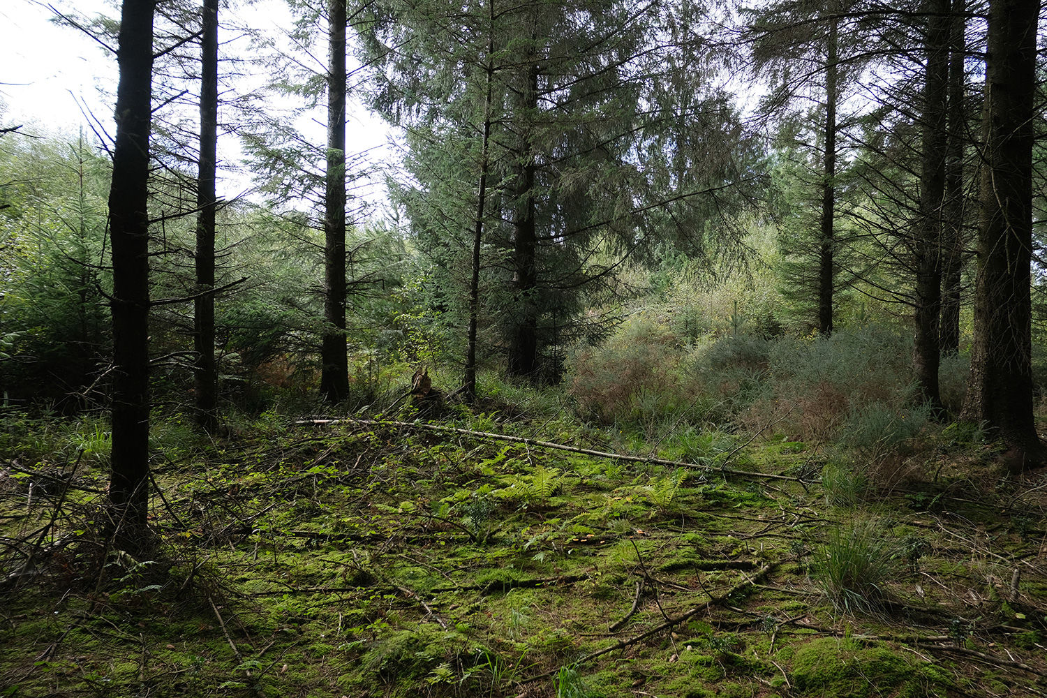
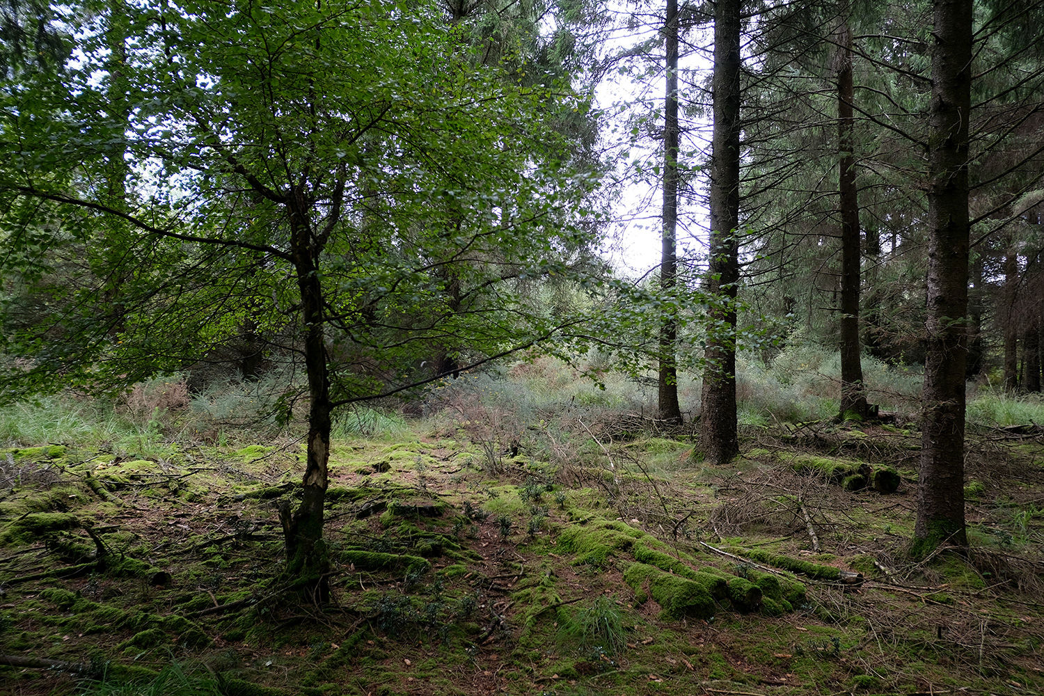
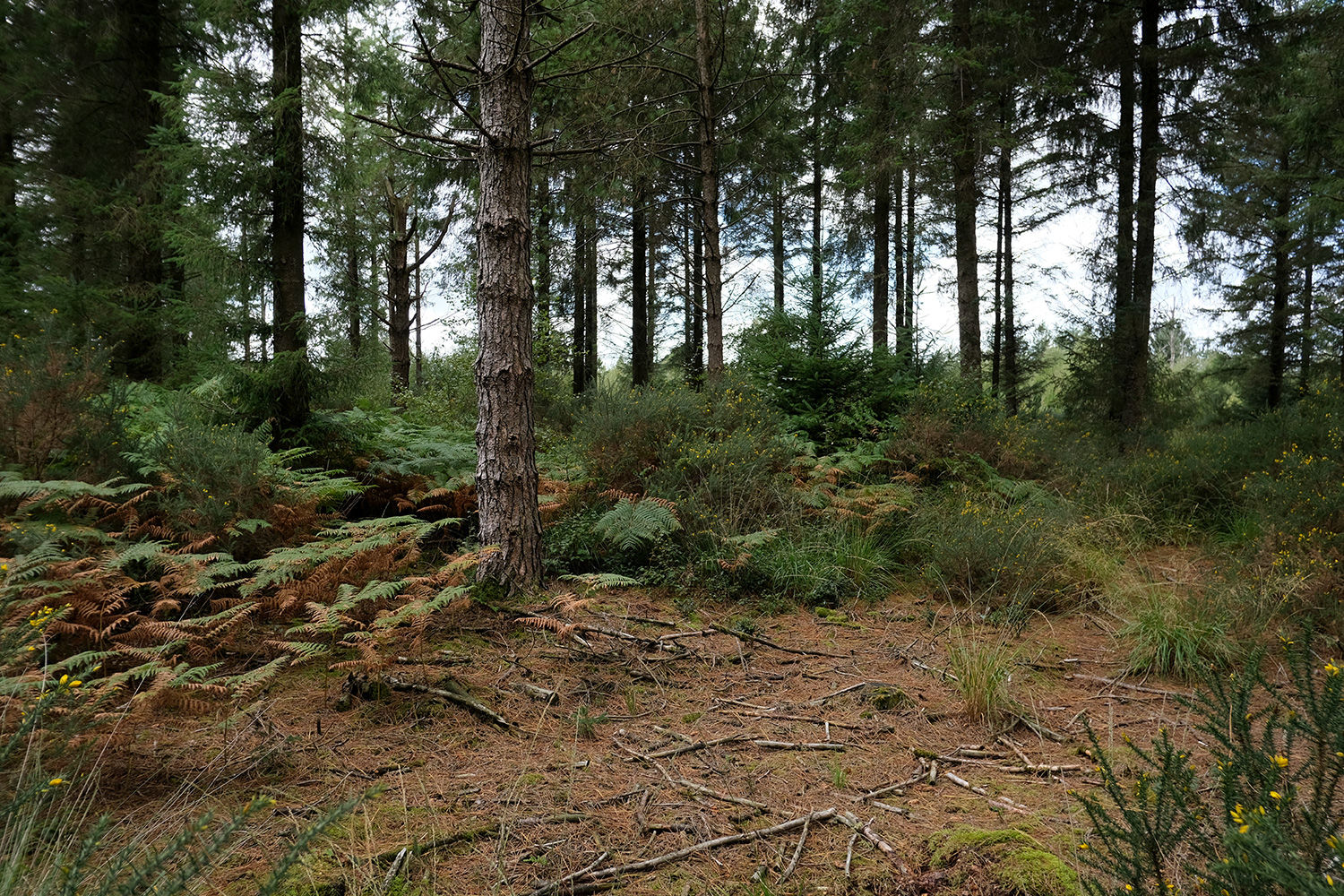
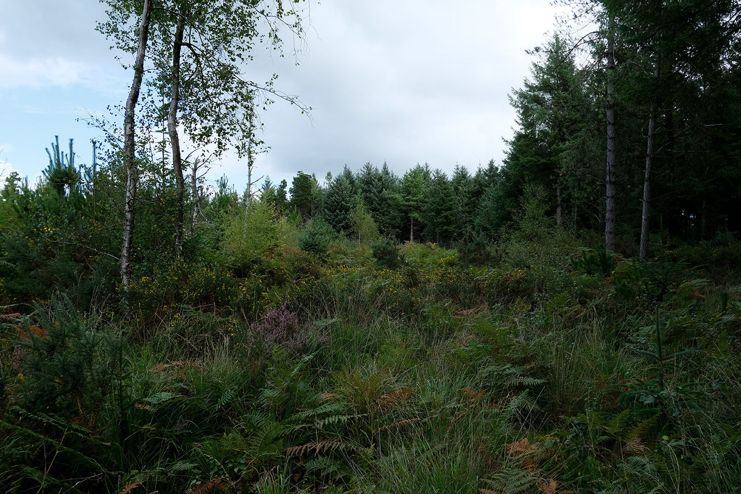
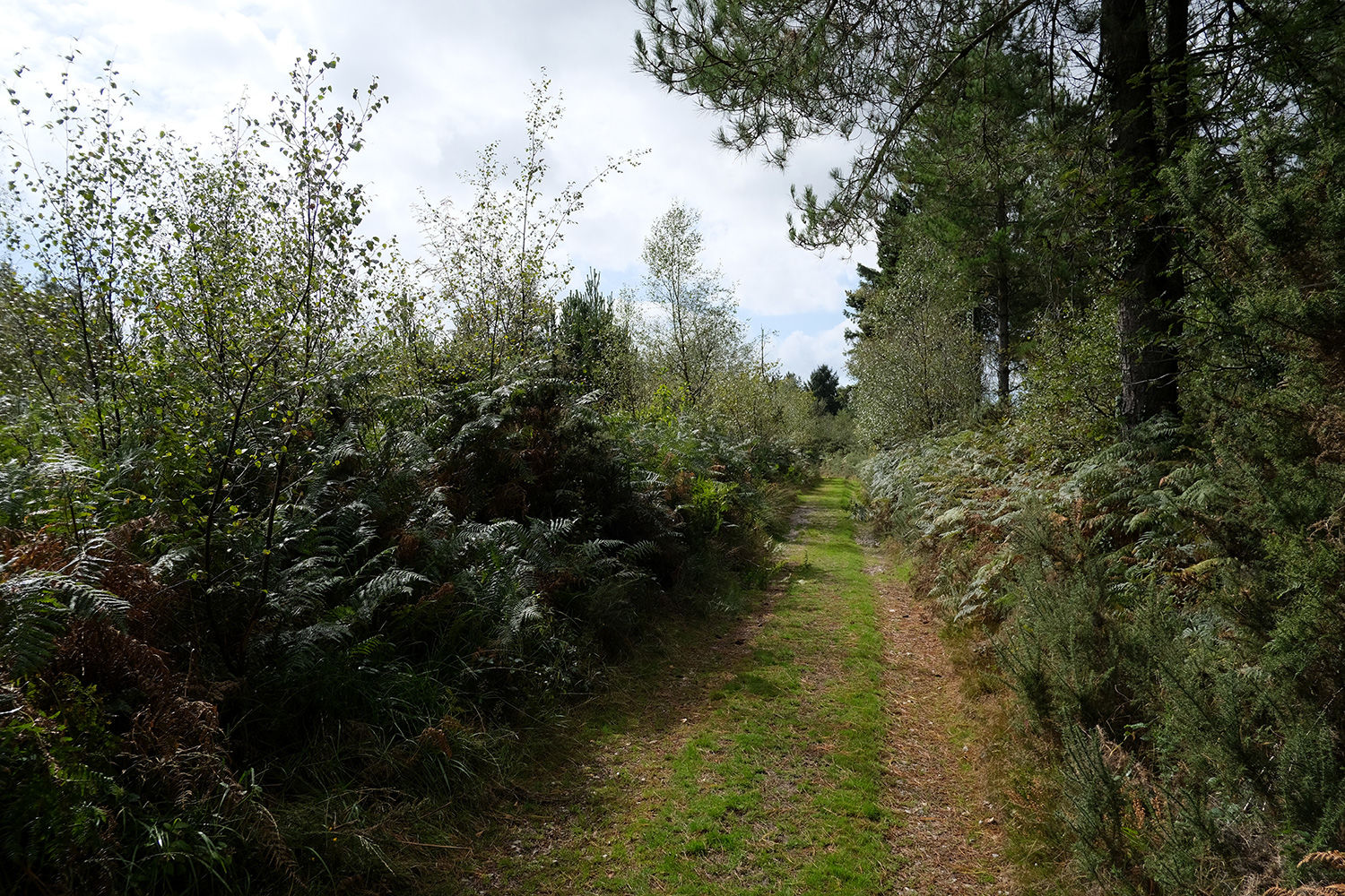
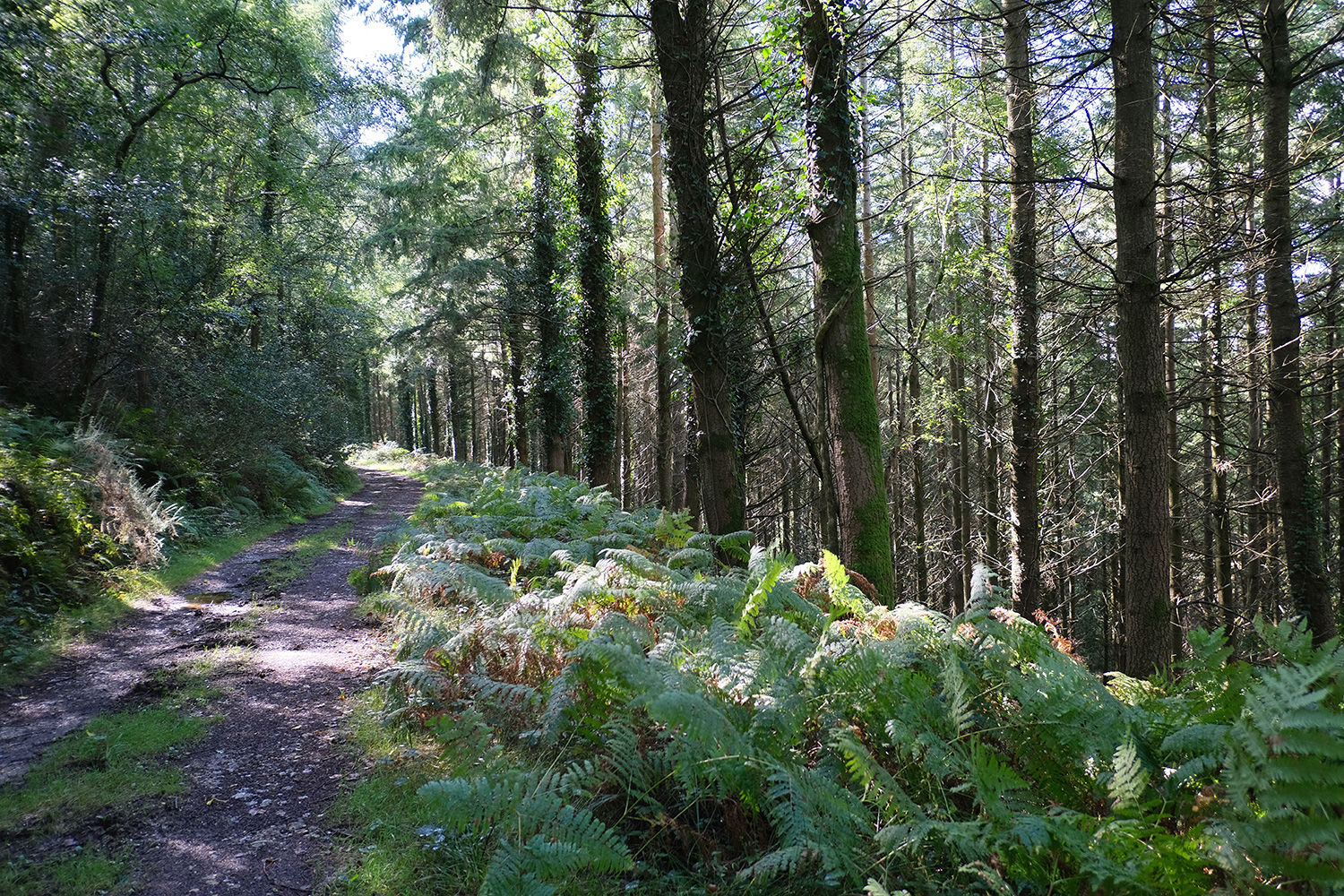
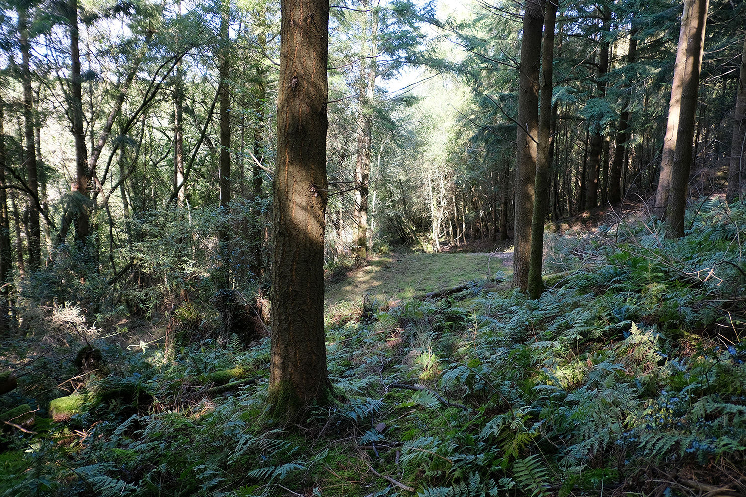
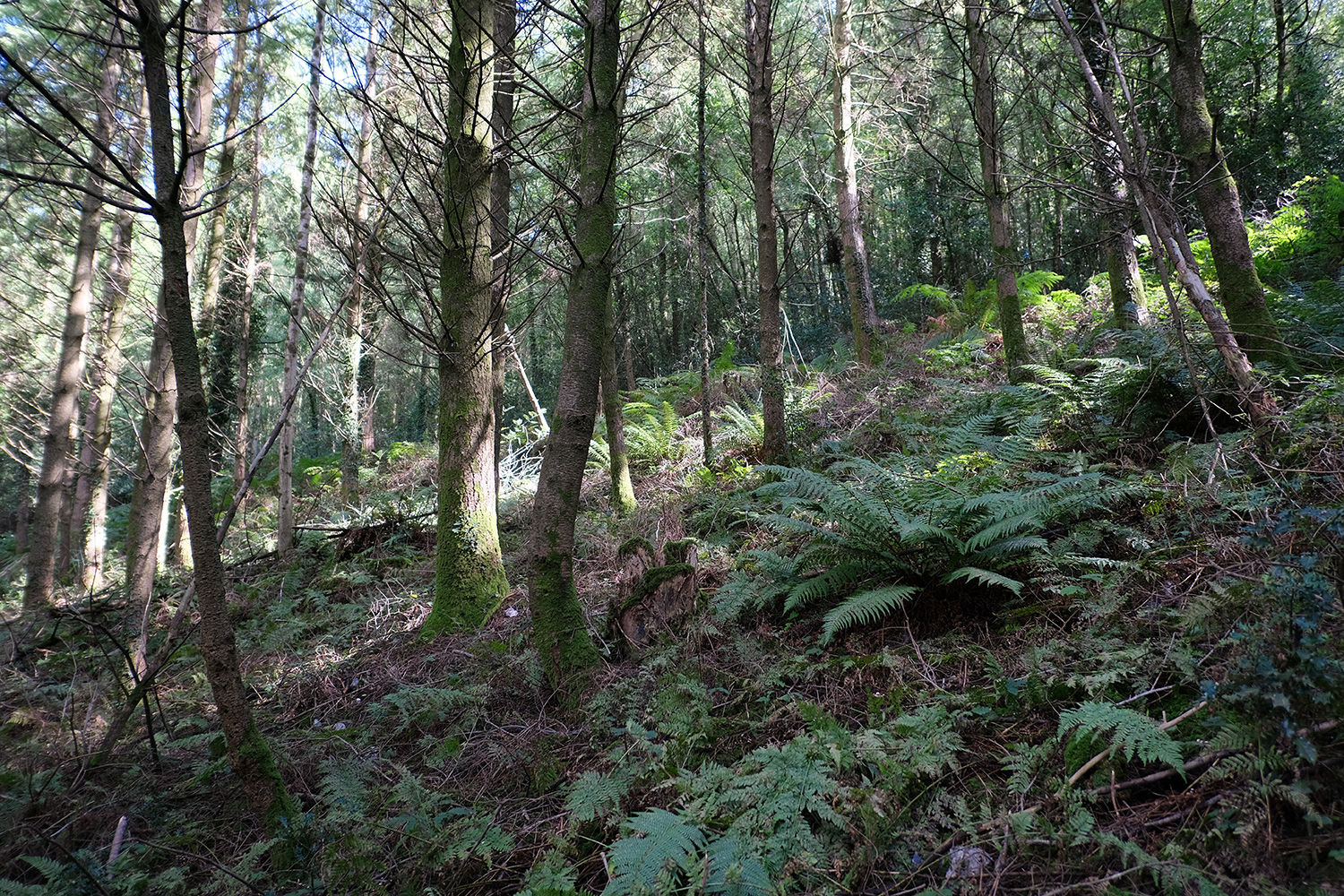
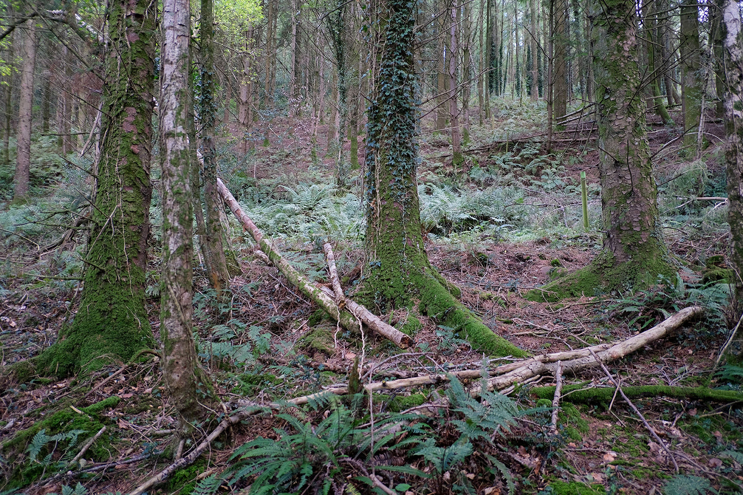
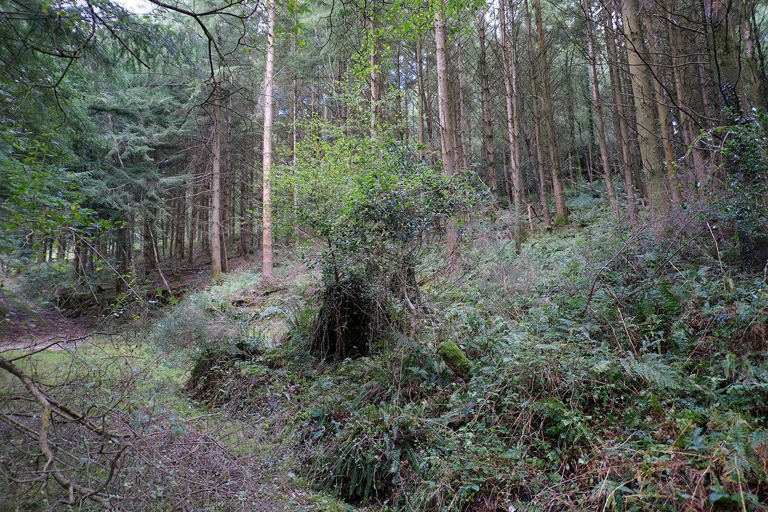
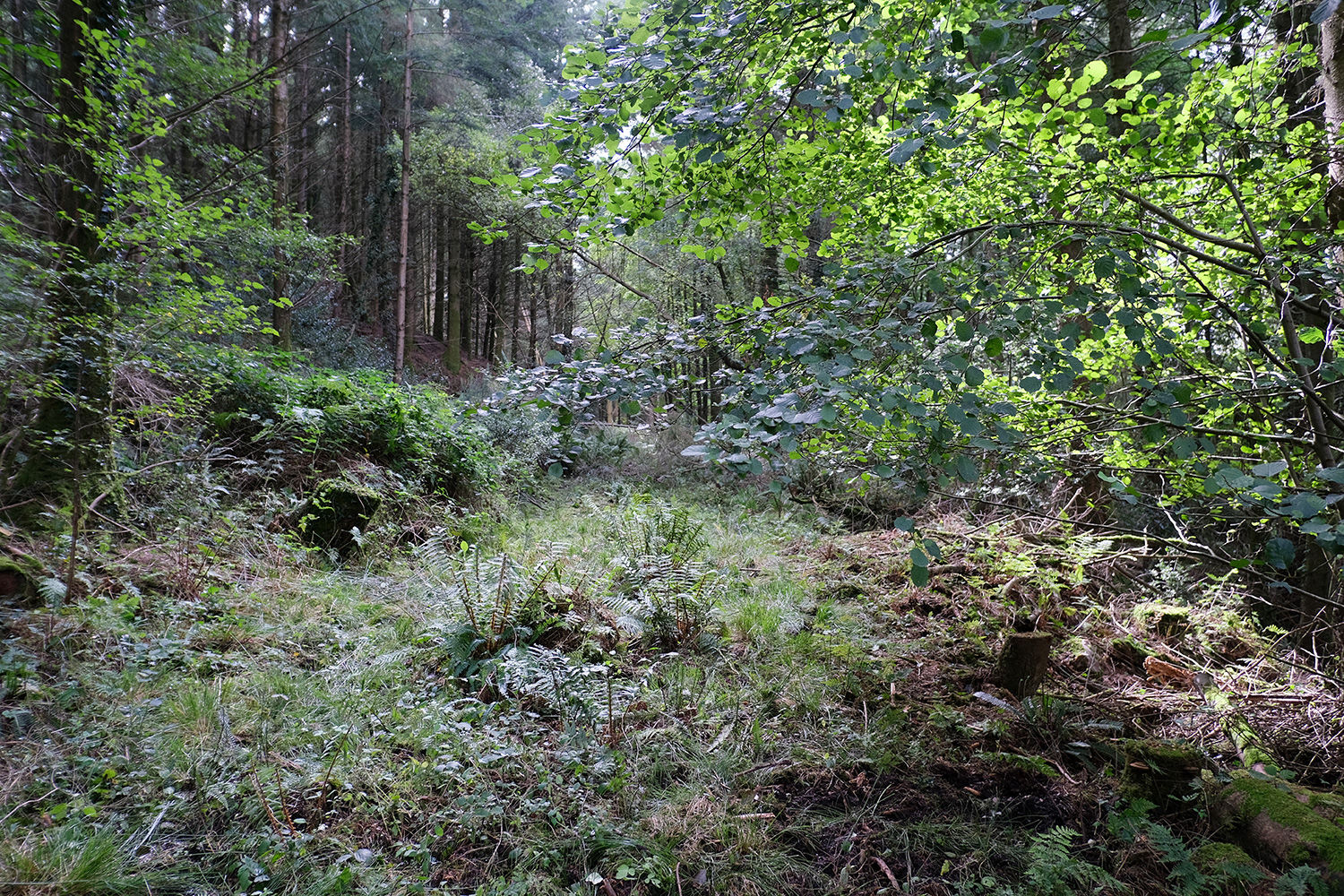
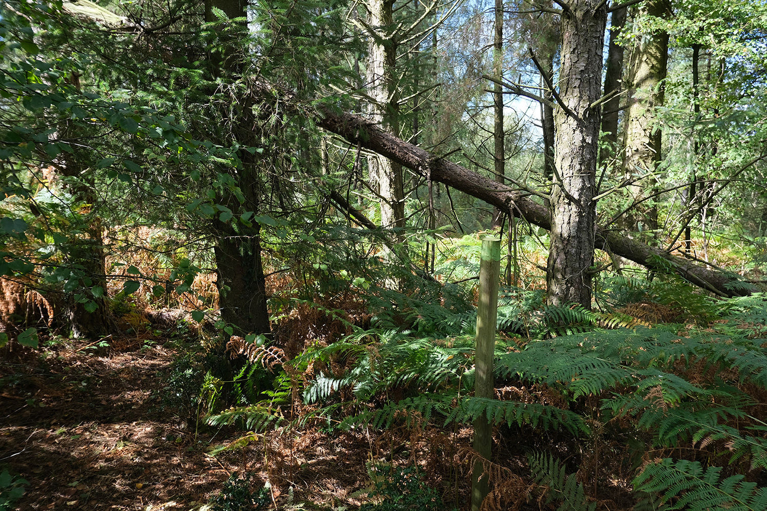
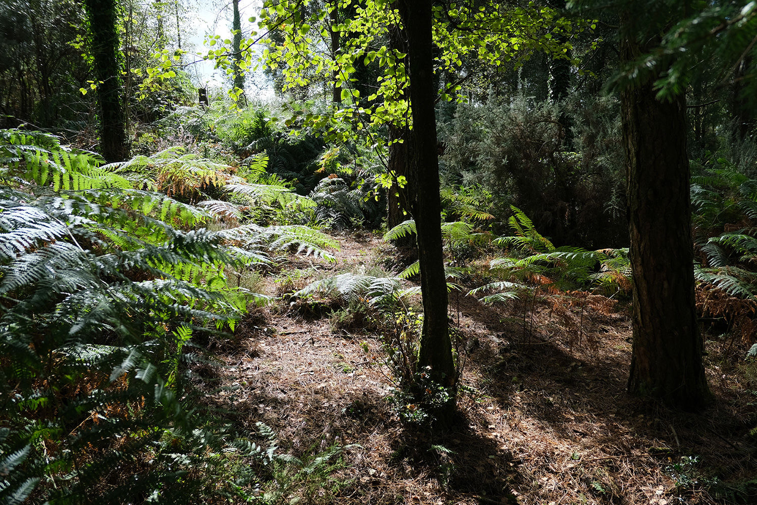
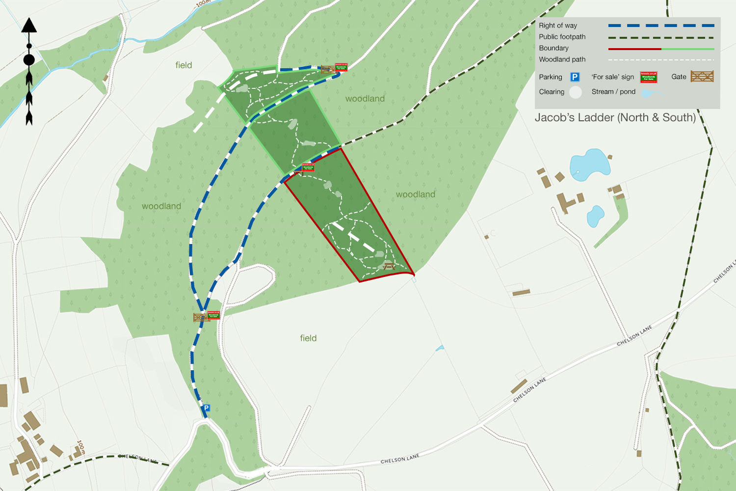
The southern section occupies the summit of Harcombe Hill, where it benefits from far-reaching views and sunlight throughout the day. A footpath leads from the entrance through a heathland of heather, gorse, and young pine, before opening into a larger area of mature spruce, Scots pine, and Douglas fir. You’ll also find oak, beech, holly, and birch scattered throughout. Although parts of the woodland have been commercially cleared in the past, it has since been left to regenerate naturally.
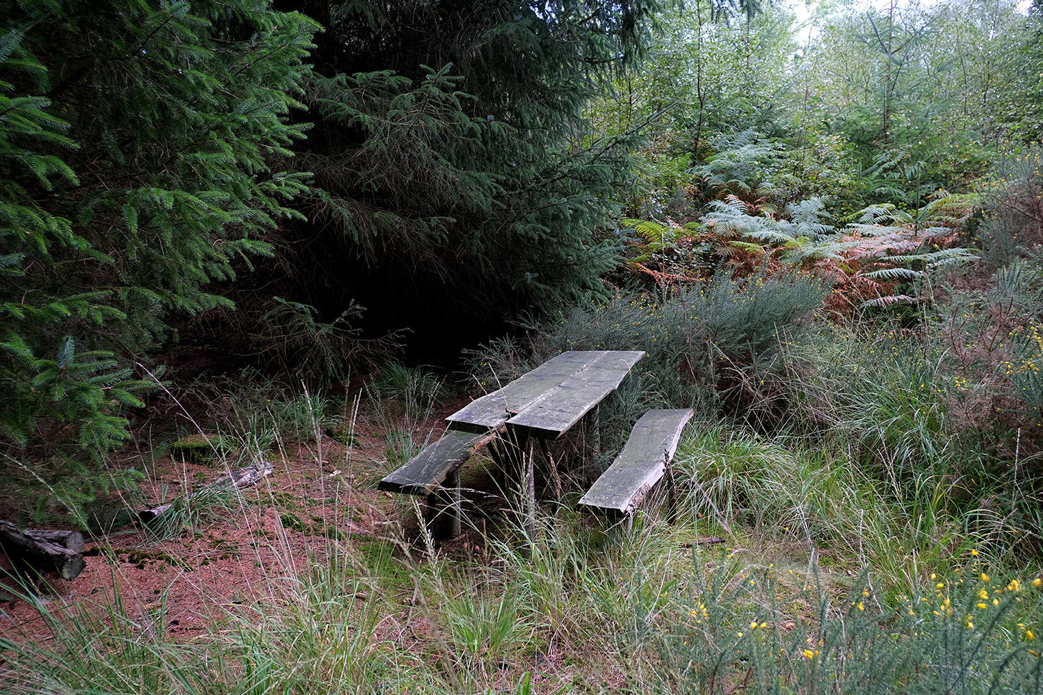
Offering complete privacy and seclusion, the central area of the southern wood is relatively flat, featuring numerous open glades and rides, ideal for woodland activities or occasional overnight stays during the summer months. From the southern boundary you can also get a distant view of the coast.
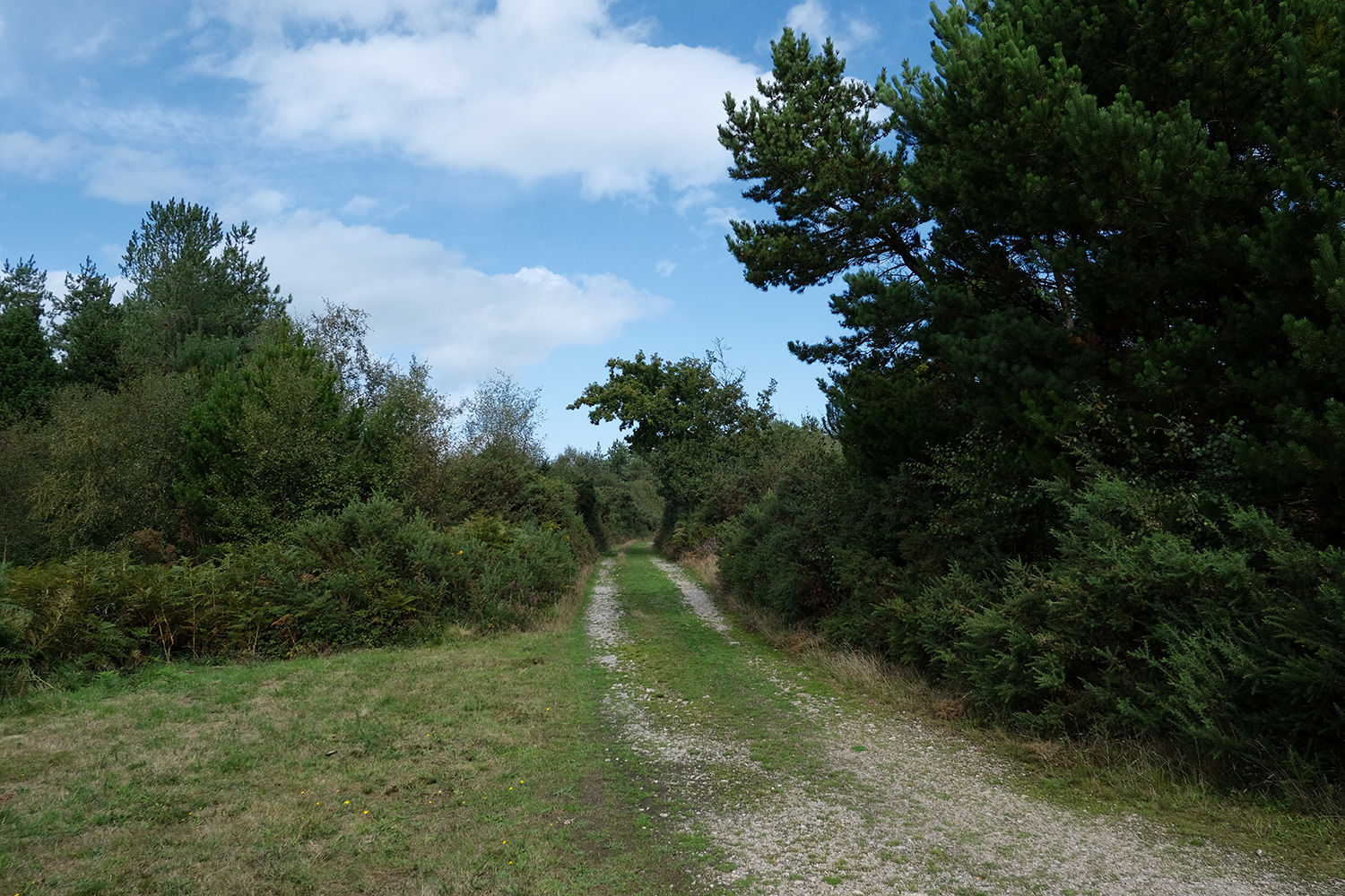
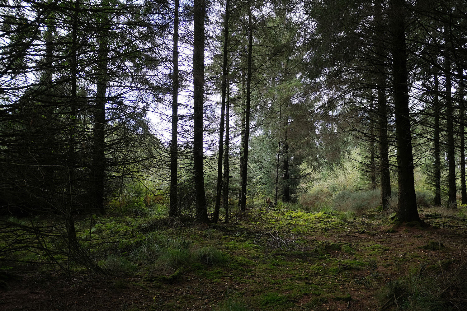
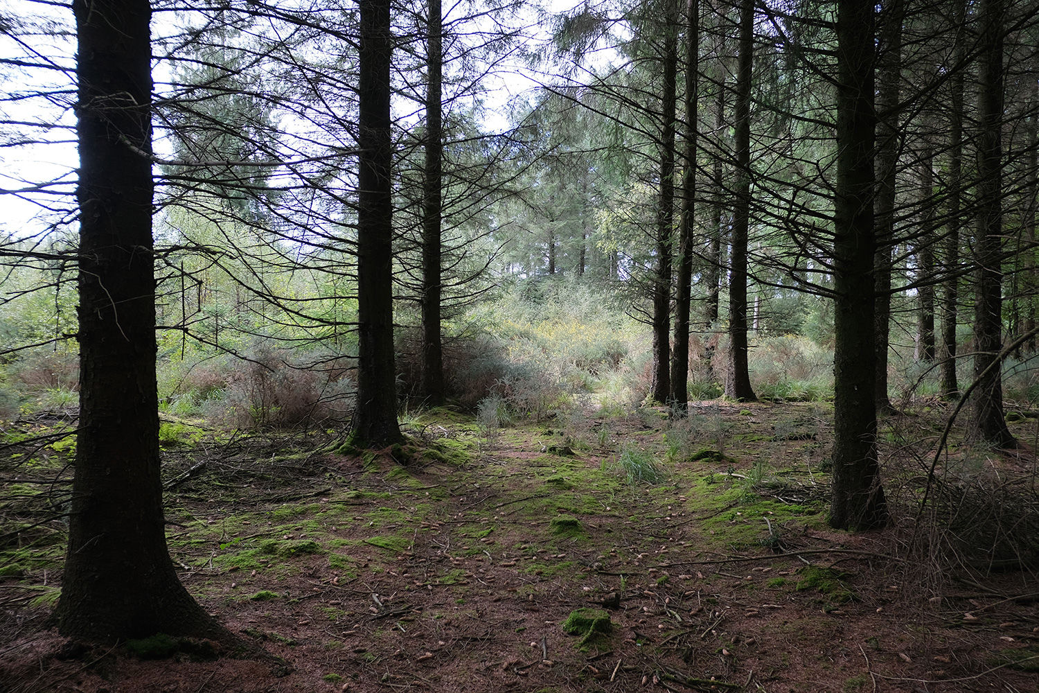
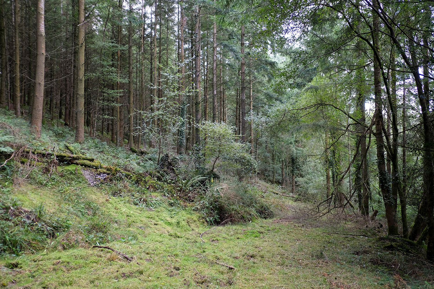
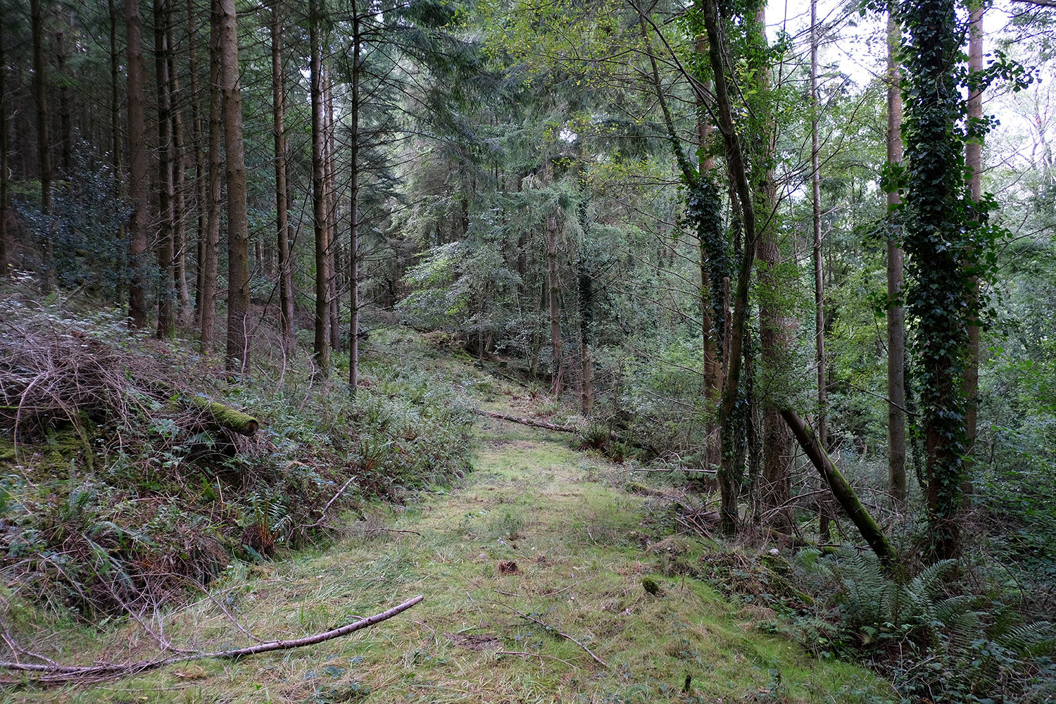
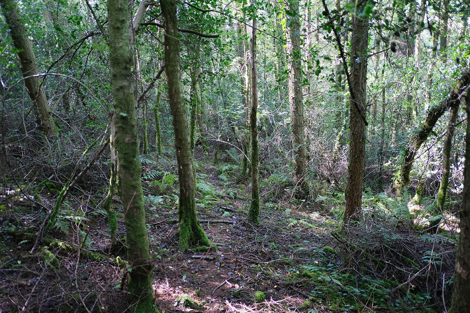
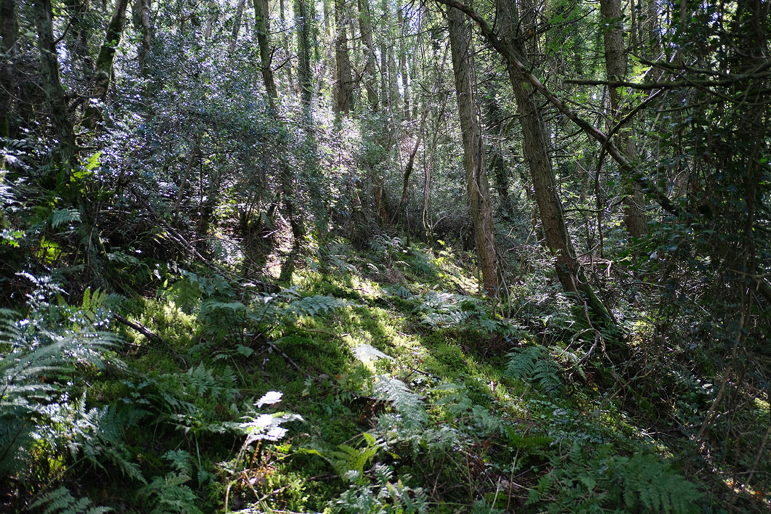
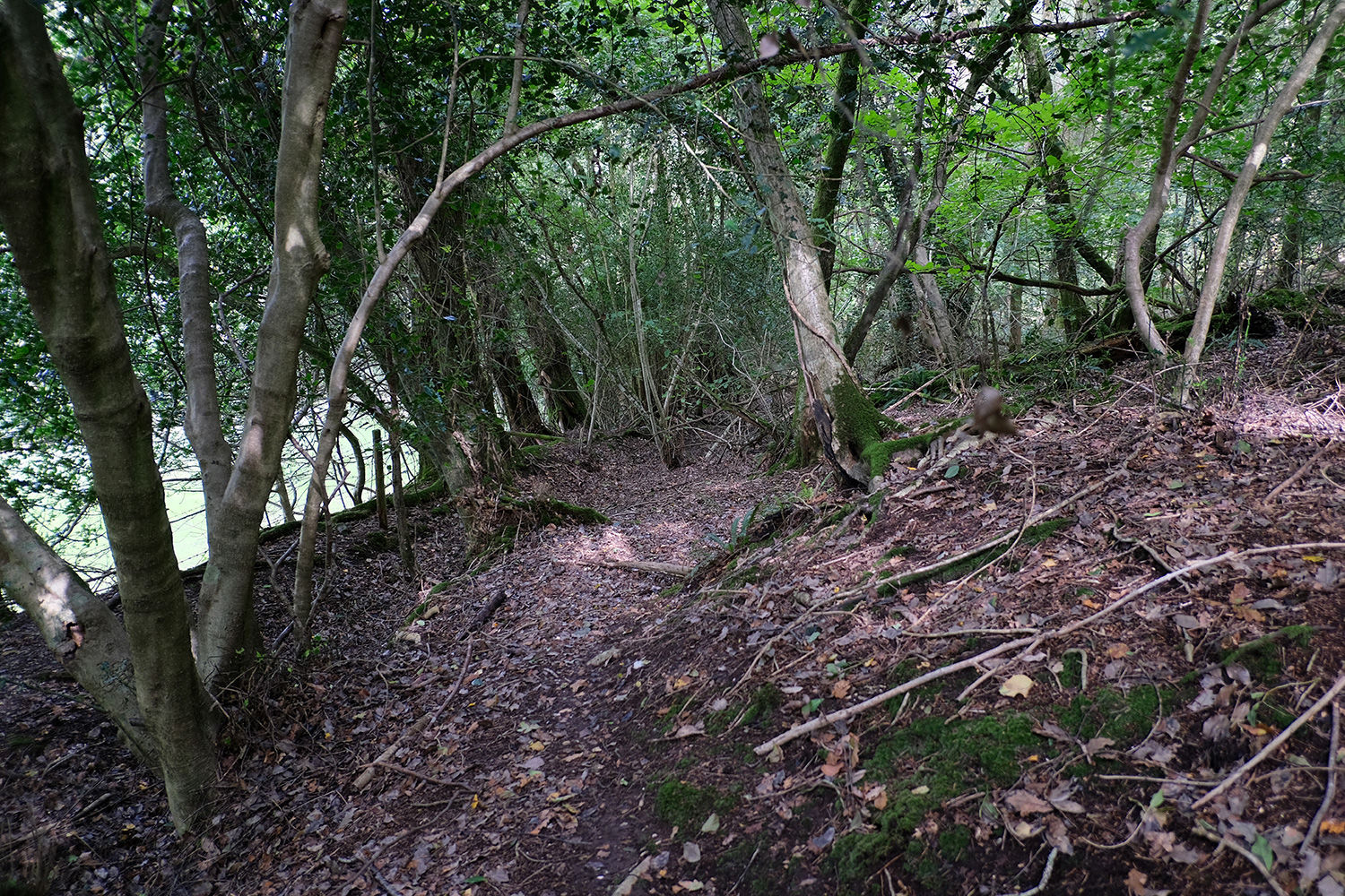
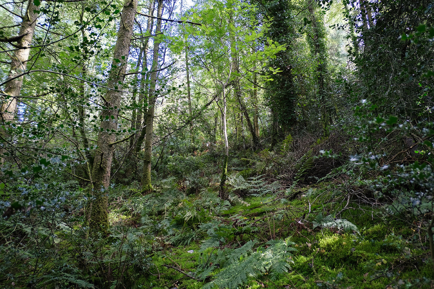
By contrast, the northern section presents stronger commercial prospects. While much of this area is sloping, the existing access track allows for efficient movement through the site and straightforward timber extraction. Douglas fir and spruce dominate the lower slopes, while along the northern boundary lies a section of native woodland with hazel, birch, holly, and ash.
Nearby, the popular coastal towns of Sidmouth, Branscombe, and Beer are within easy reach, with Weston and Branscombe beaches offering excellent local spots to visit.
The ward is Sidmouth Rural and the County Council is East Devon
Boundaries: (North section) The boundary is open E, W, S, and partially fenced N adjoining the field beyond. The main access track runs E to W through the centre of the wood. The boundary is marked with posts and green paint. (South section) Also open on all sides and bordered by neighbouring woodland E and W and a field S. North follows the main access track. The boundary is marked with posts and red paint.
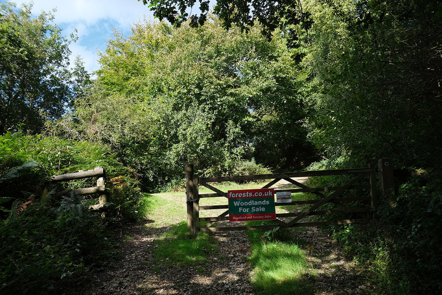
Access: There is excellent vehicle access all year round via shared locked gates. Parking is possible in the woodlands.
Covenant: There is a covenant on the wood designed to ensure the quiet and peaceful enjoyment of this and adjoining woodlands, click HERE to read and download.
Click HERE to see free OS maps.
Viewing: You are welcome to visit this wood by yourself, but please Click here to download and print a map showing the location of the woodland and ensure that you have a copy of these sales details with you. Many of our woodlands do not have mobile phone reception or internet access so we recommend either printing the details or downloading them to your phone or tablet. Please take care when viewing as the great outdoors can contain unexpected hazards and woodlands are no exception.
Maps: OS OpenData © Crown copyright and database rights 2025 & OpenStreetMap
Our Maps (Click on a map to see a large version)
Our Maps
Directions
Jacob's Ladder, Chelson Lane, Harcombe, Sidmouth, Devon
1. Click here for Bing Maps Directions click on the "Directions" box and enter your own postcode.
- For viewing purposes, park at the main entrance on Chelson Lane. Please don't block the access.
- Follow the track uphill until you reach the gate.
- The easiest way to explore both North and South is to start at the top (South).
- Pass by the gate and follow the track to the right heading uphill. Once at the top, bare left and pass by the clearing and picnic table (great views from here). Continue along the track for 150m, the entrance to (South) will be on your right.
- To access (North) pass through the boundary opposite the main entrance to (South). There are woodland paths that lead down through the wood, take care, it can be quite steep in places. After 100m heading downhill you will come to the access track in the centre of the wood, cross over and again head down into the woods on the other side, more open and much easier to navigate at this point. There is a wide track at the bottom and an access road heading back to the main gate.
- Alternatively, head back down the track to the main gate and bear right, after approx 350m you will reach the western boundary. Continue along the track and bare left and pass by the gate to access the lower section.
2. For Satnav: the nearest postcode is EX10 0PR as shown by the marker on the maps. The main coordinates for access and parking are: 50.712152, -3.194667. W3W: ///jingles.brimmed.oblige
3. We recommend downloading OS maps to your phone. It's handy for giving you an idea of where you are on the ground when viewing woodlands.
Please note: the particulars with plans, maps, descriptions and measurements are for reference only and although carefully checked we cannot guarantee their accuracy and do not form part of any contract. Any intending purchasers must satisfy themselves by inspection or otherwise as to the correctness of these particulars.
Location maps
View and print this wood's location on Bing Maps »
Interested in this woodland? Get in touch with us:
Contact Ben Williamson on 07958 213 914 or email us at [email protected] with your details.