Allt Dol-felfed. Pembrokeshire
Details for this wood
Guide price: £200,000 - Freehold
Size: Just over 39 acres
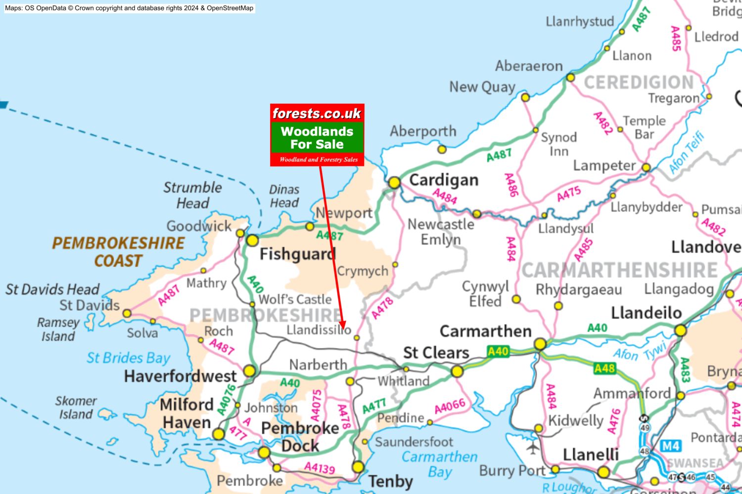
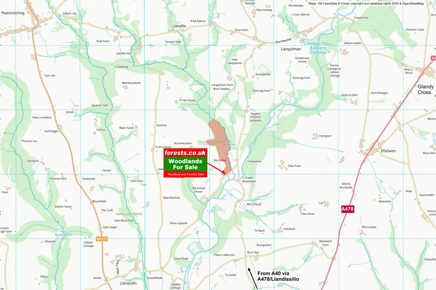
Location: Llanycefn, Clynderwen, Pembrokeshire
OS Landranger: 158
Grid ref: SN112249
Nearest post code: SA66 7QJ
Contact: Sandra Colley
Phone: 07769654392
Email: [email protected]
Email to a friend
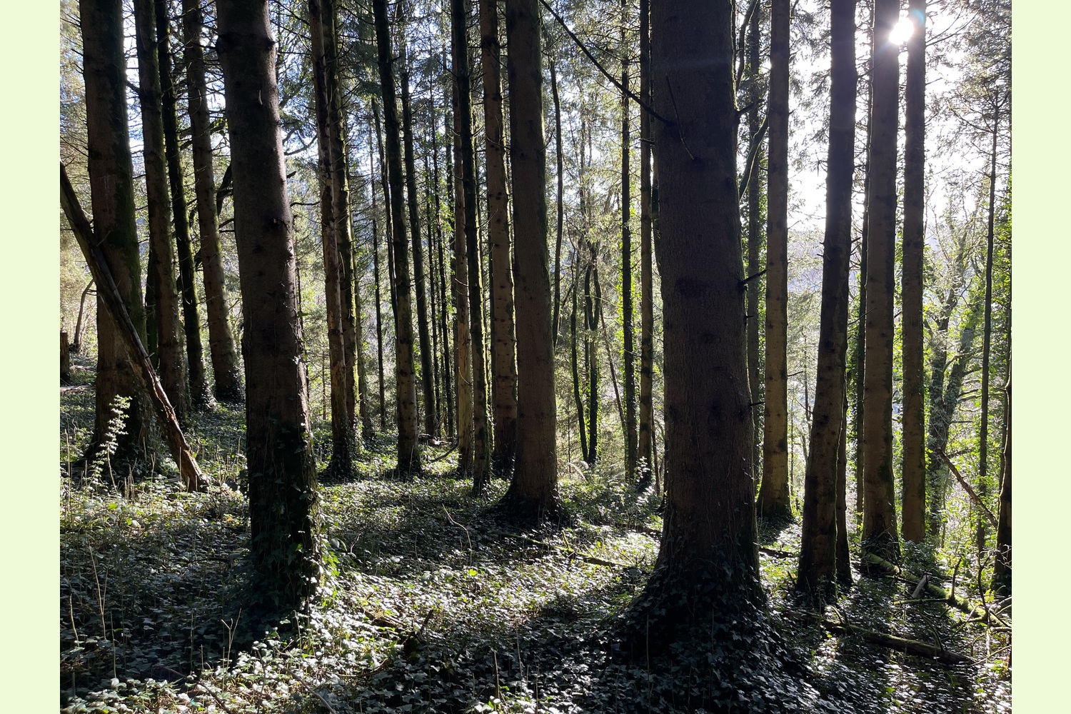
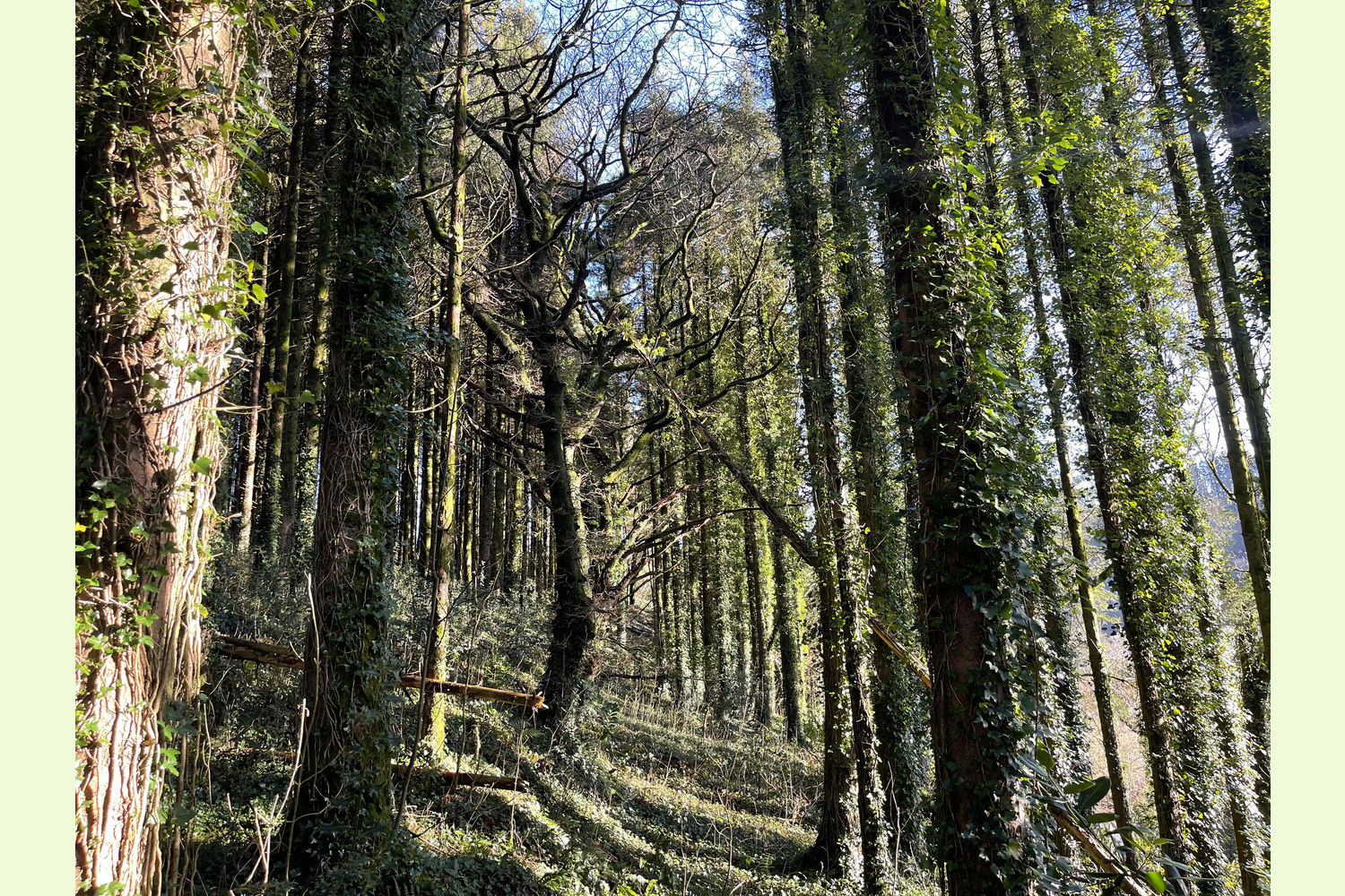
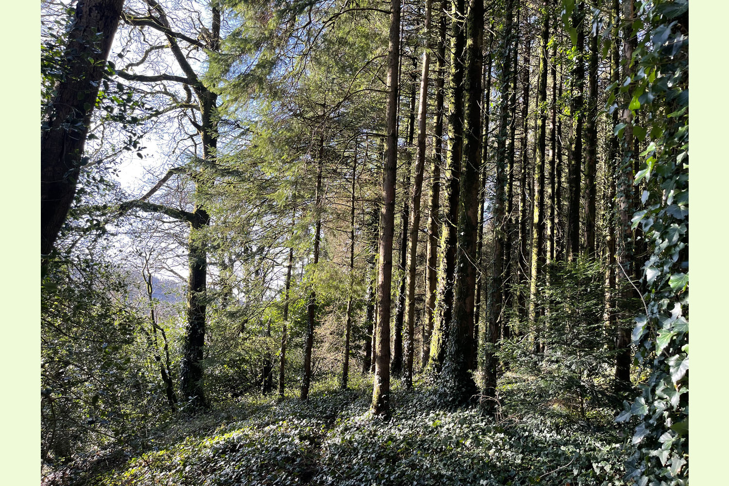
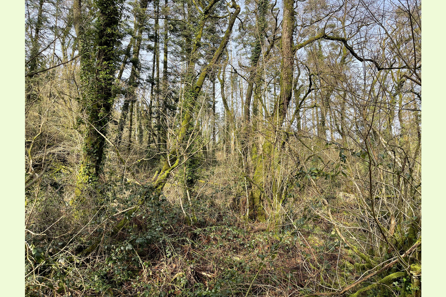
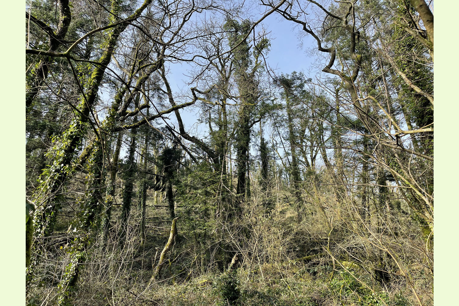
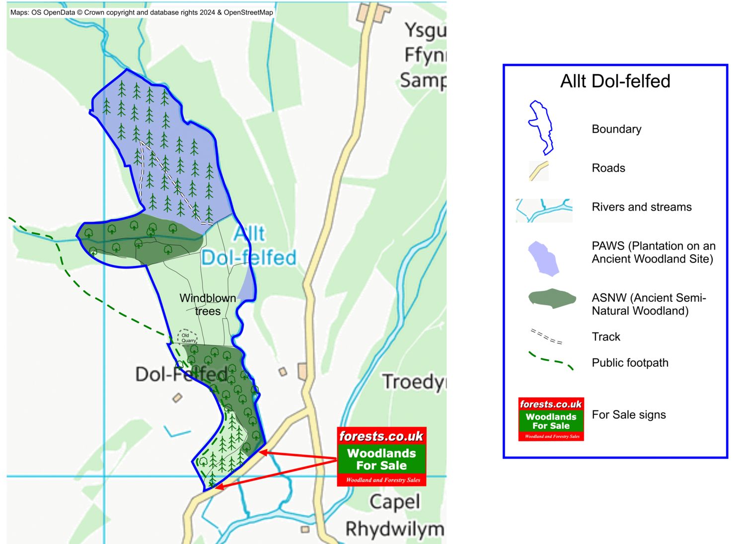
Allt Dol-felfed is a mixed woodland, partly ancient woodland, with oak, beech, ash, sycamore and other mixed broadleaves, and with about half planted with Norway Spruce and other conifers. Access to this wood is slow going in places, and harvesting the conifer crop, if desired, would best be described as “challenging”!
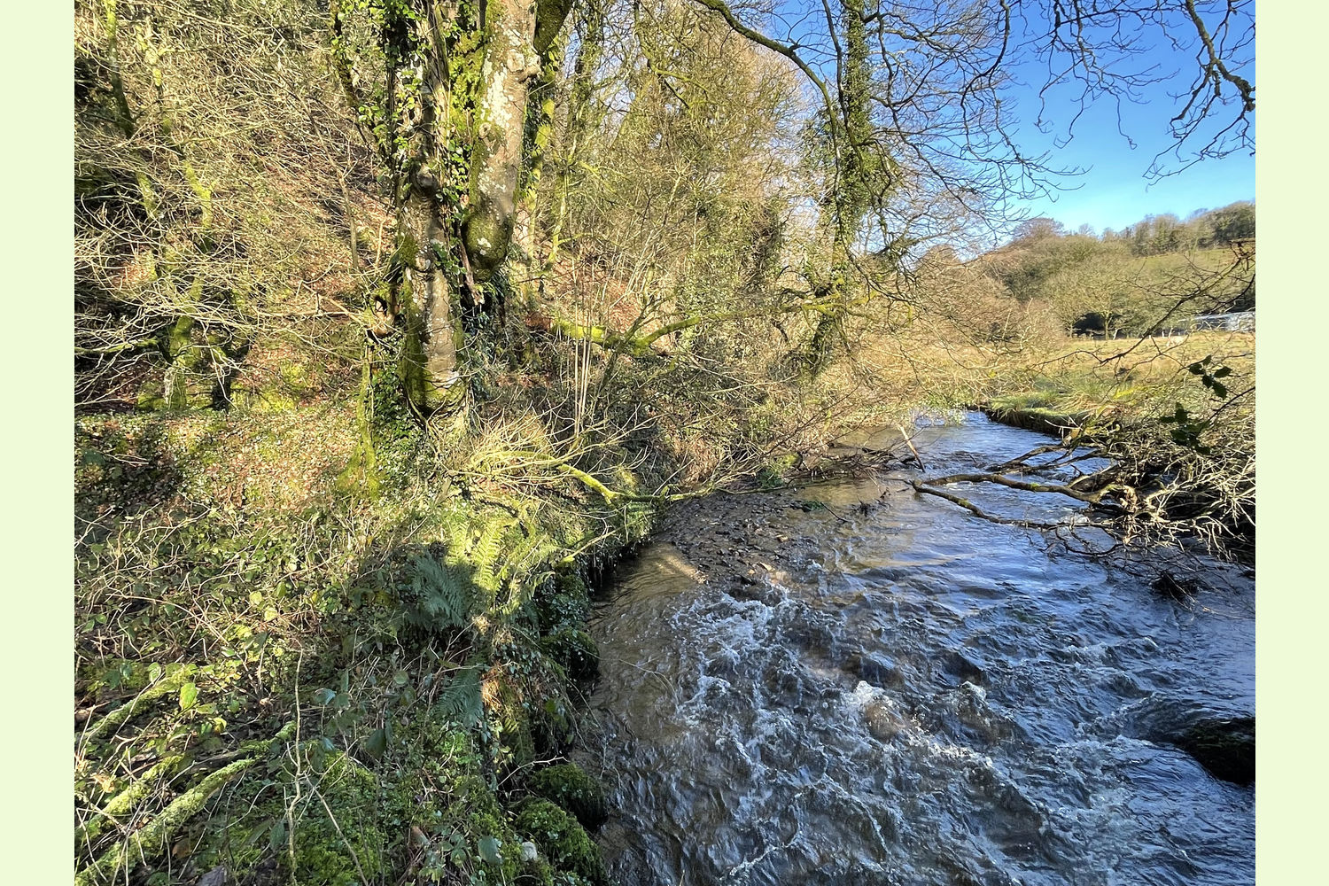
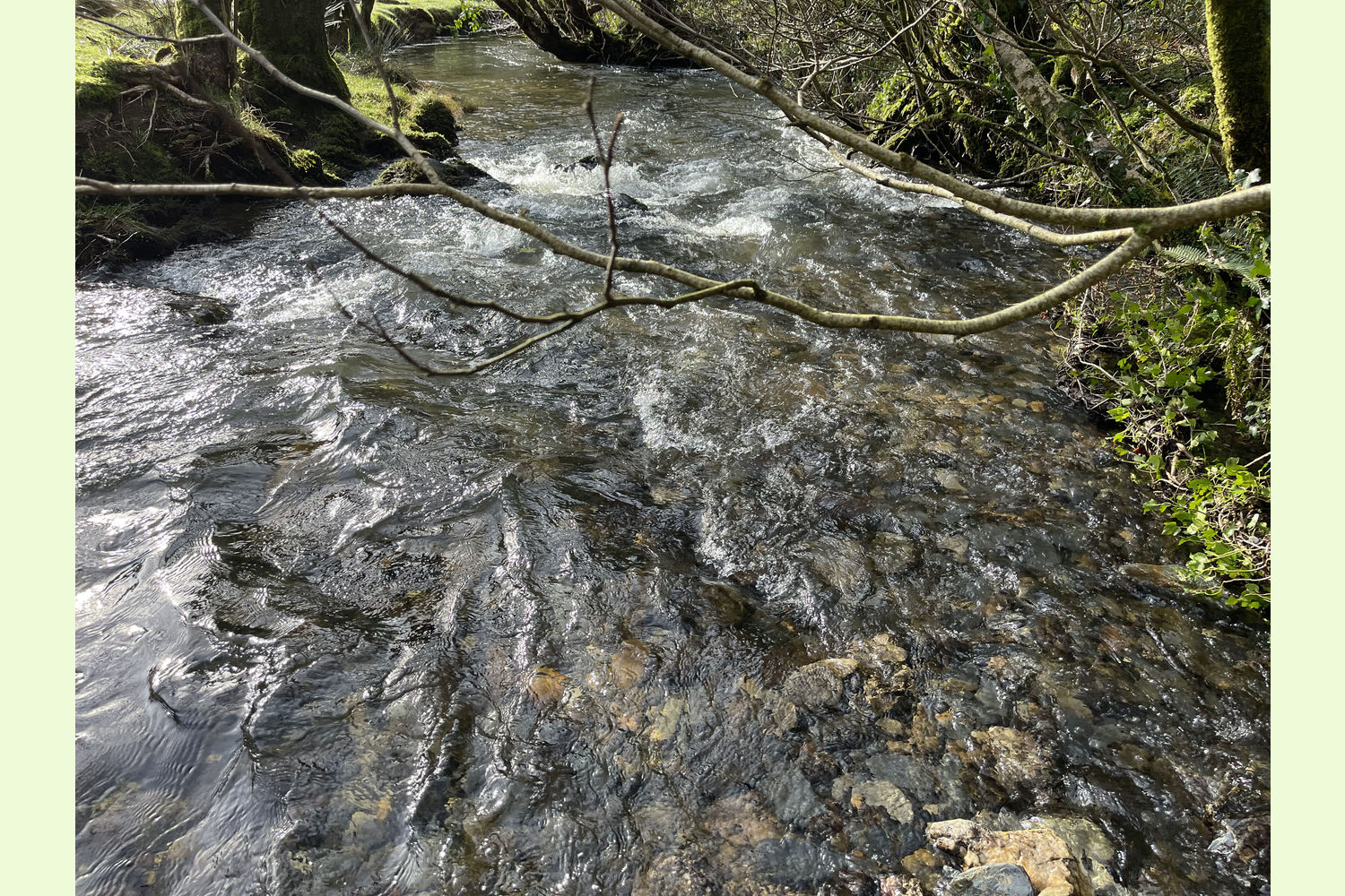
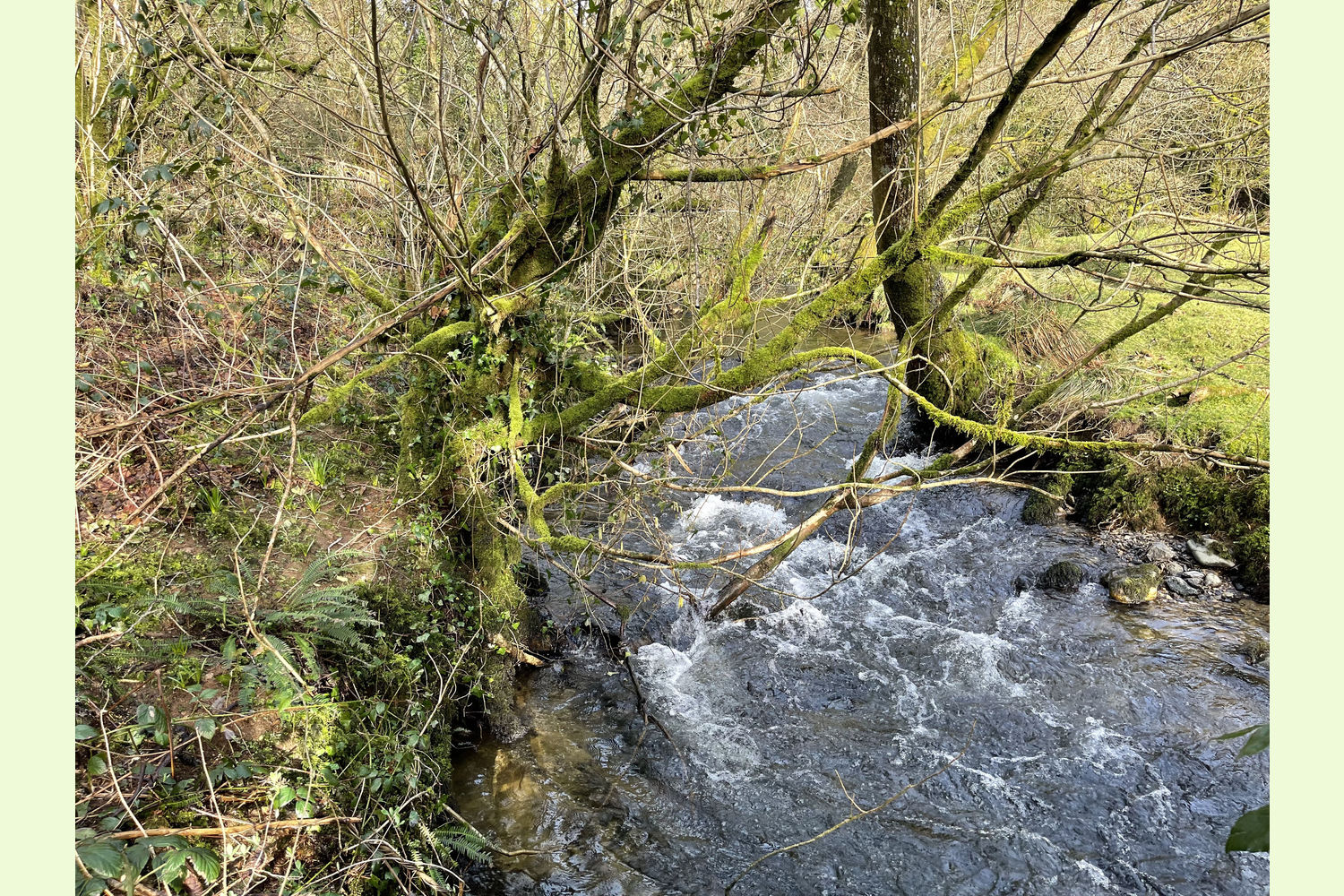
The wood is primarily south- and east-facing, running along the side of the valley of a stream that feeds into the Eastern Cleddau a few yards south of the wood The whole width of the stream is included within the boundary of Allt Dol-felfed.
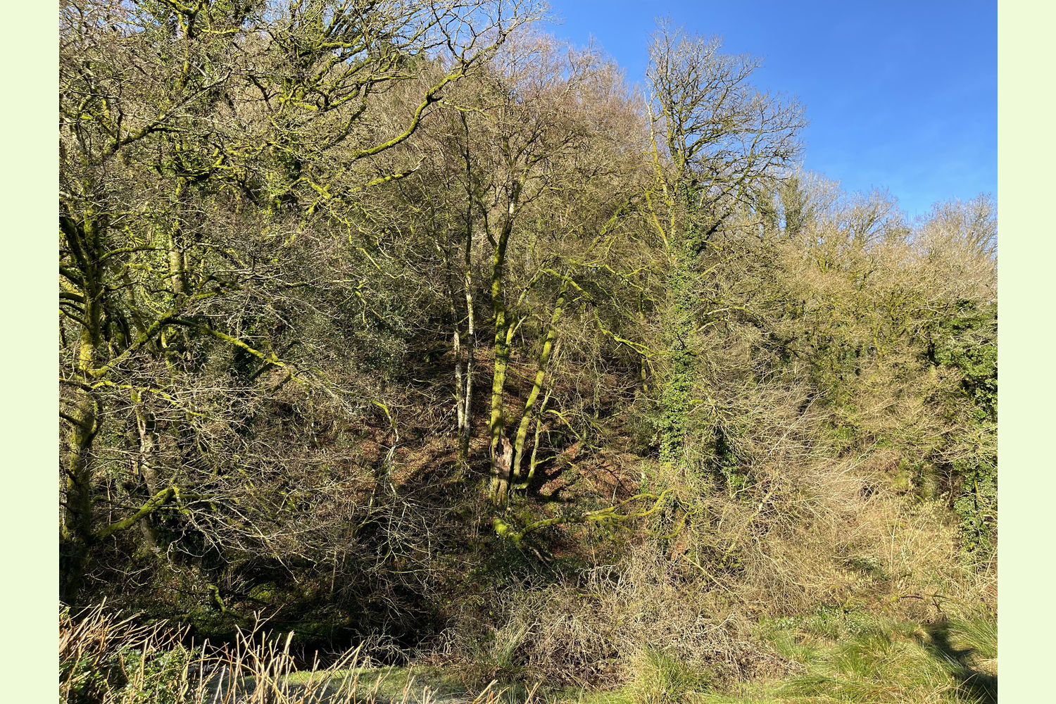
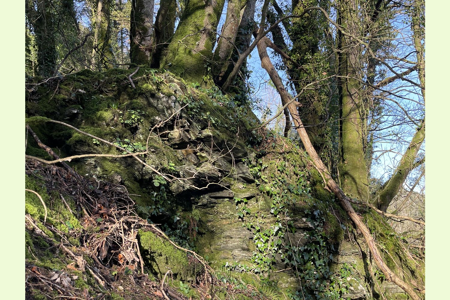
The northern end of the wood is classified as PAWS (a Plantation on an Ancient Woodland Site). A smaller area in the centre of the wood, and an area towards the southern end, are classified as Ancient Semi-Natural woodland. This means that the ancient woodland parts have had continuous tree cover for at least 400 years.
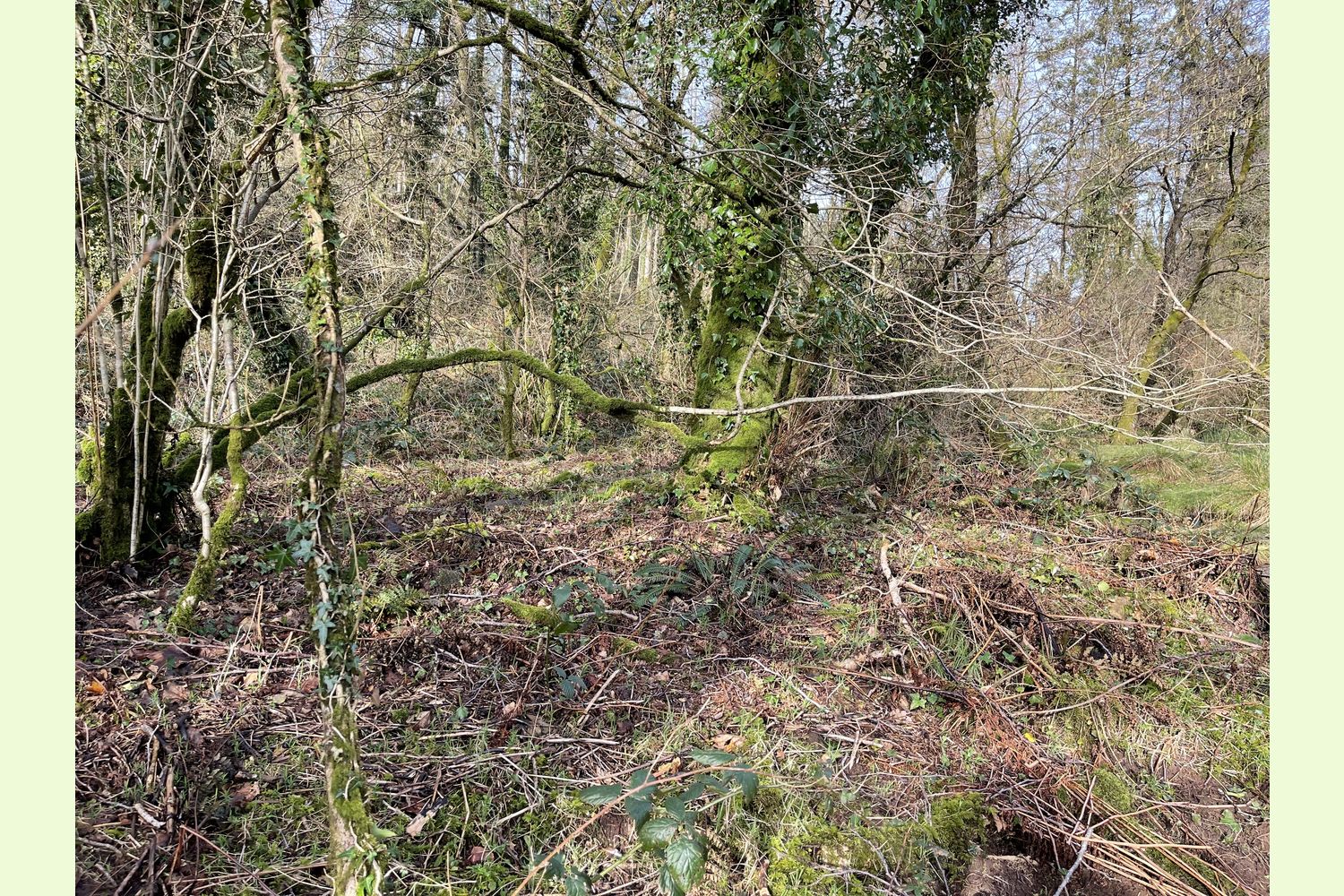
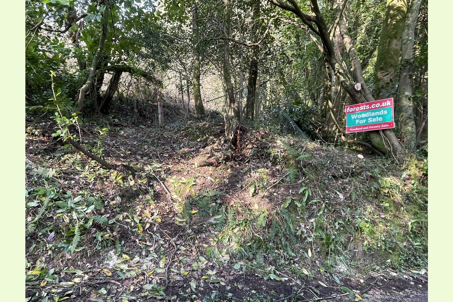
Access: the wood is currently only accessible on foot from the road at the southern edge, along the route of a public footpath. At the moment, this path is partly obstructed by trees, but this area of the wood is well-spaced, with little undergrowth, so it is easy to find a route to walk through.
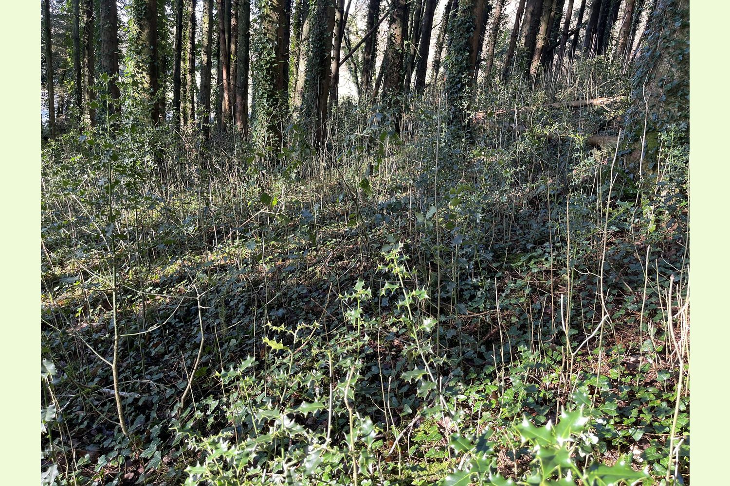
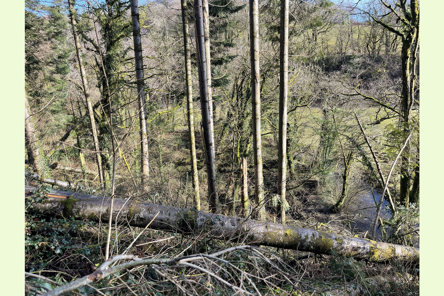
A large part of the centre of the wood has suffered extensive windblow over the last few years, much now covered by a healthy profusion of brambles, making progress through this area exceptionally challenging and slow.
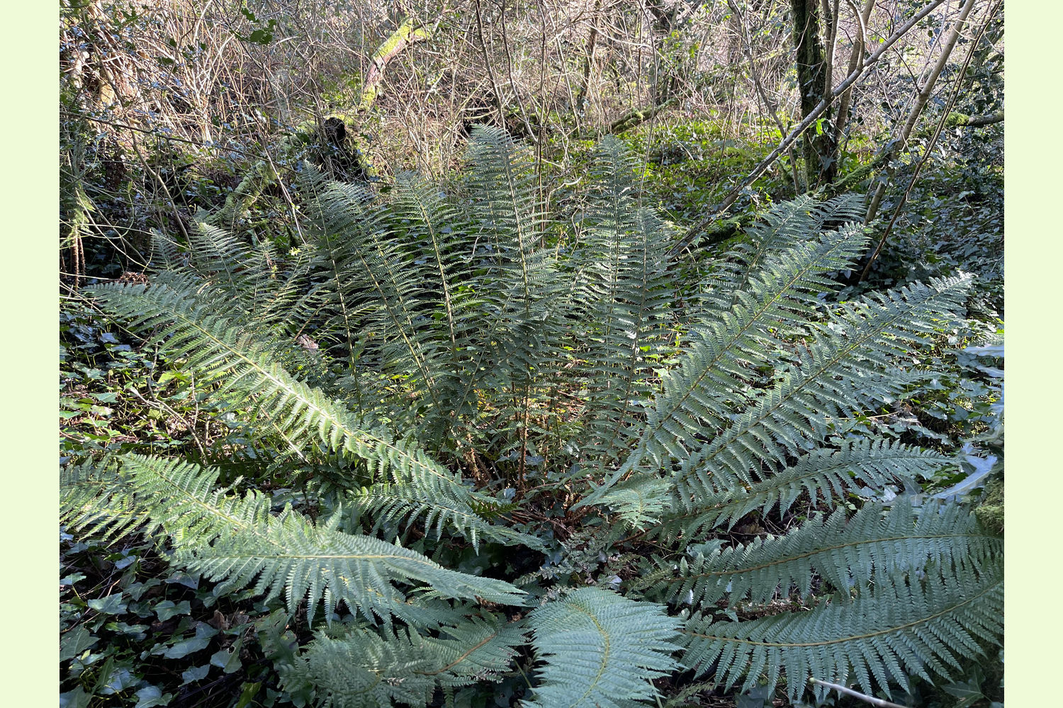
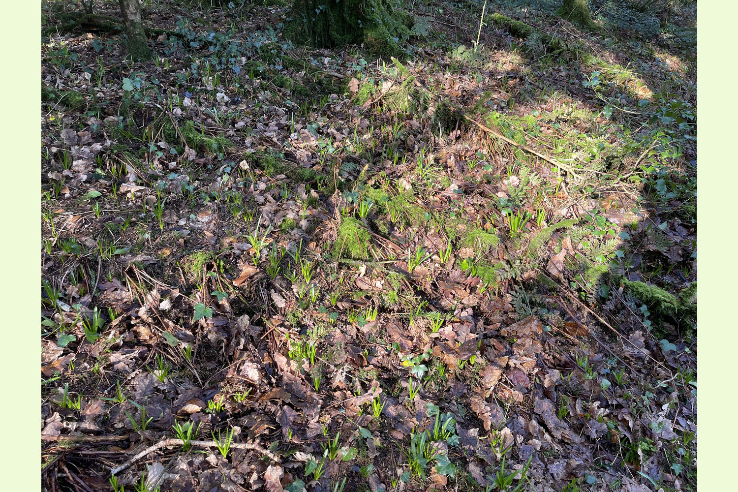
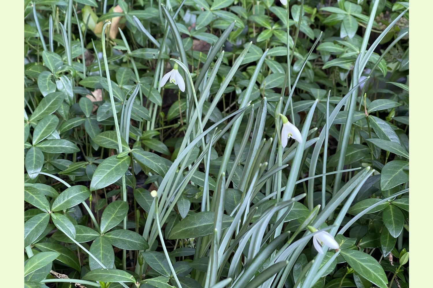
Wildlife: In the spring, the wood is alive with the sound of birdlife. While taking photographs for the sales particulars a variety of species were seen or heard, including Nuthatch, Wren, Marsh Tit, Blue Tit, Great Tit, Robin, Blackbird, Blackcap, Chaffinch and Song Thrush. A variety of woodland flowers can also be found in the spring, including snowdrops and bluebells.
Boundaries: the eastern boundary is the river. The southern boundary is the public highway. All other boundaries are believed to be fenced. There are no known fencing liabilities.
Sporting rights: Included.
Mineral rights: Not included (but ownership unknown).
Stocking Schedule: the wood was planted with over 17 acres of Norway Spruce, just over an acre with a mixture of Sitka Spruce, Grand Fir, and Noble Fir, by the owners, the Forestry Commission, in 1966, with the remaining area of almost 21 acres being uneven aged broadleaves. The Forestry Commission sold the wood in 1991.
Public access: there is a public footpath through the southern end of Allt Dol-felfed. A neighbouring land owner has a right to drive cattle over a route through the middle of the wood, but it is a right that may no longer be exercised.
Local area: the wood is just 6 miles north of the A40, Narberth is just over 7 miles to the south and Haverfordwest is 14 miles to the south-west. Tenby is 19 miles away.
VIEWING: You are welcome to visit this wood by yourself. Please ensure that you have a copy of these sales details with you: we recommend either printing the details or downloading them to your phone/tablet/laptop before you go. Please take care when viewing as the great outdoors can contain unexpected hazards and woodlands are no exception.
Our Maps (Click on a map to see a large version)
Our Maps
Directions
From the south, east and west, via the A40
Leave the A40 near Narberth onto the A478 towards Clynderwen
Follow the A478 for three and a half miles through Clynderwen and Llandissilio
As you leave Llandissilio, turn left (un-signposted) opposite the Bush Inn
After one mile, at a staggered crossroads, carry straight on signposted Rhydwilym
Continue for one mile, then take a left turn signposted Llanycefn – 2 miles
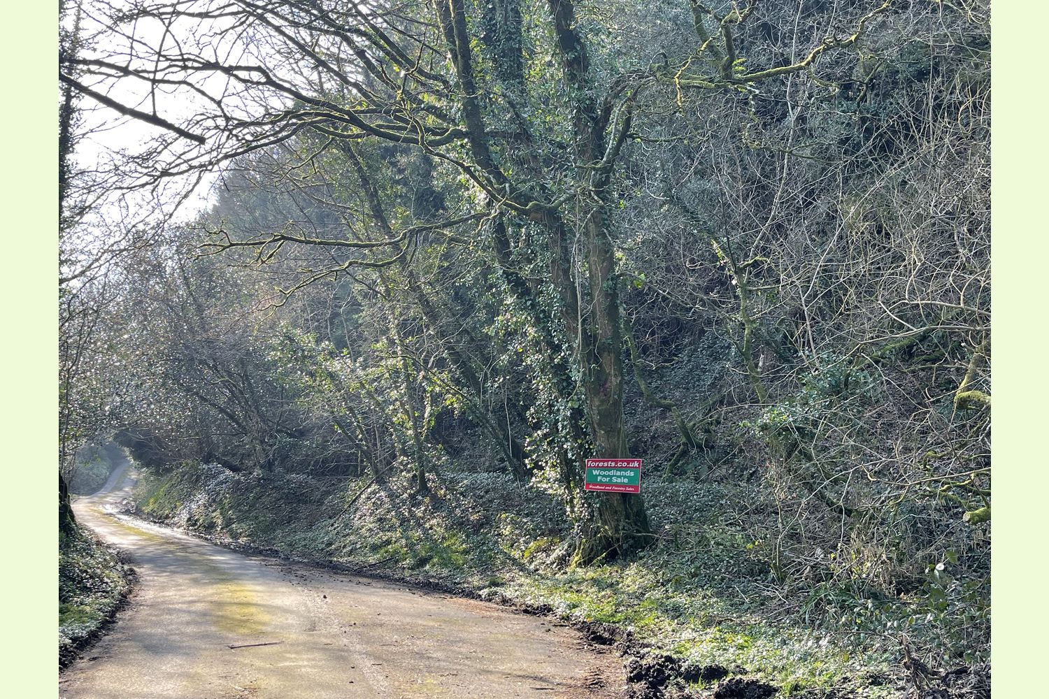
After 150 yards, just after a small bridge, park in the layby on the right hand side next to our “Woodland For Sale” sign (see photo 17)
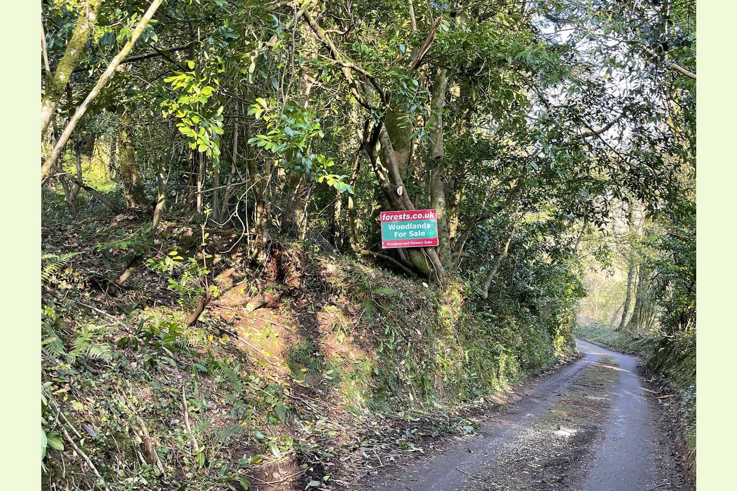
The footpath giving access to the wood is 150 yards further along the road (see Photo 18 & 19).
If following Satnav
The nearest postcode SA66 7QJ will take you to Llwydiarth Mill, a quarter of mile to the west of the layby at the south-east corner of the wood.
The layby at the south-east corner of the wood is at:
- Coordinates: 51.89209, -4.74334
- What3Words: suspended.curtail.cabin
The footpath into the wood starts at:
- Coordinates: 51.89114 , -4.7449
- What3Words: surface.shame.input
Please note: the particulars with plans, maps, descriptions and measurements are for reference only and although carefully checked we cannot guarantee their accuracy and do not form part of any contract. Any intending purchasers must satisfy themselves by inspection or otherwise as to the correctness of these particulars.
Location maps
View and print this wood's location on Bing Maps »
Interested in this woodland? Get in touch with us:
Contact Sandra Colley on 07769654392 or email us at [email protected] with your details.