

Coed Capel Cywyn, Carmarthenshire
Details for this wood
Guide price: £57,000 - Freehold
Size: Just over 6½ acres
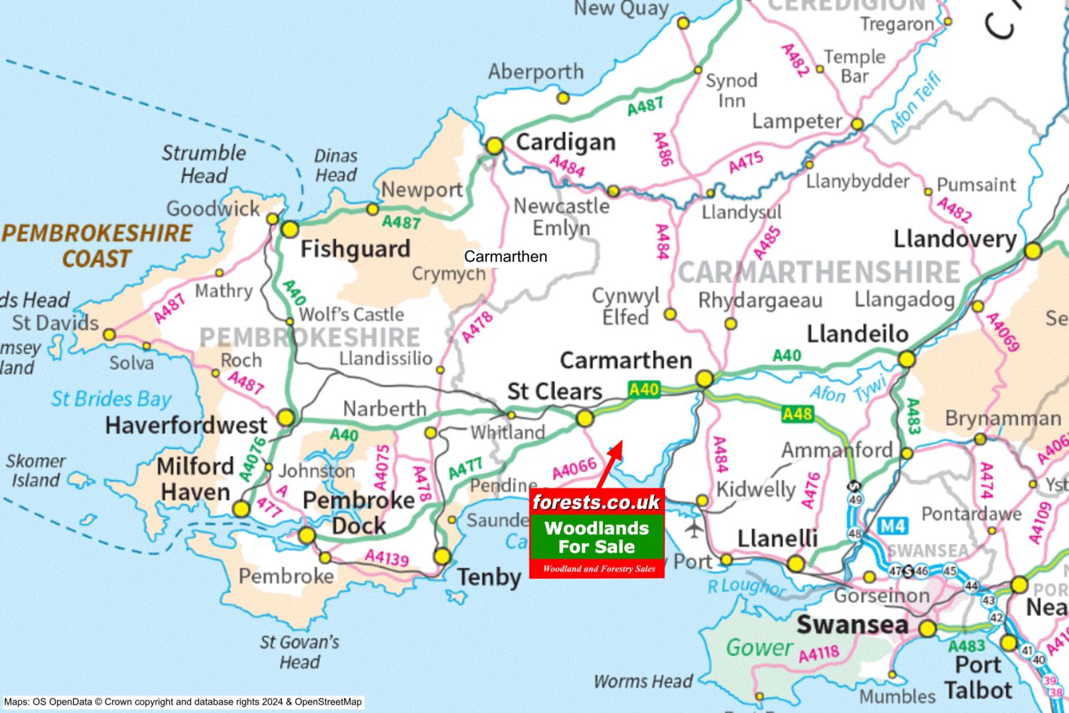
Location: Llanybri, Llansteffan, Carmarthenshire
OS Landranger: 159
Grid ref: SN323143
Nearest post code: SA33 5HY
Contact: Sandra Colley
Phone: 07769654392
Email: [email protected]
Email to a friend
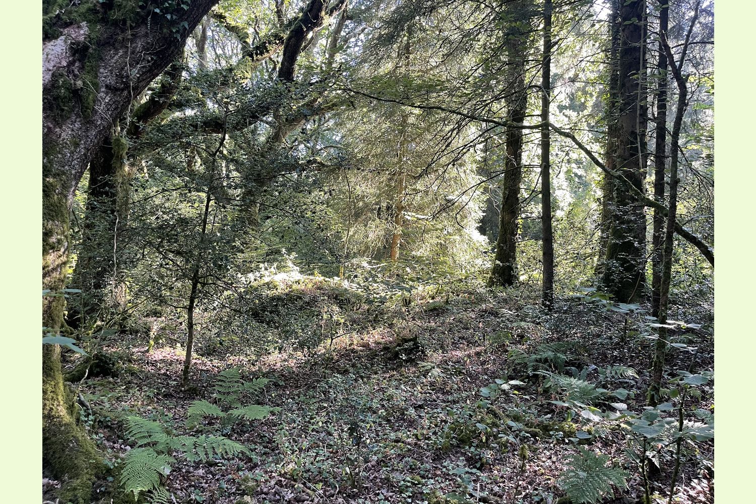
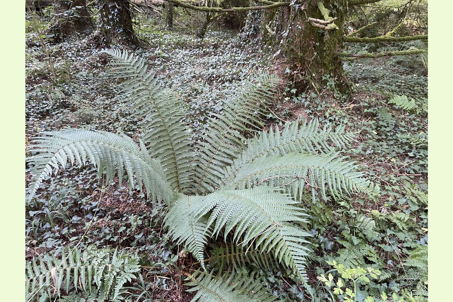
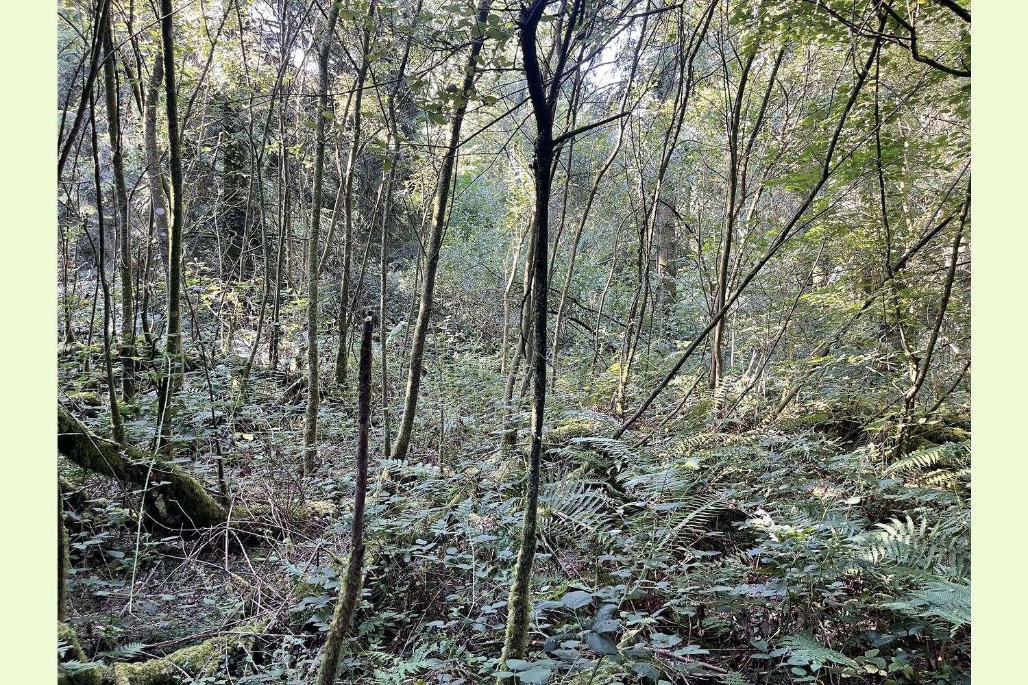
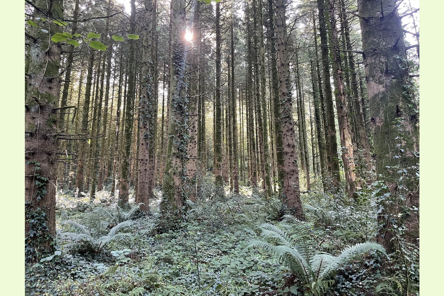
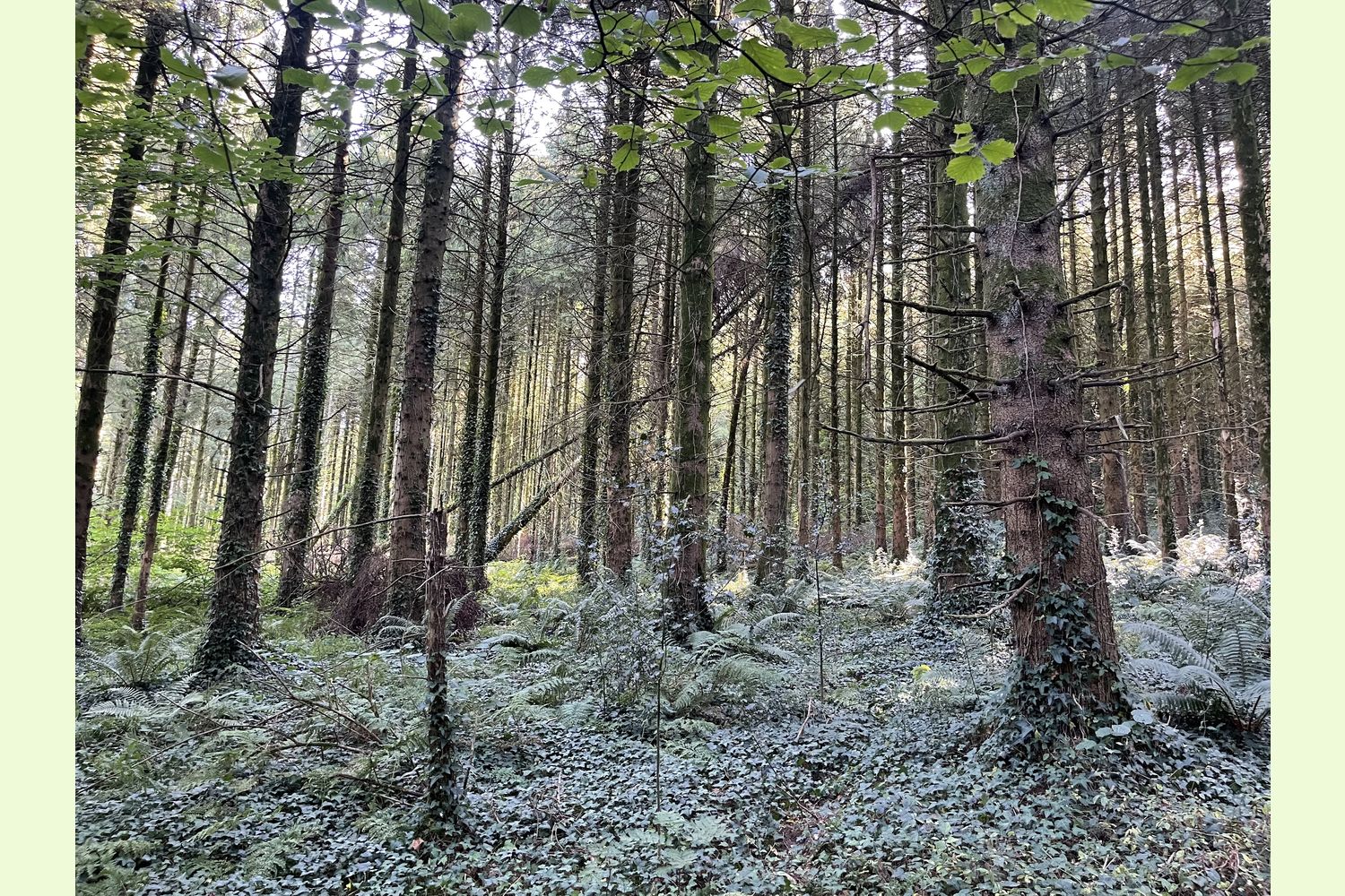
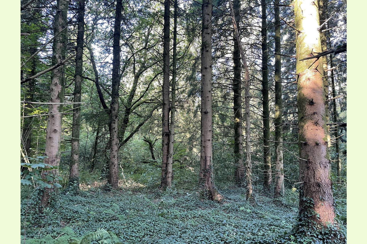
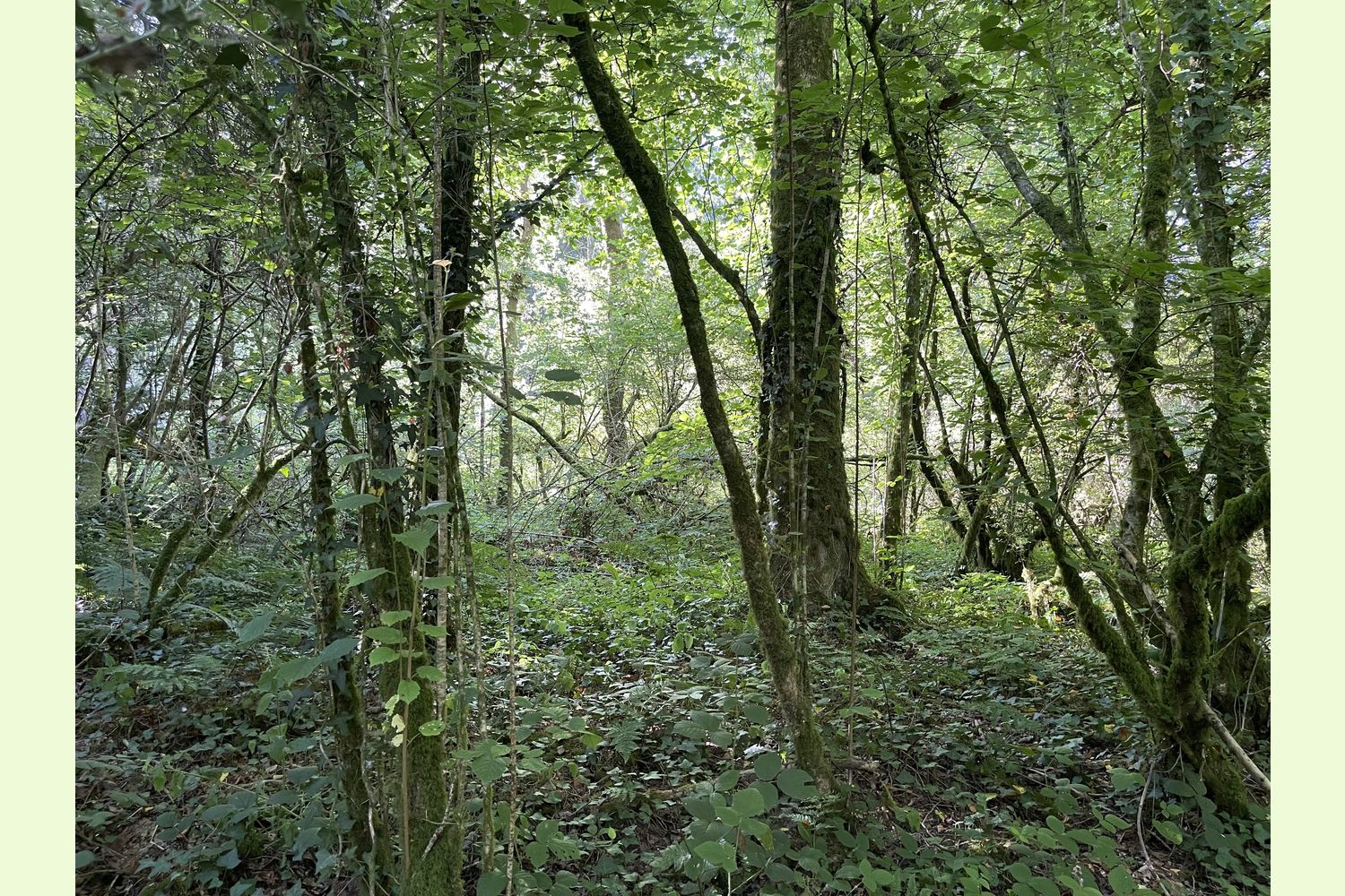
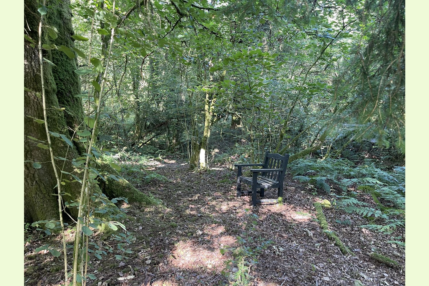
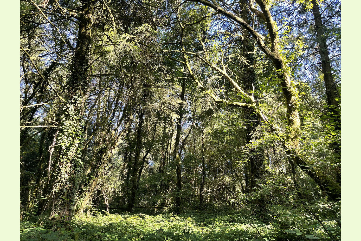
Coed Capel Cywyn is a very quiet, private woodland, set in the north western corner of Allt y Gelli, closest to the Taf estuary. It presents a good opportunity to diversify the tree species in the woodland as it is a wood of two halves: the rear half of the wood is primarily young broadleaves, while the front currently mainly consists of spruce which would benefit from thinning.
It's a lovely location close to the village and estuary beach of Llansteffan, reachable by foot via the footpath which crosses through the centre of the wood, and the location and level ground throughout the wood mean there is great potential here to create camping areas for family forestry. Parts of the larger woodland Allt y Gelli (although not Coed Capel Cywyn itself) are designated PAWS (Plantation on Ancient Woodland Site), and there is a small area of Ancient Semi Natural Woodland in the centre of Coed Capel Cywyn. From what we are now learning about the connectivity of tree growth and the microrhyzome networks within soil and forests, this could well be seen to have a beneficial impact on any new planting in Capel Cywyn and its development or restoration.
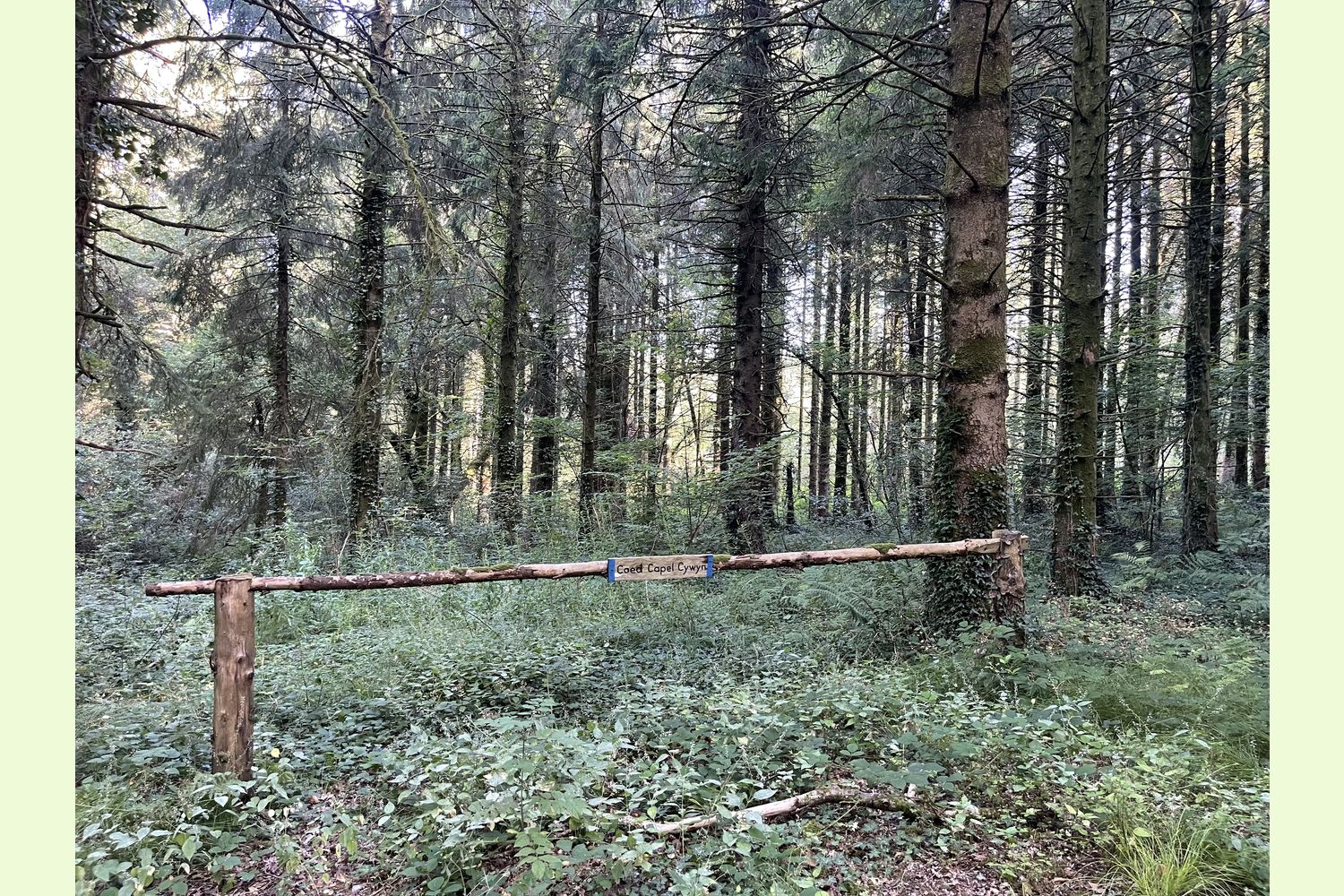
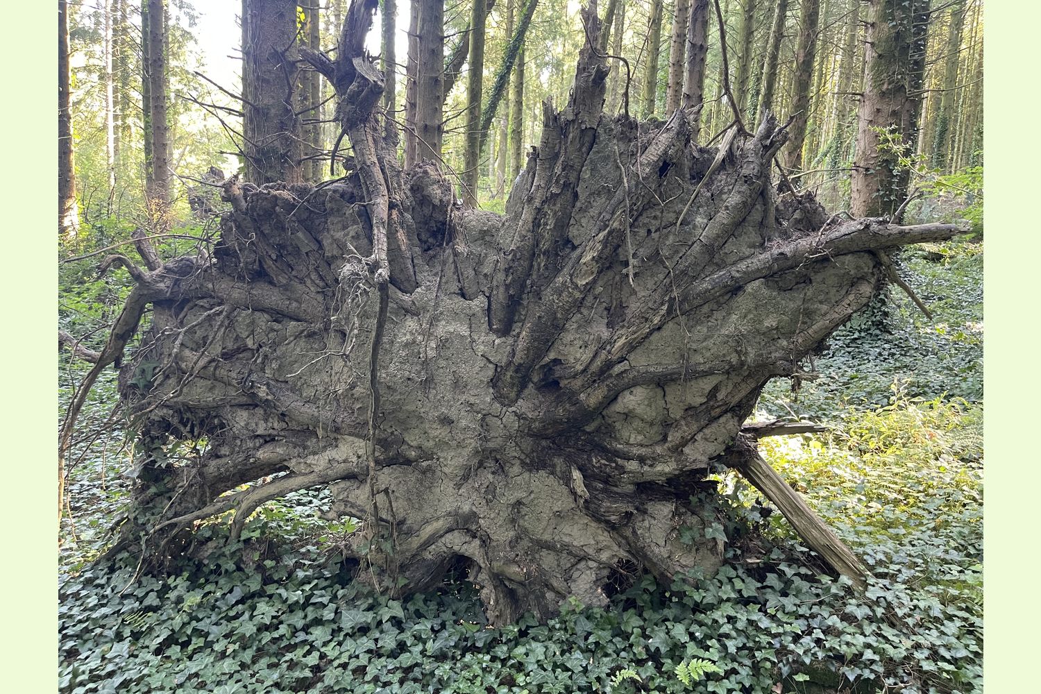
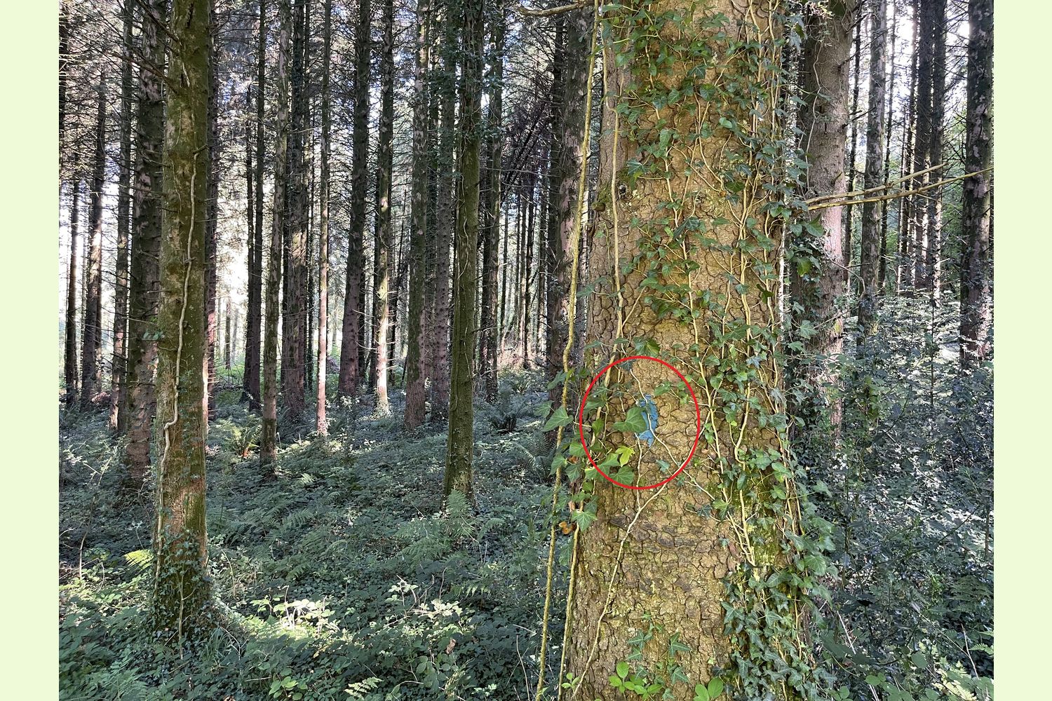
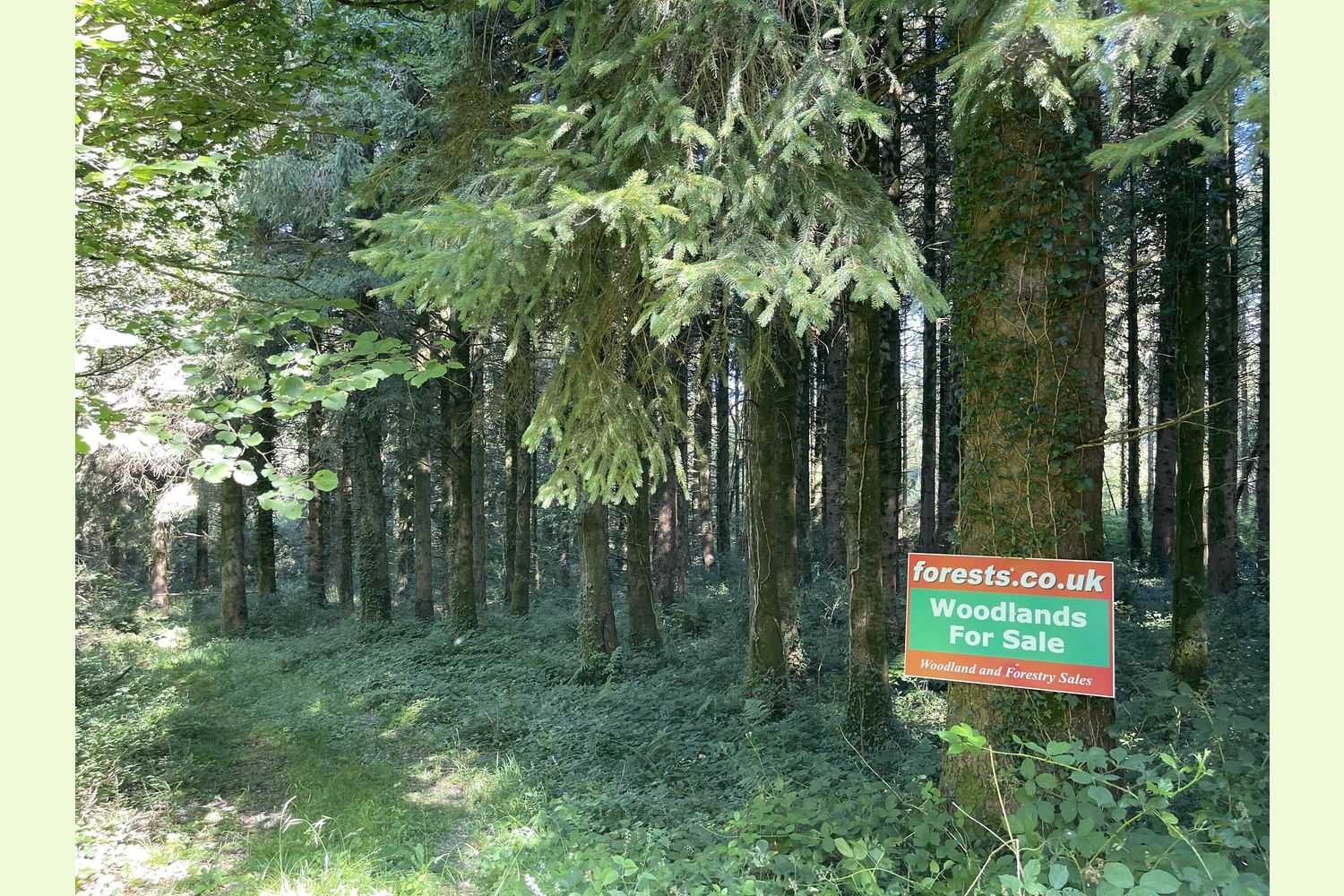
Trees: Coed Capel Cywyn is predominantly spruce. Planting records, unfortunately incomplete, suggest that it was planted with mainly Norway Spruce in 1962, but there are no records of subsequent planting. The planting is dense and would benefit from thinning, but the benefit of this planting is the shelter and privacy it provides, which could be made use of to shelter areas of new planting in diversifying the woodland. There are a lot of windblown trees in the wood at the moment, but these would provide an easily accessible source of timber or firewood.
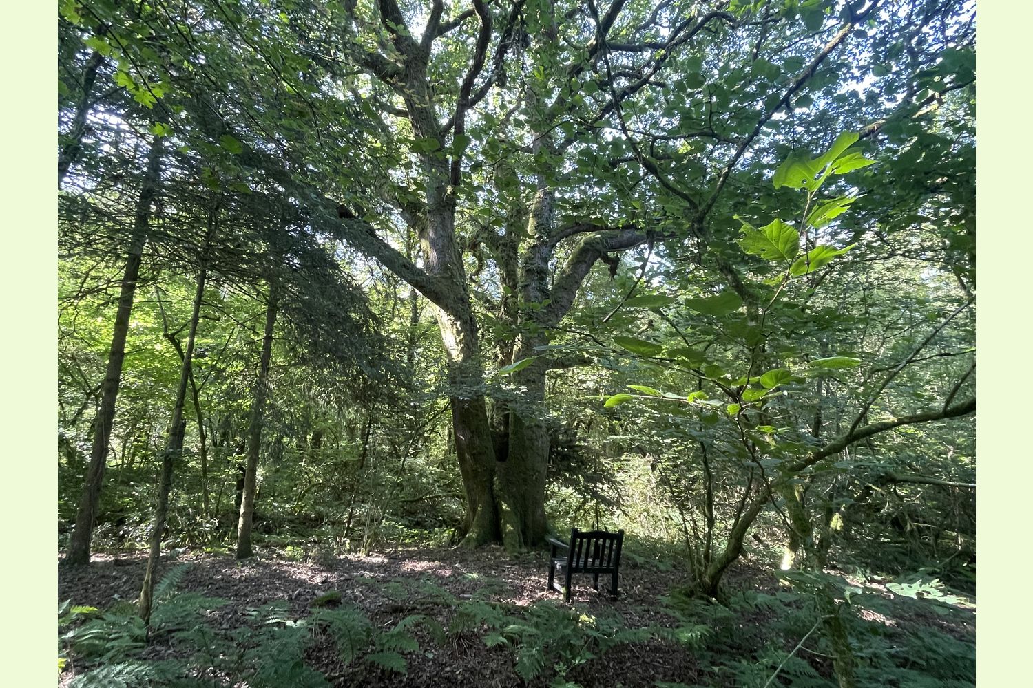
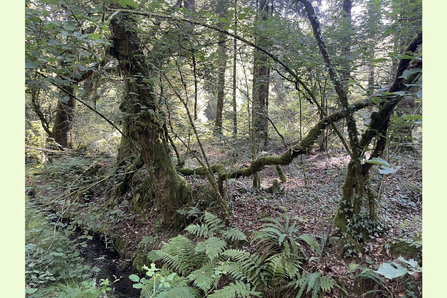
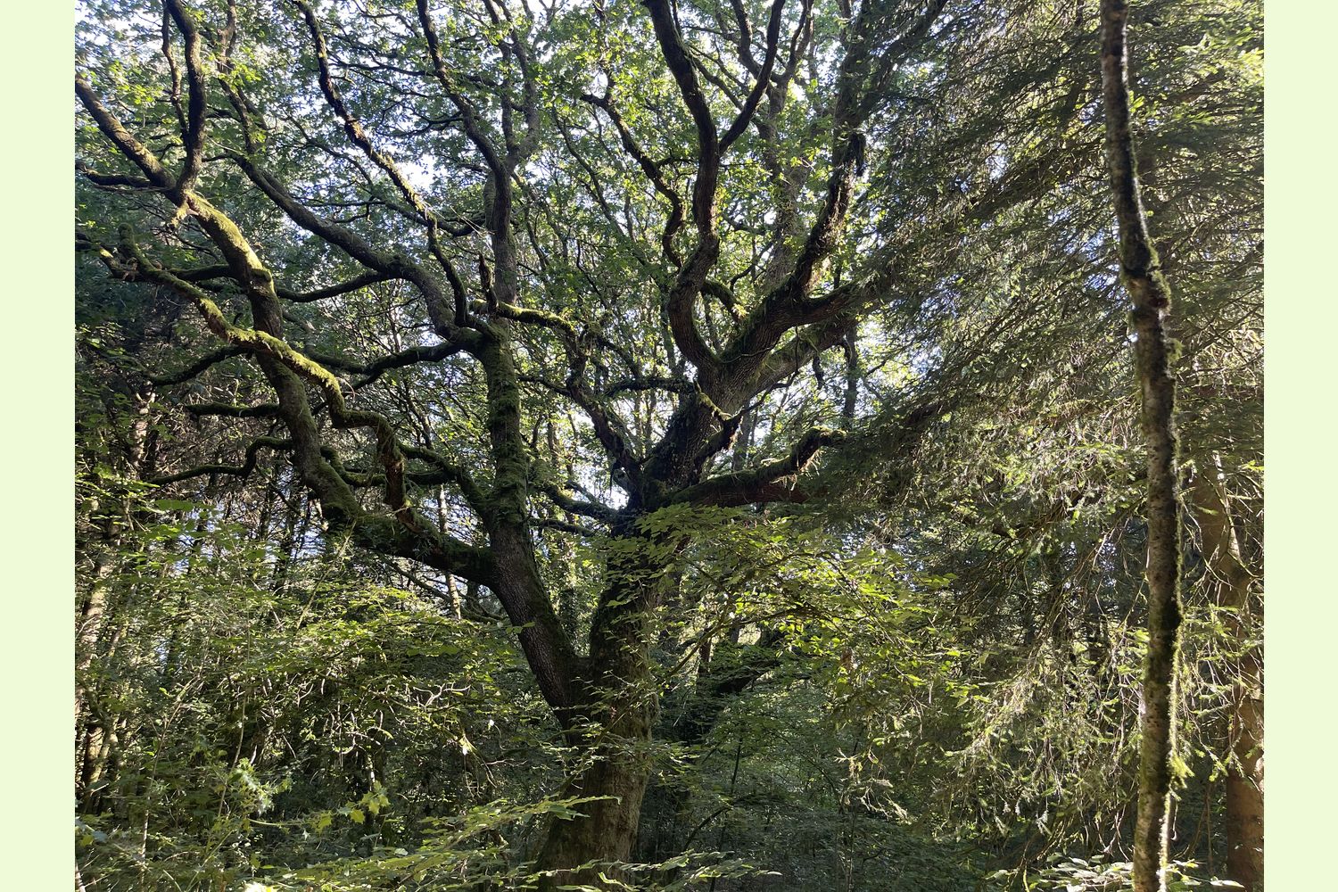
Along the earth bank which forms the western boundary, you will find some lovely specimens of oak, and the streams and earthbanks elsewhere in the woody support broadleaf species of various ages including hazel, holly, ash, oak and birch.
Wildlife: The proximity of Coed Capel Cywyn to the Taf estuary means sea birds can be seen and heard, wheeling above.
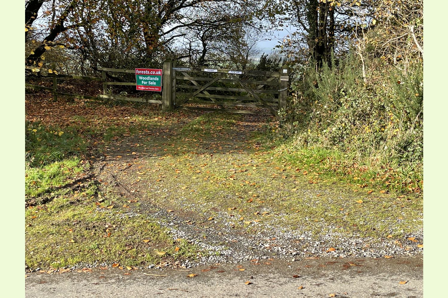
Access: A good stone track, steep in part, gives access to Coed Capel Cywyn from the locked gated entrance off a minor public road.
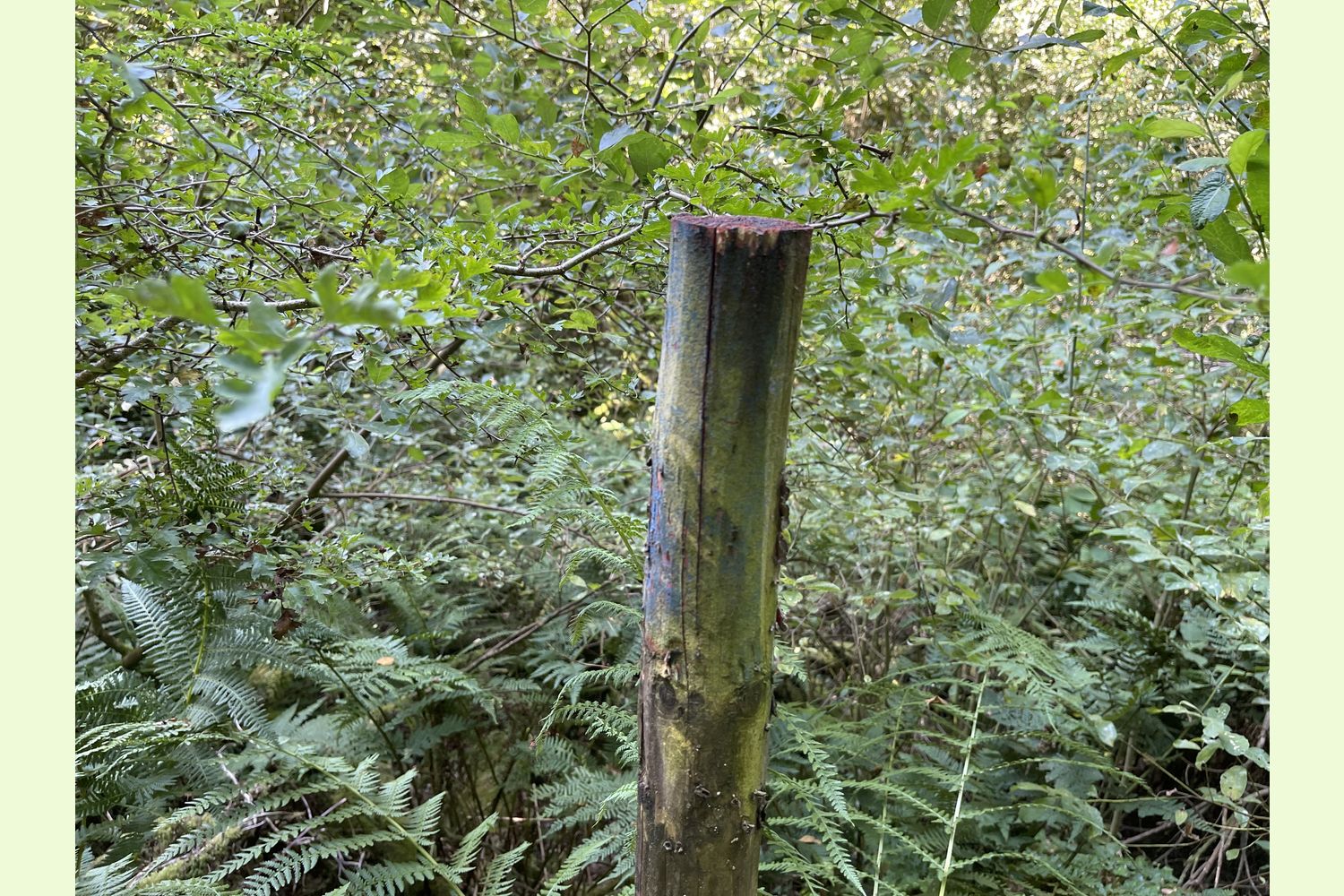
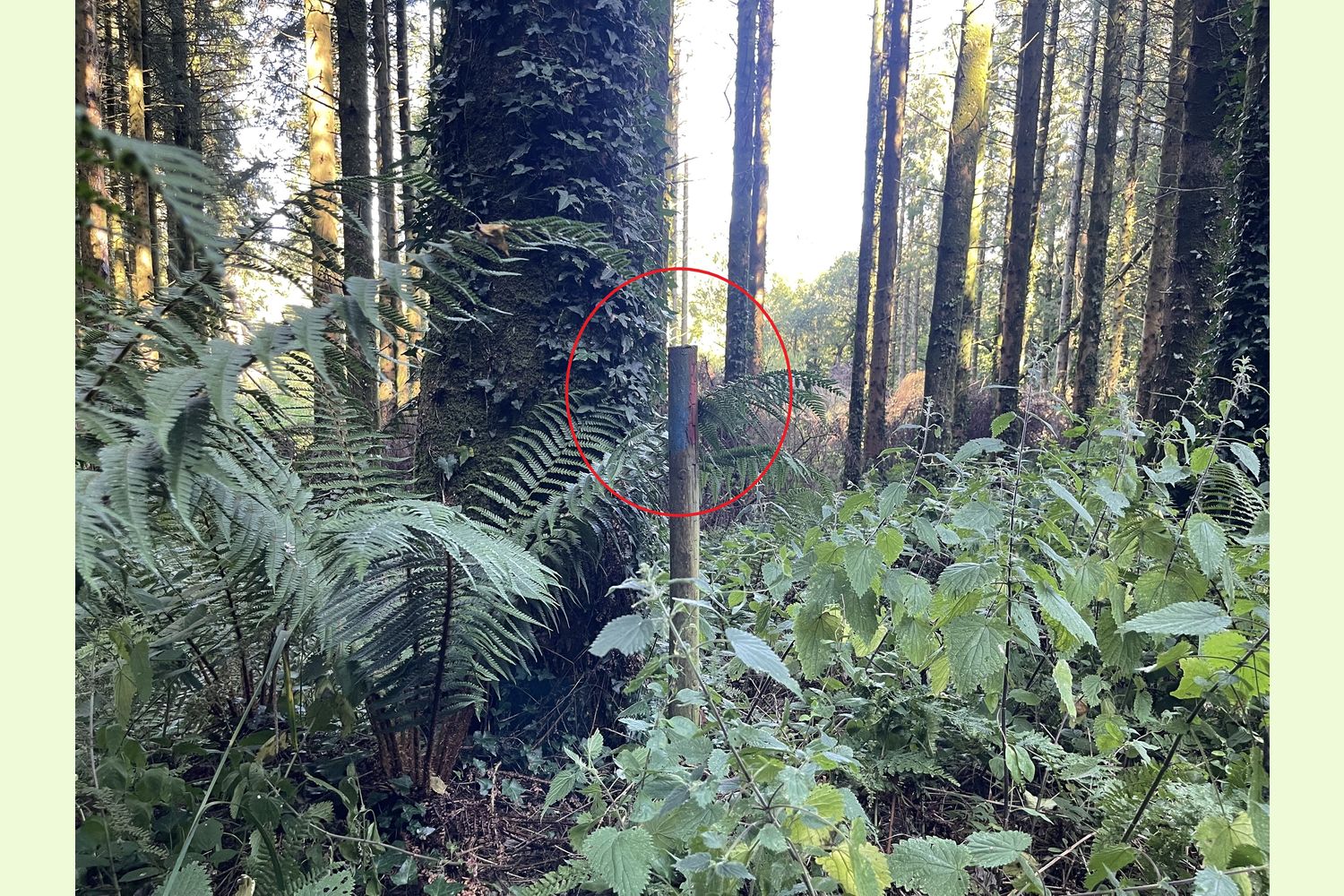
Boundaries: The northern boundary is fenced from adjoining farmland. The western boundary is an earthbank. The northern third of the eastern boundary is an earthbank, the middle third cuts through the conifers and is marked just with marker posts. The southern third of the eastern boundary, and the southern boundary, are the access tracks.
Fencing: ownership unknown and no known fencing obligations
Ground conditions: Almost all of the wood is pretty dry underfoot in the summer. Most of the wood stays dry in the winter as well, but there are a few areas, particularly near the stream, that can be very wet and boggy, even in the summer. If you encounter one of these areas when viewing it is best to go round it!
Local area and history: Laugharne, where Dylan Thomas' house and writing shed can be visited, is just across the Taf estuary to the west, and the lovely village, beach and castle of Llansteffan is 10 minutes to the east.
From Llansteffan it's possible to catch the famous amphibious ferry across the Afon Twyi to Ferryside during summer months. Ferryside and Llansteffan were the summer holiday destinations of choice for miners from the Rhondda valley during the early 20th century, making the most of the train line running up the Carmarthenshire coast line as it still does today, serving many small stops between Cardiff and Carmarthen. This was the last time the ferry crossing was in popular use.
There is the possibility of extensive walking or cycling via the public footpath which connects to the miles of Wales Coastal footpath and cycling routes.
Covenant: in common with the neighbouring woodlands, there is a covenant designed to ensure that all can have quiet and peaceful enjoyment of their woodland.
Photographs: were taken in July 2026.
VIEWING: You are welcome to visit this wood by yourself. Please ensure that you have a copy of these sales details with you: we recommend either printing the details or downloading them to your phone/tablet/laptop before you go. Please take care when viewing as the great outdoors can contain unexpected hazards and woodlands are no exception.
Our Maps (Click on a map to see a large version)
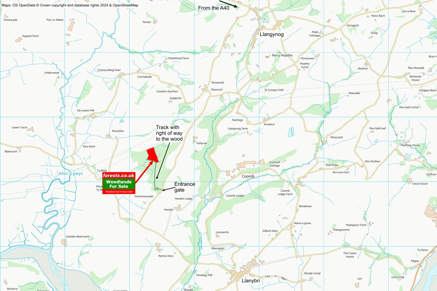
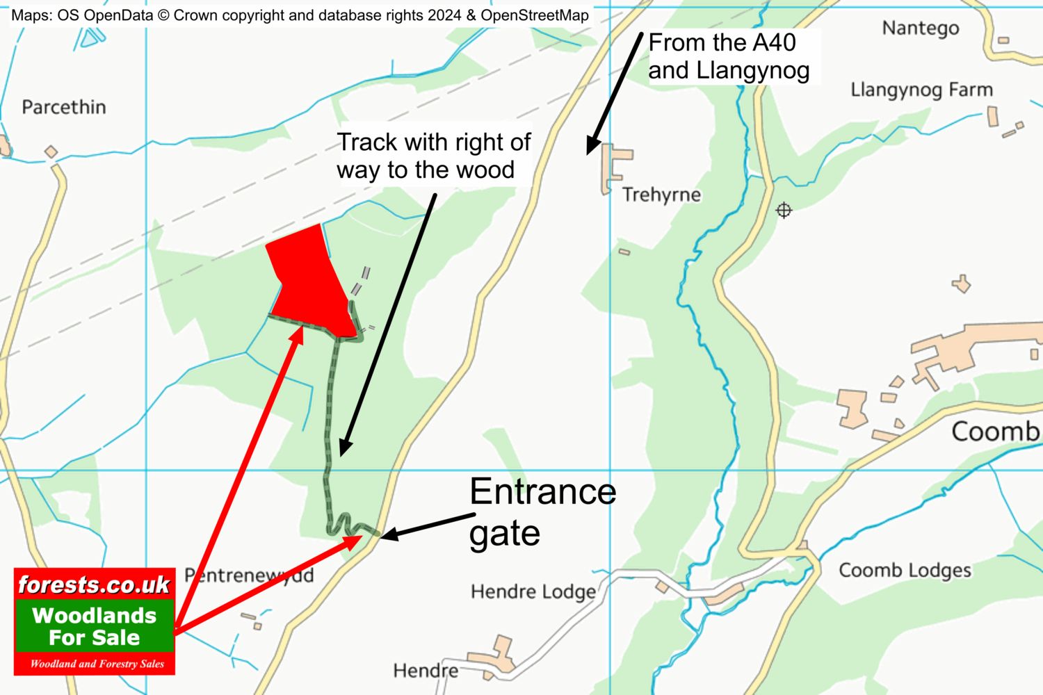
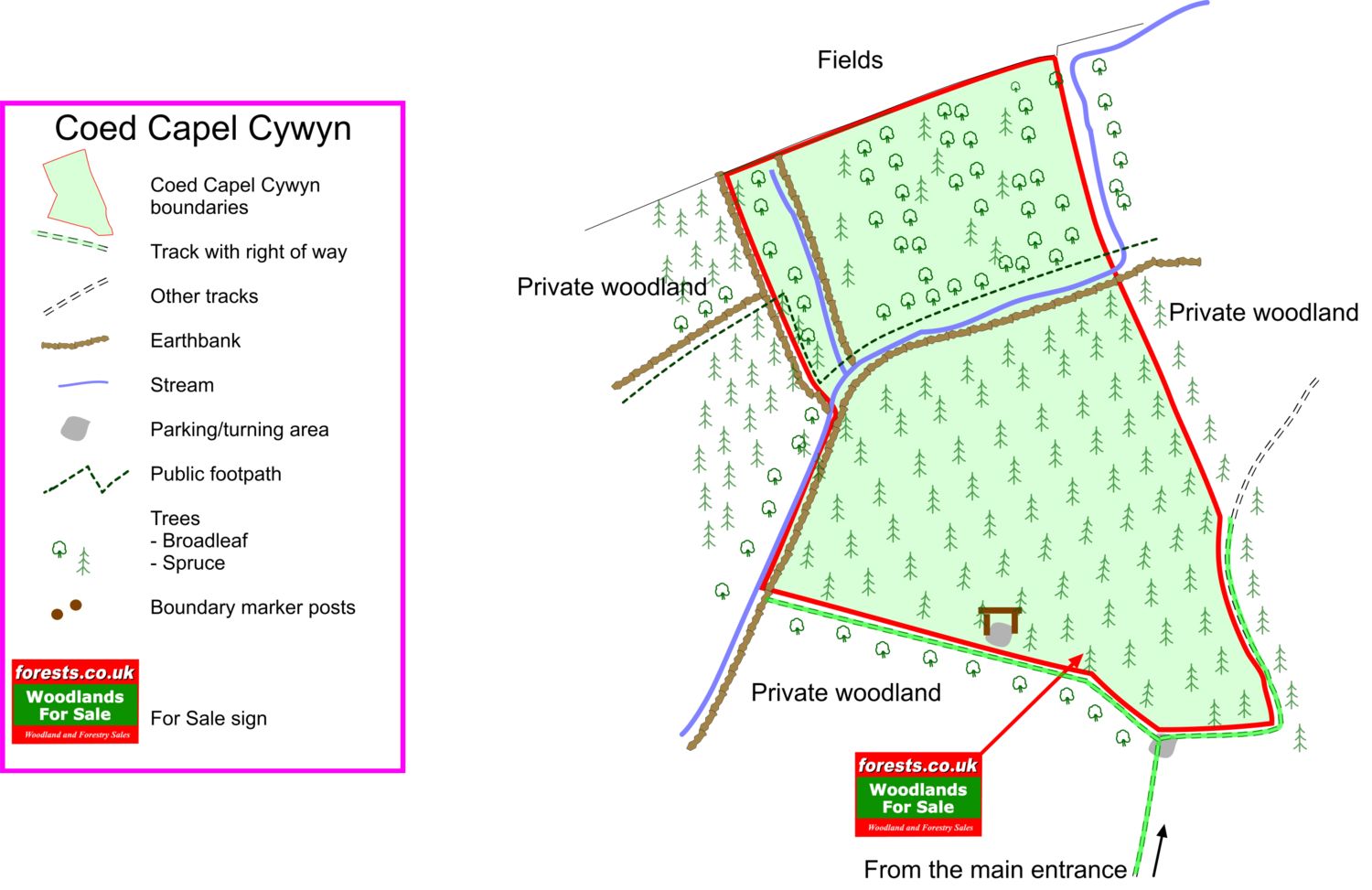
Our Maps
Directions
From the M4, continue on the A48 to Carmarthen.
Alternatively arrive in Carmarthen on the A40, and bypass Carmarthen staying on the A40:
Follow signs to the A40 and take the A40 (west) towards St Clears for approximately 5 miles.
Take the left turn signposted to Llangynog (3rd exit) at Bancyfelin.
Just before the start of the 30mph zone at Llangynog, turn right and follow this road for 1 mile.
Take the next left, signposted Llanybri. (SatNav for SA33 5HT will bring you to this point).
After a few yards, take the first right (next to a small electrical substation) on the right.
Follow this minor road for approx 1 mile and you will see a Forests.co.uk Woodlands for Sale sign on your right at the gated entrance to the woodlands, set back from the road.
Please park in the parking area on the left of the gate. Follow the track on foot through the woodland down the hill. You will pass the entrance to Coed Gwas Y Neidr on your left, continue for a short distance, and where the track bends right you will see a smaller track forking to the left.
Take this left (westerly) fork and follow this trackand the entrance to Coed Capel Cywyn is on your right, marked by a ride stop with a wooden name board and a Forests.co.uk Woodlands for Sale sign.
If following SatNav:
There is no good postcode that will bring you to the wood. SA33 5HT will bring you to a T-junction where you can reset your SatNav for SA33 5HY. The roadside gate is after just one mile (one mile before the postcode destination)
- Nearest postcode: SA33 5HT - then reset to SA33 5HY
- Coordinates (of the roadside gate): 51.7983,-4.43049
- What3Words (for the roadside gate): winter.unionists.reason
The ridestop at the entrance to the wood
- Coordinates: 51.80236,-4.43277
- What3Words: prayers.panic.whiplash
Please note: the particulars with plans, maps, descriptions and measurements are for reference only and although carefully checked we cannot guarantee their accuracy and do not form part of any contract. Any intending purchasers must satisfy themselves by inspection or otherwise as to the correctness of these particulars.
Location maps
View and print this wood's location on Bing Maps »
Interested in this woodland? Get in touch with us:
Contact Sandra Colley on 07769654392 or email us at [email protected] with your details.