Coed y Cwm, Pontypridd - Sold
Details for this wood
Guide price: £60,000 - Freehold
Size: 4½ acres
Location: Coed y Cwm, Pontypridd
OS Landranger: 170
Grid ref: ST075931
Nearest post code: CF37 3JL
Contact: Sandra Colley
Phone: 07769654392
Email: [email protected]
Email to a friend
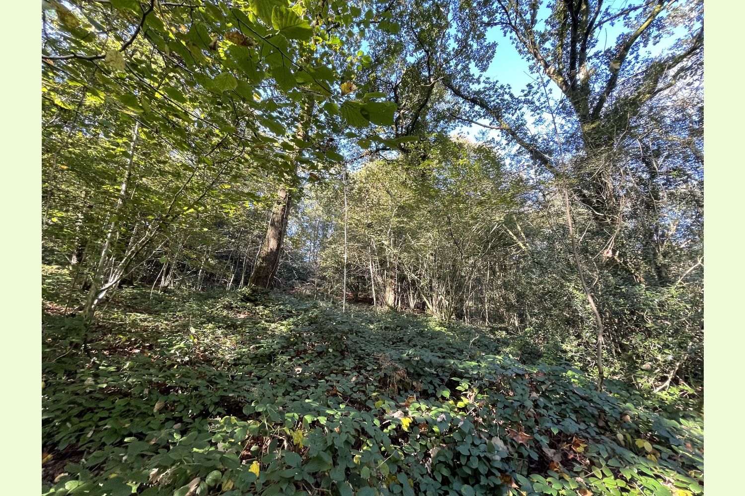
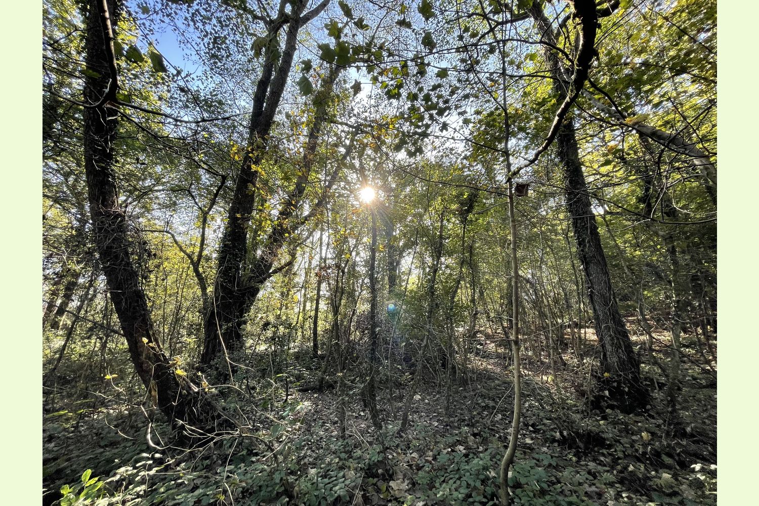
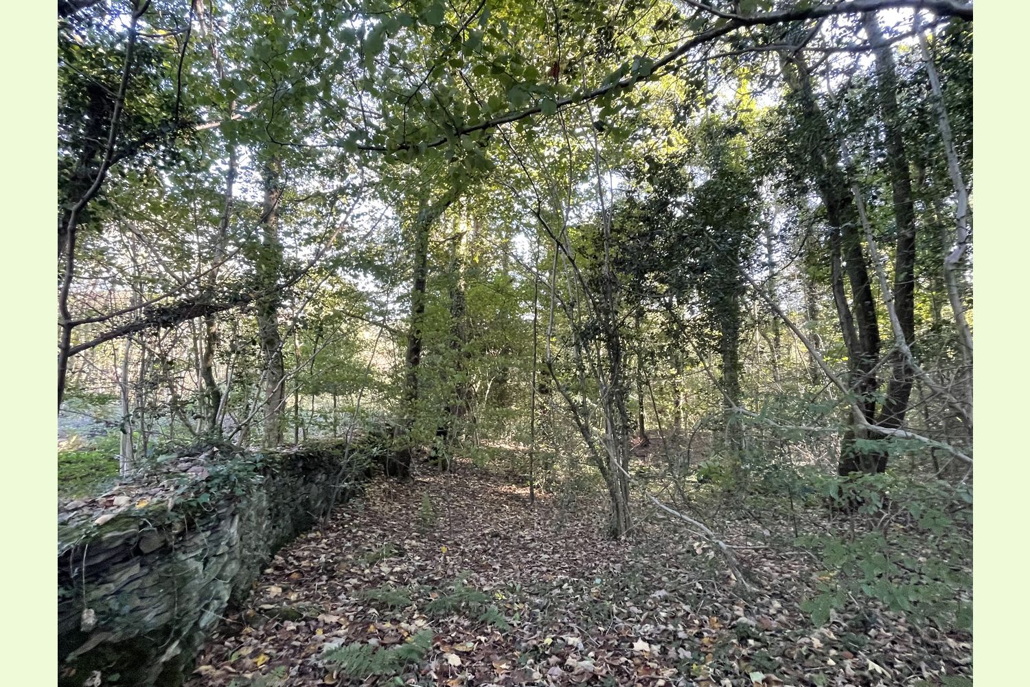
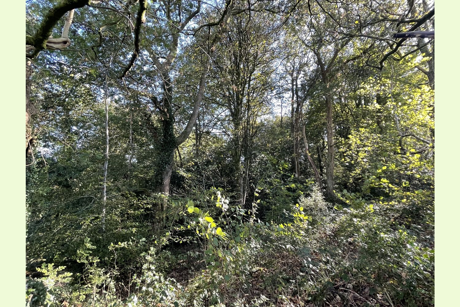
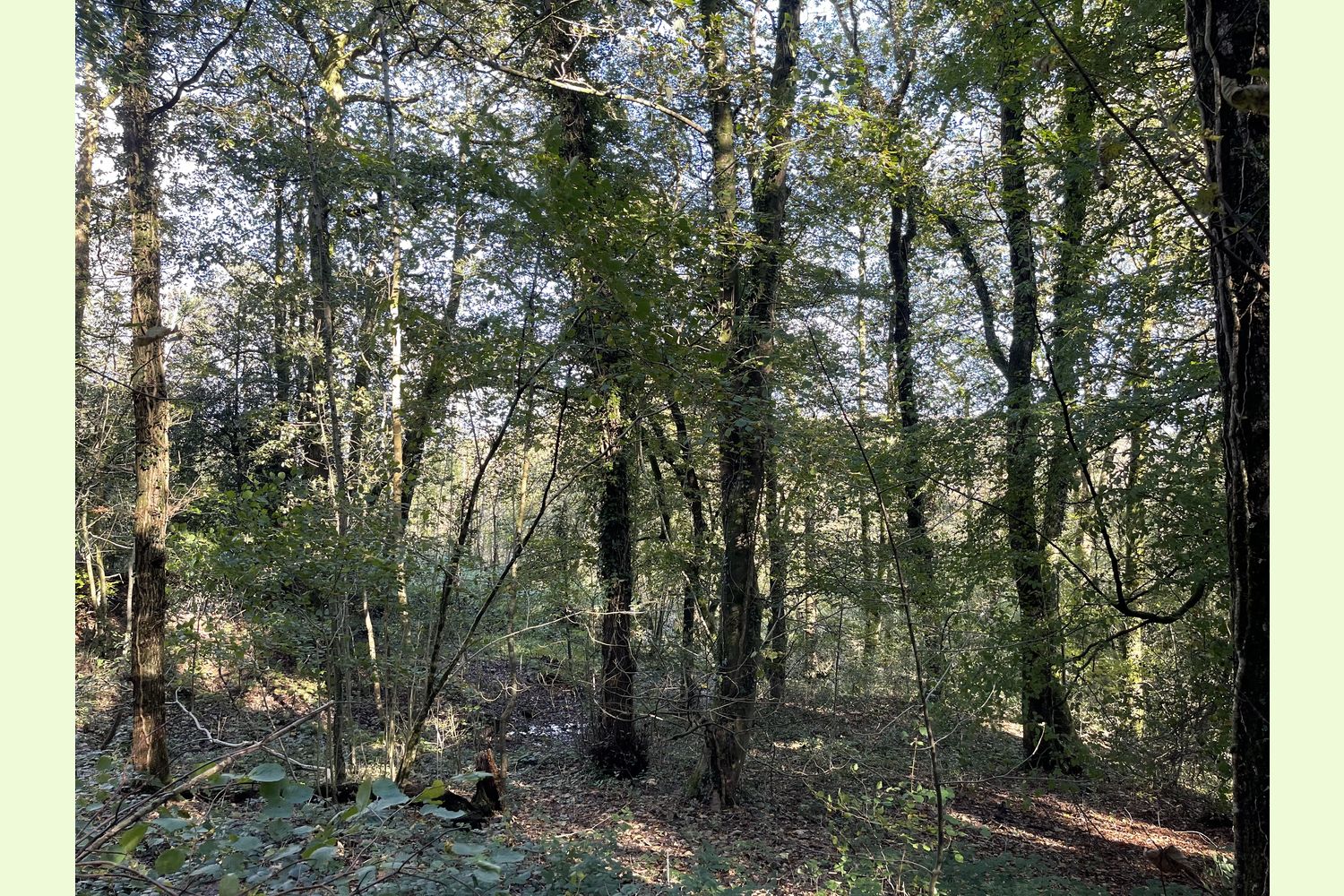
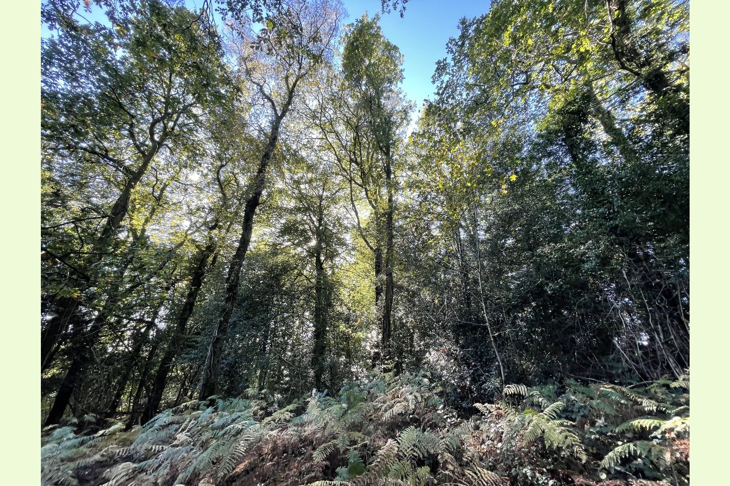
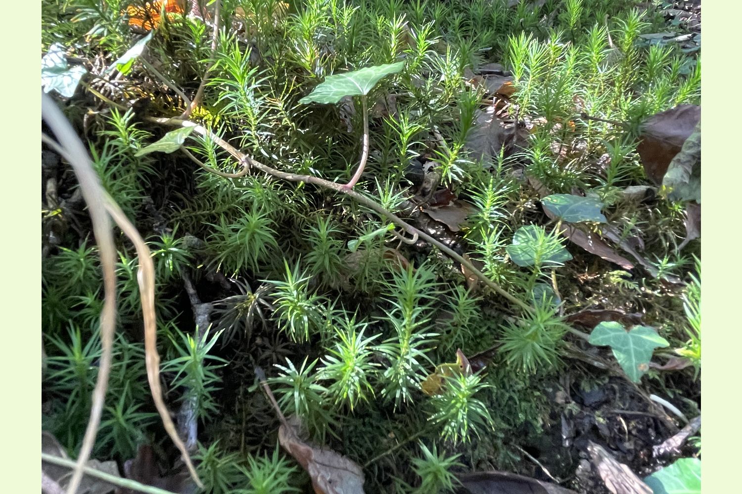
Description: Coed y Cwm, also known as Bluebell Wood, is a mature broadleaf woodland and offers good habitat for woodland generalist and specialist birds, badgers (although no setts have been observed) and bats. Although it is close to houses, it feels very quiet and secluded. Trees forming the canopy are aged between 70-100 years old, and comprises oak (about two thirds), with the remainder being mostly Sycamore, Alder and Beech. The woodland understorey is dominated by Bramble, Bracken, Ash and Sycamore tree regeneration, and is carpeted with bluebells in the spring. Together with Coed Pen-y-Parc to the north, and the woodland the other side of the road, Coed y Cwm is designated as Ancient Woodland.
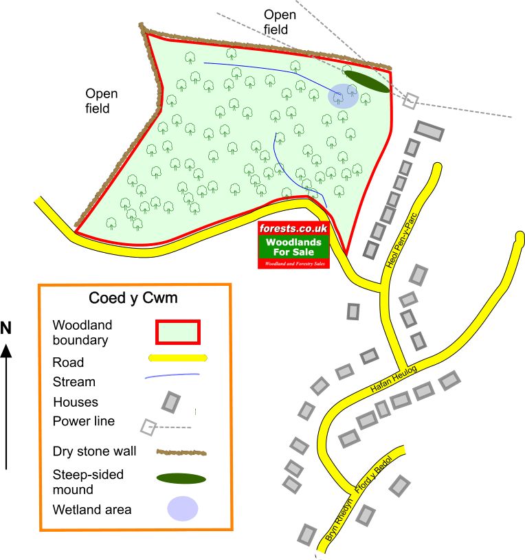
The land is reasonably flat at the eastern side, rising, mostly fairly gently, the boundary at the western side.
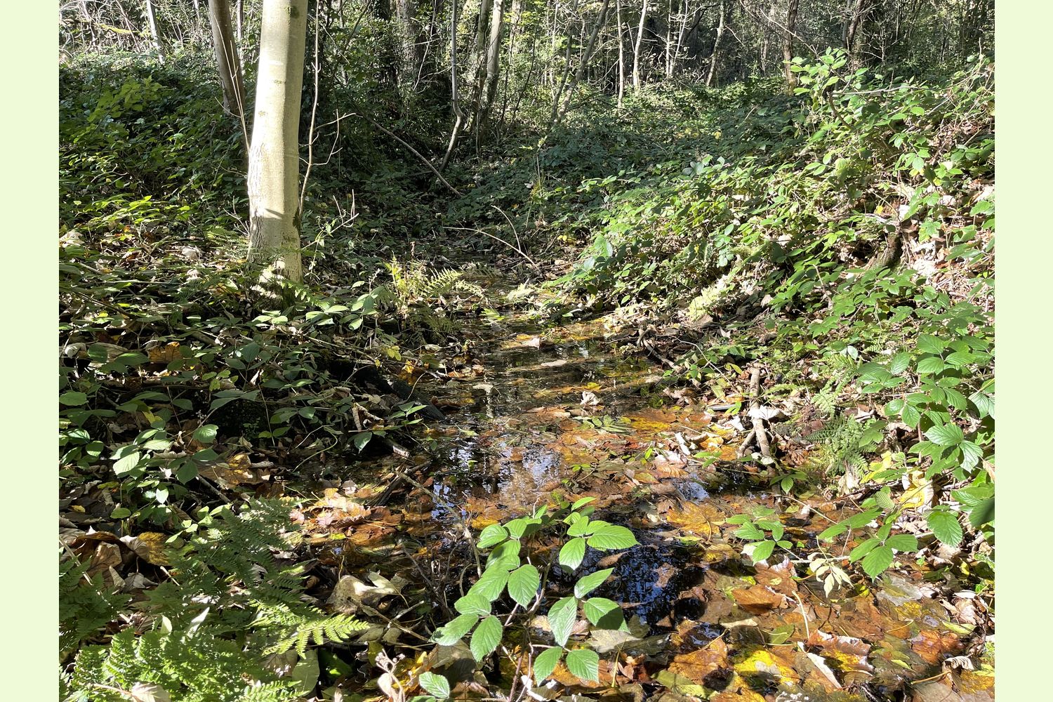
There are two or three springs in the wood. One feeds a small stream, that leaves the wood via a pipe under the road. Another is to the northern side of the wood, and feeds a small wetland area, which could possibly be turned into a pond.
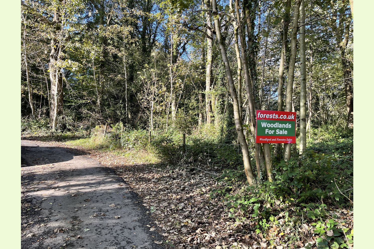
Access: Coed y Cwm is accessed directly off the public highway. A road that only serves a couple of farms passes the southern boundary of the wood. There was an access gate directly off this road, which could quite easily be reinstated, and the access improved for any type of vehicle.
Public access: None
Sporting rights: Understood to be included.
Mineral rights: Included, except as reserved by statute.
Overage clause: The vendor is very keen to see this land remain as woodland, and intends to improve its protection with an overage clause. This would only take effect if a new owner were to obtain planning permission (however unlikely that would be granted) for either residential or commercial development of the land, and will have no significance to a new owner as long as the land remains as woodland.
Local area and history: Coed y Cwm used to link two larger woodland area Coed Pen-y-Parc and Coed Geli-Isaf, in the Taff Valley, but since the building of houses at Coed y Cwm, the link has been broken. The Taff Vale Railway, built to serve the iron and coal industries around Merthyr Tydfil and to connect them with docks in Cardiff, passes nearby.
Coed y Cwm is just 10 miles from the M4 at Junction 32, and only 13 miles from Cardiff.
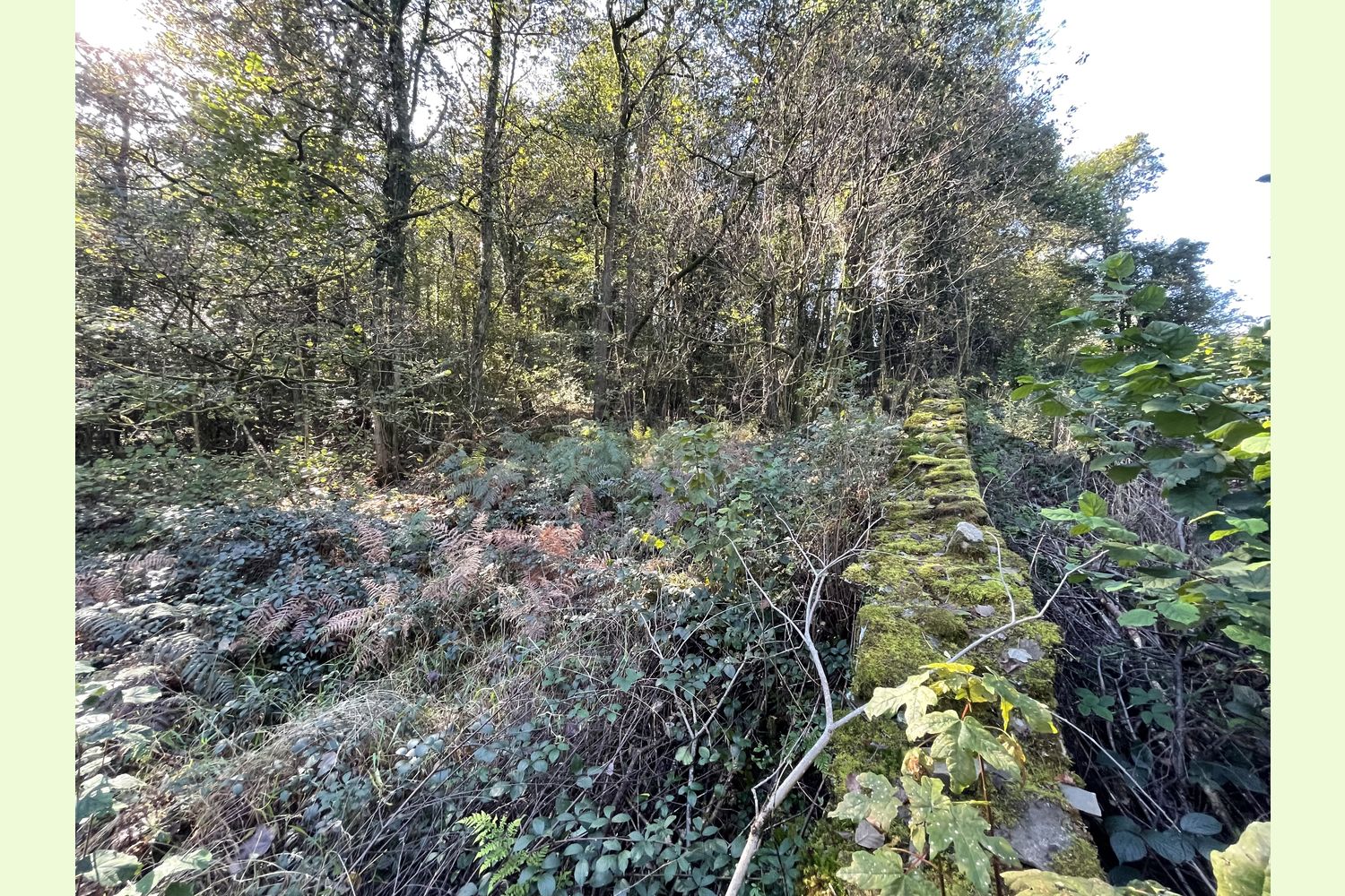
Boundaries: The eastern boundary is fenced from private housing; the northern boundary is a dry stone wall, and stock fence. To the west, a dry stone wall and stock fence separates the wood from a field. The road that provides access is the southern boundary of the wood.
Photographs: were taken in October 2021
Our Maps (Click on a map to see a large version)
Our Maps
Directions
From Cardiff, the south-east or south-west:
Leave the M4 at J32 and follow the A470 towards Merthyr Tydfil
After six and a half miles, take the A4058 for Pontypridd and Ynys-y-bwl (B4273)
At the roundabout, take the 2nd exit for Town Centre and Ynys-y-bwl
At the next roundabout, take the first exit for Pontypridd and Ynys-y-bwl
Immediately after crossing the River Taff, turn right onto the B4273, for Ynys-y-bwl
After one and three quarter miles turn right into Coed y Cwm
Take four left turns, into Bryn Rhedyn, Hafan Heulog, Heol Pen y Parc, and then finally, after the first house, turn again into an unnamed road. Coed y Cwm is on the right after the end of the fence.
From the north, the Heads of the Valleys Road (A465) or Merthyr Tydfil
Take the A470 towards Cardiff
After nine miles from the A465, take the slip road, and then the fourth exit at the roundabout, for Pontypridd A4223 and Ynys-y-bwl (B4273)
Immediately after crossing the River Taff, turn right onto the B4273, for Ynys-y-bwl
After one and three quarter miles turn right into Coed y Cwm
Take four left turns, into Bryn Rhedyn, Hafan Heulog, Heol Pen y Parc, and then finally, after the first house, turn again into an unnamed road. Coed y Cwm is on the right after the end of the fence.
- Postcode for Satnav: CF37 3JL
- Coordinates for Satnav: 51.629379 , -3.3360873
Please note: the particulars with plans, maps, descriptions and measurements are for reference only and although carefully checked we cannot guarantee their accuracy and do not form part of any contract. Any intending purchasers must satisfy themselves by inspection or otherwise as to the correctness of these particulars.