Pontbren Dingle, Carmarthenshire
Details for this wood
Guide price: £125,000 - Freehold
Size: Just under 12½ acres
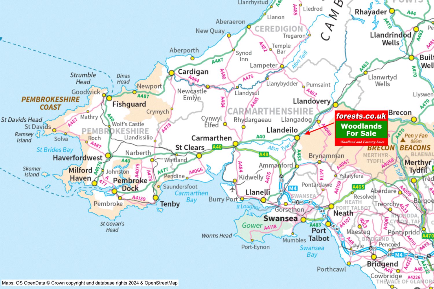
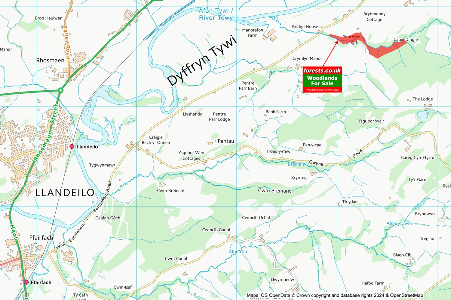
Location: Bethlehem Road, Llandeilo, Carmarthenshire
OS Landranger: 159
Grid ref: SN658237
Nearest post code: SA19 6YB
Contact: Sandra Colley
Phone: 07769654392
Email: [email protected]
Email to a friend
*** SOLD SUBJECT TO CONTRACT ***
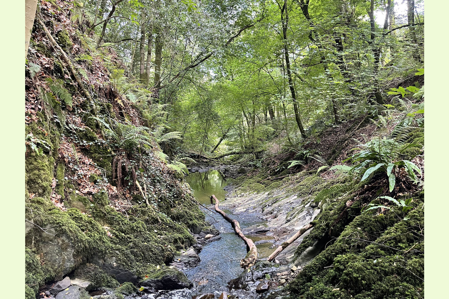
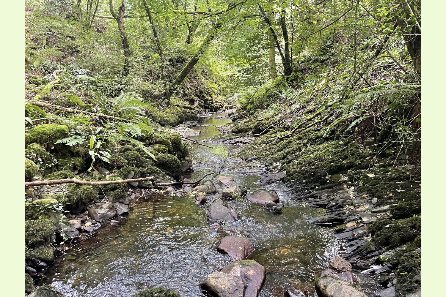
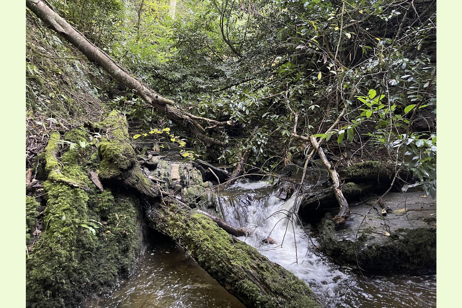
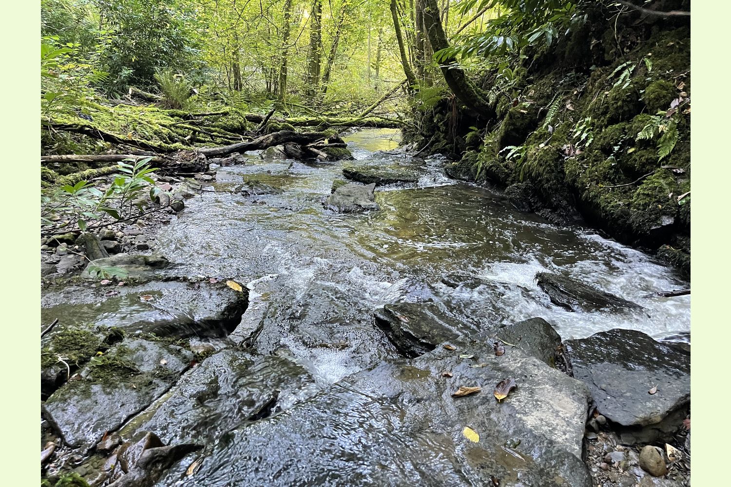
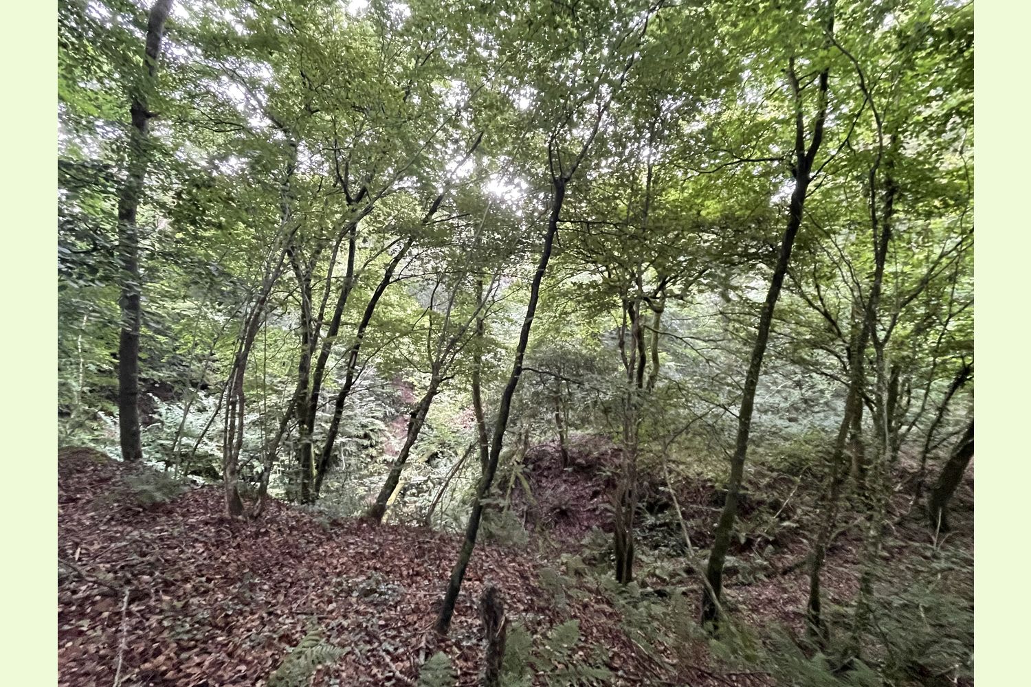
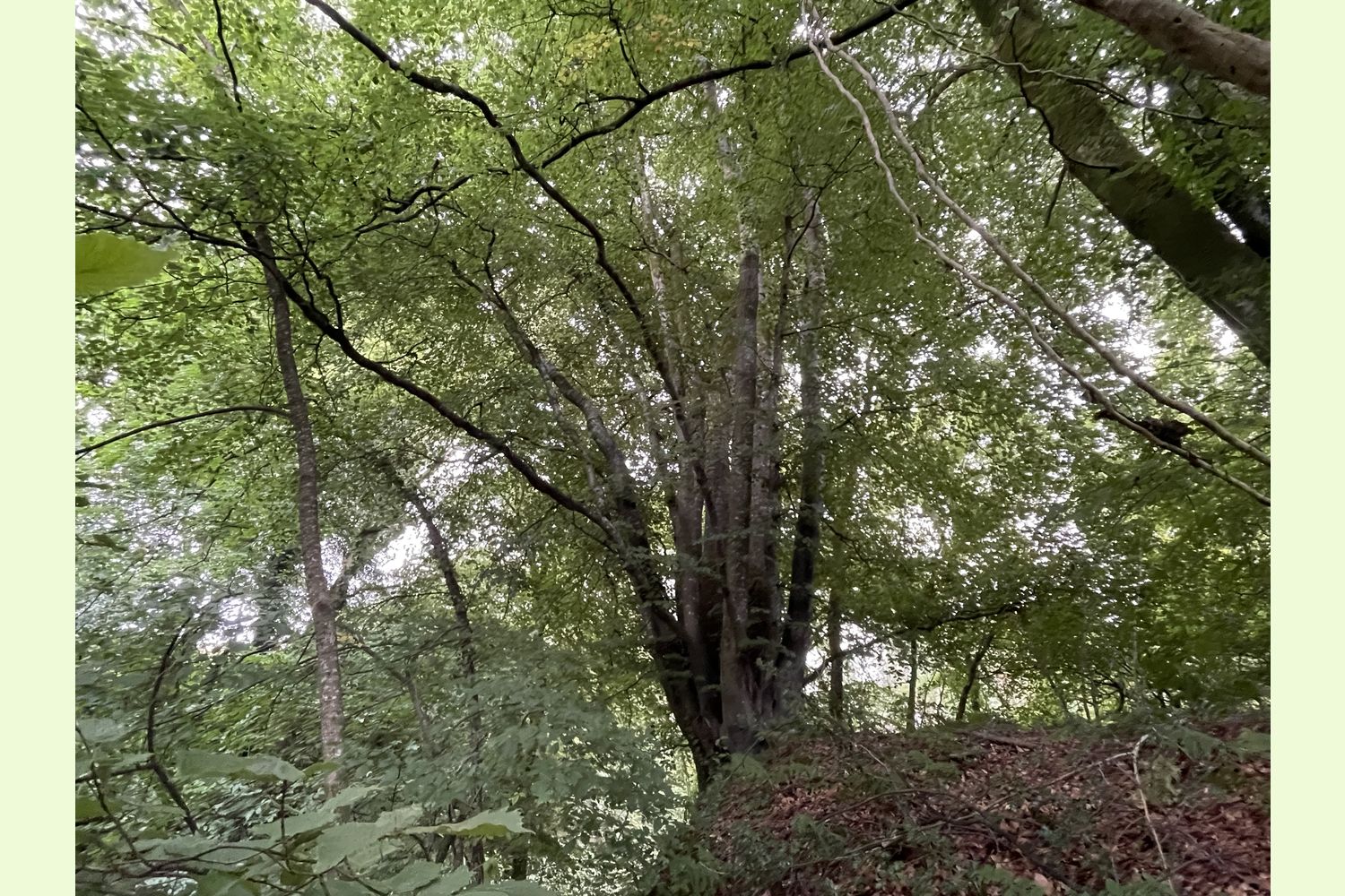
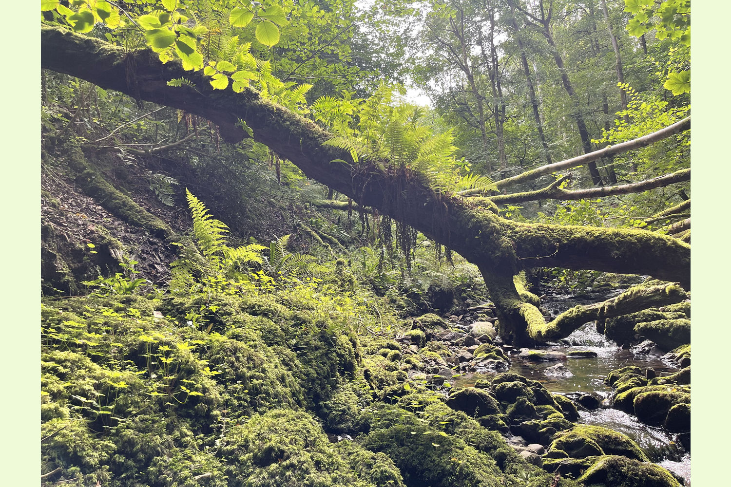
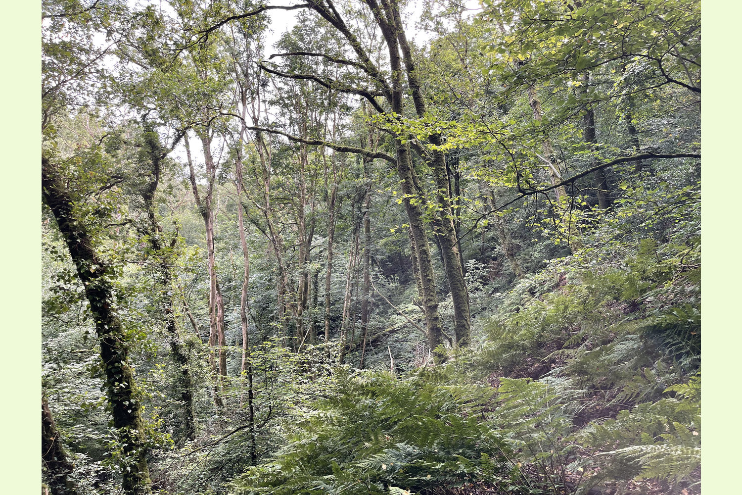
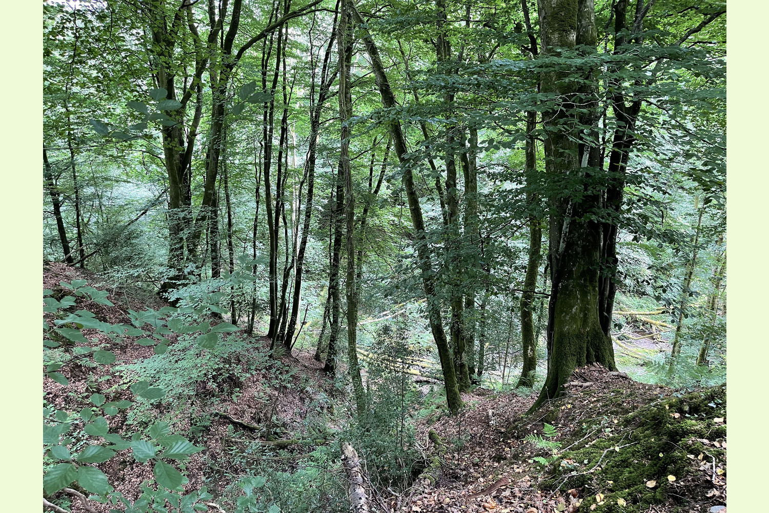
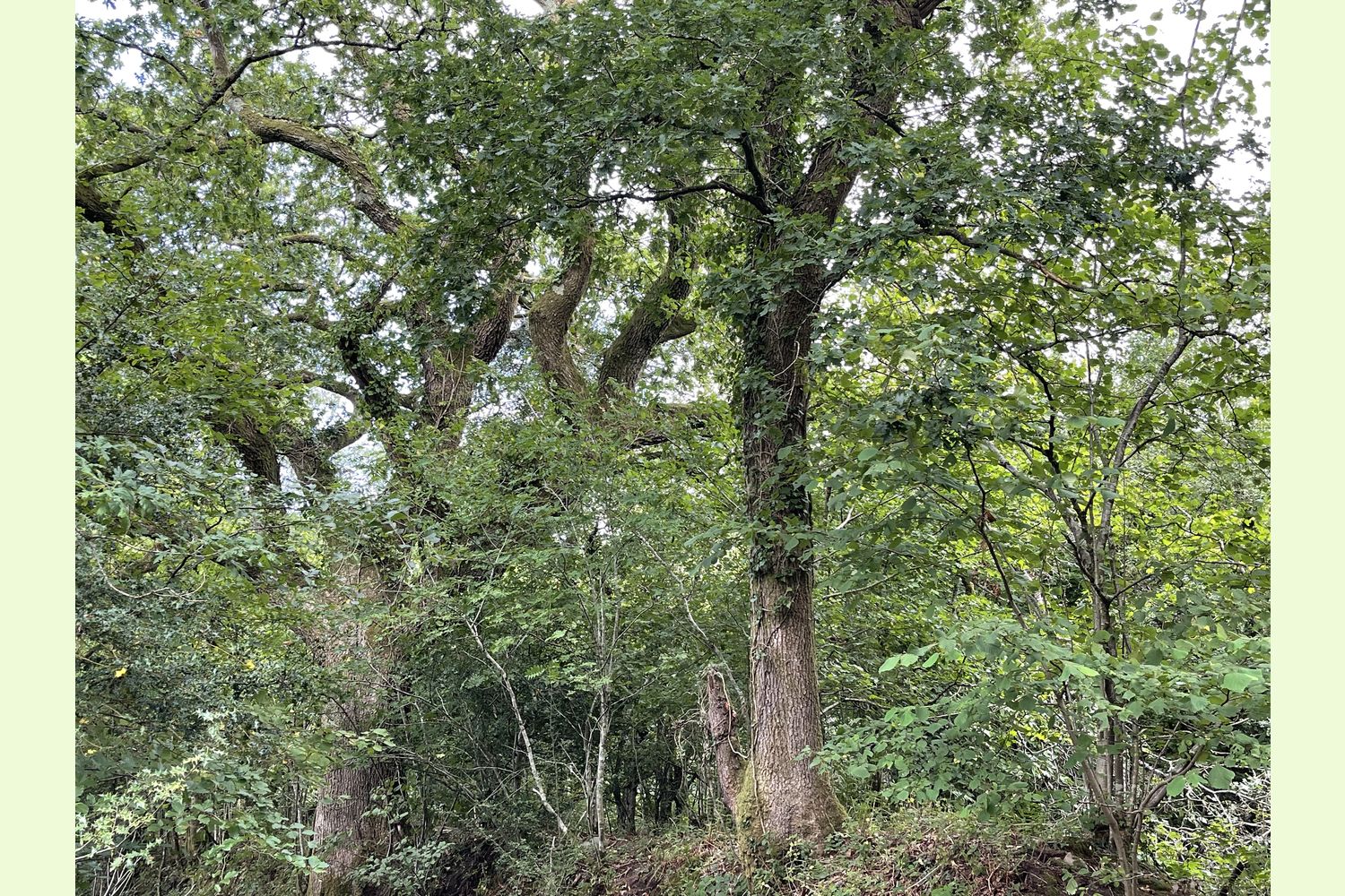
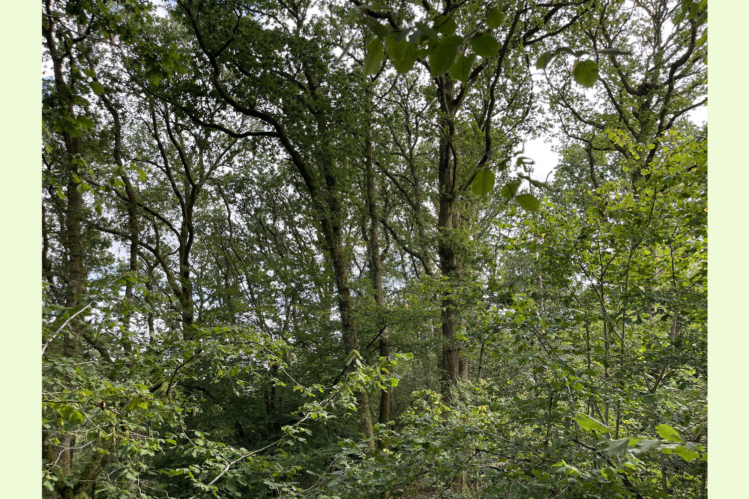
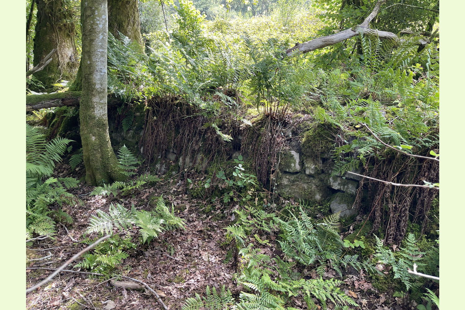
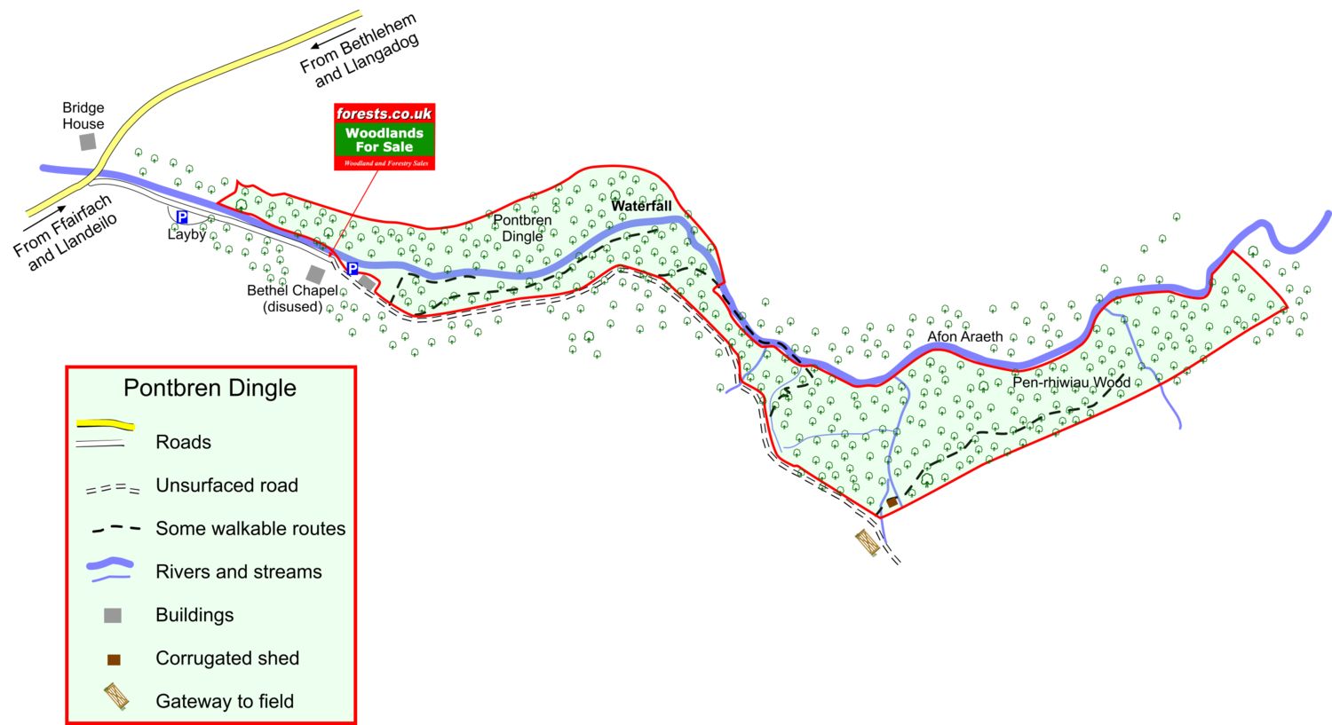
Pontbren Dingle is a magnificent stretch of broadleaf woodland running along the Afon Araeth valley, a tributary of the Afon Tywi (River Towy) a short distance away. There is even a series of waterfalls in the wood, which was well enough known in the past that there is a postcard featuring it.
Almost the entire woodland is classified as Ancient Semi Natural Woodland.
Video of the river (opens in a new window).
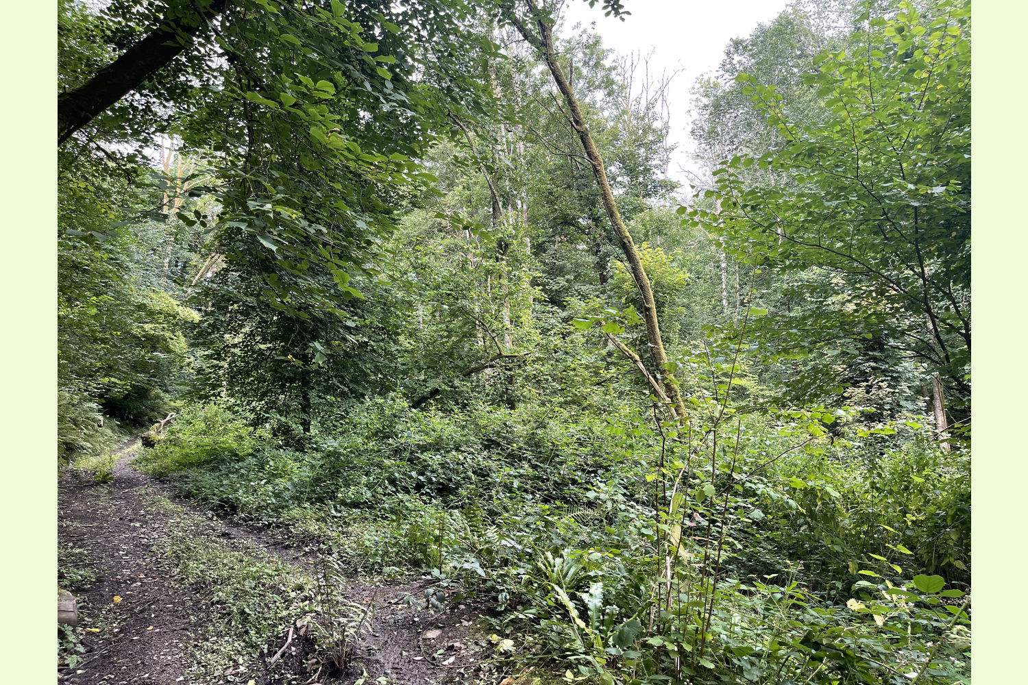
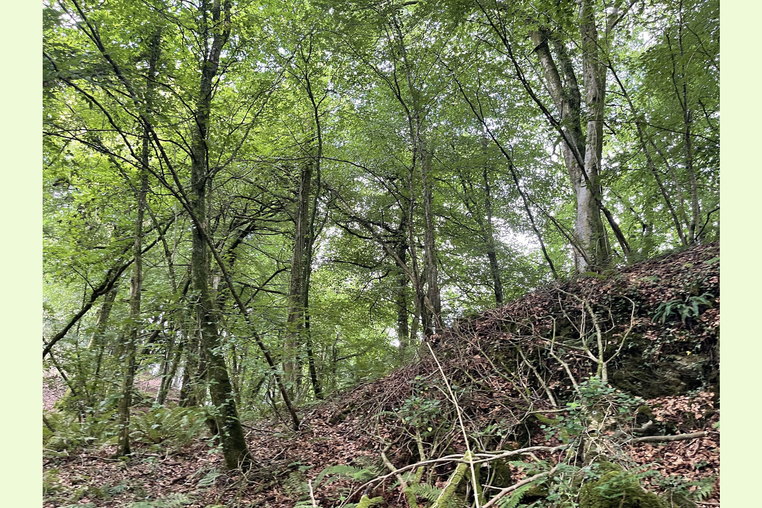
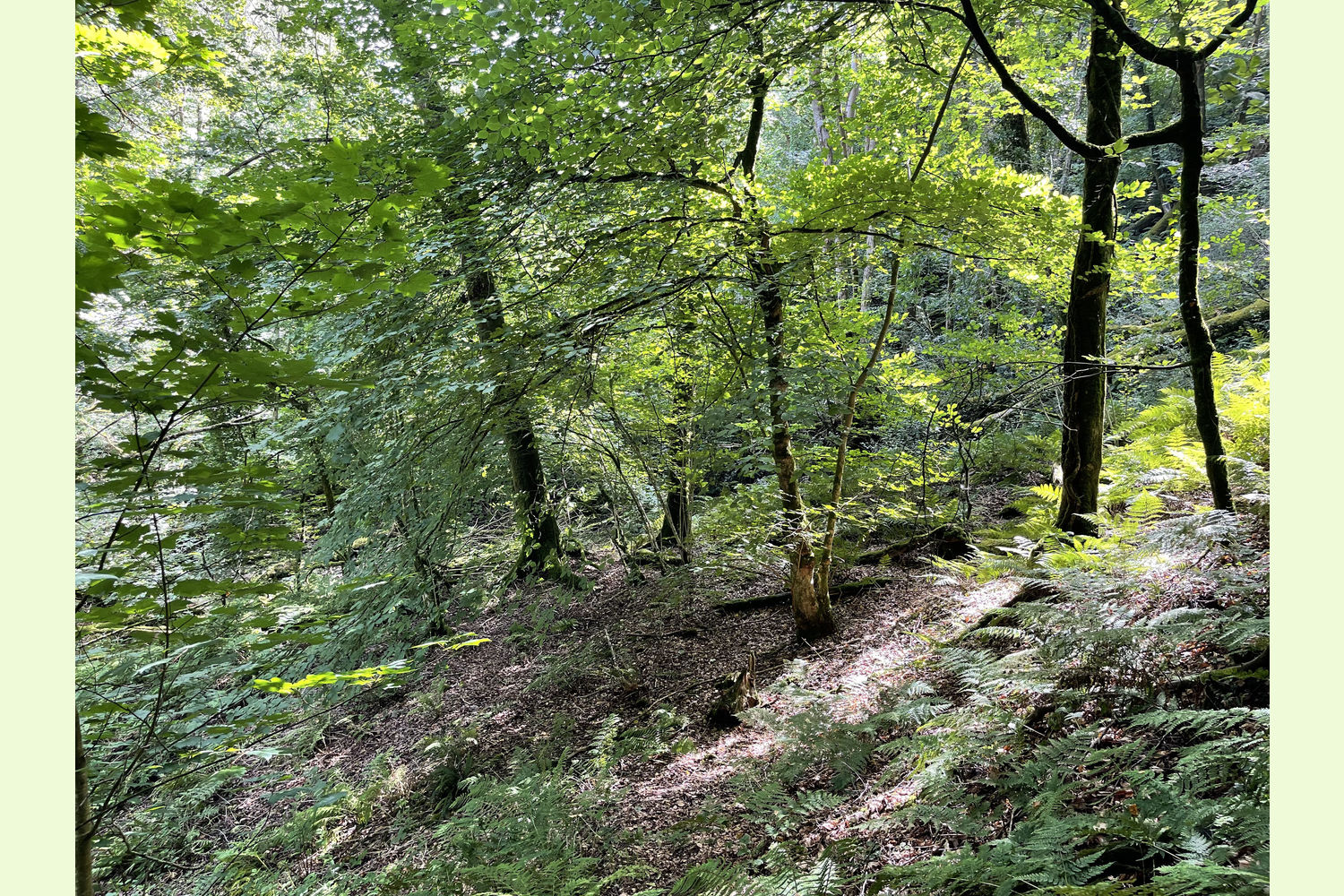
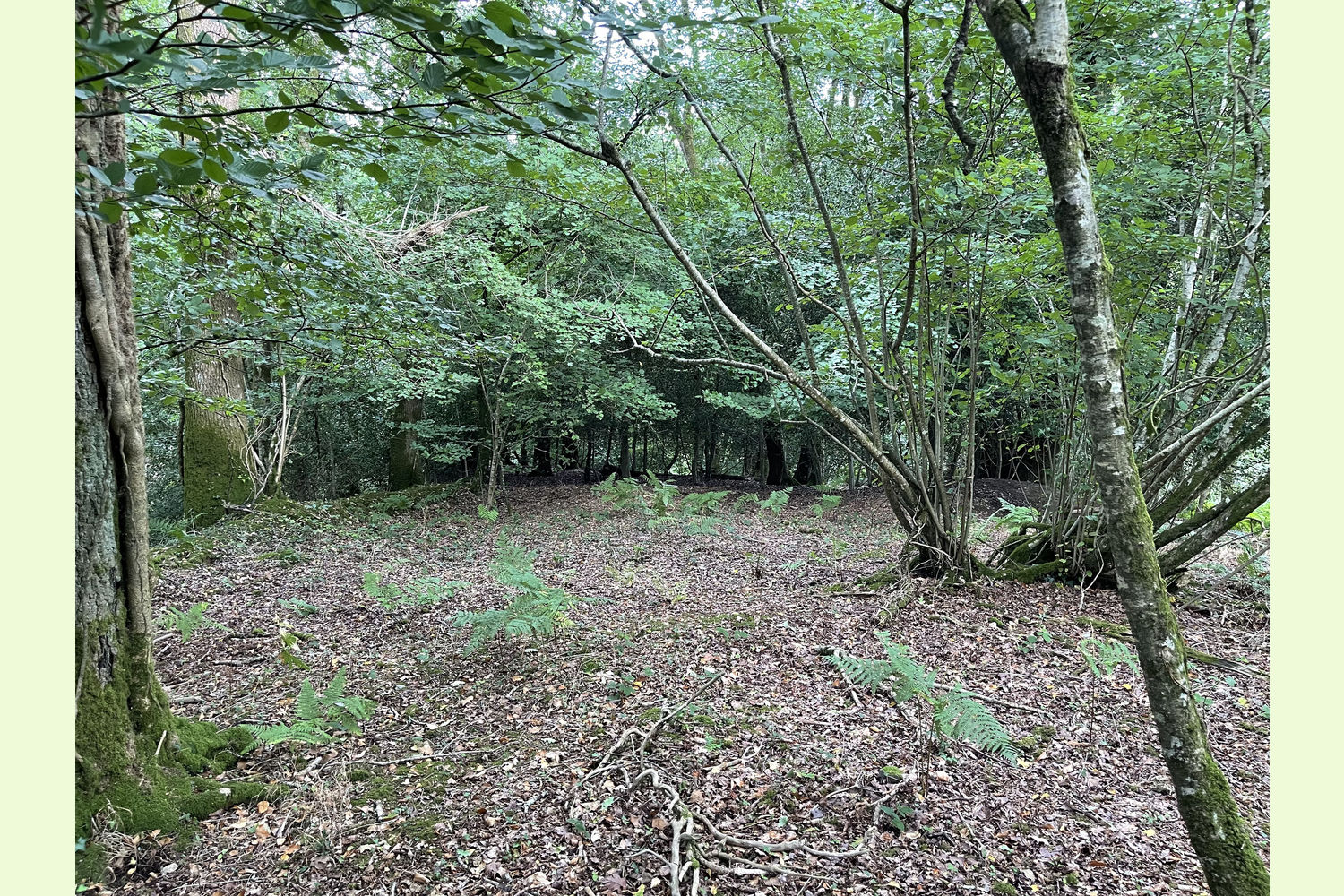
Trees: The wood is mixed broadleaf, predominantly beech, oak, and ash, with a hazel and holly understorey and other broadleaf trees.
Boundaries: The western end of the wood, Pontbren Dingle itself, spans both sides of the valley, The northern boundary is fenced from adjoining farmland. Most of the southern boundary is the track, with a short section at the western end (as far as the end of the road), where the river is the boundary.
The eastern end of the wood, Pen-rhiwiau Wood, has the Afon Araeth as its northern boundary, a tiny stream as its eastern boundary, and an earthbank, fenced in places, as its southern boundary. As is usual where a river is a boundary, the owner of this woodland is deemed to own to the mid-point of the river.
Wildlife: There is evidence of deer being present, or passing through the wood. Buzzards have been seen circling overhead.
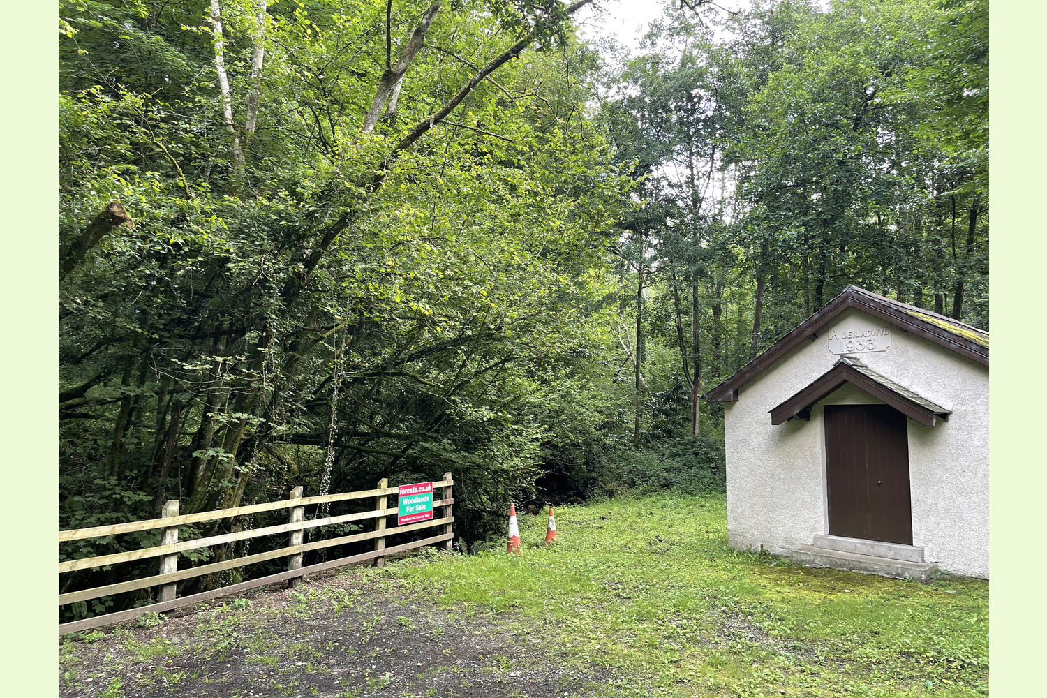
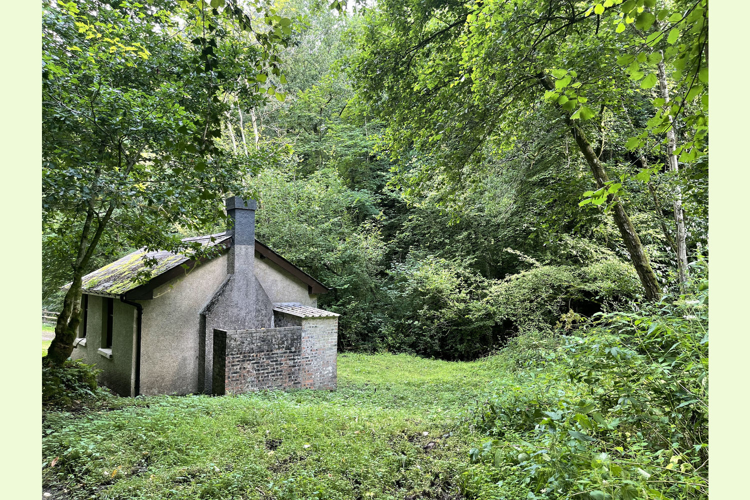
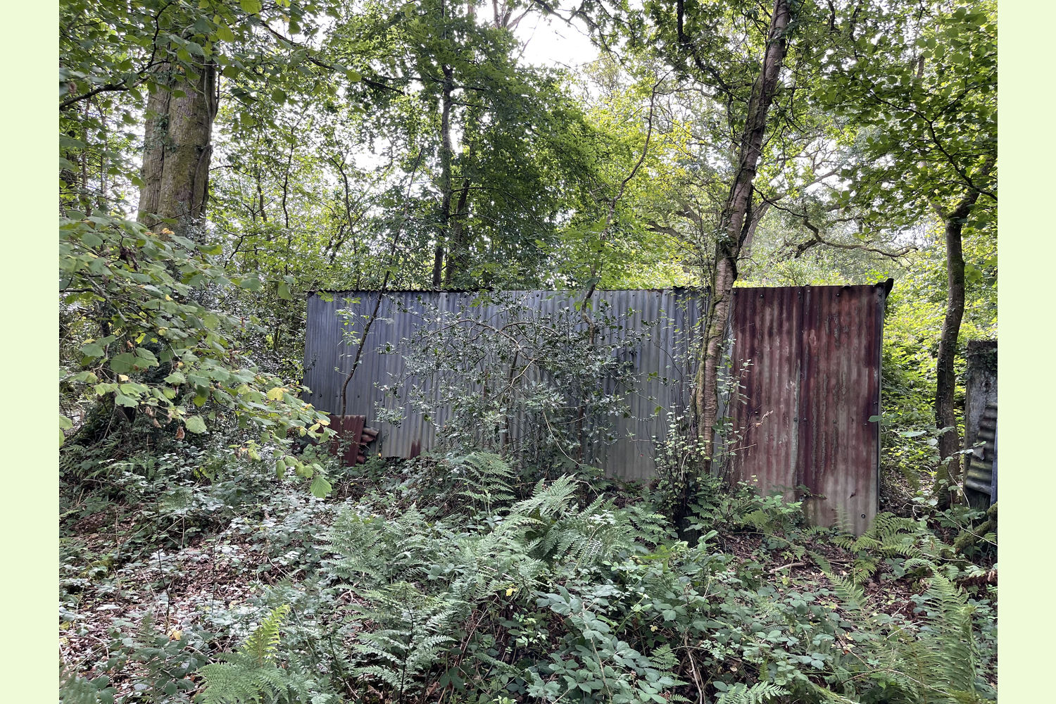
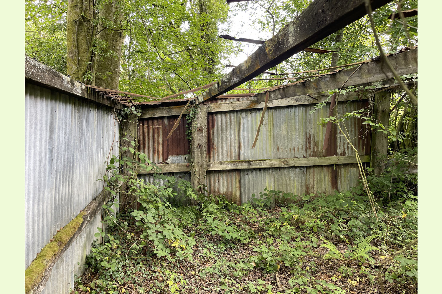
Buildings: The old Bethel Baptist Chapel is opposite the wood, but it is unused and now unsafe. There is a small building on the boundary of the wood, near to the Chapel, used occasionally as a meeting room.
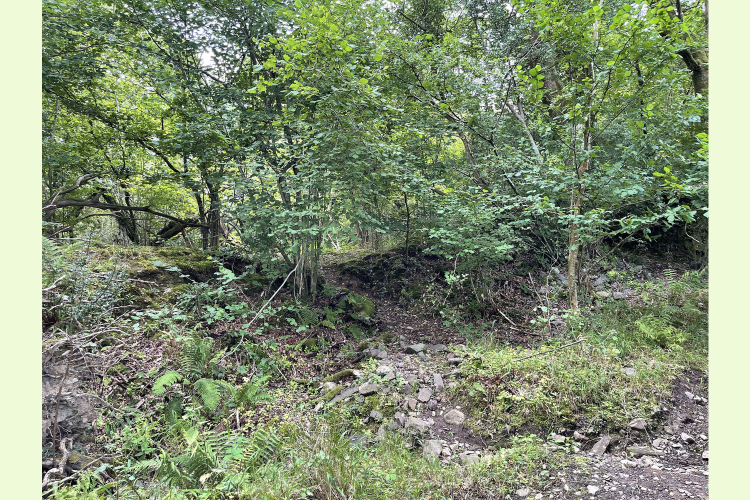
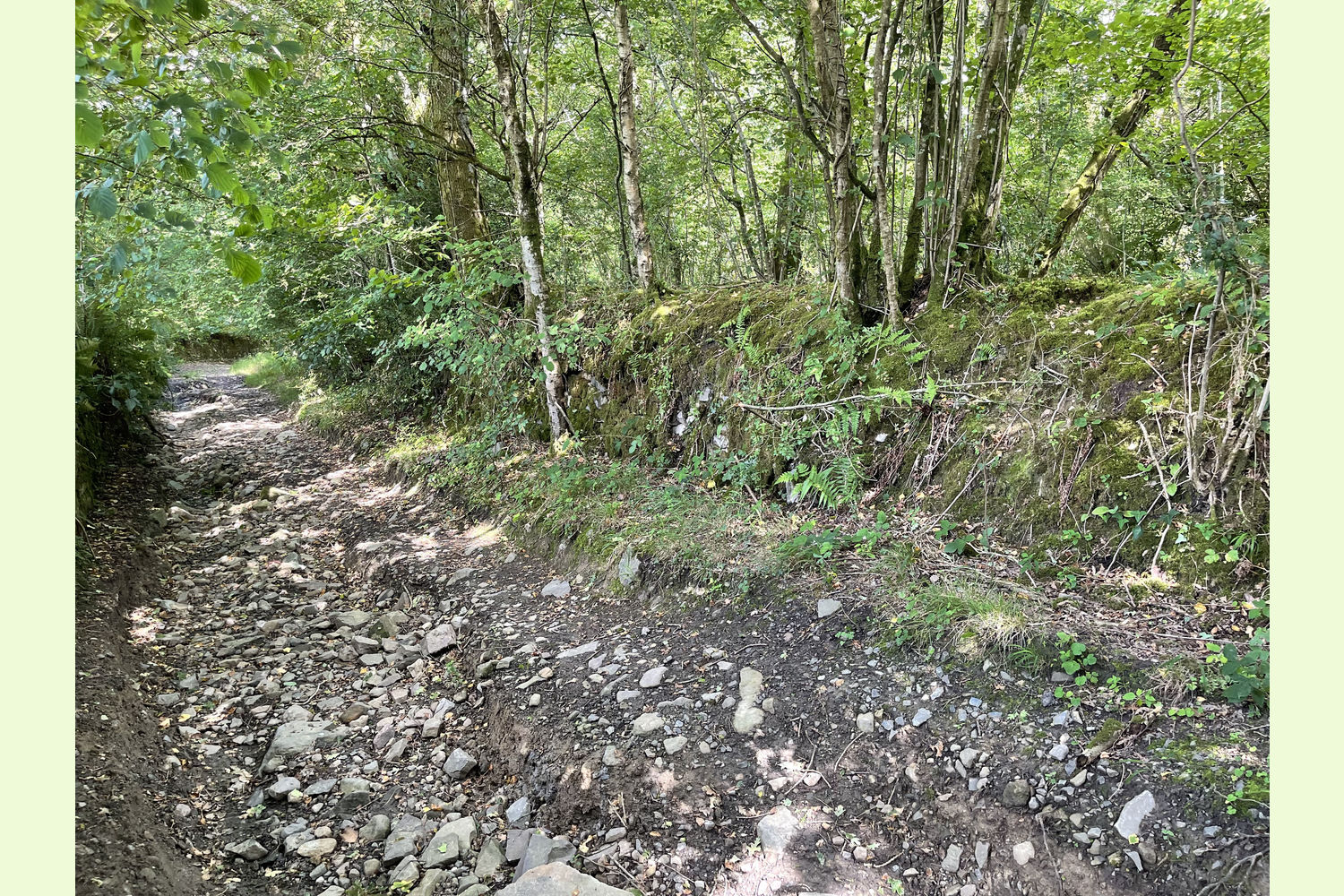
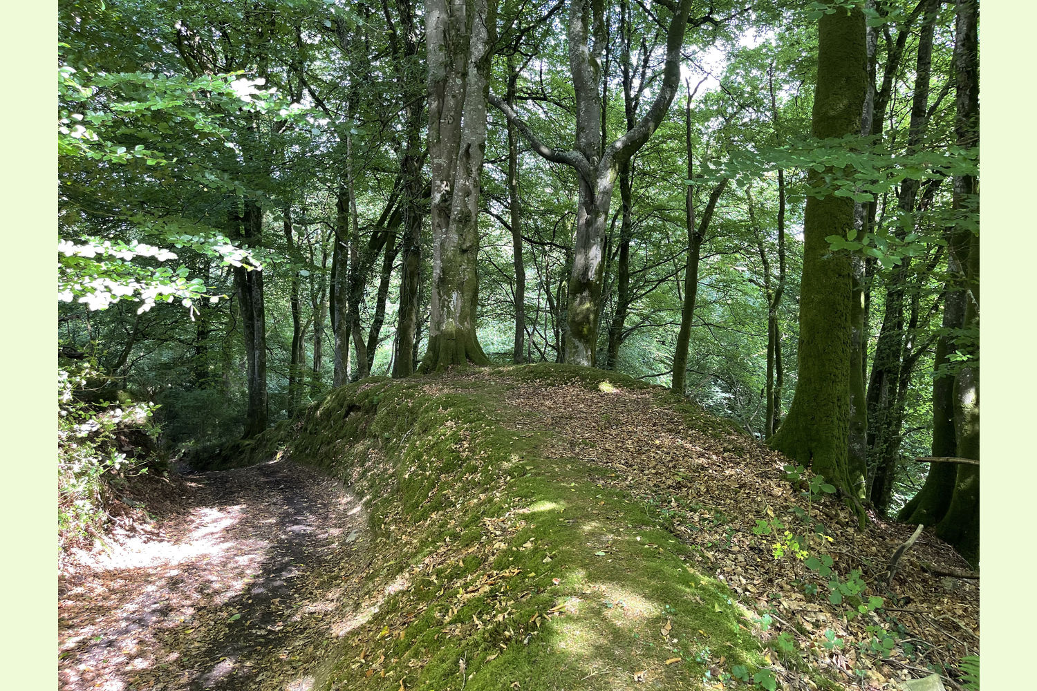
Access: There is good access from the Bethlehem road over a road that leads to the old Bethel Chapel. There is room to park within the wood next to the old meeting room opposite. From here a road continues alongside the southern/south-western edge of the wood, although the further along the track you go the rougher it gets. It is public highway (so providing access to the wood along its length), but it's a long time since it has been actively maintained.
The woodland runs along the Afon Araeth valley, and as such the terrain is dramatic, and steep in places. Routes of access are not always easy to find, but very rewarding when you do. The waterfalls are accessed by a path that runs alongside the river, starting from the main access track just beyond the old chapel building: two paths have been cut through the undergrowth - the first, 50m beyond the meeting room building leads down to the river and is a dead end. The second, 80m beyond the meeting room building, leads all the way to the waterfalls. The woodland further up the valley is accessible by coming in off the main track beyond the waterfalls, and then walking up the river bed, or at the upper level, where the land levels off towards the southern boundary. The easiest point is from the far southern point, opposite a gateway into a neighbouring field. This route passes right next to the old corrugated shed, and continues fairly level along the length of the wood. This part of the wood is the most secluded. All of these routes are shown on the wood map below.
Sporting rights: Included
Mineral rights: Included, except as excluded by statute.
Fencing obligations: No known obligations
Public footpaths: There are no public footpaths or public access of any kind within the land.
Local area: The woodland is 2½ miles from Ffairfach (where there is a railway station) and 3 miles from the centre of Llandeilo.
Photographs: were taken in August and September 2025
VIEWING: You are welcome to visit this wood by yourself. Please ensure that you have a copy of these sales details with you: we recommend either printing the details or downloading them to your phone/tablet/laptop before you go. Please take care when viewing as the great outdoors can contain unexpected hazards and woodlands are no exception. Make sure you take a copy of the sales particulars with you, as there may be no mobile signal at the woodland.
Our Maps (Click on a map to see a large version)
Our Maps
Directions
From the South, East, and M4
From the end of the M4 take the A48 to Cross Hands, then the A476 towards Llandeilo
Just before Llandeilo, at the traffic lights in Ffairfach, continue straight ahead signposted Bethlehem
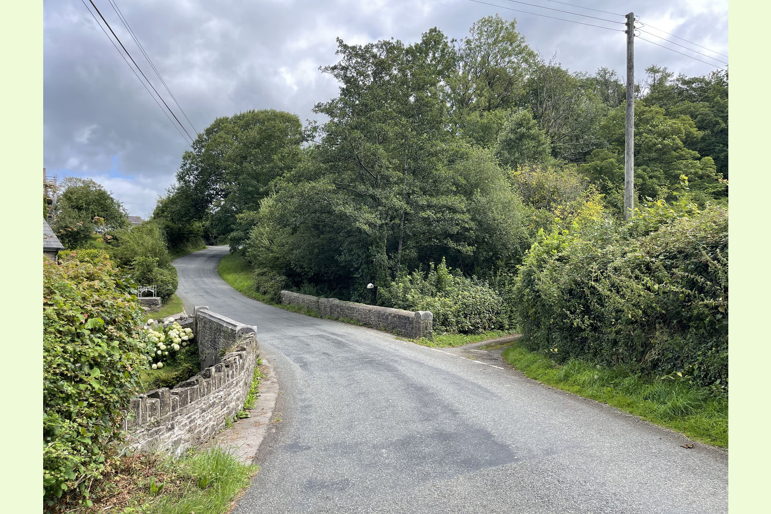
Follow this road to two and a half miles, then just before Bridge House (an imposing house on the left with three dormer windows), turn right onto a narrow road just before the bridge (see the last photograph).
There is room to park in a layby on the right, or by the old chapel.
From all other directions
Take the A40 to Llandeilo, then take the A483 through Llandeilo town centre.
After the bridge over the Towy, turn left at the traffic lights in Ffairfach, signposted Bethlehem.
Follow this road to two and a half miles, then just before Bridge House (an imposing house on the left with three roof windows), turn right onto a narrow road just before the bridge (see the last photograph).
There is room to park in a layby on the right, or by the old chapel.
If following SatNav
Turning off Bethlehem Road:
- Nearest postcode: SA19 6YB (Note *)
- Coordinates 51.895967 , -3.9513767
- What3 Words: objecting.exposes.spell
(*) If following SatNav, the postcode will take you to within 100 yards of the turning opposite Bridge House.
Please note: the particulars with plans, maps, descriptions and measurements are for reference only and although carefully checked we cannot guarantee their accuracy and do not form part of any contract. Any intending purchasers must satisfy themselves by inspection or otherwise as to the correctness of these particulars.
Location maps
View and print this wood's location on Bing Maps »
Interested in this woodland? Get in touch with us:
Contact Sandra Colley on 07769654392 or email us at [email protected] with your details.