Bredhurst Hurst (part) - Kent
Details for this wood
Guide price: £25,000 - Freehold
Size: about 1.3 acres
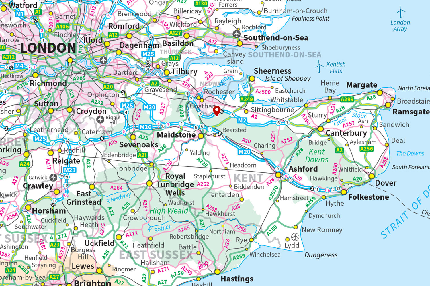
Location: Bredhurst, Gillingham
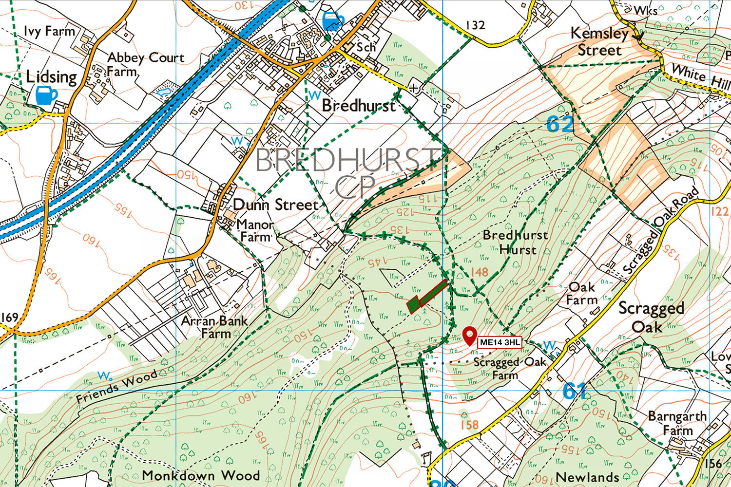
OS Landranger: No.188
Grid ref: TQ 79977 61392
Nearest post code: ME14 3HL
Contact: Ben Williamson
Phone: 07958 213 914
Email: [email protected]
Email to a friend
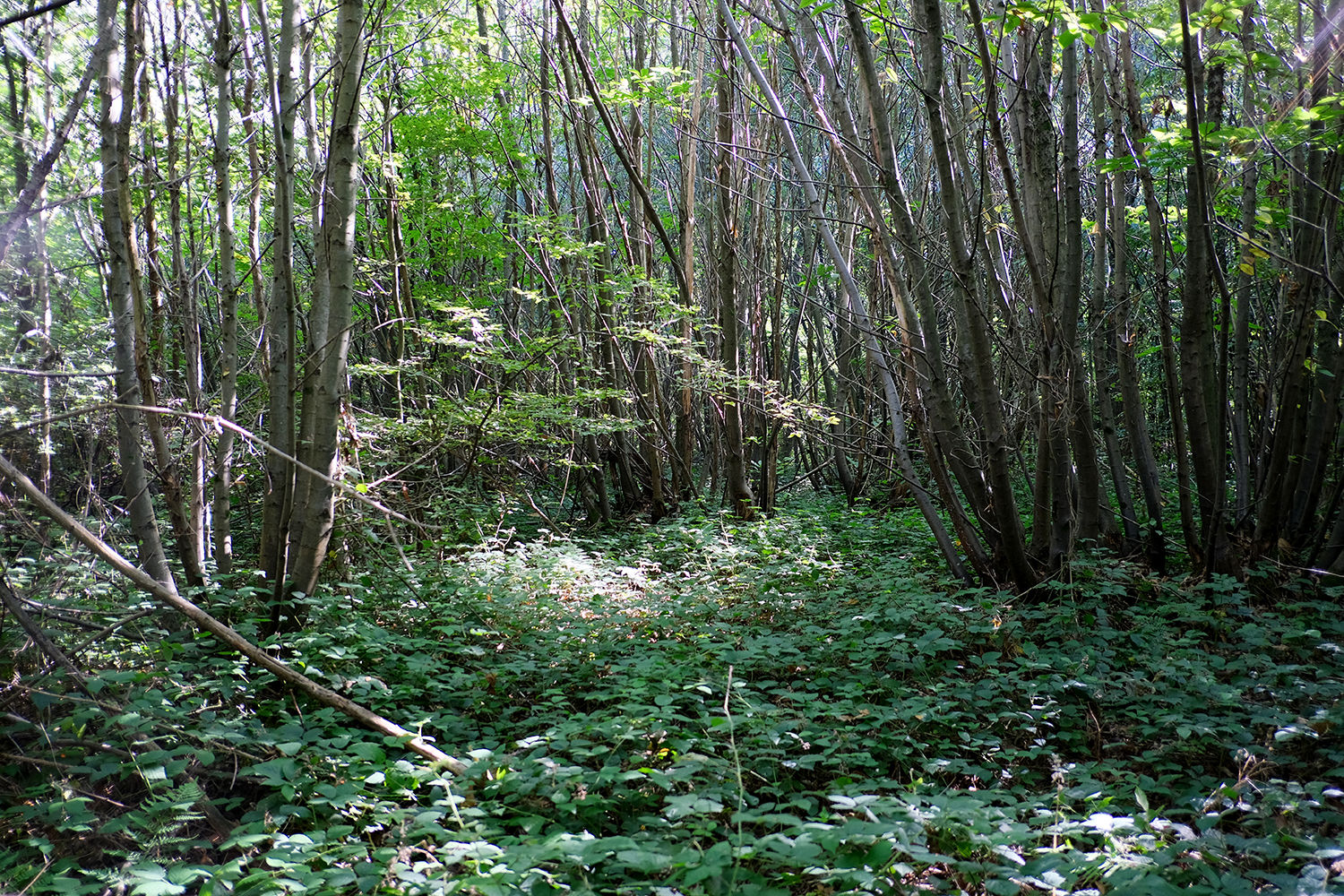
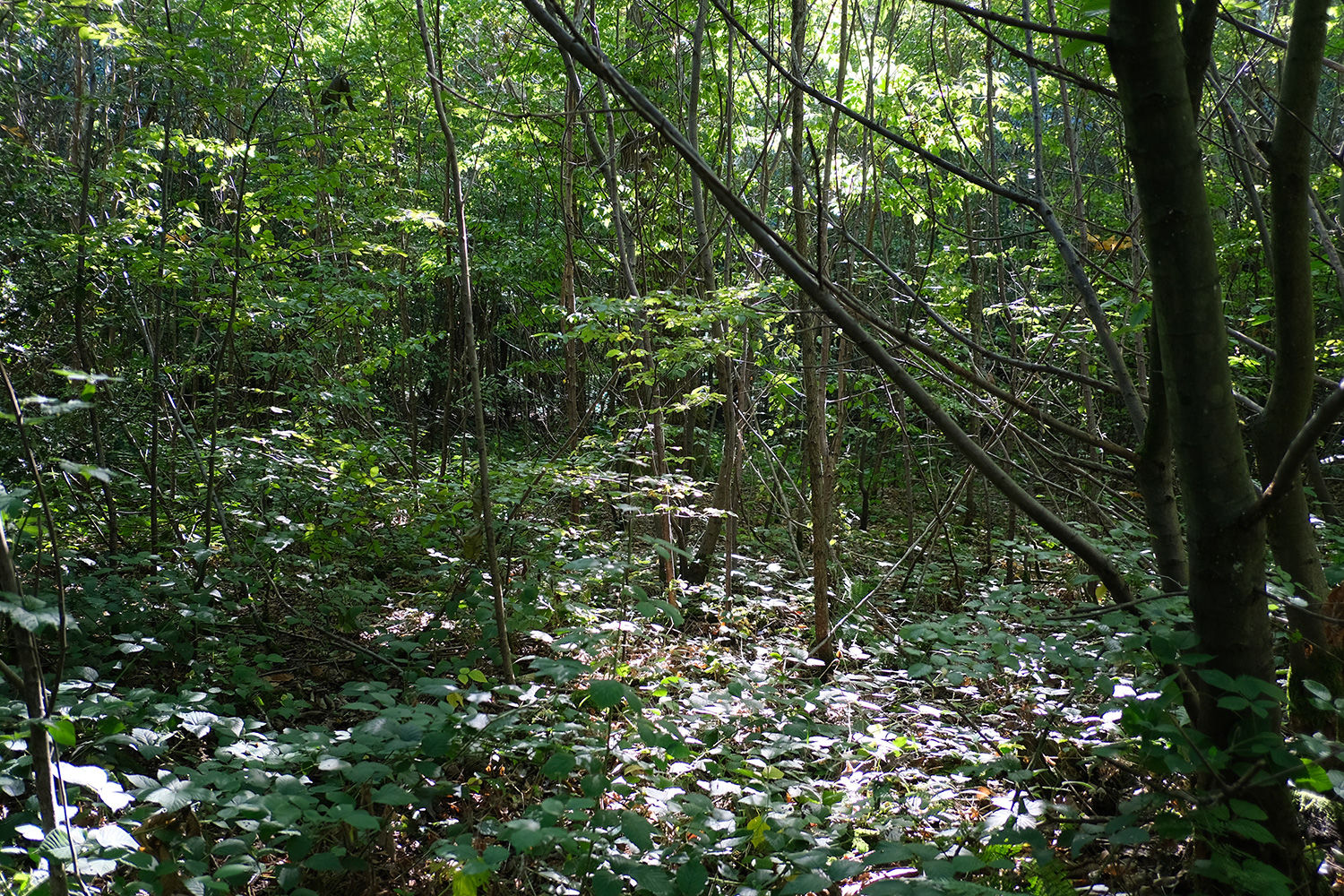
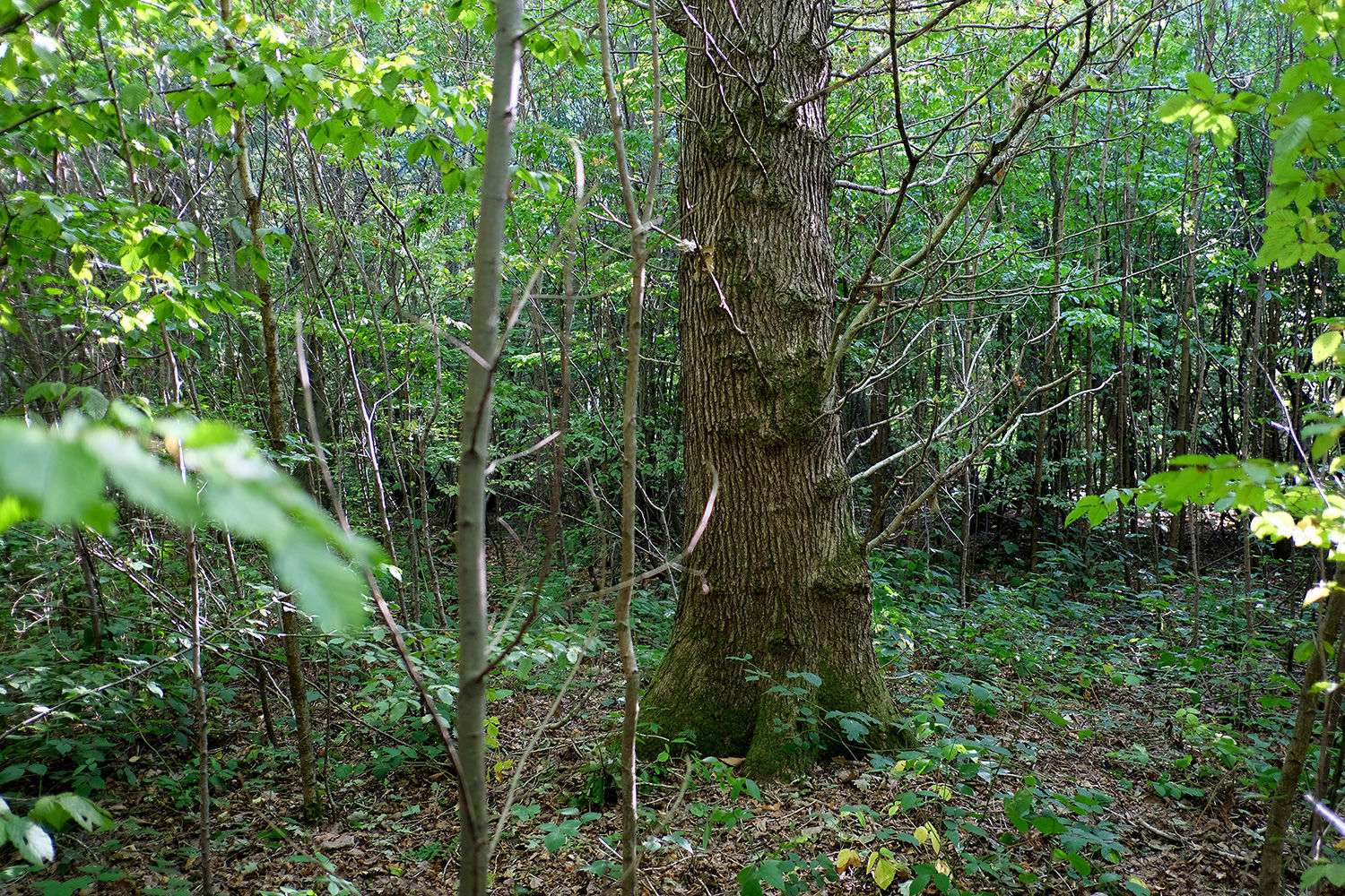
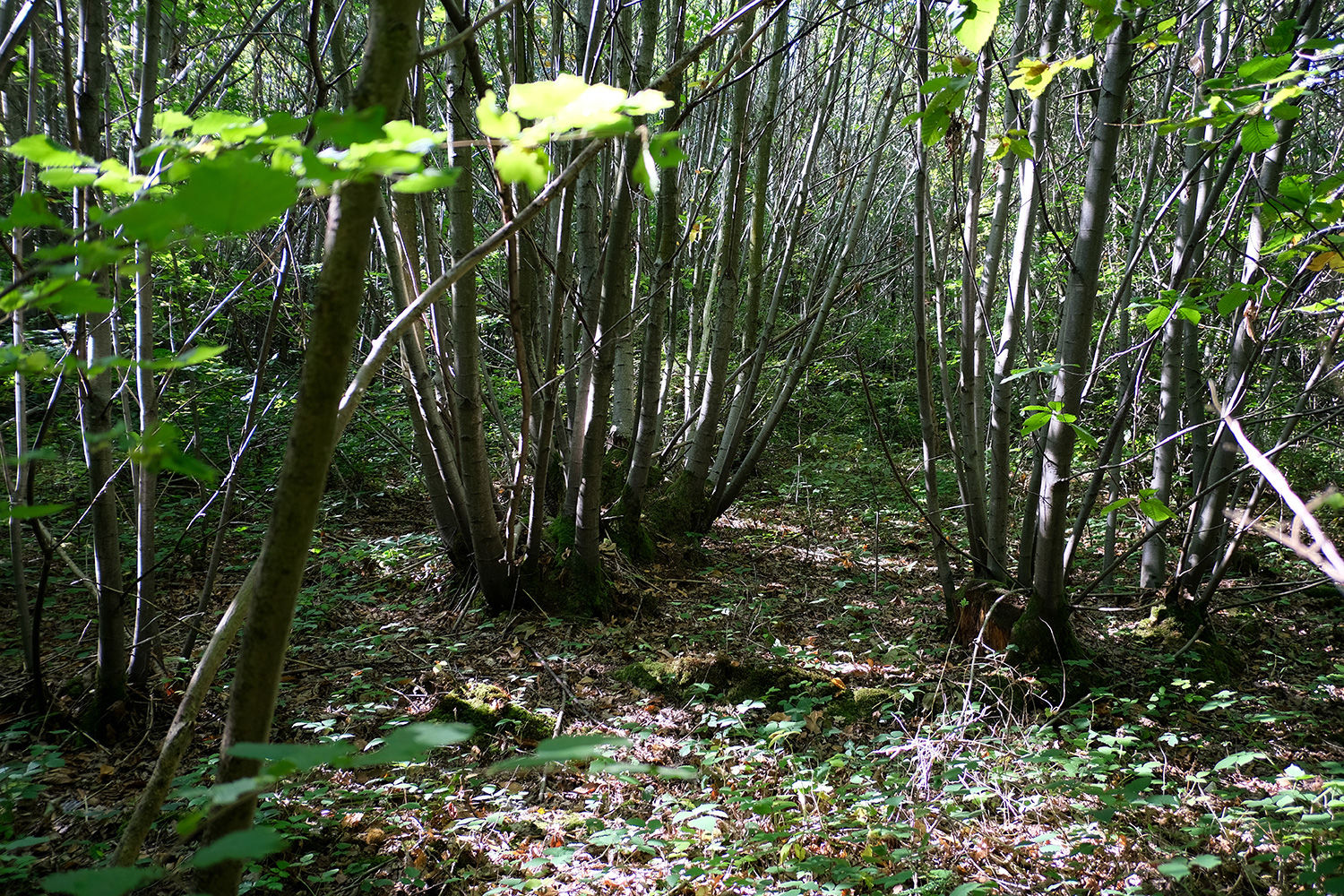
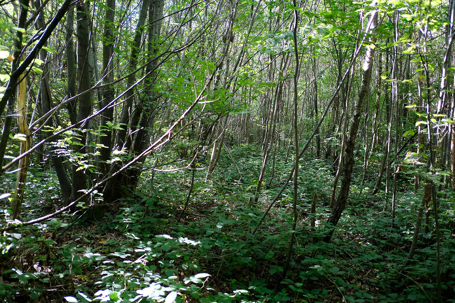
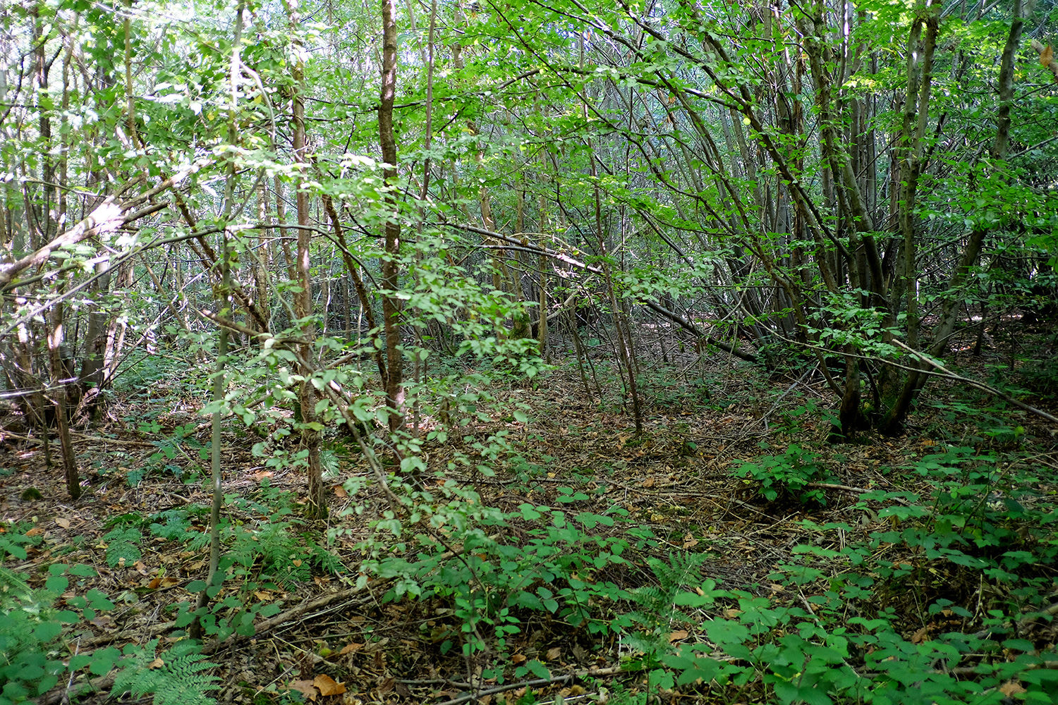
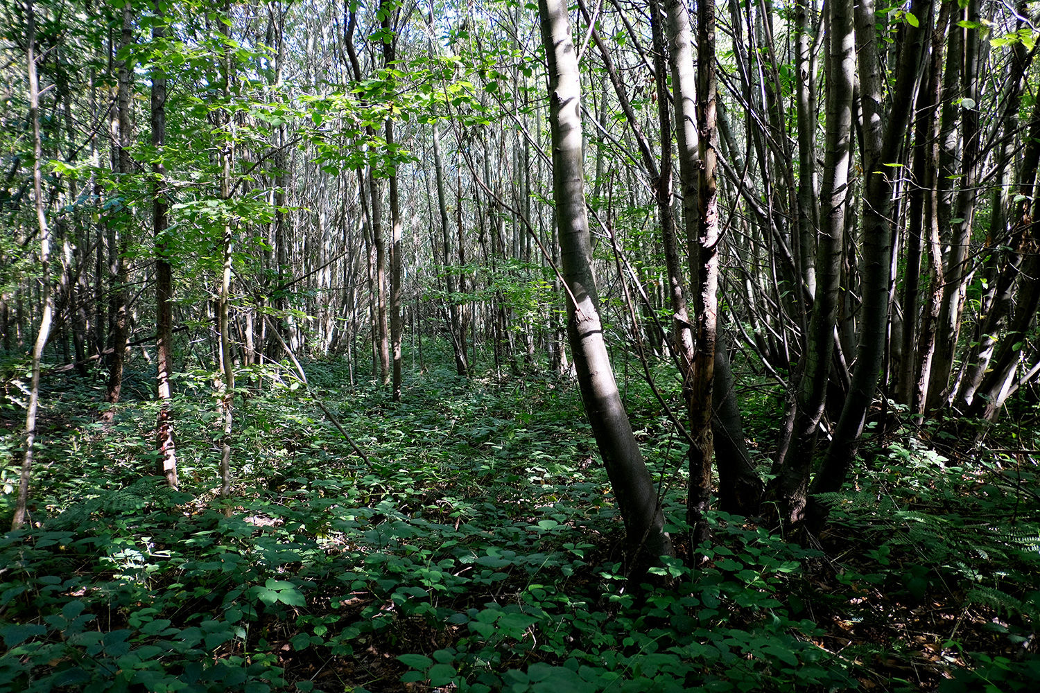
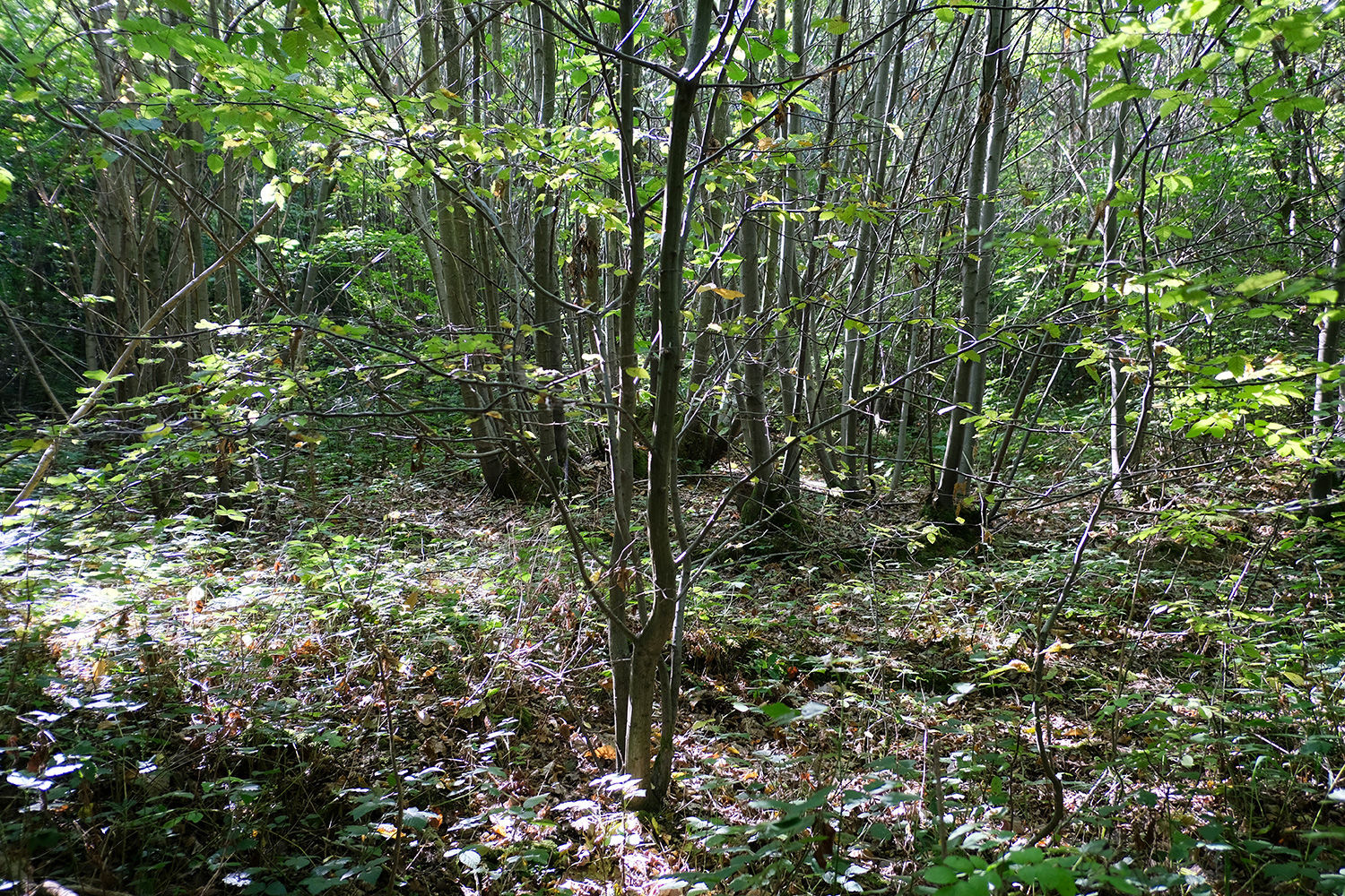
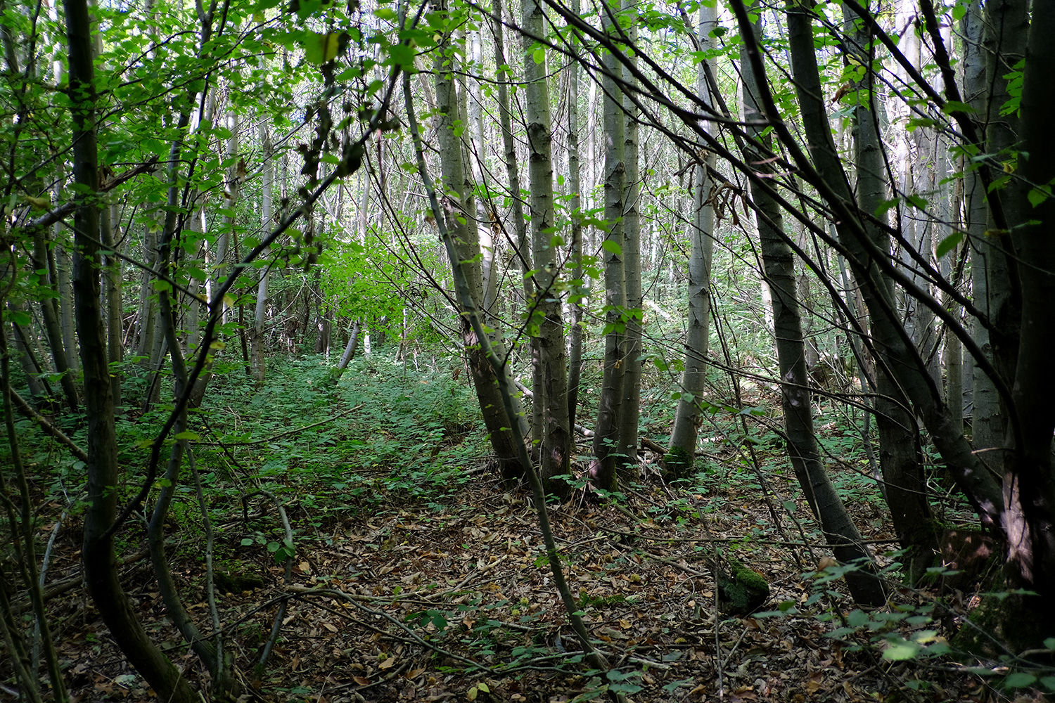
Bredhurst Hurst (part) offers an opportunity to own an untouched area of Ancient and Semi-Natural Woodland, nestled within the Kent Downs.
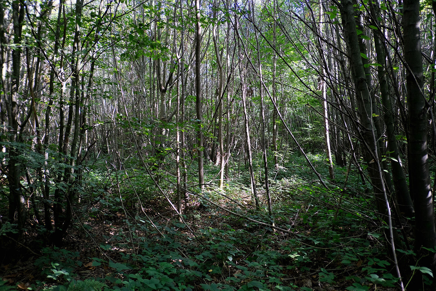
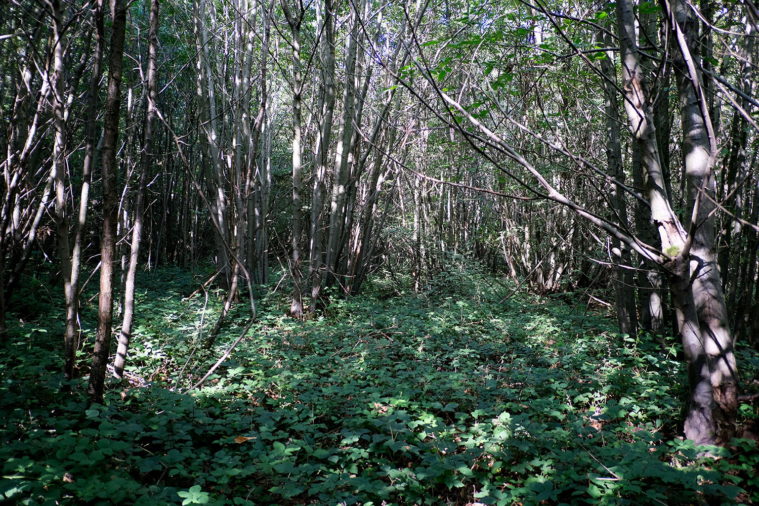
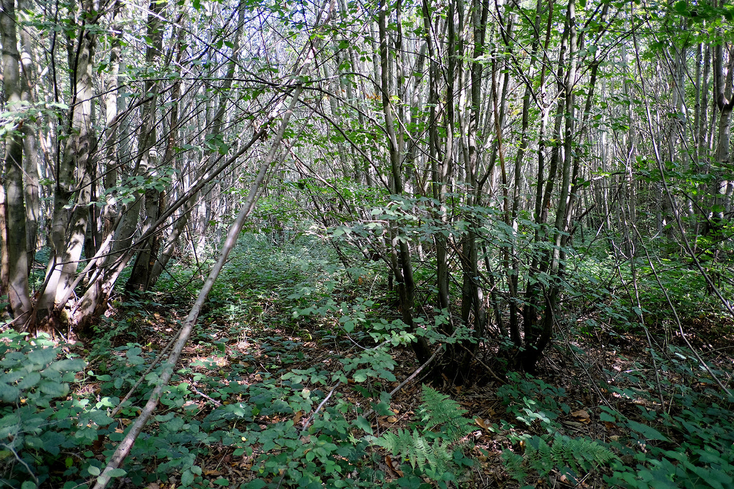
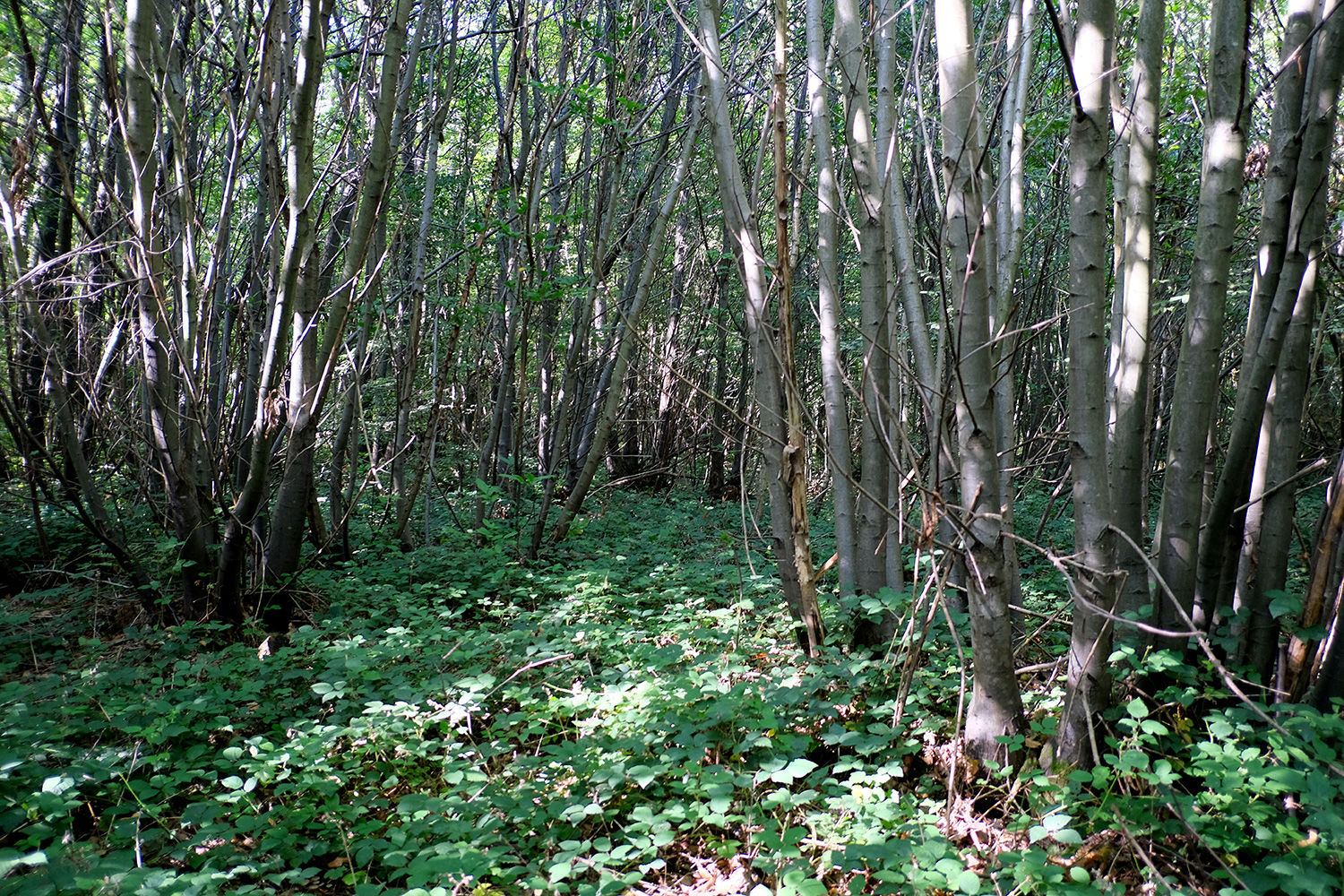
The woodland is largely composed of chestnut coppice, with an understory of hawthorn, young chestnut, beech, birch, cherry, and the occasional veteran oak rising above the canopy.
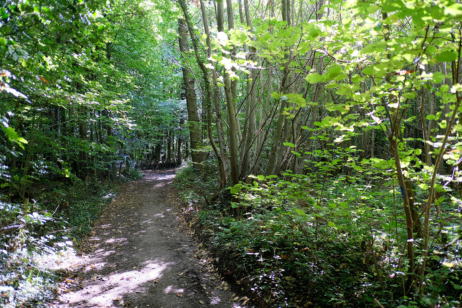
Having remained largely undisturbed for several years, the wood is dense in places but offers great potential. With some clearing and care, it could become an enchanting retreat. Traces of old woodland paths can still be found, though they are now overgrown. Several small glades and open areas remain, ideal for creating camp bases or enjoying woodland activities.
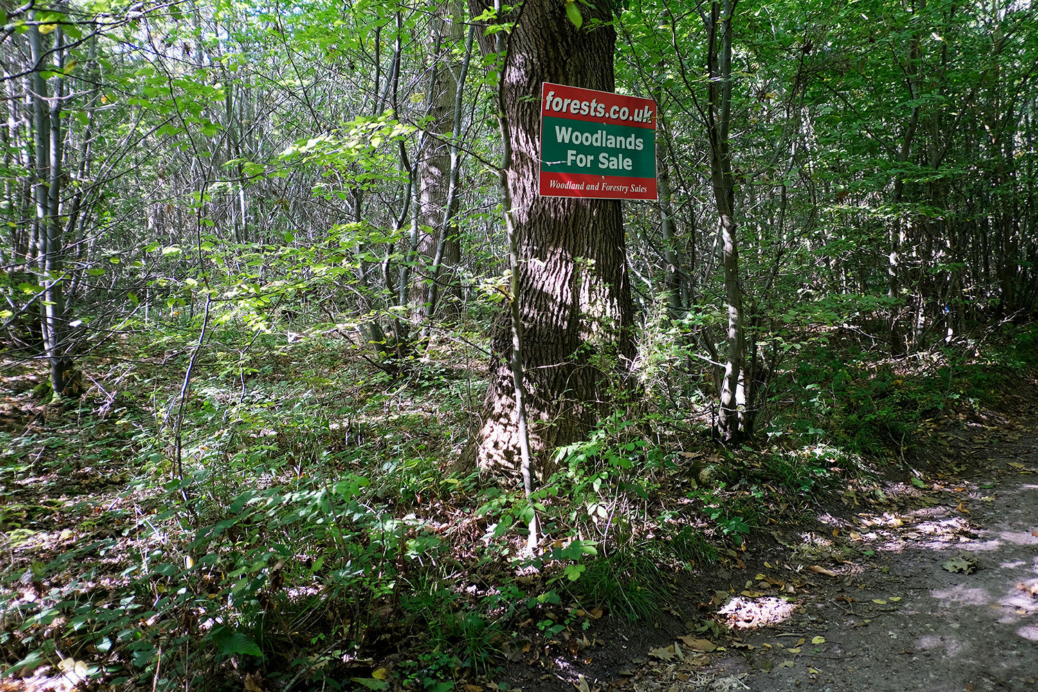
Boundaries on the north, west, and south sides are currently unmarked and will need to be formally mapped to confirm exact limits. The difficulty of this, due to the woodland’s density, has been reflected in the asking price.
The nearby village of Bredhurst is within easy walking distance and offers a welcoming pub and local shop, while Maidstone lies just a short drive away.
Ward is Boxley Downs, and the County Council is Kent.
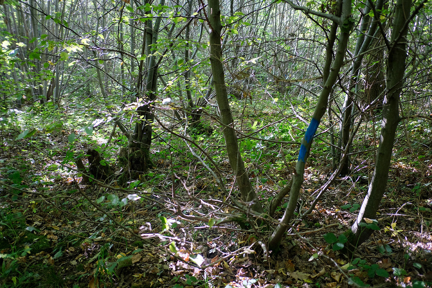
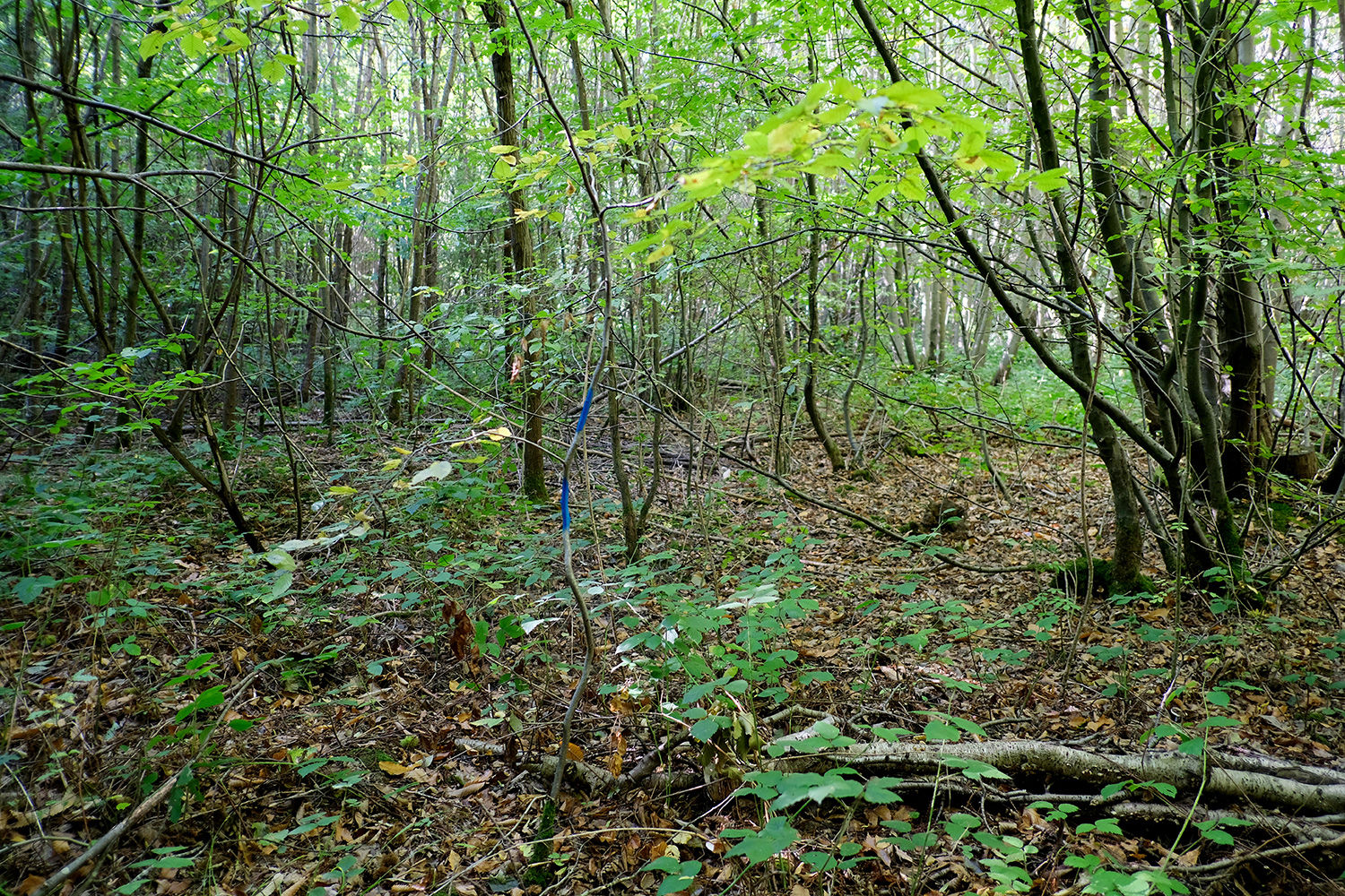
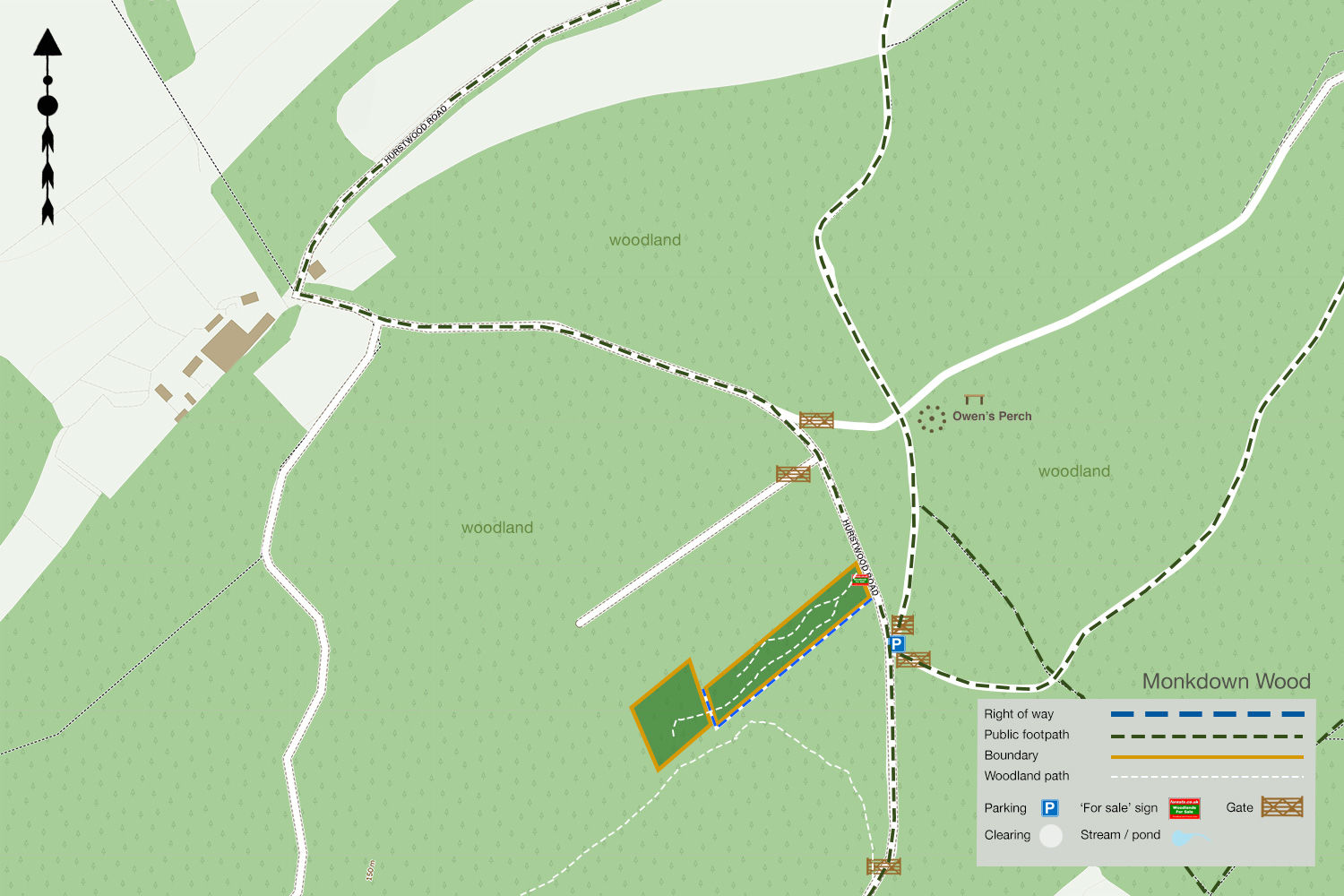
Boundaries: The boundary is open on all sides and marked with blue paint to the east bordering Hurstwood Road. N, W, and S the boundary is unmarked and all border neighbouring woodland.
Access: Vehicle access is possible via Hurstwood Road. Parking is possible opposite the woodland near the kissing gate. With some clearing, parking would be possible within the woodland itself.
Click HERE to see free OS maps.
Viewing: You are welcome to visit this wood by yourself, but please Click here to download the details showing the location of the woodland and ensure that you have a copy of these sales details with you. Many of our woodlands do not have mobile phone reception or internet access so we recommend either printing the details or downloading them to your phone or tablet. Please take care when viewing as the great outdoors can contain unexpected hazards and woodlands are no exception.
Maps: OS OpenData © Crown copyright and database rights 2025 & OpenStreetMap
Our Maps (Click on a map to see a large version)
Our Maps
Directions
Bredhurst Hurst, Hurstwood Road, Bredhurst, Gillingham.
1. Click here for Bing Maps Directions click on the "Directions" box, and enter your own postcode.
- For viewing purposes, we would suggest parking in Bredhurst village and following the public footpath, as shown on map 2. The woodland is near the kissing gate, and is marked 'P' on the map.
- Pass by Owen's Perch at the top of the hill and continue straight until you reach the kissing gate.
- The woodland is on the opposite side of the road and marked with blue paint and our 'For Sale' sign.
2. For Satnav: the nearest postcode is ME14 3HL as shown by the marker on the maps. The main coordinates for access are: 51.323103, 0.582384. W3W: ///vine.tripling.indicated
3. We recommend downloading OS maps to your phone. It's handy for giving you an idea of where you are on the ground when viewing woodlands.
Please note: the particulars with plans, maps, descriptions and measurements are for reference only and although carefully checked we cannot guarantee their accuracy and do not form part of any contract. Any intending purchasers must satisfy themselves by inspection or otherwise as to the correctness of these particulars.
Location maps
View and print this wood's location on Bing Maps »
Interested in this woodland? Get in touch with us:
Contact Ben Williamson on 07958 213 914 or email us at [email protected] with your details.