Archbishop Wood - Kent
Details for this wood
Guide price: £72,000 - Freehold
Size: About 4 acres
Location: Charing
OS Landranger: No.189
Grid ref: TQ 97975 50960
Nearest post code: TN27 0NR
Contact: Ben Williamson
Phone: 07958 213 914
Email: [email protected]
Email to a friend
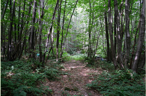
Archbishop Wood is a private, secluded woodland with excellent access, nestled within the Kent Downs National Landscape.
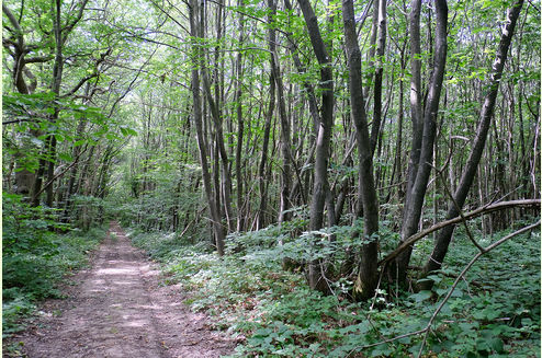
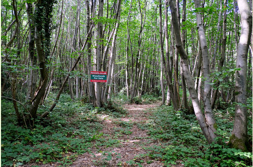
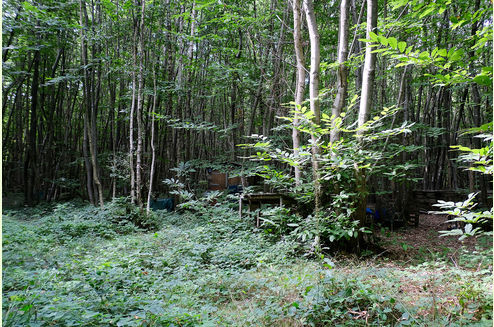
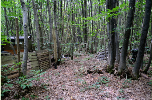
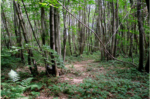
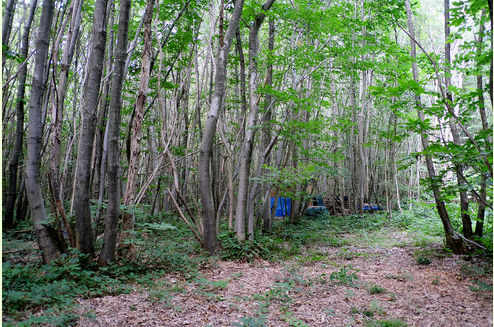
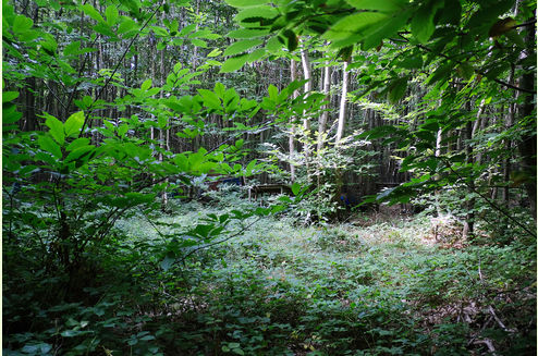
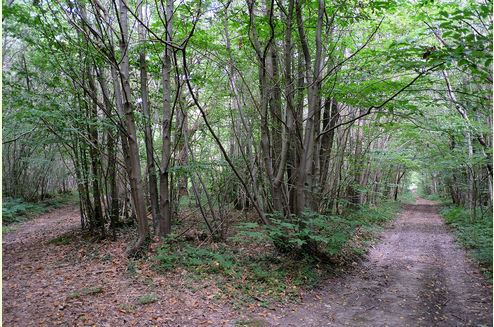
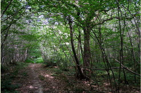
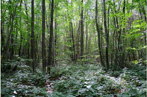
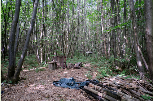
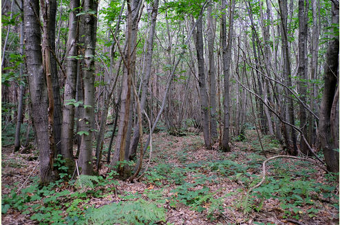
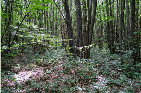
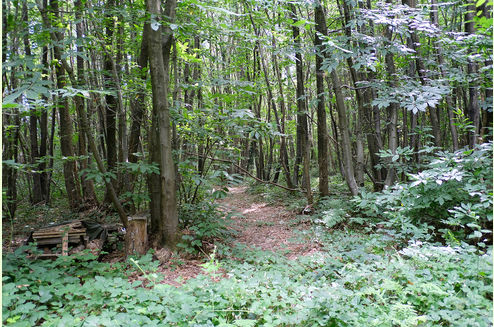
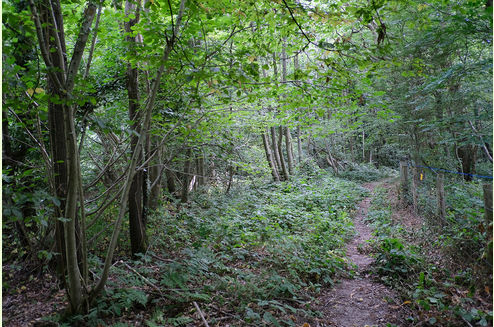
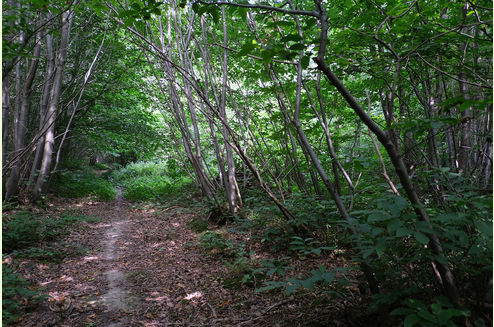
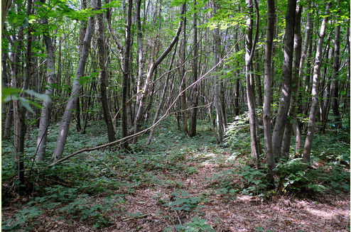
The wood is predominantly chestnut coppice of varying ages, interspersed with birch, hazel, beech, and hawthorn. At its southern edge stands a striking mature oak. In places, the coppice would benefit from thinning, offering a plentiful and sustainable source of firewood for those wishing to manage the woodland.
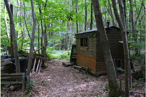
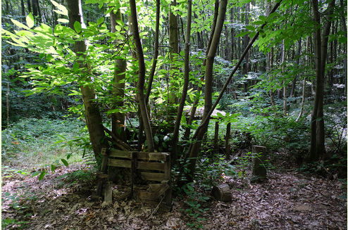
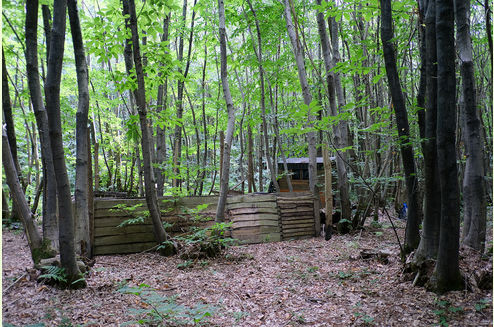
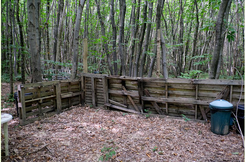
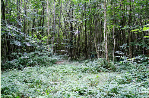
The terrain is mostly flat and easy to explore, with several open glades providing space for woodland activities. The current owners have added a practical storage shed complete with a log burner, as well as a composting loo.
As part of our woodland heritage, Archbishop Wood and the wider area are protected by a Tree Preservation Order (TPO) and an Article 4 designation, though these do not restrict everyday woodland management.
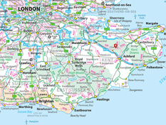
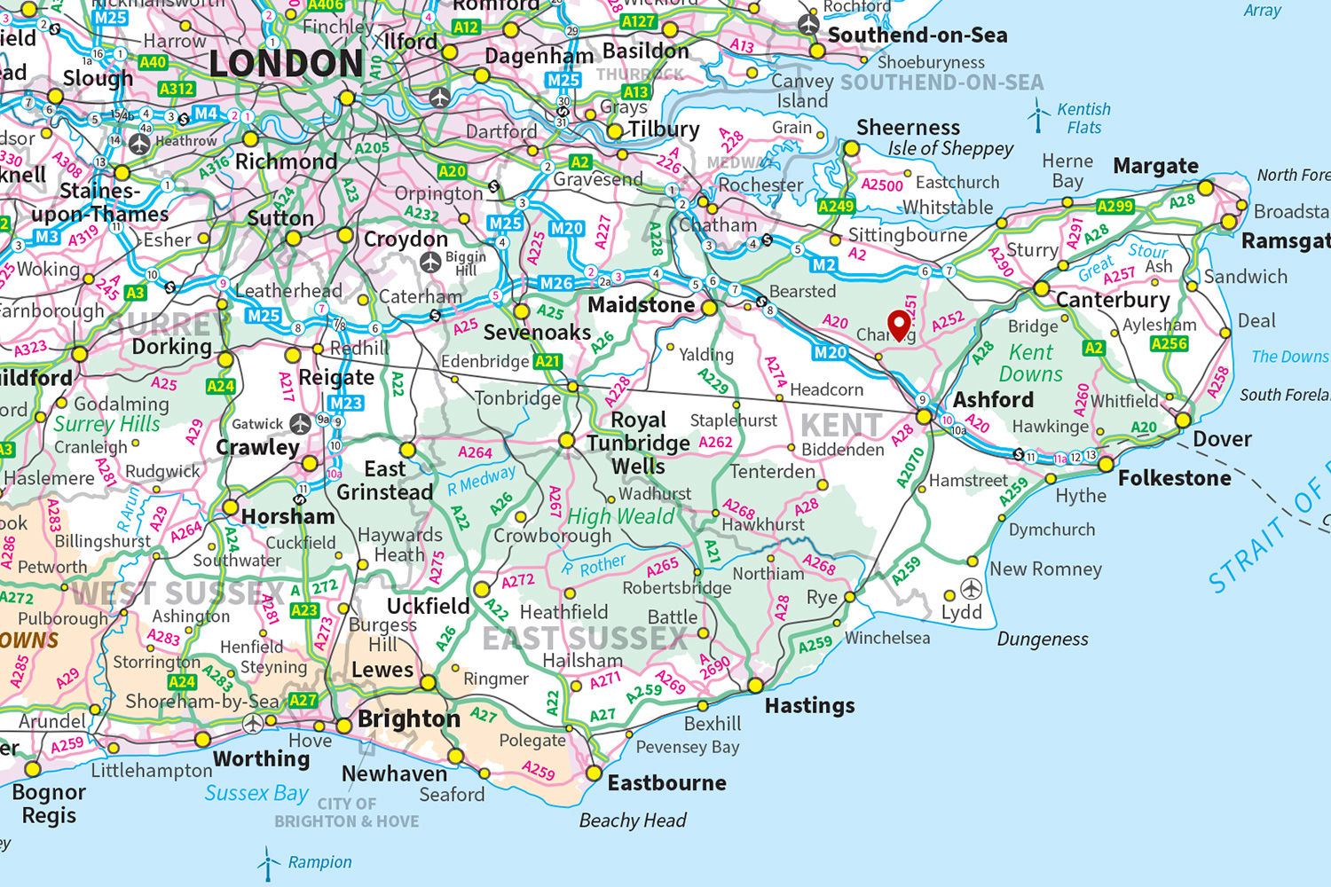
Nearby, the villages of Charing and Challock provide a range of amenities along with rail links, while the Wagon & Horses pub is just a five-minute stroll away. Archbishop forms part of Longbeech Wood, a 260-acre expanse offering superb local walks. For those looking to explore further, the coast is easily reached, with Whitstable to the north and Folkestone to the south.
The ward is Charing and the County Council is Kent.
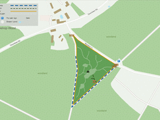
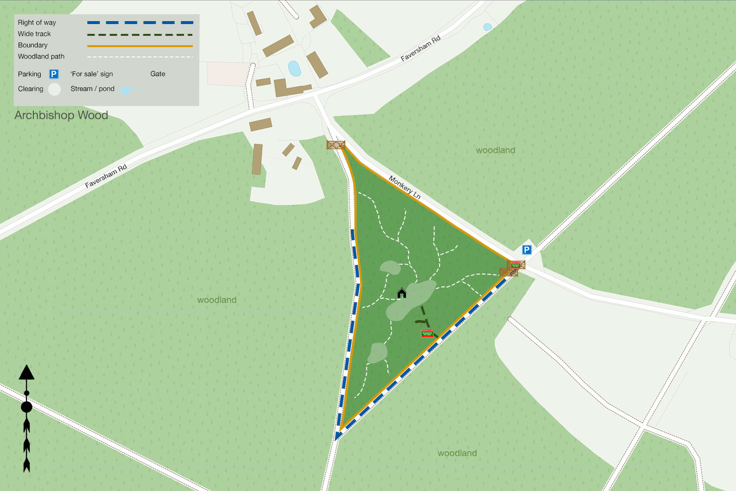
Boundaries: The boundary is open to the W and SE and follows the access tracks and neighbouring woodland beyond. NE is fenced and follows Monkery Lane.
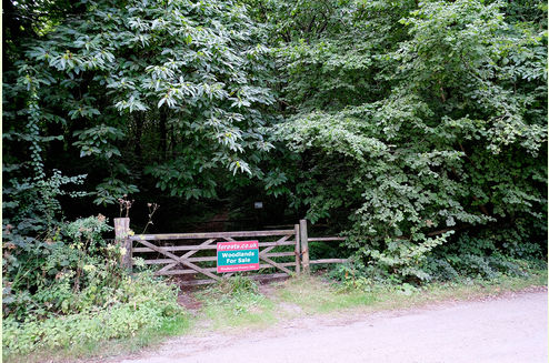
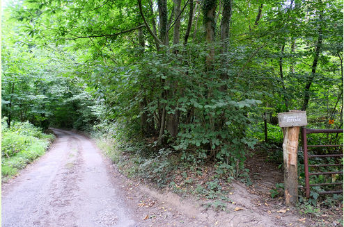
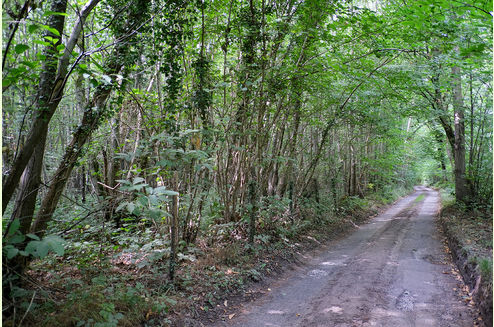
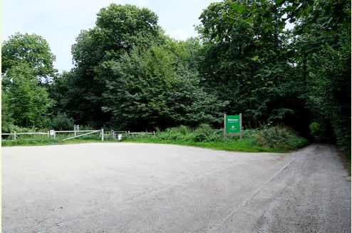
Access: Vehicle access is possible all year round via a hard track and shared locked gates. Parking is possible within the woodland itself. There is also a large parking area opposite the main entrance.
Covenant: There is a covenant on the wood designed to ensure the quiet and peaceful enjoyment of this and adjoining woodlands, click HERE to read and download.
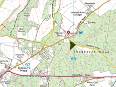
Click HERE to see free OS maps.
Viewing: You are welcome to visit this wood by yourself, but please Click here to download and print a map showing the location of the woodland and ensure that you have a copy of these sales details with you. Many of our woodlands do not have mobile phone reception or internet access so we recommend either printing the details or downloading them to your phone or tablet. Please take care when viewing as the great outdoors can contain unexpected hazards and woodlands are no exception.
Maps: OS OpenData © Crown copyright and database rights 2025 & OpenStreetMap
Our Maps
Directions
Archbishop Wood, Monkery Lane, Charing, Ashford
1. Click here for Bing Maps Directions click on the "Directions" box and enter your own postcode.
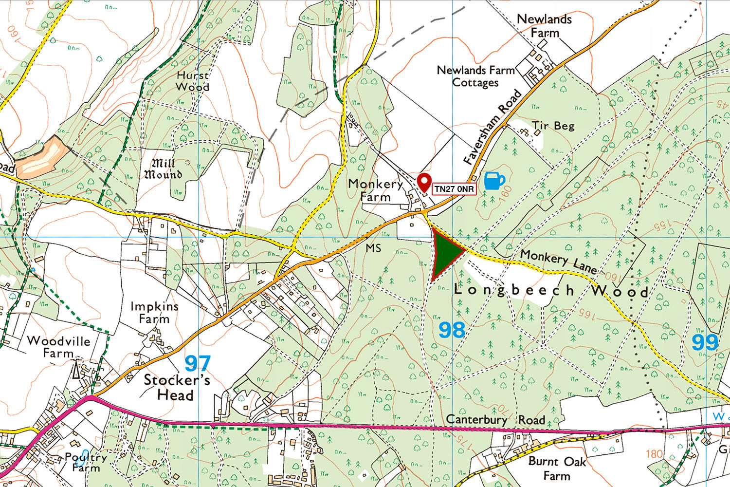
- For viewing purposes, please park in the public car park to Longbeech North, as marked on the map.
- Pass by the gates opposite the car park. Archbishop Wood will be on your right.
- Follow the track marked blue on the map. After approx 100m the main entrance to the woodland will be on your right.
2. For Satnav, the nearest postcode is TN27 0NR as the map marker shows. The main coordinates for access are: 51.223446, 0.835128. W3W: ///tradition.circle.craft
3. We recommend downloading OS maps to your phone. It's very useful for giving you an idea of where you are on the ground when viewing woodland.
Please note: the particulars with plans, maps, descriptions and measurements are for reference only and although carefully checked we cannot guarantee their accuracy and do not form part of any contract. Any intending purchasers must satisfy themselves by inspection or otherwise as to the correctness of these particulars.
Location maps
View and print this wood's location on Bing Maps »
Interested in this woodland? Get in touch with us:
Contact Ben Williamson on 07958 213 914 or email us at [email protected] with your details.


